Enter a name, company, place or keywords to search across this item. Then click "Search" (or hit Enter).
Zoom Out
Zoom In (Please allow time for high-res images to load)
Zoom: 100%
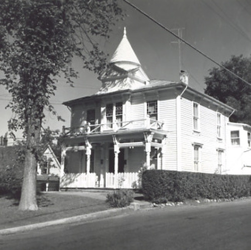
PIC 2-D 1:
Mulloy Home. Broad St., West, 517. 520 E. Broad ca. 1963, front exterior. 520 W. Broad, Mulloy Home, front exterior.
Mulloy Home. Broad St., West, 517. 520 E. Broad ca. 1963, front exterior. 520 W. Broad, Mulloy Home, front exterior.
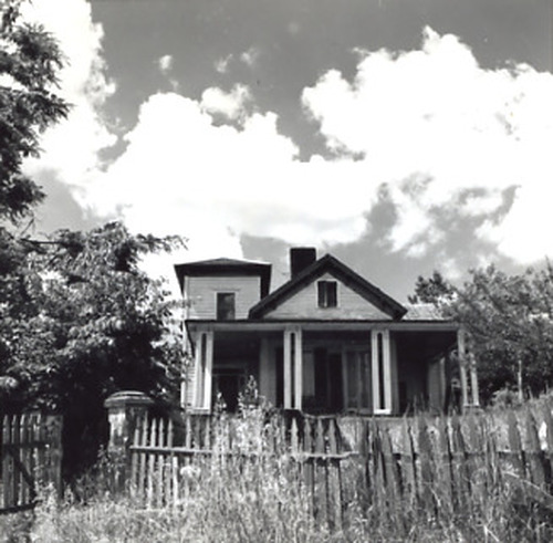
PIC 2-D 2:
Austin, Nora, Home. Monroe St.?, ca. 1963.
Austin, Nora, Home. Monroe St.?, ca. 1963.
PIC 2-D 3:
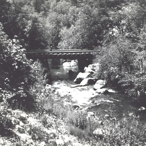
Deer Creek. View, ca. 1963, unnamed bridge.
Deer Creek. View, ca. 1963, unnamed bridge.
PIC 2-D 4:
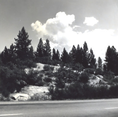
Coyote Diggins. Ca. 1963 from roadway.
Coyote Diggins. Ca. 1963 from roadway.
PIC 2-D 5:
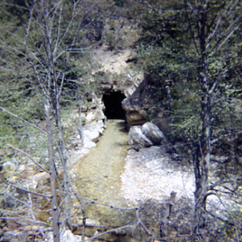
Shady Creek Tunnel. 1959, color.
Shady Creek Tunnel. 1959, color.
PIC 2-D 6:
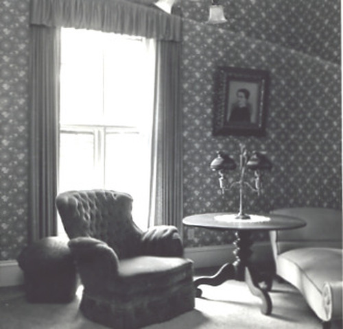
Marsh, M. L. house. Boulder St.. 254 Boulder, living room, ca. 1963. 254 Boulder,M. L. Marsh home, living room ca. 1963.
Marsh, M. L. house. Boulder St.. 254 Boulder, living room, ca. 1963. 254 Boulder,M. L. Marsh home, living room ca. 1963.

PIC 2-D 7:
Austin, Nora, home. Monroe St.. Monroe St.? Ca. 1963. Nora Austin Home, ca. 1963.
Austin, Nora, home. Monroe St.. Monroe St.? Ca. 1963. Nora Austin Home, ca. 1963.
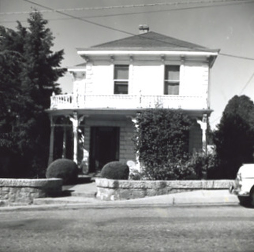
PIC 2-D 9:
Downie House. Broad St., West, 517. 517 W. Broad St., ca. 1963. 517 W. Broad, Downie House ca. 1963.
Downie House. Broad St., West, 517. 517 W. Broad St., ca. 1963. 517 W. Broad, Downie House ca. 1963.
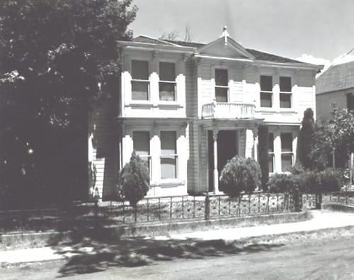
PIC 2-D 10:
Womack-Mein-Englebright Home. Mein Home. Broad St., East, 524. 524 E. Broad, front exterior. 524 E. Broad, Womack-Mein Englebright Home.
Womack-Mein-Englebright Home. Mein Home. Broad St., East, 524. 524 E. Broad, front exterior. 524 E. Broad, Womack-Mein Englebright Home.
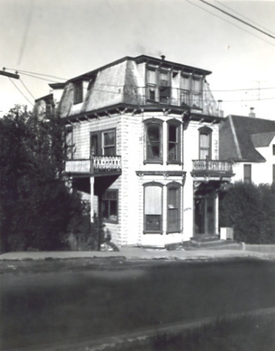
PIC 2-D 11:
Main St., 224. Berliner home. Rosenthall home. 224 Main St. Rosenthall/Berliner home, ca. 1963. 224 Main St... See More
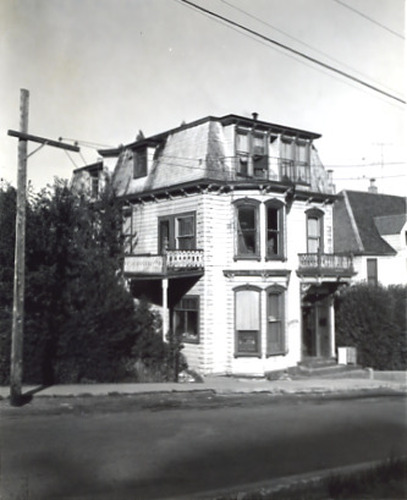
PIC 2-D 12:
Rosenthall/Berliner Home. Main St., 224. Rosenthall home. 224 Main St., ca. 1963. 224 Main St. Rosenthall/Berliner home, ca... See More
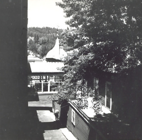
PIC 2-D 14:
National Alley. National Hotel. Broad St., 211. Bet National Hotel & Annex, with crossing, 1963. 211 Broad St.,National Alley bet. Hotel & Annex.
National Alley. National Hotel. Broad St., 211. Bet National Hotel & Annex, with crossing, 1963. 211 Broad St.,National Alley bet. Hotel & Annex.
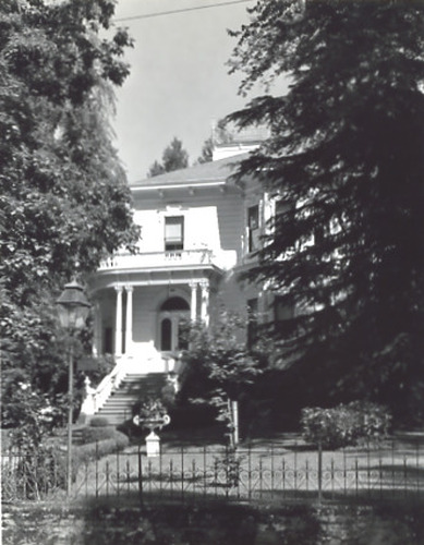
PIC 2-D 15:
Hunt, Dr. home. Nevada St., 315. 316 Nevada St.ca. 1963. 315 Nevada St.Dr. Hunt home, ca. 1963.
Hunt, Dr. home. Nevada St., 315. 316 Nevada St.ca. 1963. 315 Nevada St.Dr. Hunt home, ca. 1963.
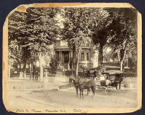
PIC 2-D 15B:
Hunt, Dr., Home. Nevada St., 316. Early photo w/horse & buggy in front.
Hunt, Dr., Home. Nevada St., 316. Early photo w/horse & buggy in front.
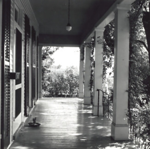
PIC 2-D 16:
Bourbon Lodge. Nevada St.. 236 Nevada St., ca. 1963. Bourbon Lodge, ca. 1963 porch, pillars, shutters.
Bourbon Lodge. Nevada St.. 236 Nevada St., ca. 1963. Bourbon Lodge, ca. 1963 porch, pillars, shutters.
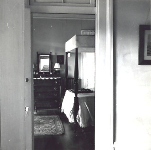
PIC 2-D 17:
Nevada St.. Bourbon Lodge, ca. 1963 bedroom.
Nevada St.. Bourbon Lodge, ca. 1963 bedroom.
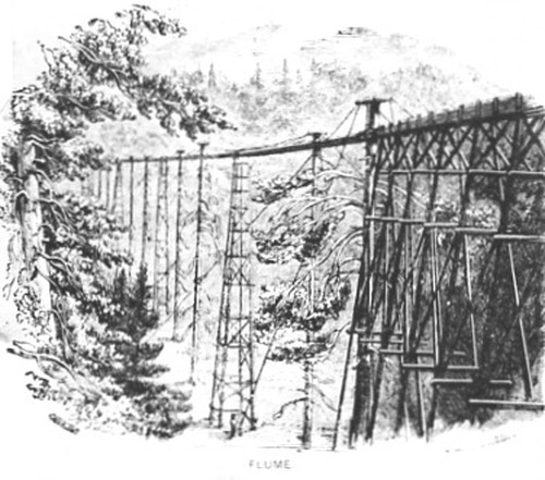
PIC 2-D 18:
Flume. Pic of lightograph.
Flume. Pic of lightograph.
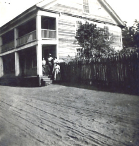
PIC 2-D 19:
Sierra County. Plum Valley. Plum Valley Road Station. Road Station, Sierra County.
Sierra County. Plum Valley. Plum Valley Road Station. Road Station, Sierra County.
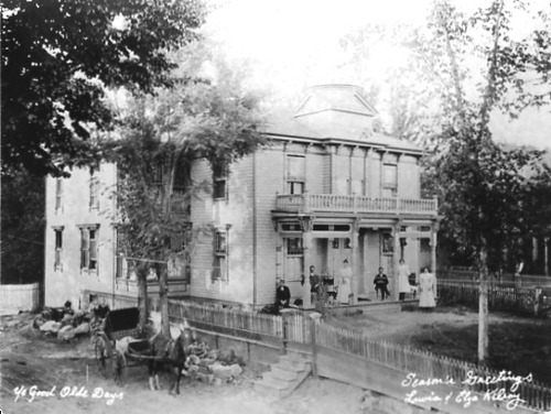
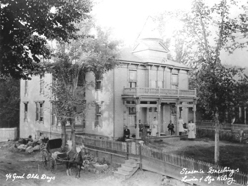
PIC 2-D 20-1:
Mulloy House. Broad St., West, 520. Kilroy Christmas Card of 520 W. Broad, buggy etc. 520 W. Broad, Mulloy house early photo.
Mulloy House. Broad St., West, 520. Kilroy Christmas Card of 520 W. Broad, buggy etc. 520 W. Broad, Mulloy house early photo.
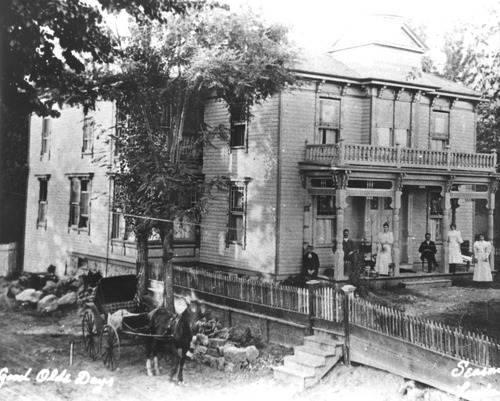
PIC 2-D 20-2:
Mulloy house. Broad St., West, 520. Kilroy Christmas card of 520 W. Broad, buggy etc. 520 W. Broad, Mulloy house early photo.
Mulloy house. Broad St., West, 520. Kilroy Christmas card of 520 W. Broad, buggy etc. 520 W. Broad, Mulloy house early photo.
PIC 2-D 20-3:
Mulloy House. Broad St., East 520. Same as 20-1 & 20-2. Cropped copy of PIC 2-D 20.
Mulloy House. Broad St., East 520. Same as 20-1 & 20-2. Cropped copy of PIC 2-D 20.
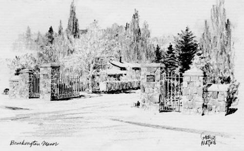
PIC 2-D 21:
Brockington Manor. Mathis, George. George Mathis drawing of entryway. Drawing of entryway to Brockington Manor.
Brockington Manor. Mathis, George. George Mathis drawing of entryway. Drawing of entryway to Brockington Manor.
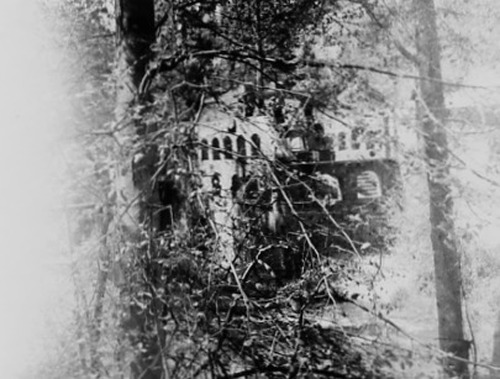
PIC 2-D 22:
North Star Powerhouse. B/w view of unrestored bldg through trees.
North Star Powerhouse. B/w view of unrestored bldg through trees.
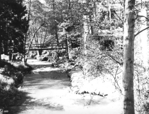
PIC 2-D 23:
North Star Powerhouse. Wolf Creek. B/w Wolf Creek, bridge, side of power house.
North Star Powerhouse. Wolf Creek. B/w Wolf Creek, bridge, side of power house.
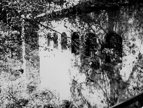
PIC 2-D 24:
North Star Powerhouse. Wolf Creek. B/w creek side of building. Color, Wolf Creek, bridge, bldg.
North Star Powerhouse. Wolf Creek. B/w creek side of building. Color, Wolf Creek, bridge, bldg.
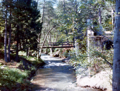
PIC 2-D 25:
[No description of available].
[No description of available].
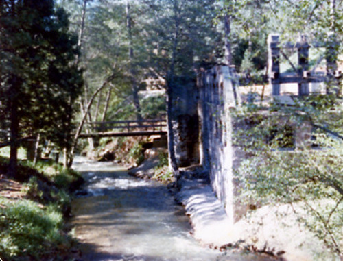
PIC 2-D 26:
North Star Powerhouse. Wolf Creek. Color, Wolf Creek, bridge, bldg.
North Star Powerhouse. Wolf Creek. Color, Wolf Creek, bridge, bldg.
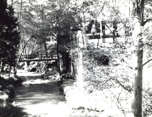
PIC 2-D 27:
Wolf Creek. North Star Powerhouse. B/w Wolf Creek, bridge, side of bldg.
Wolf Creek. North Star Powerhouse. B/w Wolf Creek, bridge, side of bldg.
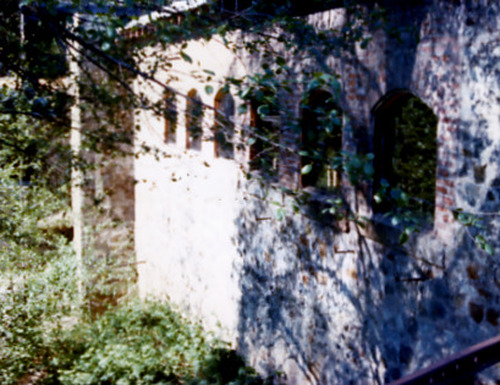
PIC 2-D 28:
North Star Powerhouse. Color, creek side of building.
North Star Powerhouse. Color, creek side of building.
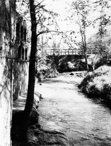
PIC 2-D 29:
North Star Powerhouse. Wolf Creek. B/w bldg, bridge, creek from downstream. B/w, bldg, bridge, Wolf Creek from... See More
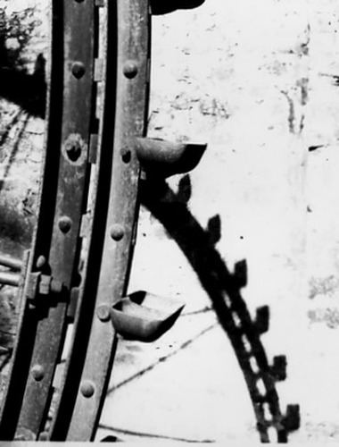
PIC 2-D 30:
North Star Powerhouse. B/w detail of Pelton Wheel.
North Star Powerhouse. B/w detail of Pelton Wheel.
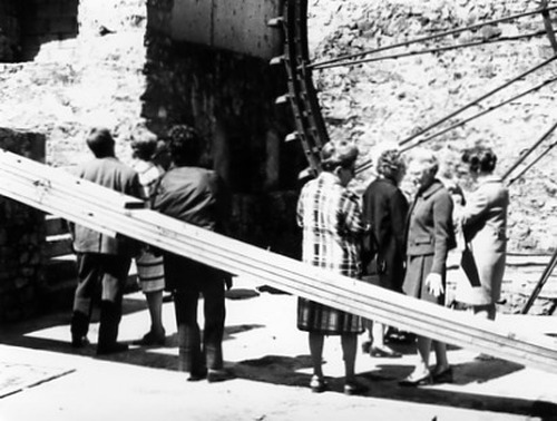
PIC 2-D 31:
North Star Powerhouse. B/w group in front of 30' Pelton Wheel.
North Star Powerhouse. B/w group in front of 30' Pelton Wheel.
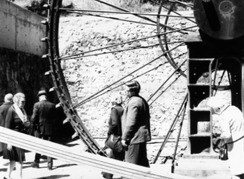
PIC 2-D 32:
North Star Powerhouse. B/w 30' Pelton Wheel, people.
North Star Powerhouse. B/w 30' Pelton Wheel, people.
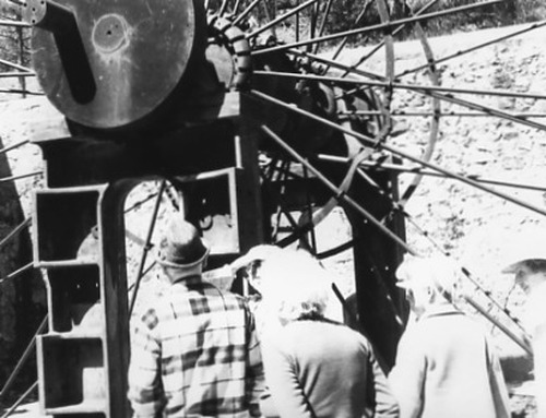
PIC 2-D 33:
North Star Powerhouse. B/w center of 30' Pelton Wheel, people.
North Star Powerhouse. B/w center of 30' Pelton Wheel, people.
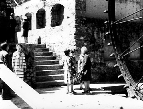
PIC 2-D 34:
North Star Powerhouse. B/w stairs, wall, Pelton Wheel, people.
North Star Powerhouse. B/w stairs, wall, Pelton Wheel, people.
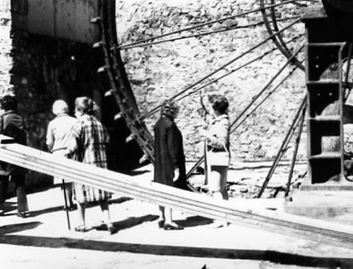
PIC 2-D 35:
North Star Powerhouse. B/w Pelton Wheel, wall, people.
North Star Powerhouse. B/w Pelton Wheel, wall, people.
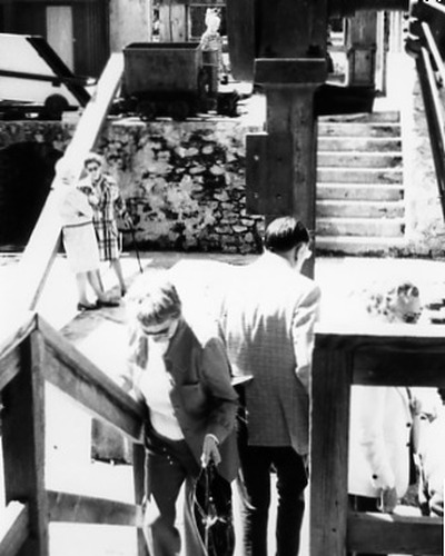
PIC 2-D 36:
North Star Powerhouse. B/w interior, stairs, wall, people.
North Star Powerhouse. B/w interior, stairs, wall, people.
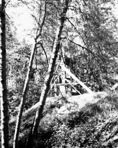
PIC 2-D 37:
North Star Powerhouse. B/w stamp mill through trees.
North Star Powerhouse. B/w stamp mill through trees.
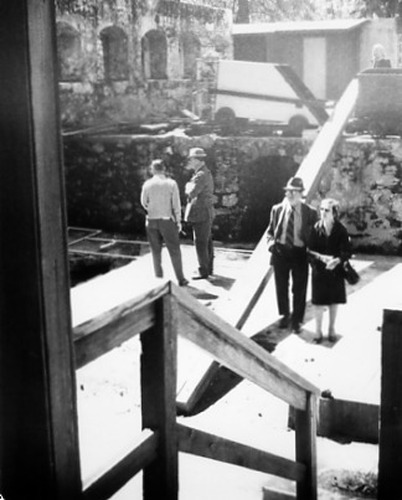
PIC 2-D 38:
North Star Powerhouse. B/w interior, ore car, walls, people.
North Star Powerhouse. B/w interior, ore car, walls, people.
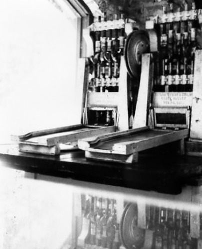
PIC 2-D 39:
North Star Powerhouse. Taylor Foundry stamp mills (miniature?).
North Star Powerhouse. Taylor Foundry stamp mills (miniature?).
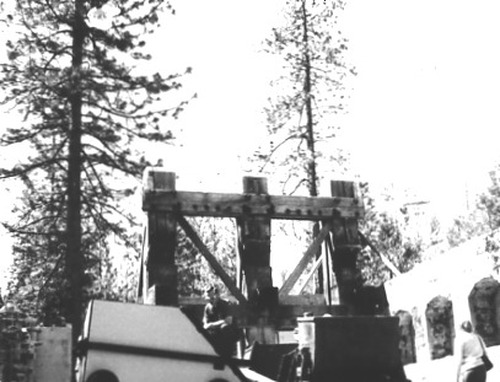
PIC 2-D 40:
North Star Powerhouse. B/w ore cars, structure.
North Star Powerhouse. B/w ore cars, structure.
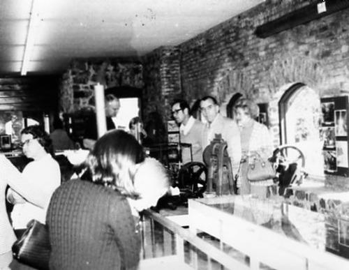
PIC 2-D 41:
North Star Powerhouse Museum. B/w exhibits, people.
North Star Powerhouse Museum. B/w exhibits, people.
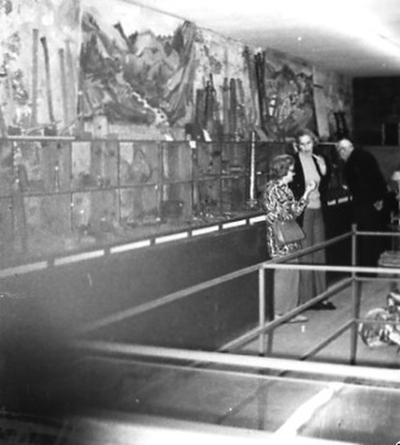
PIC 2-D 42:
North Star Powerhouse Museum. B/w exhibits, people.
North Star Powerhouse Museum. B/w exhibits, people.
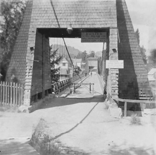
PIC 2-D 43:
Bridge, Pine St. Suspension. Shingled tower, barricade, sign.
Bridge, Pine St. Suspension. Shingled tower, barricade, sign.
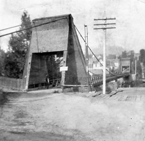
PIC 2-D 44:
Bridge, Pine St. Suspension. Dirt roadway, shingled tower, power pole.
Bridge, Pine St. Suspension. Dirt roadway, shingled tower, power pole.
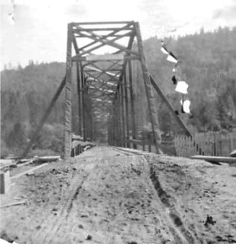
PIC 2-D 45:
Bridge. Unidentified, ca. 1904, under construction?.
Bridge. Unidentified, ca. 1904, under construction?.
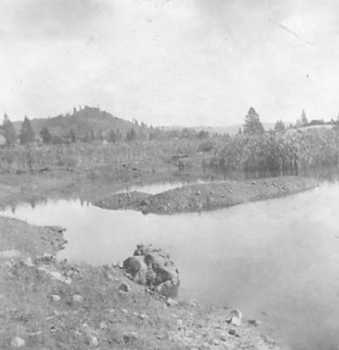
PIC 2-D 46-1:
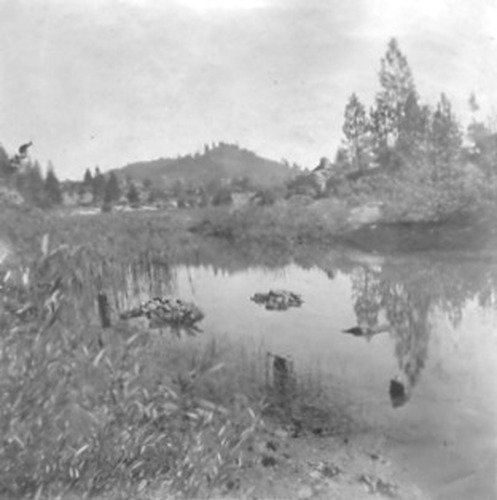
Hirschman Diggings. Pond, ca. 1910.
Hirschman Diggings. Pond, ca. 1910.
PIC 2-D 46-2:
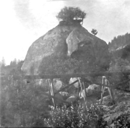
Hirschman Diggings. Rock outcropping & flume, ca. 1910.
Hirschman Diggings. Rock outcropping & flume, ca. 1910.
PIC 2-D 46-A:
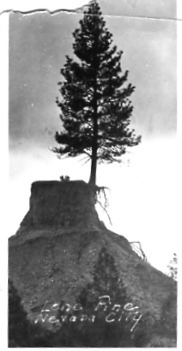
Lone Pine Tree. Small snapshot, silhouetted.
Lone Pine Tree. Small snapshot, silhouetted.
PIC 2-D 47:
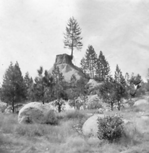
Hirschman Diggings. Lone Pine Tree. Lone pine tree and surroundings, ca. 1910. At Hirschman's Diggings, ca. 1910.
Hirschman Diggings. Lone Pine Tree. Lone pine tree and surroundings, ca. 1910. At Hirschman's Diggings, ca. 1910.
PIC 2-D 48:
Hirschman Diggings. Pond, ca. 1910.
Hirschman Diggings. Pond, ca. 1910.
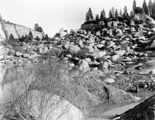
PIC 2-D 48-1:
Hirschman Diggings. Large boulders, some water, flume.
Hirschman Diggings. Large boulders, some water, flume.
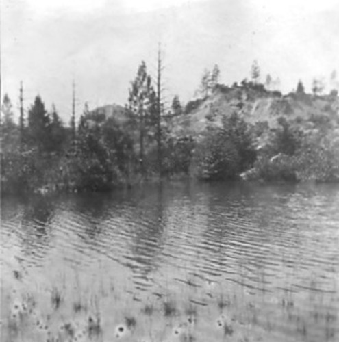
PIC 2-D 49:
Hirschman Dam. Pond, ca. 1910.
Hirschman Dam. Pond, ca. 1910.
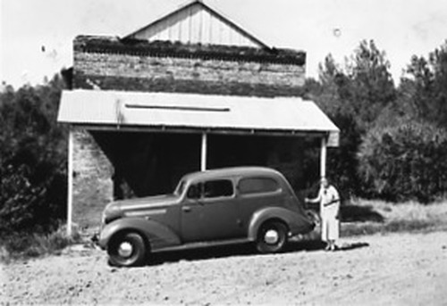
PIC 2-D 50:
Timbuctoo. Wells' Fargo bldg., ca. 1940's new roof & porch.
Timbuctoo. Wells' Fargo bldg., ca. 1940's new roof & porch.
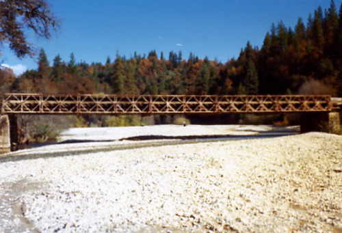
PIC 2-D 51:
Greenhorn Bridge. 1975, appears to be steel.
Greenhorn Bridge. 1975, appears to be steel.
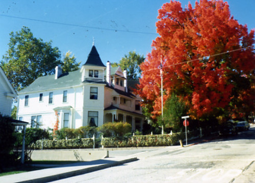
PIC 2-D 52:
Tremoureaux home. Neal St.. Fall Color. 403 Neal St. 403, Neal, Tremoureau home, fall color. Tremoureau house, red maple.
Tremoureaux home. Neal St.. Fall Color. 403 Neal St. 403, Neal, Tremoureau home, fall color. Tremoureau house, red maple.
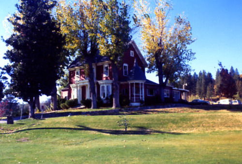
PIC 2-D 53:
Noel's Home. Nevada County Country Club. Main St., East, 1040. 1040 E. Main, N. Co. Country Club. 1040 E. Main, Noel's house. 1040 E. Main, Noel house.
Noel's Home. Nevada County Country Club. Main St., East, 1040. 1040 E. Main, N. Co. Country Club. 1040 E. Main, Noel's house. 1040 E. Main, Noel house.
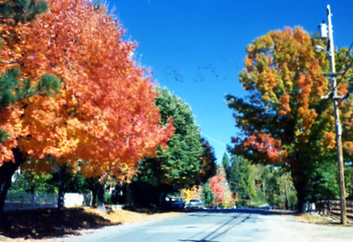
PIC 2-D 54:
Nevada St.. Fall color. 1975, fall color. Nevada St., 1975.
Nevada St.. Fall color. 1975, fall color. Nevada St., 1975.
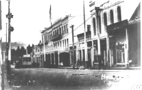
PIC 2-D 55:
Broad St.. National Hotel. I.O.O.F., Bldg., N.C.. Taylor's Tea. 1900, National Hotel, IOOF, Taylor's tea etc. W/annex, 1900, view of Broad St. Broad St. bldg, 1900, view of Broad St. Sign visible, view of Broad St., 1900.
Broad St.. National Hotel. I.O.O.F., Bldg., N.C.. Taylor's Tea. 1900, National Hotel, IOOF, Taylor's tea etc. W/annex, 1900, view of Broad St. Broad St. bldg, 1900, view of Broad St. Sign visible, view of Broad St., 1900.
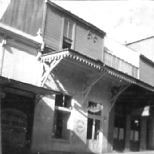
PIC 2-D 56-1:
Tegler's Candy Store. Commercial St., 229. Colley, Jim. Commercial St. 229 Commercial (now Alpha parking lot). Tegler's Candy Store sold to J. Colley.
Tegler's Candy Store. Commercial St., 229. Colley, Jim. Commercial St. 229 Commercial (now Alpha parking lot). Tegler's Candy Store sold to J. Colley.
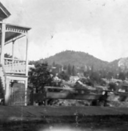
PIC 2-D 56-2:
Nevada City. View, unidentified bldg.
Nevada City. View, unidentified bldg.
PIC 2-D 56-BACK:
[No associated photo or description available].
[No associated photo or description available].
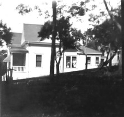
PIC 2-D 57-A:
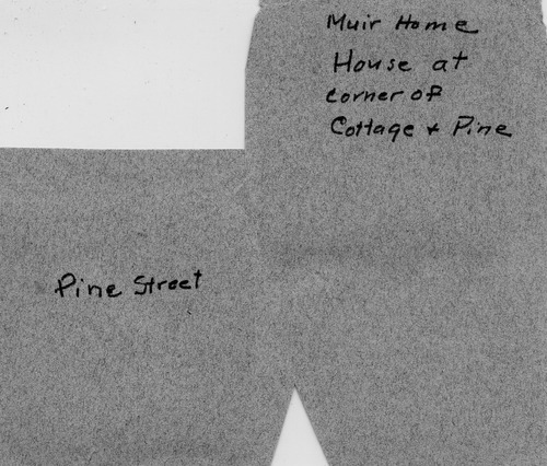
Muir home. Cottage & Pine St.
Muir home. Cottage & Pine St.
PIC 2-D 57A,B-BACK:
[No associated photo or description available].
[No associated photo or description available].
PIC 2-D 57-B:
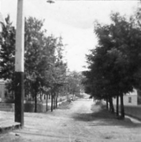
Pine St., North. Undated early photo.
Pine St., North. Undated early photo.
PIC 2-D 57-C:
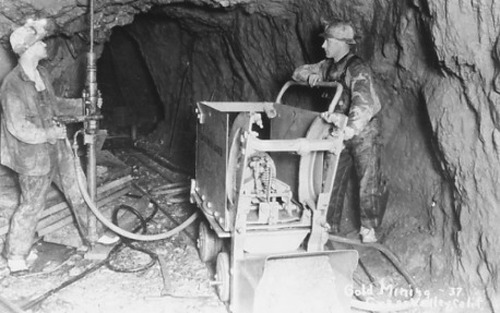
gold mining. Unnamed mine, 2 men pheumatic drill, postcard.
gold mining. Unnamed mine, 2 men pheumatic drill, postcard.
PIC 2-D 58:
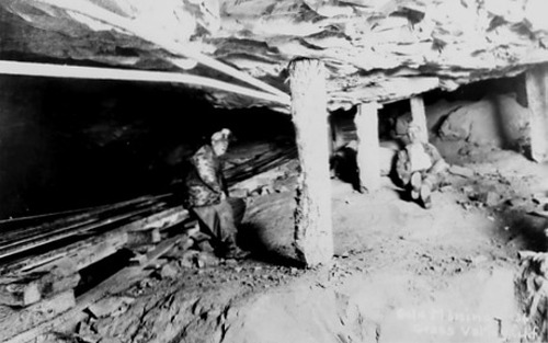
gold mining. Unnamed mine, 2 men resting, low overhead, support.
gold mining. Unnamed mine, 2 men resting, low overhead, support.
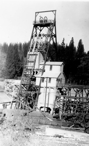
PIC 2-D 59:
Idaho Maryland Mine. Headframe etc., b/w postcard.
Idaho Maryland Mine. Headframe etc., b/w postcard.
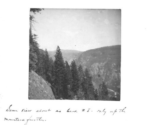
PIC 2-D 61:
Yuba River, South. View of canyon.
Yuba River, South. View of canyon.
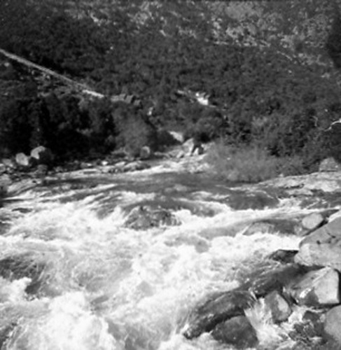
PIC 2-D 62:
Yuba River, South. View of water, bldgs, flume? In background.
Yuba River, South. View of water, bldgs, flume? In background.
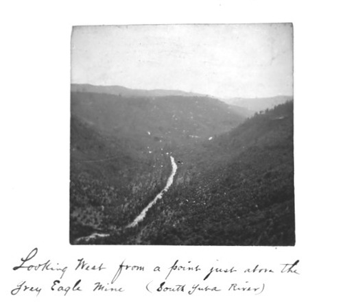
PIC 2-D 63:
Yuba River, South. Grey Eagle Mine. View from Grey Eagle Mine. View of S. Yuba River from.
Yuba River, South. Grey Eagle Mine. View from Grey Eagle Mine. View of S. Yuba River from.
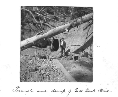
PIC 2-D 64:
Gold Bank Mine. Tunnel entrance, dump, 1 man.
Gold Bank Mine. Tunnel entrance, dump, 1 man.
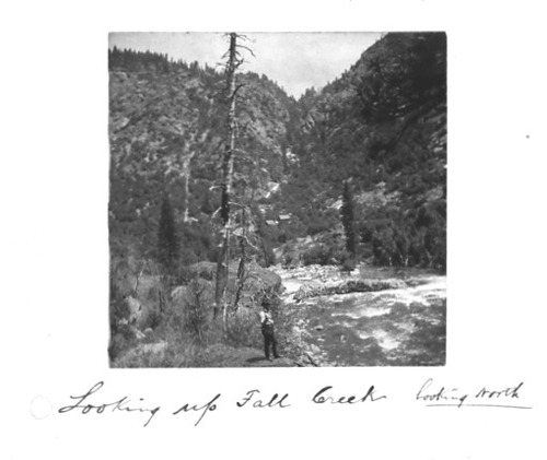
PIC 2-D 65:
Fall Creek. 1 man, looking up (north).
Fall Creek. 1 man, looking up (north).
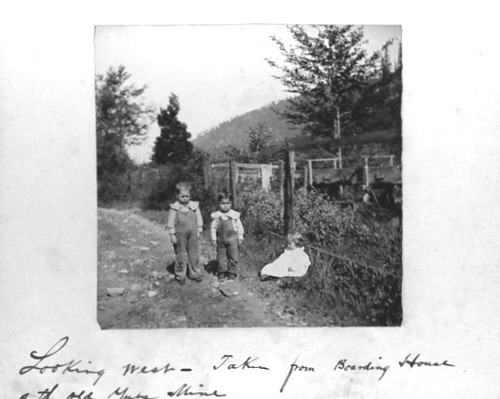
PIC 2-D 66:
Yuba Mine, Old. View west from boarding house, 3 children.
Yuba Mine, Old. View west from boarding house, 3 children.
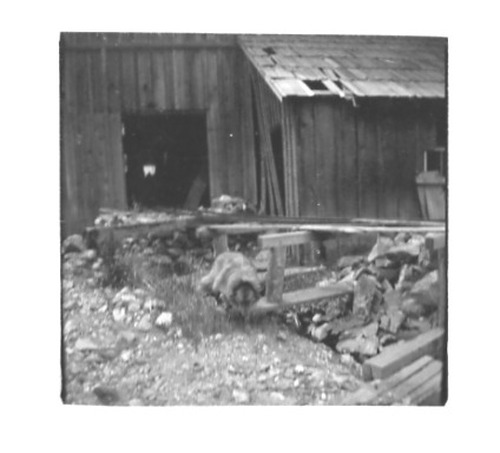
PIC 2-D 67:
Yuba Mine, Old?. Bldgs, dog.
Yuba Mine, Old?. Bldgs, dog.
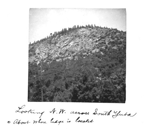
PIC 2-D 68:
Yuba River, South. View across.
Yuba River, South. View across.
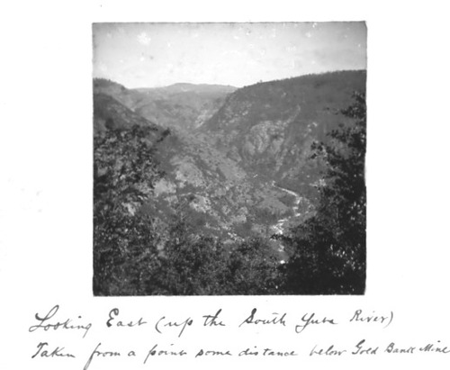
PIC 2-D 69:
Gold Bank Mine. Yuba River, South. View east up S. Yuba River. View east from Gold Bank Mine.
Gold Bank Mine. Yuba River, South. View east up S. Yuba River. View east from Gold Bank Mine.
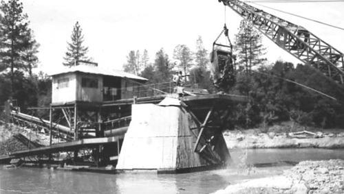
PIC 2-D 71-1:
Deer Creek. Dredging. Mines, see dredging. Dredging operation. Deer Creek dredging operation.
Deer Creek. Dredging. Mines, see dredging. Dredging operation. Deer Creek dredging operation.
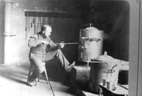
PIC 2-D 71-2:
Gold Bank Mine. Assay office? Interior, man, furnaces.
Gold Bank Mine. Assay office? Interior, man, furnaces.
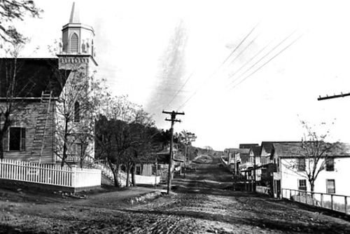
PIC 2-D 72-1:
Smartsville. Yuba County. Post card, church, other bldgs., dirt road. Smartsville, post card, church, bldgs, dirt road.
Smartsville. Yuba County. Post card, church, other bldgs., dirt road. Smartsville, post card, church, bldgs, dirt road.
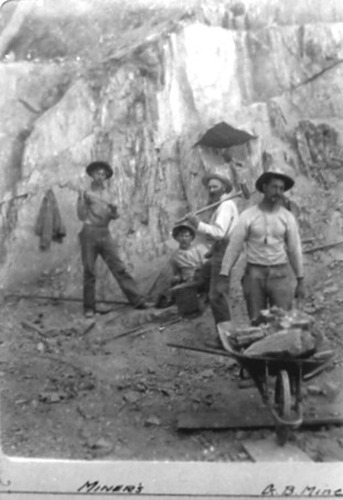
PIC 2-D 72-2:
Gold Bank Mine. 4 miners, wheelbarrow.
Gold Bank Mine. 4 miners, wheelbarrow.
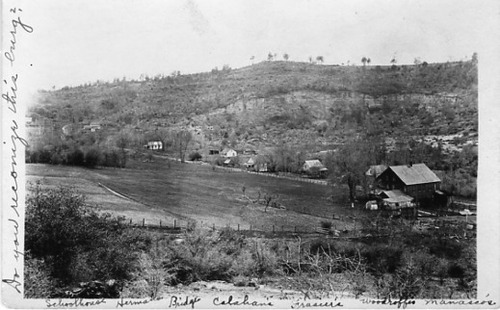
PIC 2-D 73-1:
Smartsville. Yuba County. Herman's. Calahan's. Frasier's. Woodruff's. Manasco's. Post mark Smartville, 1912, distant view.
Smartsville. Yuba County. Herman's. Calahan's. Frasier's. Woodruff's. Manasco's. Post mark Smartville, 1912, distant view.
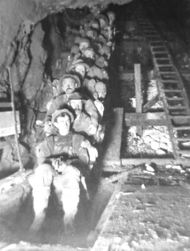
PIC 2-D 73-2:
Gold Bank Mine. Man skip. Man skip, single row, 11 men. Gold Bank Mine, single row, 11 men.
Gold Bank Mine. Man skip. Man skip, single row, 11 men. Gold Bank Mine, single row, 11 men.
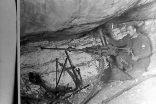
PIC 2-D 74-1:
Gold Bank Mine. 1 man, power drill, underground.
Gold Bank Mine. 1 man, power drill, underground.
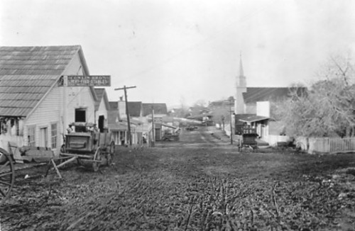
PIC 2-D 74-2:
Smartsville. Yuba County. Conlin Bros. Livery Stable. Post card, livery stable, church etc., dirt road. Smartville, livery stable, church etc., dirt road.
Smartsville. Yuba County. Conlin Bros. Livery Stable. Post card, livery stable, church etc., dirt road. Smartville, livery stable, church etc., dirt road.
PIC 2-D 74-2-B-BACK:
[No associated photo or description available].
[No associated photo or description available].
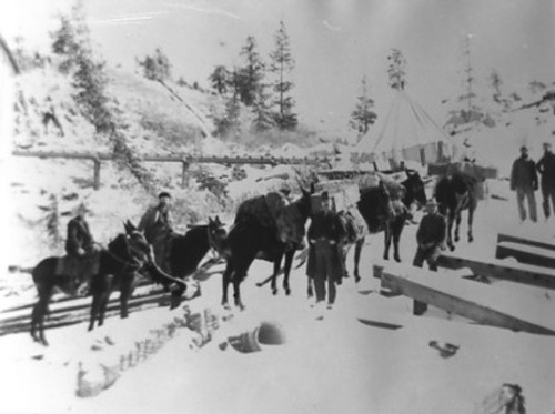
PIC 2-D 75:
Meadow Lake Mine. Men, horses, pack animals, snow, tent.
Meadow Lake Mine. Men, horses, pack animals, snow, tent.
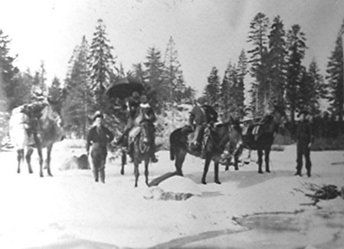
PIC 2-D 76:
Meadow Lake Mine. Men, horses, pack animals, woman? W/parasol.
Meadow Lake Mine. Men, horses, pack animals, woman? W/parasol.
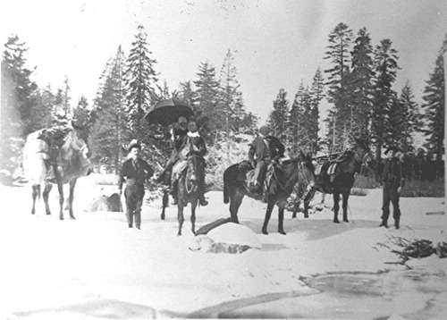
PIC 2-D 76-2:
[No description of available].
[No description of available].
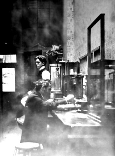
PIC 2-D 77:
Assay office. Nevada City Assay Office. Nevada City Assay Office, 2 men, equipment. Interior, 2 men,... See More
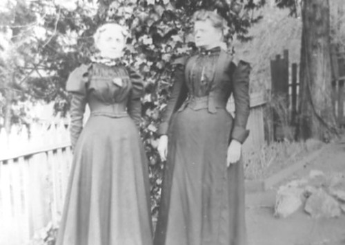
PIC 2-D 78:
Nilon, Celia. Fraser, Sarah. 2 ladies, ca. 1890.
Nilon, Celia. Fraser, Sarah. 2 ladies, ca. 1890.
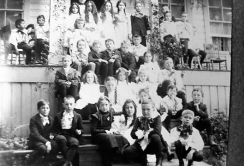
PIC 2-D 79:
School class. Goyne, Gertrude. Gertrude Goynes class of 1900. School class of 1900.
School class. Goyne, Gertrude. Gertrude Goynes class of 1900. School class of 1900.
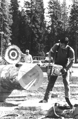
PIC 2-D 81:
Nevada County Fair. Loggers competition.
Nevada County Fair. Loggers competition.
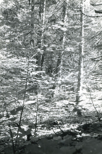
PIC 2-D 82-1:
Rock Creek Trail. Trees, creek.
Rock Creek Trail. Trees, creek.
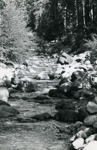
PIC 2-D 82-2:
Rock Creek Trail. Creek, rocks, trees in background.
Rock Creek Trail. Creek, rocks, trees in background.

PIC 2-D 82-3:
Rock Creek Trail. Creek/trees.
Rock Creek Trail. Creek/trees.
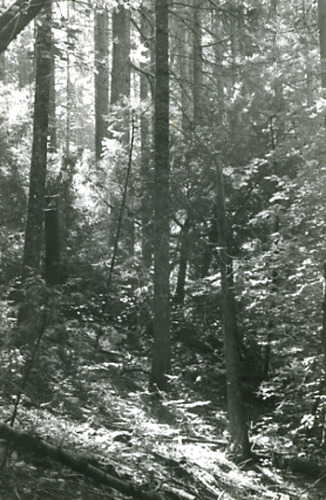
PIC 2-D 82-4:
Rock Creek Trail. Nevada County Fair. Vegetation. Horticulture bldg, waterfall, 1973.
Rock Creek Trail. Nevada County Fair. Vegetation. Horticulture bldg, waterfall, 1973.
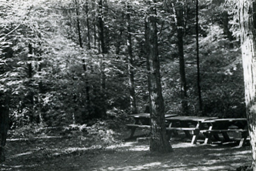
PIC 2-D 82-5:
Rock Creek Trail. Nevada County Fair. Picnic tables under trees. 1973, 1 man, crowd of children.
Rock Creek Trail. Nevada County Fair. Picnic tables under trees. 1973, 1 man, crowd of children.
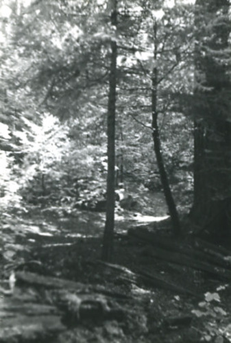
PIC 2-D 82-6:
Rock Creek Trail. Path, vegetation.
Rock Creek Trail. Path, vegetation.
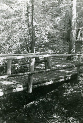
PIC 2-D 82-7:
Rock Creek Trail. Log and plank footbridge.
Rock Creek Trail. Log and plank footbridge.
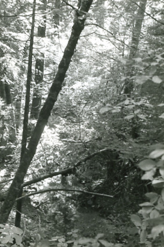
PIC 2-D 82-8:
Rock Creek Trail. Vegetation.
Rock Creek Trail. Vegetation.
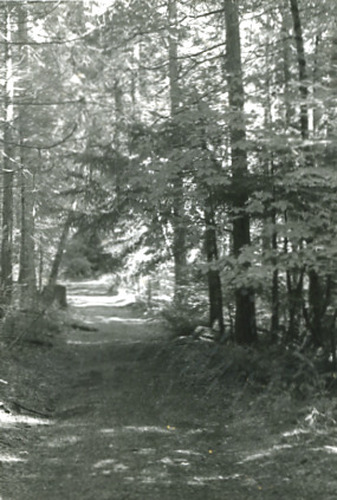
PIC 2-D 82-9:
Rock Creek Trail. Path through trees.
Rock Creek Trail. Path through trees.
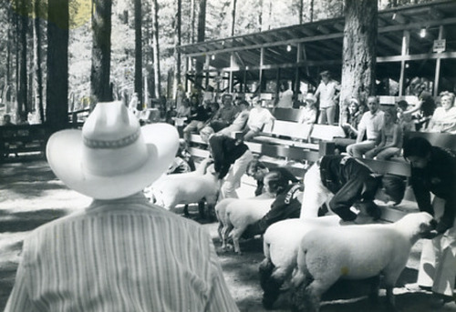
PIC 2-D 83-1:
Nevada County Fair. FFA sheep judging, 1973.
Nevada County Fair. FFA sheep judging, 1973.
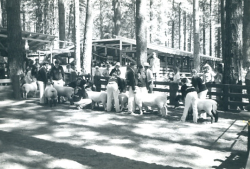
PIC 2-D 83-2:
Nevada County Fair. FFA showing sheep, 1973.
Nevada County Fair. FFA showing sheep, 1973.
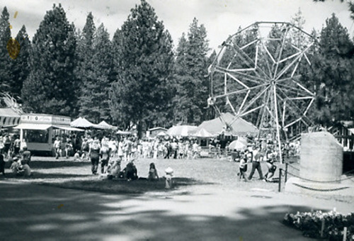
PIC 2-D 83-3:
Nevada County Fair. Carnival rides etc., 1973.
Nevada County Fair. Carnival rides etc., 1973.
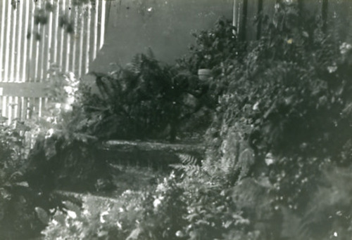
PIC 2-D 83-4:
[No description of available].
[No description of available].
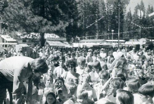
PIC 2-D 83-5:
[No description of available].
[No description of available].
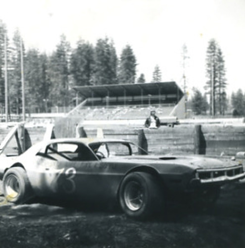
PIC 2-D 83-6:
Nevada County Fairgrounds. Stadium, racetrack, car. Racecar # 73.
Nevada County Fairgrounds. Stadium, racetrack, car. Racecar # 73.
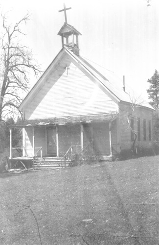
PIC 2-D 84-1:
St. Columcille Church. Birchville.
St. Columcille Church. Birchville.
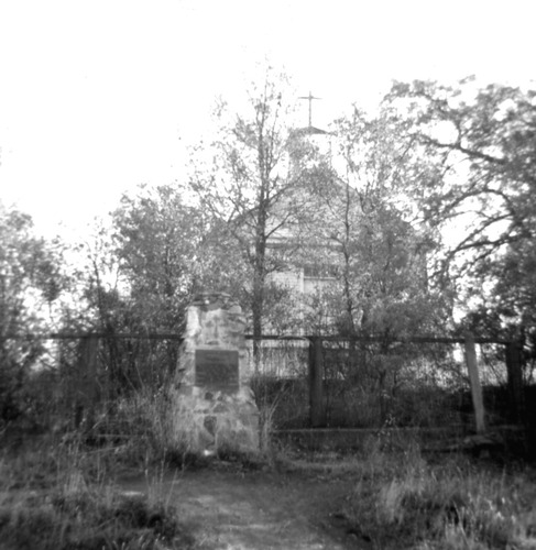
PIC 2-D 84-2:
St. Columcille Church. November, 1969, Historic Marker.
St. Columcille Church. November, 1969, Historic Marker.

PIC 2-D 84-3:
St. Columcille Church. Historic Marker visible.
St. Columcille Church. Historic Marker visible.
PIC 2-D 84-4:
St. Columcille Church. Historic Marker visible.
St. Columcille Church. Historic Marker visible.
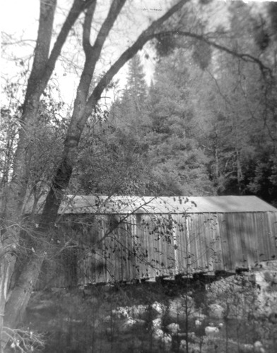
PIC 2-D 86-1:
Oregon Creek Covered Bridge. Side view.
Oregon Creek Covered Bridge. Side view.
PIC 2-D 86-2:
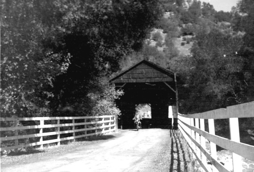
Oregon Creek Covered Bridge. One end with motorcyclist.
Oregon Creek Covered Bridge. One end with motorcyclist.
PIC 2-D 86-3:
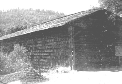
Oregon Creek Covered Bridge. End with weight/speed sign visible.
Oregon Creek Covered Bridge. End with weight/speed sign visible.
PIC 2-D 86-4:
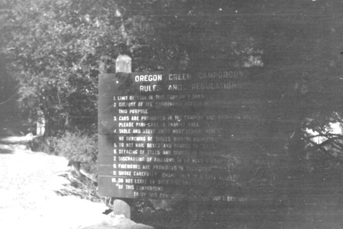
Oregon Creek Campground. Rules/regulations sign.
Oregon Creek Campground. Rules/regulations sign.

PIC 2-D 86-5:
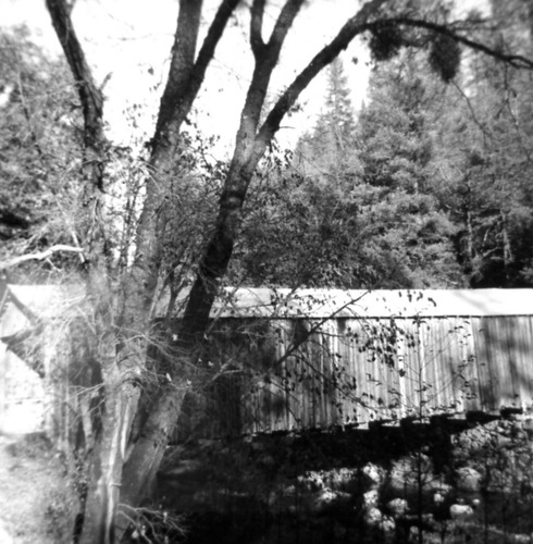
Oregon Creek Covered Bridge. End with weight/speed sign visible.
Oregon Creek Covered Bridge. End with weight/speed sign visible.
PIC 2-D 86-6:
Oregon Creek Covered Bridge. Side view, dated 11-1969.
Oregon Creek Covered Bridge. Side view, dated 11-1969.
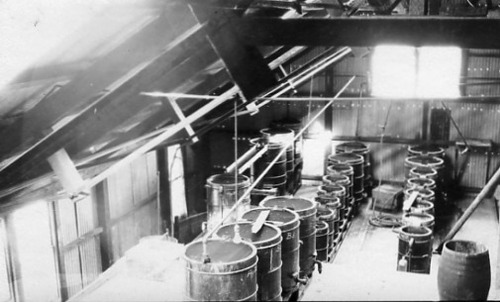
PIC 2-D 90:
Mill, unnamed. Interior, series of tanks, steel bldg.
Mill, unnamed. Interior, series of tanks, steel bldg.
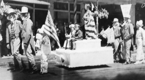
PIC 2-D 91-1:
July 4, 1917(?). 1913? Float, pulled by men dressed as Uncle Sam.
July 4, 1917(?). 1913? Float, pulled by men dressed as Uncle Sam.
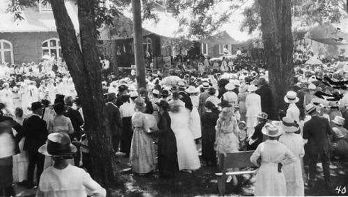
PIC 2-D 91-2:
July 4, 1917. Crowd,brick bldg,sign "Wilson's War Message, 1917.
July 4, 1917. Crowd,brick bldg,sign "Wilson's War Message, 1917.
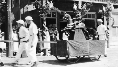
PIC 2-D 93-3:
July 4, 1917. Same as PIC 1-B 123-10.
July 4, 1917. Same as PIC 1-B 123-10.
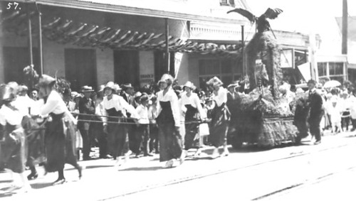
PIC 2-D 93-4:
July 4, 1917. Brock's Groceries. Women pulling float, uncle sam, eagle etc. July 4, 1917 parade float in front of.
July 4, 1917. Brock's Groceries. Women pulling float, uncle sam, eagle etc. July 4, 1917 parade float in front of.
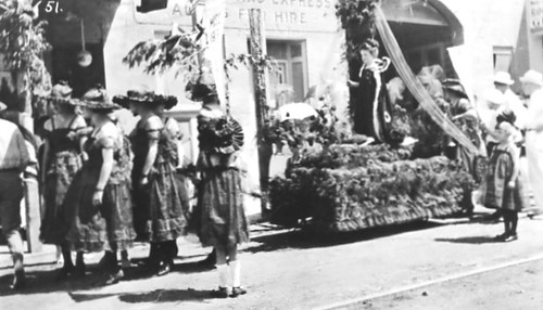
PIC 2-D 93-5:
July 4, 1917. Same as PIC 1-B 123-6.
July 4, 1917. Same as PIC 1-B 123-6.

PIC 2-D 93-6:
July 4, 1917. Float, child, sheep,boys pulling.
July 4, 1917. Float, child, sheep,boys pulling.
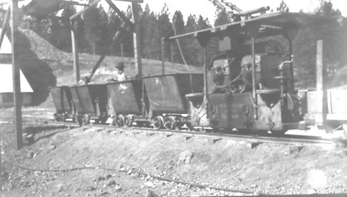
PIC 2-D 95:
North Star Mine. Electric ore car train.
North Star Mine. Electric ore car train.
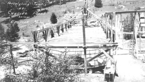
PIC 2-D 96:
Empire Mine, cyanide plant. Cyanide Plant percolating tanks. Empire Mine percolating tanks.
Empire Mine, cyanide plant. Cyanide Plant percolating tanks. Empire Mine percolating tanks.
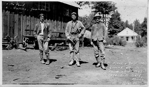
PIC 2-D 97:
Sultana Mine. Prescott Hill Mine. Pond, Mr.. Collins, ---. 3 men, bldgs, 1906. One of 3 men Prescott & Sultana Mine, 1906.
Sultana Mine. Prescott Hill Mine. Pond, Mr.. Collins, ---. 3 men, bldgs, 1906. One of 3 men Prescott & Sultana Mine, 1906.
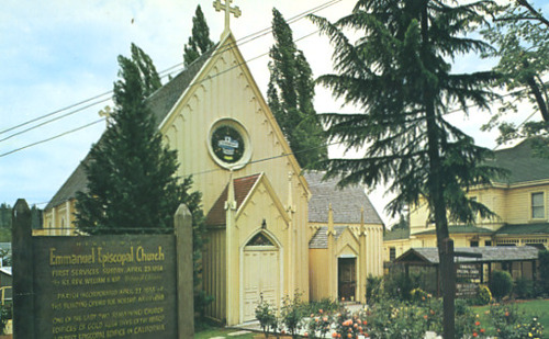
PIC 2-D 98:
Emmanuel Episcopal Church. Colored post card, shows sign.
Emmanuel Episcopal Church. Colored post card, shows sign.
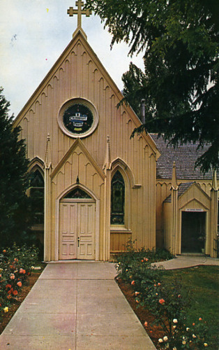
PIC 2-D 99:
Emmanuel Episcopal Church. Colored post card, straight on view of doors.
Emmanuel Episcopal Church. Colored post card, straight on view of doors.
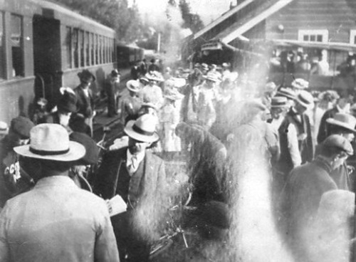
PIC 2-D 100:
Bicycle Club. NCNGRR?. S.P.R.R.?. California Cycle Club, 1907, train, station, crowd.
Bicycle Club. NCNGRR?. S.P.R.R.?. California Cycle Club, 1907, train, station, crowd.
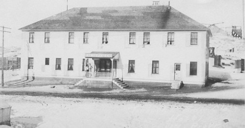
PIC 2-D 101:
Celtic Hotel. B/w post card, no location shown.
Celtic Hotel. B/w post card, no location shown.
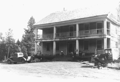
PIC 2-D 102:
Plum Valley House. Ca. 1945, bldg. Vehicles,.
Plum Valley House. Ca. 1945, bldg. Vehicles,.
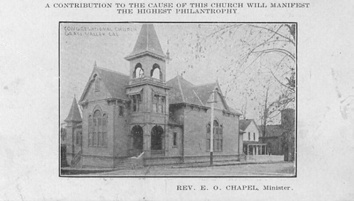
PIC 2-D 103:
Congregational Church, G.V.. Rev. E.O. Chapel, Minister.
Congregational Church, G.V.. Rev. E.O. Chapel, Minister.
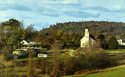
PIC 2-D 104:
Smartsville. Yuba County. Church, see Smartville. Color postcard, church, bldgs, RV's. Color postcard, church, bldgs, RV's, Smartville.
Smartsville. Yuba County. Church, see Smartville. Color postcard, church, bldgs, RV's. Color postcard, church, bldgs, RV's, Smartville.
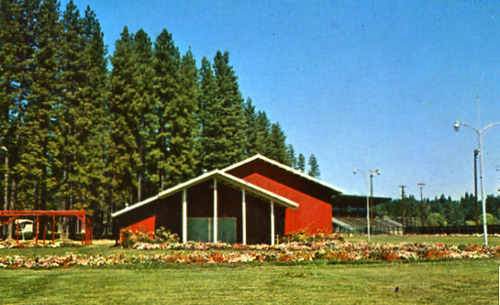
PIC 2-D 105:
Nevada County Fairgrounds. Color postcard, bldg., race track, grandstand.
Nevada County Fairgrounds. Color postcard, bldg., race track, grandstand.
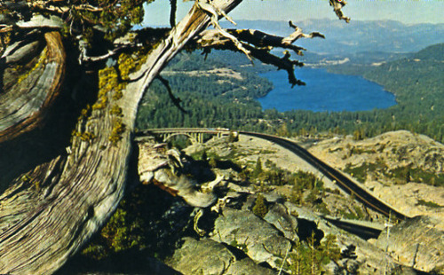
PIC 2-D 106:
Donner Lake. Highway 40. Rainbow Bridge. Color postcard, from above Hwy 40, rainbow bridge. Color, Donner Lake, Rainbow bridge from above.
Donner Lake. Highway 40. Rainbow Bridge. Color postcard, from above Hwy 40, rainbow bridge. Color, Donner Lake, Rainbow bridge from above.
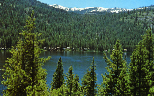
PIC 2-D 107:
Donner Lake. Water, trees, distant bldgs, snow caps.
Donner Lake. Water, trees, distant bldgs, snow caps.
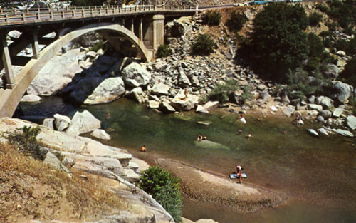
PIC 2-D 108:
Yuba River, South. Bridge, South Yuba River. Hwy. 49 bridge, swimmers ca. 1960's. Hwy. 49 bridge ca. 1960's.
Yuba River, South. Bridge, South Yuba River. Hwy. 49 bridge, swimmers ca. 1960's. Hwy. 49 bridge ca. 1960's.
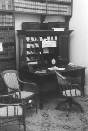
PIC 2-D 109:
Searls Library. Front room, Searls desk, pattern carpet, old chair.
Searls Library. Front room, Searls desk, pattern carpet, old chair.
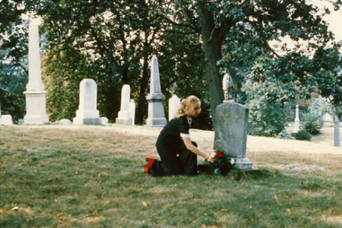
PIC 2-D 110:
Montez, Lola. Color, girl at grave in New York.
Montez, Lola. Color, girl at grave in New York.
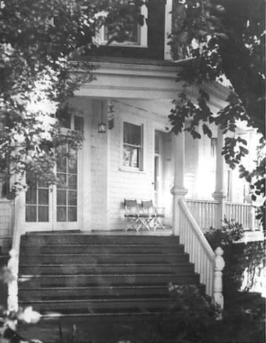
PIC 2-D 111:
Jones, W. C., home. Auburn St., South, 125. 125 S. Auburn, b/w, front porch. 125 S. Auburn, Dr. W. C. Jones home.
Jones, W. C., home. Auburn St., South, 125. 125 S. Auburn, b/w, front porch. 125 S. Auburn, Dr. W. C. Jones home.
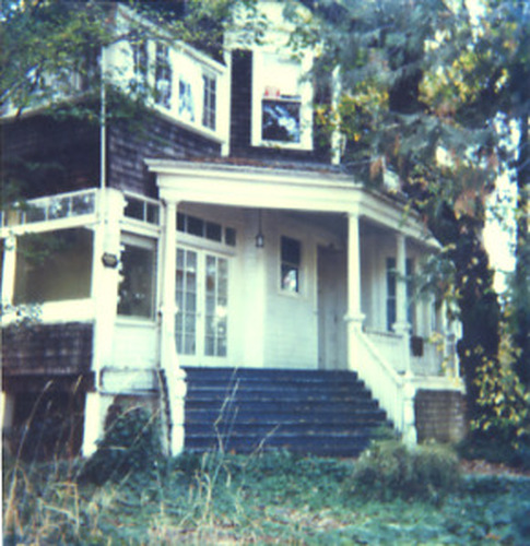
PIC 2-D 112:
Jones, W. C., home. Auburn St., South, 125. 125 S. Auburn, polaroid, colored, front porch. 125 S. Auburn, Dr. W. C. Jones home, color.
Jones, W. C., home. Auburn St., South, 125. 125 S. Auburn, polaroid, colored, front porch. 125 S. Auburn, Dr. W. C. Jones home, color.
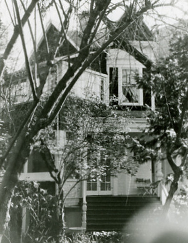
PIC 2-D 113-1:
Jones, W. C., home. Auburn St., South, 125. B/w, front porch, 2nd floor visible. 125 S. Auburn, Dr. W. C. Jones... See More
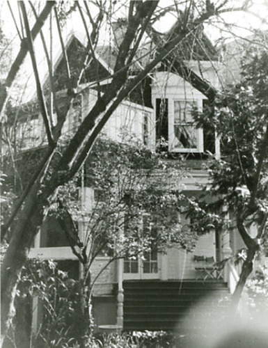
PIC 2-D 113-2:
Jones, W. C., home. Auburn St., South, 125. Similar to 113-2, different angle. 125 S. Auburn, Dr. W. C. Jones... See More
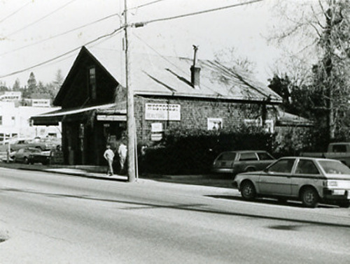
PIC 2-D 114:
Jones, W. C. carriage house. Shingled bldg, "Westcoast Realtors".
Jones, W. C. carriage house. Shingled bldg, "Westcoast Realtors".
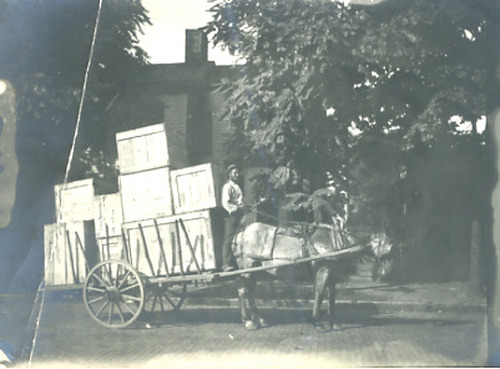
PIC 2-D 115:
Wagon, cart. Blackman. Horse, colored driver, large boxes, no location. Colored driver, cart, large boxes, horse.
Wagon, cart. Blackman. Horse, colored driver, large boxes, no location. Colored driver, cart, large boxes, horse.
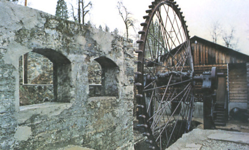
PIC 2-D 116:
North Star Powerhouse. Colored postcard, 1973, big pelton wheel, no roof.
North Star Powerhouse. Colored postcard, 1973, big pelton wheel, no roof.
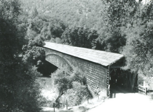
PIC 2-D 117:
Bridgeport Covered Bridge. 1961, b/w, side, entrance.
Bridgeport Covered Bridge. 1961, b/w, side, entrance.
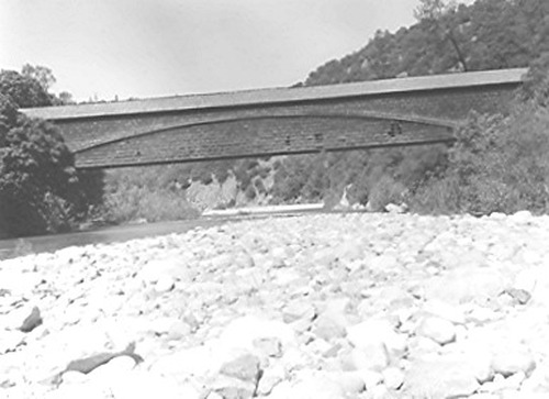
PIC 2-D 118:
Bridgeport Covered Bridge. 1961, sideview from up-stream.
Bridgeport Covered Bridge. 1961, sideview from up-stream.
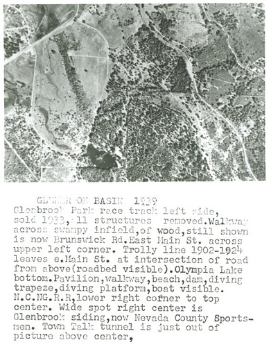
PIC 2-D 119:
Glenbrook Basin. Glenbrook Race Track. Brunswick Road. Main St., East, G.V.. Trolley Line. Lake Olympia. NCNGRR,... See More
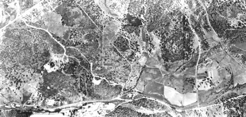
PIC 2-D 120-1:
[No description of available].
[No description of available].
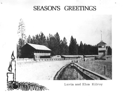
PIC 2-D 120-A:
NCNGRR. Idaho Maryland Mine. Loma Rica Ranch Glenbrook Race Track. Aerial picture, Idaho-Maryland Rd., bridge etc.'39. Aerial picture, 1939. Kilroy card, same as PIC 3-G1.
NCNGRR. Idaho Maryland Mine. Loma Rica Ranch Glenbrook Race Track. Aerial picture, Idaho-Maryland Rd., bridge etc.'39. Aerial picture, 1939. Kilroy card, same as PIC 3-G1.
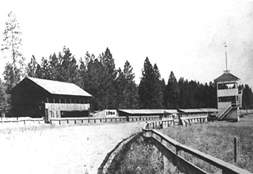
PIC 2-D 120-B:
NCNGRR. Idaho Maryland Mine. Loma Rica Ranch Glenbrook Race Track. Kilroy Christmas Card. Aerial picture, Idaho-Maryland Rd., bridge etc.'39. Aerial picture, 1939. Photo only of 120-A. Glenbrook racetrack.
NCNGRR. Idaho Maryland Mine. Loma Rica Ranch Glenbrook Race Track. Kilroy Christmas Card. Aerial picture, Idaho-Maryland Rd., bridge etc.'39. Aerial picture, 1939. Photo only of 120-A. Glenbrook racetrack.
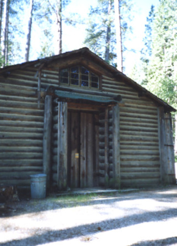
PIC 2-D 121:
Camp Augusta. Lodge doorway, built 1930, photo 1991.
Camp Augusta. Lodge doorway, built 1930, photo 1991.
PIC 2-D 122:
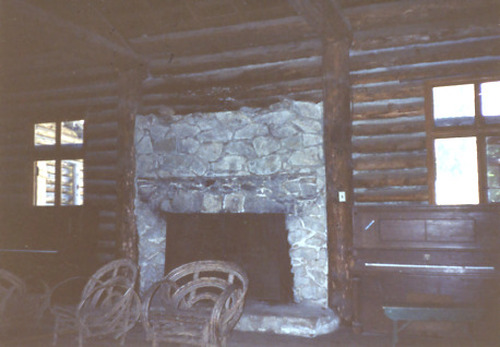
Camp Augusta. Lodge fireplace, built 1930, photo 1991.
Camp Augusta. Lodge fireplace, built 1930, photo 1991.
PIC 2-D 123:
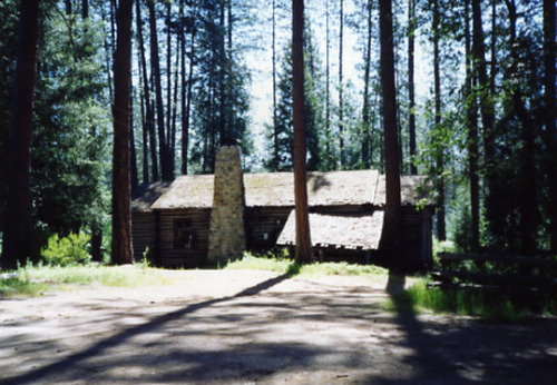
Camp Augusta. Lodge, outside, chimney, bldg, photo 1991.
Camp Augusta. Lodge, outside, chimney, bldg, photo 1991.
PIC 2-D 124:
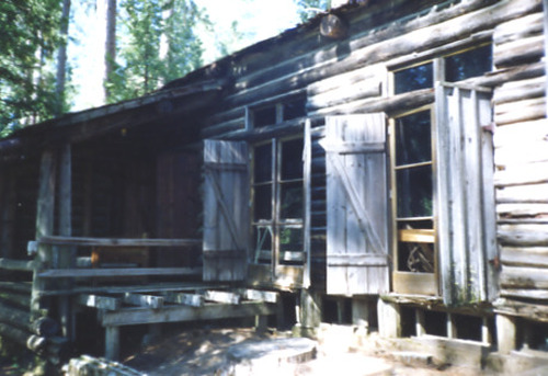
Camp Augusta. Lodge, windows, shutters, 1991.
Camp Augusta. Lodge, windows, shutters, 1991.
PIC 2-D 125:
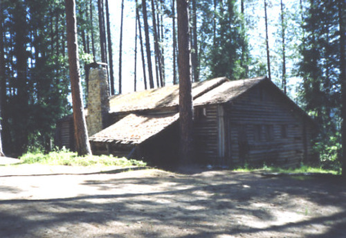
Camp Augusta. Lodge, outside, 2 walls of bldg. 1991.
Camp Augusta. Lodge, outside, 2 walls of bldg. 1991.
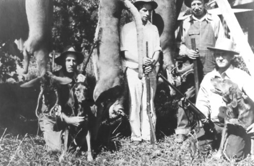
PIC 2-D 126:
Hunters. Williams, Frank. Williams, Buck. Tobiassen, Carl. 4 men 2 deer, mountain lion, 2 dogs, rifles.
Hunters. Williams, Frank. Williams, Buck. Tobiassen, Carl. 4 men 2 deer, mountain lion, 2 dogs, rifles.
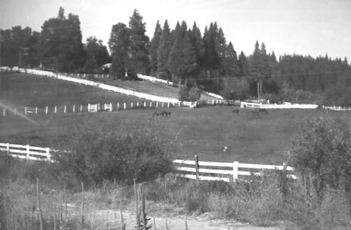
PIC 2-D 127:
Loma Rica Ranch. No date, pasture, fences, horses, distant bldgs.
Loma Rica Ranch. No date, pasture, fences, horses, distant bldgs.
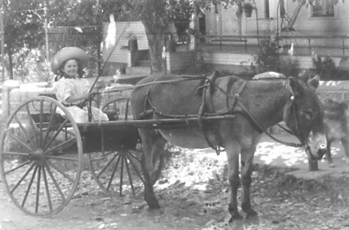
PIC 2-D 128:
wagon, cart. 2 wheel cart, donkey, small girl driving.
wagon, cart. 2 wheel cart, donkey, small girl driving.
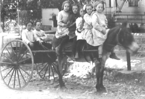
PIC 2-D 129:
wagon, cart. Same as 128 w/5 girls on donkey, 3 boys in cart.
wagon, cart. Same as 128 w/5 girls on donkey, 3 boys in cart.
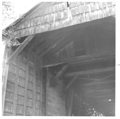
PIC 2-D 130-1:
Bridgeport Covered Bridge. Color, entrance before restoration.
Bridgeport Covered Bridge. Color, entrance before restoration.
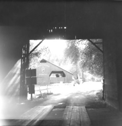
PIC 2-D 130-2:
Bridgeport Covered Bridge. B/w, 1969, looking out barn says Ponderosa Ranch.
Bridgeport Covered Bridge. B/w, 1969, looking out barn says Ponderosa Ranch.
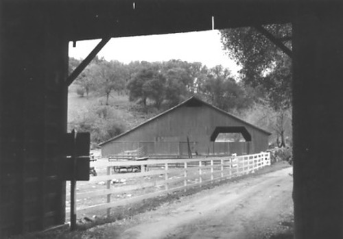
PIC 2-D 130-3:
Bridgeport Covered Bridge. Like 130-2, no sign on barn, b/w.
Bridgeport Covered Bridge. Like 130-2, no sign on barn, b/w.
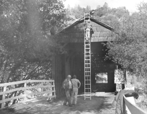
PIC 2-D 130-4:
Bridgeport Covered Bridge. Men working on entrance, b/w.
Bridgeport Covered Bridge. Men working on entrance, b/w.
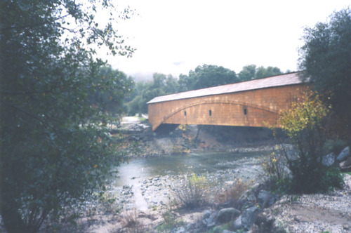
PIC 2-D 130-5:
Bridgeport Covered Bridge. Color, downstream side, shows patches.
Bridgeport Covered Bridge. Color, downstream side, shows patches.
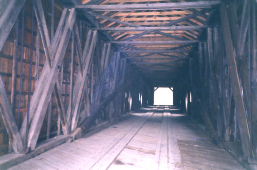
PIC 2-D 130-6:
Bridgeport Covered Bridge. Color, interior structure.
Bridgeport Covered Bridge. Color, interior structure.
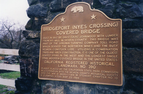
PIC 2-D 130-7:
Bridgeport Covered Bridge. Plaque, state landmark #390.
Bridgeport Covered Bridge. Plaque, state landmark #390.

PIC 2-D 130-8:
Bridgeport Covered Bridge. Exteior & approach, upstream side.
Bridgeport Covered Bridge. Exteior & approach, upstream side.
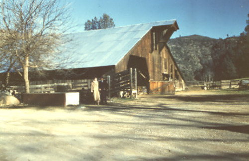
PIC 2-D 130-9:
Bridgeport Covered Bridge. Barn at bridge, 2 people.
Bridgeport Covered Bridge. Barn at bridge, 2 people.
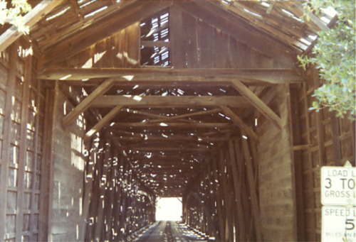
PIC 2-D 130-10:
Bridgeport Covered Bridge. 1970, interior, shows missing shingles.
Bridgeport Covered Bridge. 1970, interior, shows missing shingles.
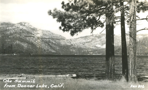
PIC 2-D 131:
Donner Lake. S.P.R.R.. "The Summit" behind the lake. Showshed visible above Donner Lake.
Donner Lake. S.P.R.R.. "The Summit" behind the lake. Showshed visible above Donner Lake.
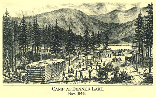
PIC 2-D 132:
Donner Lake. Donner Party. Postcard, T&W sketch Camp at Donner Lake.
Donner Lake. Donner Party. Postcard, T&W sketch Camp at Donner Lake.
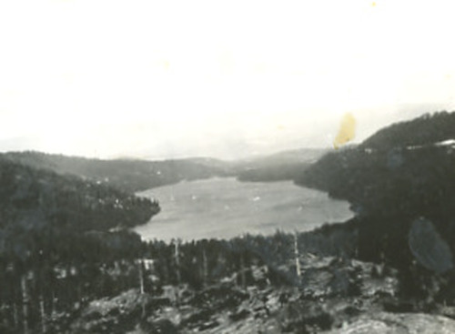
PIC 2-D 133-1:
Donner Lake. B/w lake seen from summit.
Donner Lake. B/w lake seen from summit.
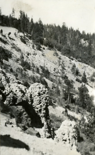
PIC 2-D 133-2:
Donner Summit. View of rocks, incline.
Donner Summit. View of rocks, incline.
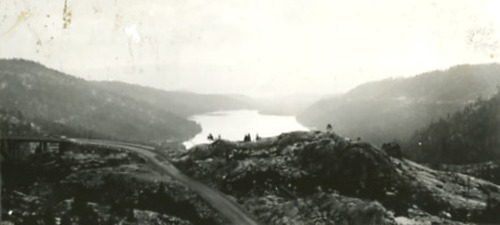
PIC 2-D 133-3:
Donner Lake. Rainbow Bridge. Highway 40. B/w from summit, Rainbow Bridge, Hwy. 40, lake.
Donner Lake. Rainbow Bridge. Highway 40. B/w from summit, Rainbow Bridge, Hwy. 40, lake.
PIC 2-D 133-BACK:
[No associated photo or description available].
[No associated photo or description available].
PIC 2-D 134:
Bell, Fred. B/w on porch.
Bell, Fred. B/w on porch.
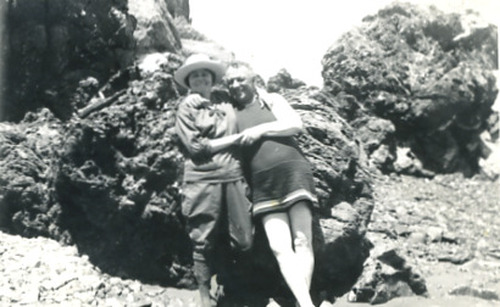
PIC 2-D 135:
Bell, Olvida Thurston & Fred. Swim suit, hiking clothes, big rocks.
Bell, Olvida Thurston & Fred. Swim suit, hiking clothes, big rocks.
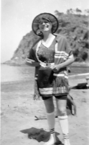
PIC 2-D 136:
Bell, Olvida Thurston. Swim suit, Catalina Island.
Bell, Olvida Thurston. Swim suit, Catalina Island.
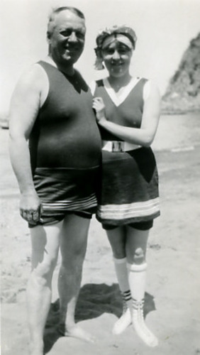
PIC 2-D 137:
Bell, Olvida Thurston & husband. Swim suit, Catalina Island.
Bell, Olvida Thurston & husband. Swim suit, Catalina Island.
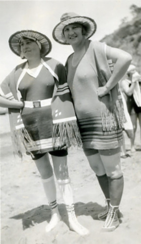
PIC 2-D 138:
Bell, Olvida Thurston & woman. Swim suits, Catalina Island.
Bell, Olvida Thurston & woman. Swim suits, Catalina Island.
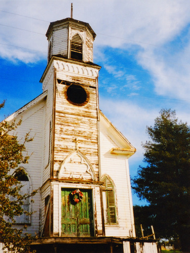
PIC 2-D 139:
Smartsville Church. Bldg. in poor condition, wreath on doors.
Smartsville Church. Bldg. in poor condition, wreath on doors.


