Enter a name, company, place or keywords to search across this item. Then click "Search" (or hit Enter).
Zoom Out
Zoom In (Please allow time for high-res images to load)
Zoom: 100%
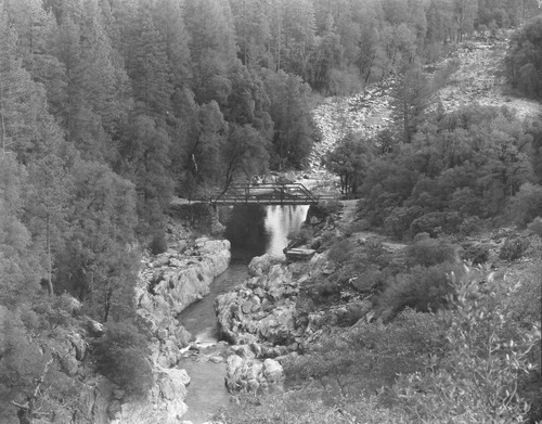
PIC 6-MAY 1:
Maybert Bridge (Historic). 2013, North side, Canyon Creek in foreground.
Maybert Bridge (Historic). 2013, North side, Canyon Creek in foreground.
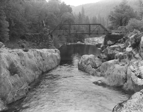
PIC 6-MAY 2:
Maybert Bridge (Historic). 2013, North side, Washington water reservoir below.
Maybert Bridge (Historic). 2013, North side, Washington water reservoir below.
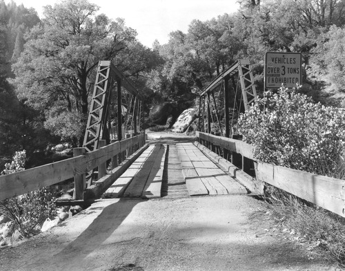
PIC 6-MAY 3:
Maybert Bridge (Historic). 2013, East approach to bridge; view to west.
Maybert Bridge (Historic). 2013, East approach to bridge; view to west.
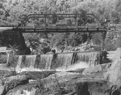
PIC 6-MAY 4:
Maybert Bridge (Historic). 2013, S/side; Washington dam in foreground.
Maybert Bridge (Historic). 2013, S/side; Washington dam in foreground.
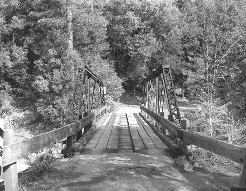
PIC 6-MAY 5:
Maybert Bridge (Historic). 2013, west approach, view to east.
Maybert Bridge (Historic). 2013, west approach, view to east.
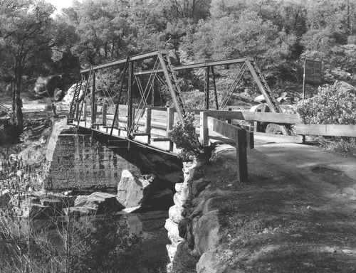
PIC 6-MAY 6:
Maybert Bridge (Historic). 2013, east approach; view to northwest.
Maybert Bridge (Historic). 2013, east approach; view to northwest.
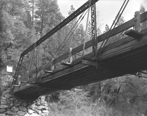
PIC 6-MAY 7:
Maybert Bridge (Historic). 2013, north side, view to southeast.
Maybert Bridge (Historic). 2013, north side, view to southeast.
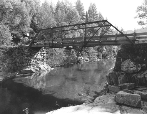
PIC 6-MAY 8:
Maybert Bridge (Historic). 2013, Bridge deck from below; view to southeast.
Maybert Bridge (Historic). 2013, Bridge deck from below; view to southeast.
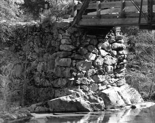
PIC 6-MAY 9:
Maybert Bridge (Historic). 2013, East abutment; view to southeast.
Maybert Bridge (Historic). 2013, East abutment; view to southeast.
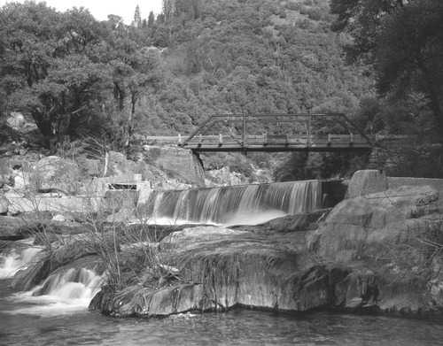
PIC 6-MAY 10:
Maybert Bridge (Historic). 2013, s/side of bridge; west abutment; view to nor.
Maybert Bridge (Historic). 2013, s/side of bridge; west abutment; view to nor.
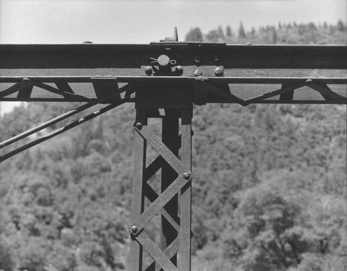
PIC 6-MAY 11:
Maybert Bridge (Historic). 2013, top chord, vertical & diagonal detail.
Maybert Bridge (Historic). 2013, top chord, vertical & diagonal detail.
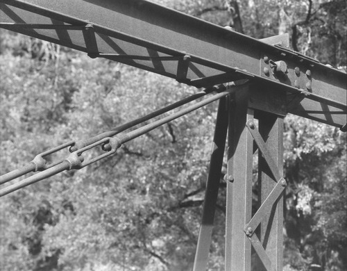
PIC 6-MAY 12:
Maybert Bridge (Historic). 2013, top chord, vertical & diagonal detail.
Maybert Bridge (Historic). 2013, top chord, vertical & diagonal detail.
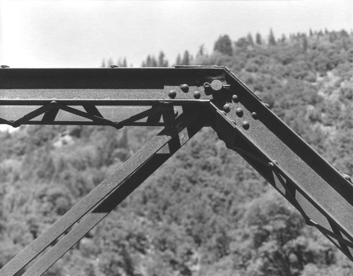
PIC 6-MAY 13:
Maybert Bridge (Historic). 2013, top chord, end post & diagonal connection.
Maybert Bridge (Historic). 2013, top chord, end post & diagonal connection.
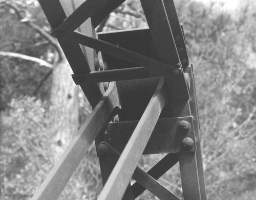
PIC 6-MAY 14:
Maybert Bridge (Historic). 2013, top chord, end post & diagonal detail.
Maybert Bridge (Historic). 2013, top chord, end post & diagonal detail.
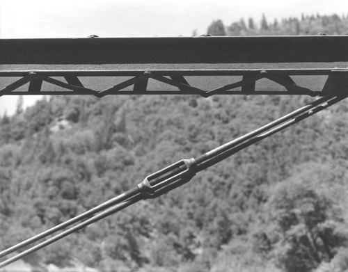
PIC 6-MAY 15:
Maybert Bridge (Historic). 2013, top chord w/diagonal & turnbuckle detail.
Maybert Bridge (Historic). 2013, top chord w/diagonal & turnbuckle detail.
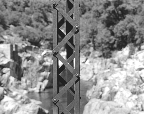
PIC 6-MAY 16:
Maybert Bridge (Historic). 2013, vertical detail; view to north.
Maybert Bridge (Historic). 2013, vertical detail; view to north.


