Enter a name, company, place or keywords to search across this item. Then click "Search" (or hit Enter).
Zoom Out
Zoom In (Please allow time for high-res images to load)
Zoom: 100%
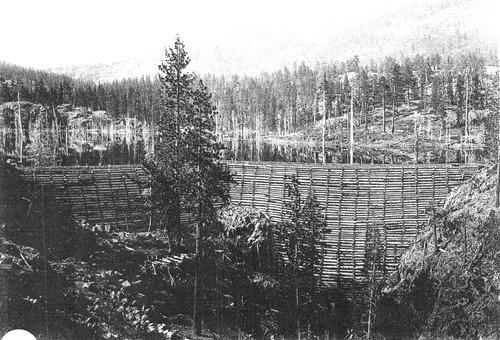
PIC 6-WAT 1:
Rudyard Dam. Close view of log dam.
Rudyard Dam. Close view of log dam.
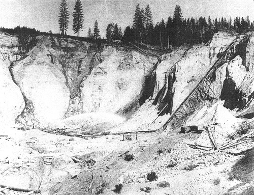
PIC 6-WAT 2:
Hydraulic Mine. Unidentified mine.
Hydraulic Mine. Unidentified mine.
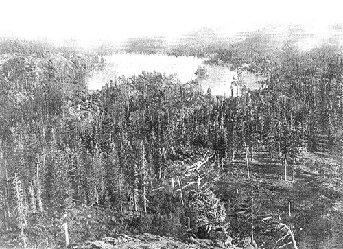
PIC 6-WAT 3:
Rudyard Reservoir. Distant view.
Rudyard Reservoir. Distant view.
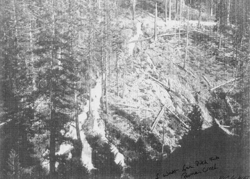
PIC 6-WAT 4:
Poorman Creek /Ditch. Fall of water from ditch into Poorman Creek.
Poorman Creek /Ditch. Fall of water from ditch into Poorman Creek.
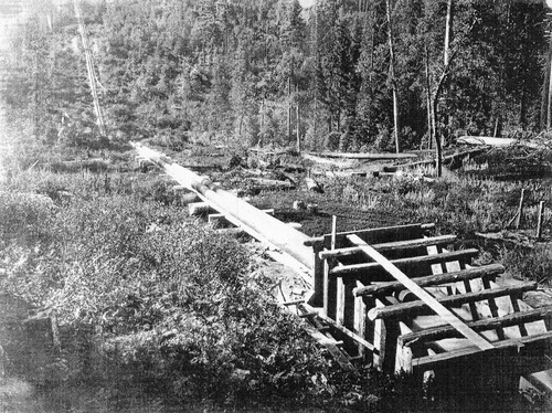
PIC 6-WAT 5:
Humbug Canyon. Aqueduct pipes crossing canyon.
Humbug Canyon. Aqueduct pipes crossing canyon.
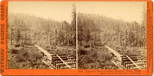
PIC 6-WAT 5-B:
Pipes Crossing Humbug Canyon. Stereo pic, gift of C. Ward.
Pipes Crossing Humbug Canyon. Stereo pic, gift of C. Ward.
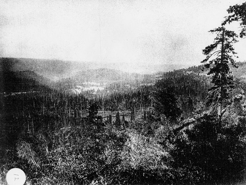
PIC 6-WAT 6:
Humbug & Virgin Valleys. Looking southeast.
Humbug & Virgin Valleys. Looking southeast.
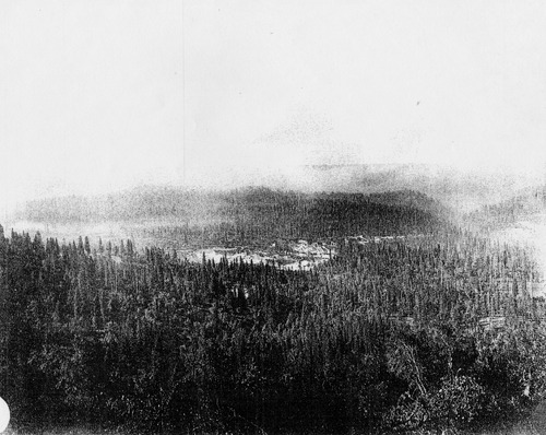
PIC 6-WAT 7:
Humbug & Virgin Valleys. Looking south.
Humbug & Virgin Valleys. Looking south.
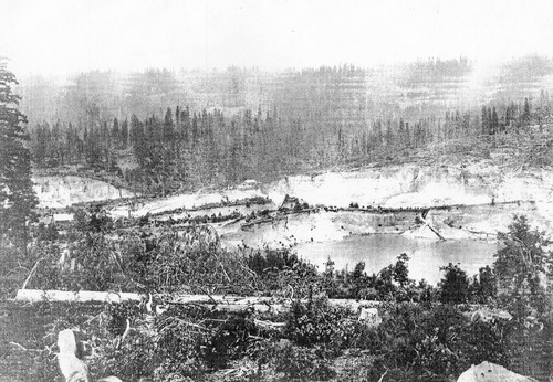
PIC 6-WAT 8:
Malakoff Diggins. From Colorado Hill.
Malakoff Diggins. From Colorado Hill.
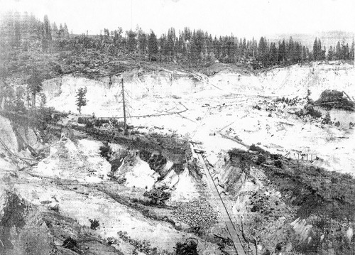
PIC 6-WAT 9:
Malakoff Diggins. Looking Northeast.
Malakoff Diggins. Looking Northeast.
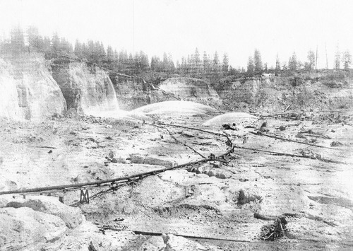
PIC 6-WAT 10:
Malakoff Diggins. Looking east, 6 monitors, piping etc.
Malakoff Diggins. Looking east, 6 monitors, piping etc.
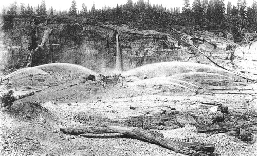
PIC 6-WAT 11:
Malakoff Diggins. 6 monitors, cascade, piping.
Malakoff Diggins. 6 monitors, cascade, piping.
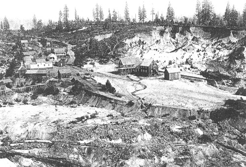
PIC 6-WAT 12:
Malakoff Mine. Many buildings, offices, workshops.
Malakoff Mine. Many buildings, offices, workshops.
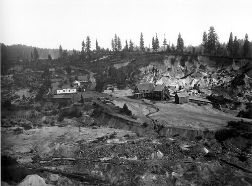
PIC 6-WAT 12B:
Malakoff Mine. Hi-resolution copy of 12 from N.Y.City Library.
Malakoff Mine. Hi-resolution copy of 12 from N.Y.City Library.
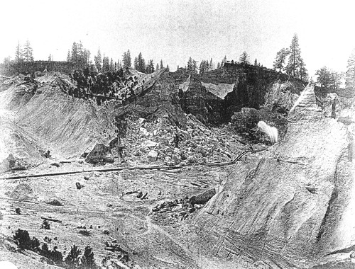
PIC 6-WAT 13:
Union Diggins. Near Columbia Hill, 3 monitors, eroded hills.
Union Diggins. Near Columbia Hill, 3 monitors, eroded hills.
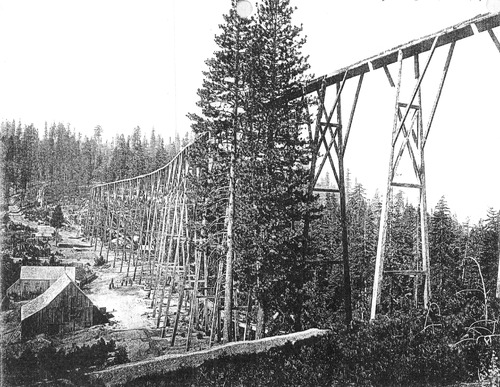
PIC 6-WAT 14:
Magenta Flume. Tall flume, buildings etc.
Magenta Flume. Tall flume, buildings etc.
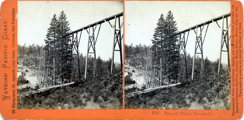
PIC 6-WAT 14-B:
Magenta Flume. Stereo pic gift of C. Ward.
Magenta Flume. Stereo pic gift of C. Ward.
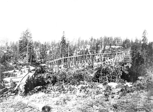
PIC 6-WAT 15:
National Flume. Good view of flume with curves.
National Flume. Good view of flume with curves.
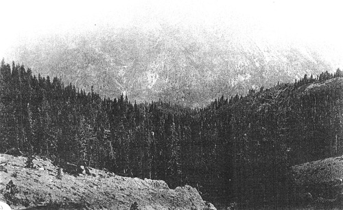
PIC 6-WAT 16:
Downieville Buttes. Distant view.
Downieville Buttes. Distant view.
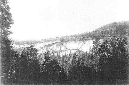
PIC 6-WAT 17:
Relief Hill. General view, hydraulic erosion.
Relief Hill. General view, hydraulic erosion.
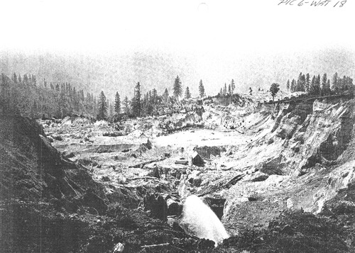
PIC 6-WAT 18:
Eagle Diggins. 1 monitor, building, eroded hillside.
Eagle Diggins. 1 monitor, building, eroded hillside.
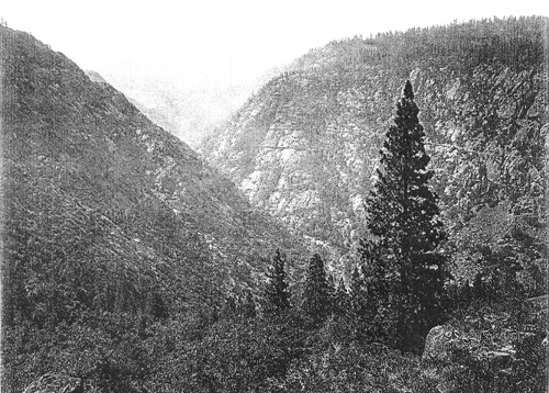
PIC 6-WAT 19:
Yuba Canyon, South. View of w/ flumes on hillside.
Yuba Canyon, South. View of w/ flumes on hillside.
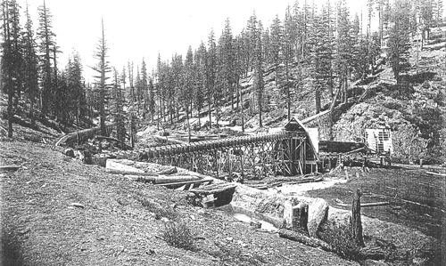
PIC 6-WAT 20:
Blue Tent Saw Mill. Buildings, aqueduct.
Blue Tent Saw Mill. Buildings, aqueduct.
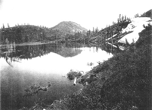
PIC 6-WAT 21:
Cars' and Feely Lake. Feely Lake (Feeley?). Lake, mountains, snow. view of lake.
Cars' and Feely Lake. Feely Lake (Feeley?). Lake, mountains, snow. view of lake.
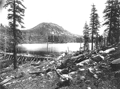
PIC 6-WAT 22:
Carrs and Feely Lake. Lake, mountains, rocks, small dam.
Carrs and Feely Lake. Lake, mountains, rocks, small dam.
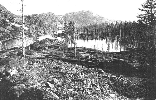
PIC 6-WAT 23:
Courtney Lakes. View water, rocks, mountains.
Courtney Lakes. View water, rocks, mountains.
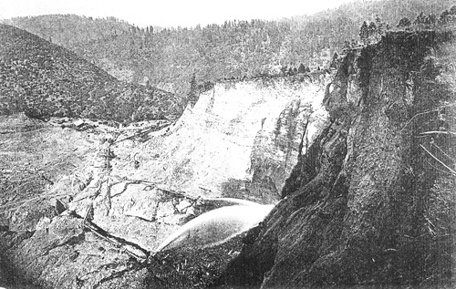
PIC 6-WAT 24:
Blue Tent Hydraulic Mine. View from above, 2 monitors, different angle.
Blue Tent Hydraulic Mine. View from above, 2 monitors, different angle.
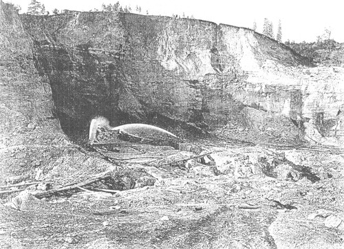
PIC 6-WAT 25:
Blue Tent Hydraulic Mine. View from above, 2 monitors.
Blue Tent Hydraulic Mine. View from above, 2 monitors.
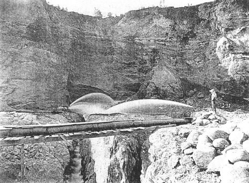
PIC 6-WAT 26:
Blue Tent Hydraulic Mine. Man, 2 monitors, piping.
Blue Tent Hydraulic Mine. Man, 2 monitors, piping.
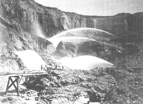
PIC 6-WAT 27:
Malakoff Diggings. General View, 4 monitors, several men.
Malakoff Diggings. General View, 4 monitors, several men.
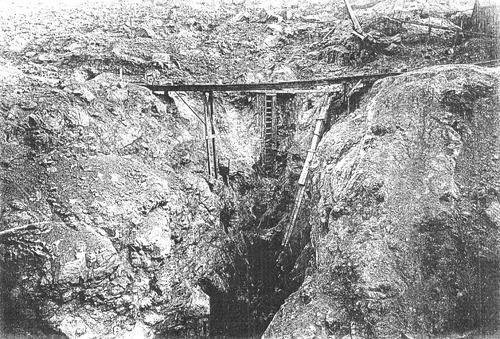
PIC 6-WAT 28:
Malakoff Diggings. Entrance to tunnel.
Malakoff Diggings. Entrance to tunnel.
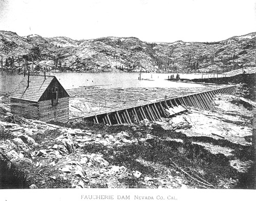
PIC 6-WAT 29:
Faucherie Dam. Face of dam looking toward water.
Faucherie Dam. Face of dam looking toward water.
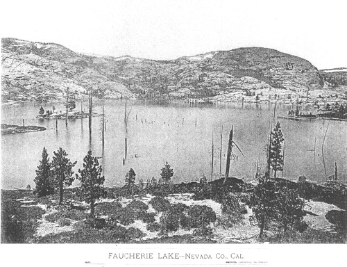
PIC 6-WAT 30:
Faucherie Lake. View across water.
Faucherie Lake. View across water.
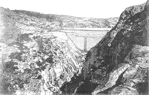
PIC 6-WAT 31:
French Dam. View up canyon toward face.
French Dam. View up canyon toward face.
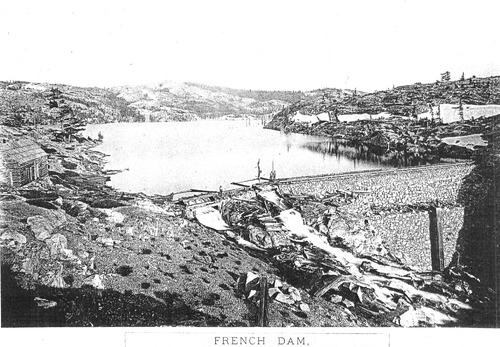
PIC 6-WAT 32:
French Dam. From stone face toward water.
French Dam. From stone face toward water.
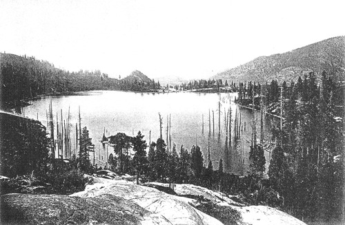
PIC 6-WAT 33:
Weaver Lake. View from above.
Weaver Lake. View from above.
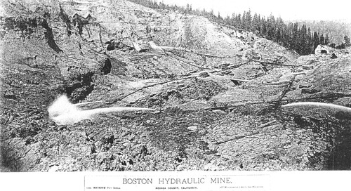
PIC 6-WAT 34:
Boston Hydraulic Mine. 3 monitors from above.
Boston Hydraulic Mine. 3 monitors from above.
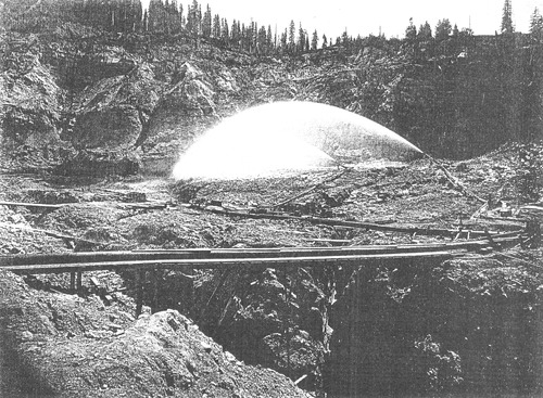
PIC 6-WAT 35:
Boston Hydraulic Mine. Piping, 2 monitors.
Boston Hydraulic Mine. Piping, 2 monitors.
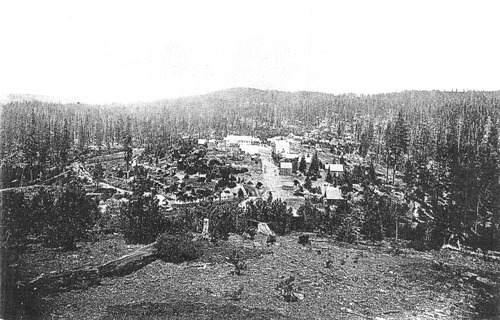
PIC 6-WAT 36:
Eureka. See PIC 4-REL 2 view of town from above.
Eureka. See PIC 4-REL 2 view of town from above.
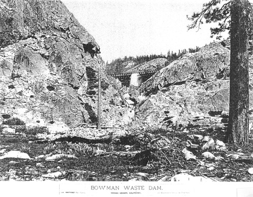
PIC 6-WAT 37:
Bowman Waste Dam. See PIC 1-B 171.
Bowman Waste Dam. See PIC 1-B 171.
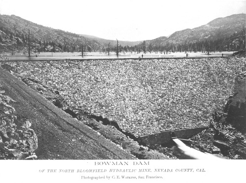
PIC 6-WAT 38:
Bowman Dam. Downstream face, stone, see PIC 1-B 172 & 173.
Bowman Dam. Downstream face, stone, see PIC 1-B 172 & 173.
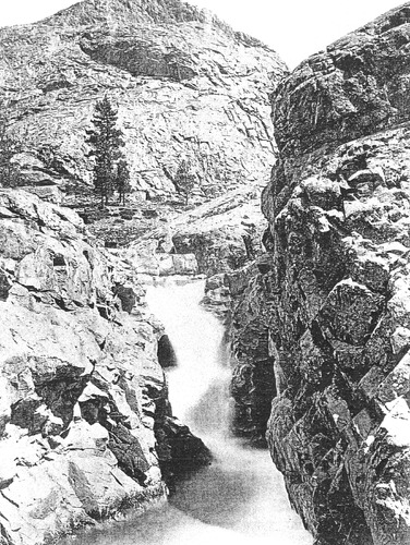
PIC 6-WAT 39:
Bowman Dam. Cascade below, see PIC 1-B 174.
Bowman Dam. Cascade below, see PIC 1-B 174.
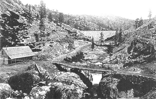
PIC 6-WAT 40:
Bowman Dam & Keepers Residence. House below dam, bridge etc., see PIC 1-B 175.
Bowman Dam & Keepers Residence. House below dam, bridge etc., see PIC 1-B 175.
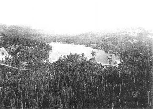
PIC 6-WAT 41:
English Dam. General View, see PIC 1-B 176.
English Dam. General View, see PIC 1-B 176.
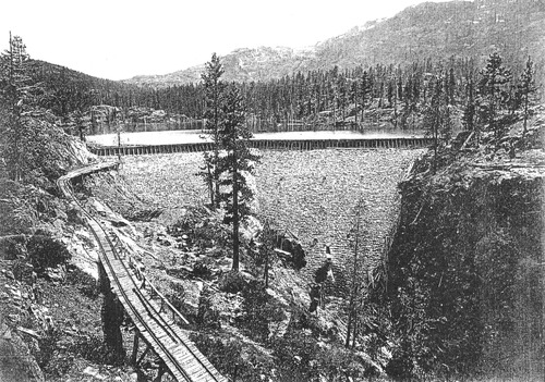
PIC 6-WAT 42:
English Dam. Middle view, see PIC 1-B 177.
English Dam. Middle view, see PIC 1-B 177.
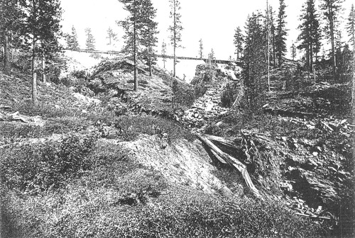
PIC 6-WAT 43:
English Dam. East view, see PIC 1-B 178.
English Dam. East view, see PIC 1-B 178.
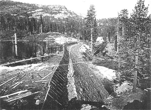
PIC 6-WAT 44:
English Dam. West view, see PIC 1-B 179.
English Dam. West view, see PIC 1-B 179.
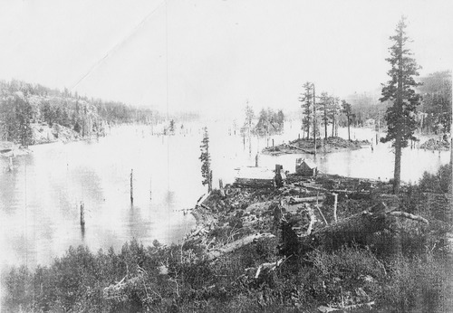
PIC 6-WAT 45:
Rudyard Dam. Also known as English Dam, see PIC 1-C 80.
Rudyard Dam. Also known as English Dam, see PIC 1-C 80.
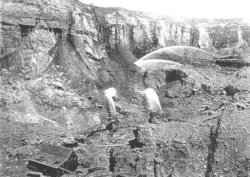
PIC 6-WAT 46:
Malakoff Mine. 4 monitors, See PIC 5-MIN-C 102-A.
Malakoff Mine. 4 monitors, See PIC 5-MIN-C 102-A.
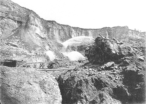
PIC 6-WAT 47:
Malakoff Diggings. 4 monitors, see PIC 5-MIN-C 102-B.
Malakoff Diggings. 4 monitors, see PIC 5-MIN-C 102-B.
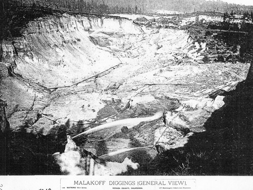
PIC 6-WAT 48:
Malakoff Diggings. General View, 2 monitors, see PIC 5-MIN-C 102-C.
Malakoff Diggings. General View, 2 monitors, see PIC 5-MIN-C 102-C.
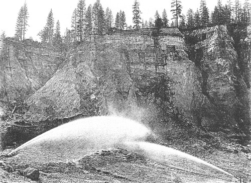
PIC 6-WAT 49:
Malakoff Mine. 2 monitors, see PIC 5-MIN-C 102-D.
Malakoff Mine. 2 monitors, see PIC 5-MIN-C 102-D.
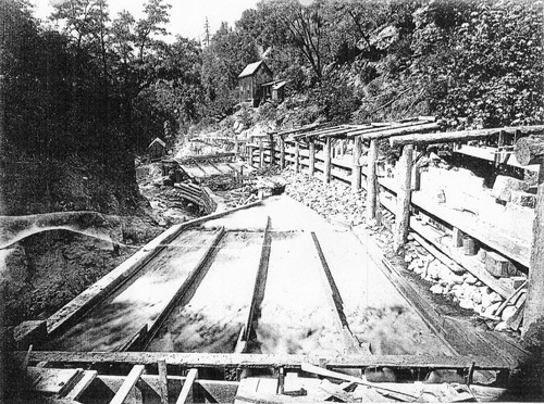
PIC 6-WAT 50:
Malakoff Diggings. Under currents, see PIC 5-MIN-C 102-E.
Malakoff Diggings. Under currents, see PIC 5-MIN-C 102-E.
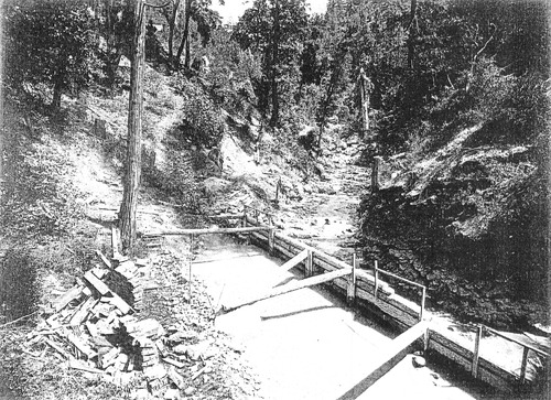
PIC 6-WAT 51:
Malakoff Mine. Mouth of Tunnel, see PIC 5-MIN-C 102-E.
Malakoff Mine. Mouth of Tunnel, see PIC 5-MIN-C 102-E.
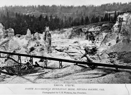
PIC 6-WAT 52:
Malakoff Diggins. Iron pipe across mine see PIC 5 MIN-C 102-F.
Malakoff Diggins. Iron pipe across mine see PIC 5 MIN-C 102-F.
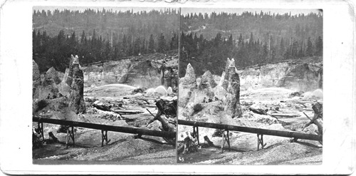
PIC 6-WAT 52B:
Malakoff Diggings. Stereo print of PIC 6-WAT 52.
Malakoff Diggings. Stereo print of PIC 6-WAT 52.
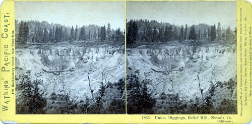
PIC 6-WAT 53:
Union Diggings, Relief Hill. Stereo pic, gift of C. Ward.
Union Diggings, Relief Hill. Stereo pic, gift of C. Ward.
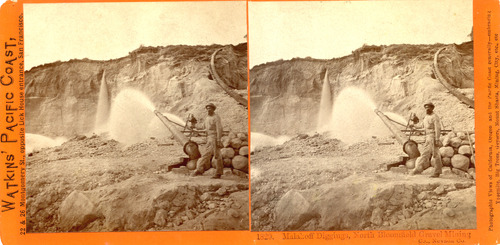
PIC 6-WAT 54:
Malakoff Diggins. Monitor working & miner stereopticon slide.
Malakoff Diggins. Monitor working & miner stereopticon slide.
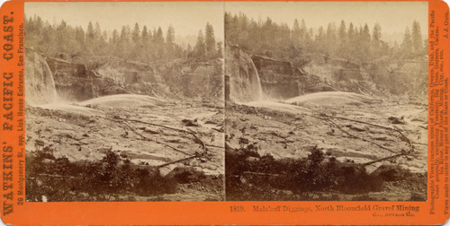
PIC 6-WAT 55:
Malakoff Diggings Hydraulic Mining. Stereo views, 4 monitors working.
Malakoff Diggings Hydraulic Mining. Stereo views, 4 monitors working.


