Enter a name, company, place or keywords to search across this item. Then click "Search" (or hit Enter).
Collection: Maps > Nevada County Recorders Maps
Nevada County Recorders Survey Maps Book 11 (510 images)
Zoom Out
Zoom In (Please allow time for high-res images to load)
Zoom: 100%
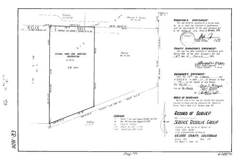
Record of Survey Book 11, pg. 001 (1992)
NC Recorders Map Survey 11-001:
Bell Rd. Permanent Rd. District. T15N R7E Sec. 5. Parcel Map Book 9, pg. 106 parcel D. Parcel Map Book 18, pg. 36 parcel 1. Pet Hill Canal. Ithuriels Spear Rd.
NC Recorders Map Survey 11-001:
Bell Rd. Permanent Rd. District. T15N R7E Sec. 5. Parcel Map Book 9, pg. 106 parcel D. Parcel Map Book 18, pg. 36 parcel 1. Pet Hill Canal. Ithuriels Spear Rd.

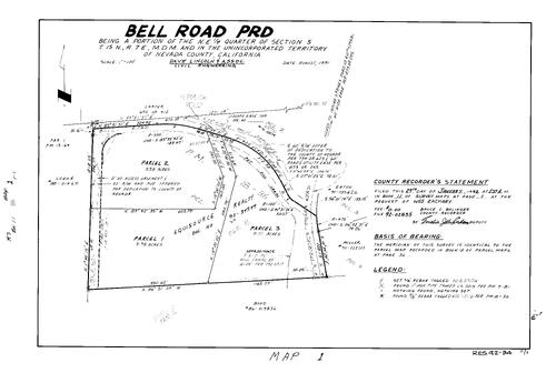
Record of Survey Book 11, pg. 002 (1992)
NC Recorders Map Survey 11-002:
Travers, Deborah. T15N R9E Sec. 9. Lower Colfax Rd.. Parcel Map Book 10, pg. 33 parcel 4. Parcel Map Book 7, pg. 66 parcel A. Parcel Map Book 13, pg. 74 parcel 1, 2
NC Recorders Map Survey 11-002:
Travers, Deborah. T15N R9E Sec. 9. Lower Colfax Rd.. Parcel Map Book 10, pg. 33 parcel 4. Parcel Map Book 7, pg. 66 parcel A. Parcel Map Book 13, pg. 74 parcel 1, 2
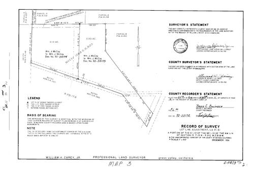
Record of Survey Book 11, pg. 003 (1992)
NC Recorders Map Survey 11-003:
T15N R9E Sec. 15. McCoy, William J.. Parcel Map Book 6, pg. 216 parcel 3, 4. Parcel Map Book 9, pg. 130 parcel B. Parcel Map Book 4, pg. 227 parcel 4
NC Recorders Map Survey 11-003:
T15N R9E Sec. 15. McCoy, William J.. Parcel Map Book 6, pg. 216 parcel 3, 4. Parcel Map Book 9, pg. 130 parcel B. Parcel Map Book 4, pg. 227 parcel 4
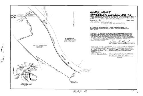
Record of Survey Book 11, pg. 004 (1992)
NC Recorders Map Survey 11-004:
Grass Valley Annexation District No. 78. T16N R8E Sec. 26. T16N R8E Sec. 36. State Highway 174
NC Recorders Map Survey 11-004:
Grass Valley Annexation District No. 78. T16N R8E Sec. 26. T16N R8E Sec. 36. State Highway 174

Record of Survey Book 11, pg. 005 (1992)
NC Recorders Map Survey 11-005-1:
Spadaro, Don. T16N R8E Sec. 4. State Highway 49
NC Recorders Map Survey 11-005-1:
Spadaro, Don. T16N R8E Sec. 4. State Highway 49

Record of Survey Book 11, pg. 005 (1992)
NC Recorders Map Survey 11-005-2:
Spadaro, Don. T16N R8E Sec. 4. State Highway 49
NC Recorders Map Survey 11-005-2:
Spadaro, Don. T16N R8E Sec. 4. State Highway 49
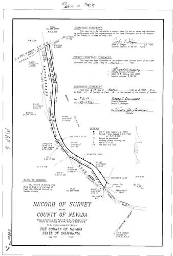
Record of Survey Book 11, pg. 006 (1992)
NC Recorders Map Survey 11-006:
Rattlesnake Rd.. County of Nevada. T15N R8E Sec. 12
NC Recorders Map Survey 11-006:
Rattlesnake Rd.. County of Nevada. T15N R8E Sec. 12
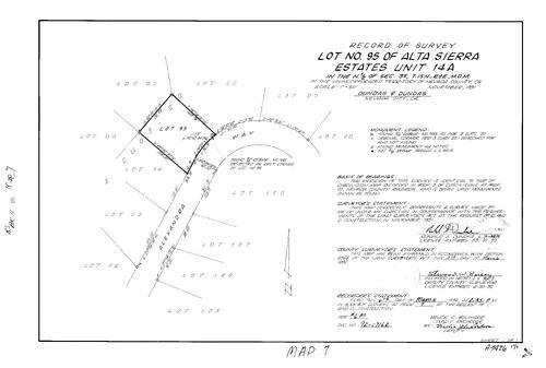
Record of Survey Book 11, pg. 007 (1992)
NC Recorders Map Survey 11-007:
Alta Sierra Estates 14-A lot 95. T15N R8E Sec. 35. Alexandra Way. C & D Construction
NC Recorders Map Survey 11-007:
Alta Sierra Estates 14-A lot 95. T15N R8E Sec. 35. Alexandra Way. C & D Construction

Record of Survey Book 11, pg. 008 (1992)
NC Recorders Map Survey 11-008-1:
NC Recorders Map Survey 11-008-1:
United States Forest Service. Sierra Pacific Industries. Milton Ditch. East Fork Cadastral Survey... See More
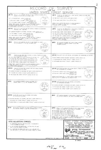
Record of Survey Book 11, pg. 008 (1992)
NC Recorders Map Survey 11-008-2:
NC Recorders Map Survey 11-008-2:
United States Forest Service. Sierra Pacific Industries. Milton Ditch. East Fork Cadastral Survey... See More
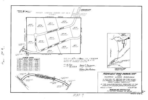
Record of Survey Book 11, pg. 009 (1992)
NC Recorders Map Survey 11-009:
Prosser Woods Subdivision Permanent Rd. Division. T18N R16E Sec. 35. T17N R16E Sec. 2. Laurelwood Dr.. Ida Way. Alder Creek Rd., East. Prosser Dam Rd.
NC Recorders Map Survey 11-009:
Prosser Woods Subdivision Permanent Rd. Division. T18N R16E Sec. 35. T17N R16E Sec. 2. Laurelwood Dr.. Ida Way. Alder Creek Rd., East. Prosser Dam Rd.

Record of Survey Book 11, pg. 010 (1992)
NC Recorders Map Survey 11-010:
Selznick, Mitchell. T16N R9E Sec. 5
NC Recorders Map Survey 11-010:
Selznick, Mitchell. T16N R9E Sec. 5

Record of Survey Book 11, pg. 011 (1992)
NC Recorders Map Survey 11-011:
Harvey, Hoover R.. T15N R8E Sec. 33. Lime Kiln Rd.
NC Recorders Map Survey 11-011:
Harvey, Hoover R.. T15N R8E Sec. 33. Lime Kiln Rd.

Record of Survey Book 11, pg. 012 (1992)
NC Recorders Map Survey 11-012:
T16N R9E Sec. 9. Stein, Cary. Sierra Pines Rd.
NC Recorders Map Survey 11-012:
T16N R9E Sec. 9. Stein, Cary. Sierra Pines Rd.
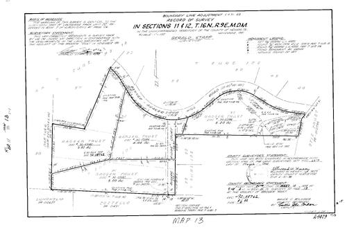
Record of Survey Book 11, pg. 013 (1992)
NC Recorders Map Survey 11-013:
T16N R9E Sec. 11. T16N R9E Sec. 12. Banner Quaker Hill Rd.. Badger Trust. Quaker Ridge Ct.. Otis Trust
NC Recorders Map Survey 11-013:
T16N R9E Sec. 11. T16N R9E Sec. 12. Banner Quaker Hill Rd.. Badger Trust. Quaker Ridge Ct.. Otis Trust

Record of Survey Book 11, pg. 014 (1992)
NC Recorders Map Survey 11-014:
Dukes, Yvonne. T18N R16E Sec. 34
NC Recorders Map Survey 11-014:
Dukes, Yvonne. T18N R16E Sec. 34

Record of Survey Book 11, pg. 015 (1992)
NC Recorders Map Survey 11-015:
Grass Valley Annexation No. 79. T16N R8E Sec. 26. Bennett St., East. Grass Valley Annexation No. 36. General Castings Inc.. Badger Hill Q. M.. Wolf Creek
NC Recorders Map Survey 11-015:
Grass Valley Annexation No. 79. T16N R8E Sec. 26. Bennett St., East. Grass Valley Annexation No. 36. General Castings Inc.. Badger Hill Q. M.. Wolf Creek
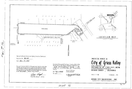
Record of Survey Book 11, pg. 016 (1992)
NC Recorders Map Survey 11-016:
Grass Valley Annexation No. 80. T16N R8E Sec. 14. T16N R8E Sec. 15. Northridge Dr.. Horizon Cir.. Grass Valley Annexation No. 55. Morgan Ranch
NC Recorders Map Survey 11-016:
Grass Valley Annexation No. 80. T16N R8E Sec. 14. T16N R8E Sec. 15. Northridge Dr.. Horizon Cir.. Grass Valley Annexation No. 55. Morgan Ranch

Record of Survey Book 11, pg. 017 (1992)
NC Recorders Map Survey 11-017:
T16N R7E Sec. 5. Tomchak, Sigfrid A.. Meadow Valley Ranches Lot 18. Del Mar Way. Subdivision Book 5, pg. 27 lot 18
NC Recorders Map Survey 11-017:
T16N R7E Sec. 5. Tomchak, Sigfrid A.. Meadow Valley Ranches Lot 18. Del Mar Way. Subdivision Book 5, pg. 27 lot 18
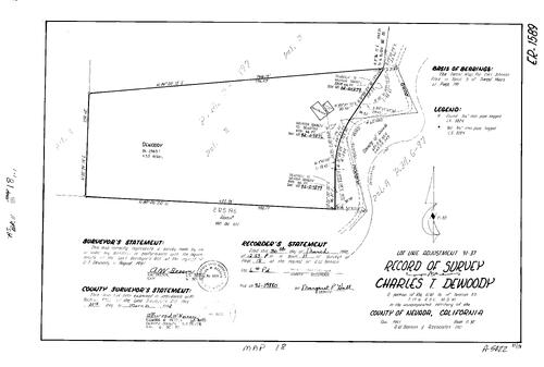
Record of Survey Book 11, pg. 018 (1992)
NC Recorders Map Survey 11-018:
Dewoody, Charles T.. Parcel Map Book 3, pg. 199 parcel 2. Purdon Rd.. T17N R8E Sec. 25
NC Recorders Map Survey 11-018:
Dewoody, Charles T.. Parcel Map Book 3, pg. 199 parcel 2. Purdon Rd.. T17N R8E Sec. 25
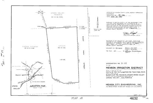
Record of Survey Book 11, pg. 019 (1992)
NC Recorders Map Survey 11-019:
Nevada Irrigation District Annexation. T16N R8E Sec. 26. Grass Valley East Townsite Block 5. Main St., East (Grass Valley). Grass Valley Reserve. Sierra Fitness
NC Recorders Map Survey 11-019:
Nevada Irrigation District Annexation. T16N R8E Sec. 26. Grass Valley East Townsite Block 5. Main St., East (Grass Valley). Grass Valley Reserve. Sierra Fitness

Record of Survey Book 11, pg. 020 (1992)
NC Recorders Map Survey 11-020:
Nevada Irrigation District Annexation. Partridge Subdivision Block E lot 3. T16N R8E Sec. 35. Highgrade Lane. Partridge Dr.. Crandall Rd.. Hanging Wall Dr.
NC Recorders Map Survey 11-020:
Nevada Irrigation District Annexation. Partridge Subdivision Block E lot 3. T16N R8E Sec. 35. Highgrade Lane. Partridge Dr.. Crandall Rd.. Hanging Wall Dr.

Record of Survey Book 11, pg. 021 (1992)
NC Recorders Map Survey 11-021:
Ladas, Hash & Goetze. T15N R9E Sec. 16. Mt. Olive Rd.. Parcel Map Book 12, pg. 50 parcel 2, 3, 4. Parcel Map Book 13, pg. 41 parcel 1
NC Recorders Map Survey 11-021:
Ladas, Hash & Goetze. T15N R9E Sec. 16. Mt. Olive Rd.. Parcel Map Book 12, pg. 50 parcel 2, 3, 4. Parcel Map Book 13, pg. 41 parcel 1

Record of Survey Book 11, pg. 022 (1992)
NC Recorders Map Survey 11-022:
Brown, Ronald. River Front West Lots 6, 7, 8. T17N R16E Sec. 15. River St., West (Truckee). Riverside Dr.
NC Recorders Map Survey 11-022:
Brown, Ronald. River Front West Lots 6, 7, 8. T17N R16E Sec. 15. River St., West (Truckee). Riverside Dr.
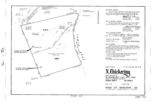
Record of Survey Book 11, pg. 023 (1992)
NC Recorders Map Survey 11-023:
Chickering, N.. T16N R9E Sec. 7. Lewis Rd.. Chickering Living Trust
NC Recorders Map Survey 11-023:
Chickering, N.. T16N R9E Sec. 7. Lewis Rd.. Chickering Living Trust

Record of Survey Book 11, pg. 024 (1992)
NC Recorders Map Survey 11-024:
Alta Meadows Permanent Road Division. T16N R8E Sec. 22. Alta St.. Alta Hill Rd.. Cooley Dr.
NC Recorders Map Survey 11-024:
Alta Meadows Permanent Road Division. T16N R8E Sec. 22. Alta St.. Alta Hill Rd.. Cooley Dr.
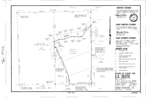
Record of Survey Book 11, pg. 025 (1992)
NC Recorders Map Survey 11-025:
Beatie, K. D.. T16N R7E Sec. 24. Rough & Ready Hwy.
NC Recorders Map Survey 11-025:
Beatie, K. D.. T16N R7E Sec. 24. Rough & Ready Hwy.

Record of Survey Book 11, pg. 026 (1992)
NC Recorders Map Survey 11-026:
Baird, Jeffery. Hasenstat, J.. T16N R8E Sec. 14. T16N R8E Sec. 15. Echo Ridge Dr.. Via Vista
NC Recorders Map Survey 11-026:
Baird, Jeffery. Hasenstat, J.. T16N R8E Sec. 14. T16N R8E Sec. 15. Echo Ridge Dr.. Via Vista

Record of Survey Book 11, pg. 027 (1992)
NC Recorders Map Survey 11-027:
Agar, Joan E.. Nevada City Block 34, lot 6, 7. Spring St. (Nevada City). Mill St. (Nevada City)
NC Recorders Map Survey 11-027:
Agar, Joan E.. Nevada City Block 34, lot 6, 7. Spring St. (Nevada City). Mill St. (Nevada City)

Record of Survey Book 11, pg. 028 (1992)
NC Recorders Map Survey 11-028:
Southridge Dr. Permanent Road Division. T15N R7E Sec. 3. Spenceville Rd.
NC Recorders Map Survey 11-028:
Southridge Dr. Permanent Road Division. T15N R7E Sec. 3. Spenceville Rd.
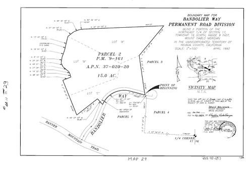
Record of Survey Book 11, pg. 029 (1992)
NC Recorders Map Survey 11-029:
Bandolier Way Permanent Road Division. T16N R9E Sec. 17. Parcel Map Book 9, pg. 161 parcel A, B, C. Banner Mountain Trail
NC Recorders Map Survey 11-029:
Bandolier Way Permanent Road Division. T16N R9E Sec. 17. Parcel Map Book 9, pg. 161 parcel A, B, C. Banner Mountain Trail

Record of Survey Book 11, pg. 030 (1992)
NC Recorders Map Survey 11-030:
Gosalvez, Tony. State Highway 49. Wolf Rd.. Combie Rd.. T14N R8E Sec. 21. T14N R8E Sec. 28
NC Recorders Map Survey 11-030:
Gosalvez, Tony. State Highway 49. Wolf Rd.. Combie Rd.. T14N R8E Sec. 21. T14N R8E Sec. 28

Record of Survey Book 11, pg. 031 (1992)
NC Recorders Map Survey 11-031:
NC Recorders Map Survey 11-031:
Boulder St. (French Corral). Nevada St. (French Corral). California St. (French Corral). Dudley,... See More

Record of Survey Book 11, pg. 032 (1992)
NC Recorders Map Survey 11-032:
Riley, Doyne M.. Gracie Rd.. Strolum Lane. T16N R9E Sec. 18
NC Recorders Map Survey 11-032:
Riley, Doyne M.. Gracie Rd.. Strolum Lane. T16N R9E Sec. 18

Record of Survey Book 11, pg. 033 (1992)
NC Recorders Map Survey 11-033:
T18N R17E Sec. 28. Stampede Meadows Rd.. I-80. Boca Bridge
NC Recorders Map Survey 11-033:
T18N R17E Sec. 28. Stampede Meadows Rd.. I-80. Boca Bridge

Record of Survey Book 11, pg. 034 (1992)
NC Recorders Map Survey 11-034:
Mott, Barbara. T18N R16E Sec. 34. T18N R16E Sec. 35. Alder Dr.
NC Recorders Map Survey 11-034:
Mott, Barbara. T18N R16E Sec. 34. T18N R16E Sec. 35. Alder Dr.
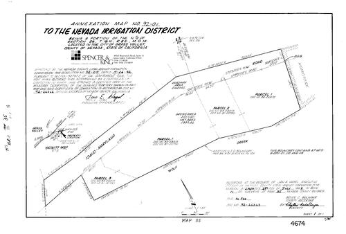
Record of Survey Book 11, pg. 035 (1992)
NC Recorders Map Survey 11-035:
Nevada Irrigation District Annexation 92-01. Idaho-Maryland Rd.. Wolf Creek. T16N R8E Sec. 26
NC Recorders Map Survey 11-035:
Nevada Irrigation District Annexation 92-01. Idaho-Maryland Rd.. Wolf Creek. T16N R8E Sec. 26
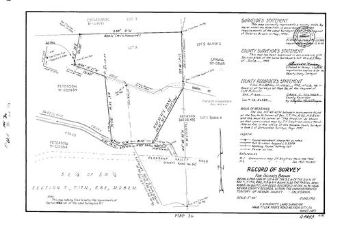
Record of Survey Book 11, pg. 036 (1992)
NC Recorders Map Survey 11-036:
Brown, Delores. T17N R8E Sec. 7. Pleasant Valley Rd.. Sweetland Creek. School St. (Sweetland)
NC Recorders Map Survey 11-036:
Brown, Delores. T17N R8E Sec. 7. Pleasant Valley Rd.. Sweetland Creek. School St. (Sweetland)

Record of Survey Book 11, pg. 037 (1992)
NC Recorders Map Survey 11-037-1:
United States Forest Service. T18N R10E Sec. 31. T18N R10E Sec. 32. Mineral Survey 1053. De Bour. Bull Run. Humbug Cadastral Survey. Ultimatium
NC Recorders Map Survey 11-037-1:
United States Forest Service. T18N R10E Sec. 31. T18N R10E Sec. 32. Mineral Survey 1053. De Bour. Bull Run. Humbug Cadastral Survey. Ultimatium
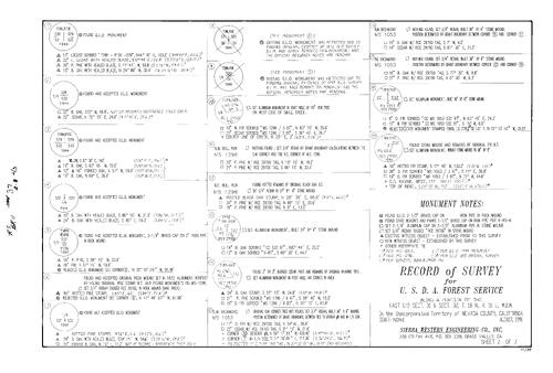
Record of Survey Book 11, pg. 037 (1992)
NC Recorders Map Survey 11-037-2:
United States Forest Service. T18N R10E Sec. 31. T18N R10E Sec. 32. Mineral Survey 1053. De Bour. Bull Run. Humbug Cadastral Survey. Ultimatium
NC Recorders Map Survey 11-037-2:
United States Forest Service. T18N R10E Sec. 31. T18N R10E Sec. 32. Mineral Survey 1053. De Bour. Bull Run. Humbug Cadastral Survey. Ultimatium

Record of Survey Book 11, pg. 037 (1992)
NC Recorders Map Survey 11-037-3:
United States Forest Service. T18N R10E Sec. 31. T18N R10E Sec. 32. Mineral Survey 1053. De Bour. Bull Run. Humbug Cadastral Survey. Ultimatium
NC Recorders Map Survey 11-037-3:
United States Forest Service. T18N R10E Sec. 31. T18N R10E Sec. 32. Mineral Survey 1053. De Bour. Bull Run. Humbug Cadastral Survey. Ultimatium

Record of Survey Book 11, pg. 038 (1992)
NC Recorders Map Survey 11-038:
Cooley, Duel & Gladys. T16N R8E Sec. 26. Idaho-Maryland Rd.
NC Recorders Map Survey 11-038:
Cooley, Duel & Gladys. T16N R8E Sec. 26. Idaho-Maryland Rd.

Record of Survey Book 11, pg. 039 (1992)
NC Recorders Map Survey 11-039:
Handley, R. et ux. T16N R9E Sec. 18. Railroad Ave. (Nevada City). Subdivision Book 7, pg. 119 lot 14
NC Recorders Map Survey 11-039:
Handley, R. et ux. T16N R9E Sec. 18. Railroad Ave. (Nevada City). Subdivision Book 7, pg. 119 lot 14

Record of Survey Book 11, pg. 040 (1992)
NC Recorders Map Survey 11-040:
Patterson Valley Ranches Permanent Rd. Div. "B". McCourtney Rd.. Patterson Valley Rd.. Pine Rock Lane
NC Recorders Map Survey 11-040:
Patterson Valley Ranches Permanent Rd. Div. "B". McCourtney Rd.. Patterson Valley Rd.. Pine Rock Lane
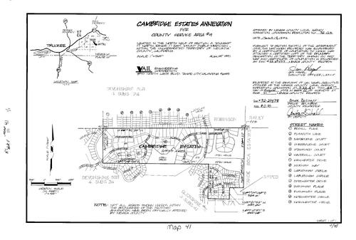
Record of Survey Book 11, pg. 041 (1992)
NC Recorders Map Survey 11-041:
NC Recorders Map Survey 11-041:
County Service Area Cambridge Estates Annex.. T17N R17E Sec. 4. Chelmsford St.. Albans Pl.. Dorchester Dr.. Sudsbury Cir.. Woodbridge Lane. Exeter Ct.. Woodbridge Ct.. Glenshire Dr.. Lange Dr.. Winchester Ct... See More

Record of Survey Book 11, pg. 042 (1992)
NC Recorders Map Survey 11-042:
South Shore Dr.. Papadakis, Anthony A.. West Shore Tract lot 3. Subdivision Book 1, pg. 123 lot 3. T17N R15E Sec. 14. Maple St.. Pine St. (Truckee)
NC Recorders Map Survey 11-042:
South Shore Dr.. Papadakis, Anthony A.. West Shore Tract lot 3. Subdivision Book 1, pg. 123 lot 3. T17N R15E Sec. 14. Maple St.. Pine St. (Truckee)
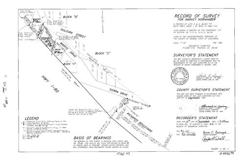
Record of Survey Book 11, pg. 043 (1992)
NC Recorders Map Survey 11-043:
Kornhaber, Harvey. Biltz Tract Block H lot 3, 4. T17N R16E Sec. 18. Martis Dr.. Dulzura St.. I-80. Sierra Dr.. Richards Blvd.
NC Recorders Map Survey 11-043:
Kornhaber, Harvey. Biltz Tract Block H lot 3, 4. T17N R16E Sec. 18. Martis Dr.. Dulzura St.. I-80. Sierra Dr.. Richards Blvd.

Record of Survey Book 11, pg. 044 (1992)
NC Recorders Map Survey 11-044:
Norris, Ralph. Packer Rd.. Sierra Dr.. Peterson, Patricia. Lynch, Beverly. Armstrong Tract lot 48, 49, 50. T17N R16E Sec. 17
NC Recorders Map Survey 11-044:
Norris, Ralph. Packer Rd.. Sierra Dr.. Peterson, Patricia. Lynch, Beverly. Armstrong Tract lot 48, 49, 50. T17N R16E Sec. 17

Record of Survey Book 11, pg. 045 (1992)
NC Recorders Map Survey 11-045-1:
Chubb Lake Cadastral Survey. United States Forest Service. T17N R12E Sec. 22. State Highway 20. Boy Scouts of America
NC Recorders Map Survey 11-045-1:
Chubb Lake Cadastral Survey. United States Forest Service. T17N R12E Sec. 22. State Highway 20. Boy Scouts of America
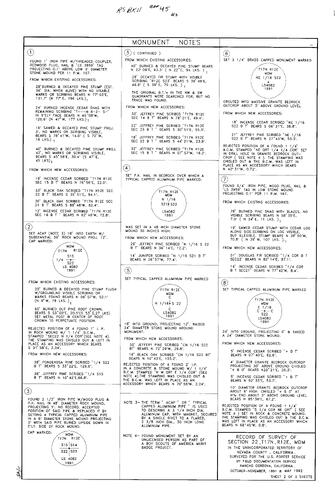
Record of Survey Book 11, pg. 045 (1992)
NC Recorders Map Survey 11-045-2:
NC Recorders Map Survey 11-045-2:
Chubb Lake Cadastral Survey. United States Forest Service. T17N R12E Sec. 22. State Highway 20. Boy... See More

Record of Survey Book 11, pg. 045 (1992)
NC Recorders Map Survey 11-045-3:
NC Recorders Map Survey 11-045-3:
Chubb Lake Cadastral Survey. United States Forest Service. T17N R12E Sec. 22. State Highway 20. Boy... See More

Record of Survey Book 11, pg. 046 (1992)
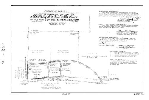
NC Recorders Map Survey 11-046:
Robertson Property. T17N R16E Sec. 15. State Highway 267. River St., South (Truckee). Kuttle, K.. Williams, J.
NC Recorders Map Survey 11-046:
Robertson Property. T17N R16E Sec. 15. State Highway 267. River St., South (Truckee). Kuttle, K.. Williams, J.
Record of Survey Book 11, pg. 047 (1992)
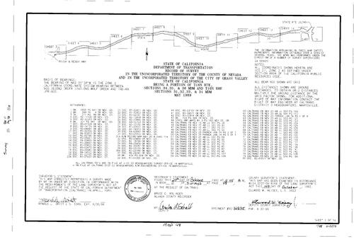
NC Recorders Map Survey 11-047:
Buena Vista Ranch. T15N R9E Sec. 5. Erickson, Edith. State Highway 174
NC Recorders Map Survey 11-047:
Buena Vista Ranch. T15N R9E Sec. 5. Erickson, Edith. State Highway 174
Record of Survey Book 11, pg. 048 (1992)
NC Recorders Map Survey 11-048-1:
NC Recorders Map Survey 11-048-1:
T16N R7E Sec. 34. T16N R7E Sec. 35. T16N R7E Sec. 36. T16N R8E Sec. 31. T16N R8E Sec. 32. T16N R8E Sec. 33. T16N R8E Sec. 34. State Highway 20. Rough & Ready Hwy.. Pevv Valley Dr,. Brughton St.. State Highway 49... See More

Record of Survey Book 11, pg. 048 (1992)
NC Recorders Map Survey 11-048-2:
NC Recorders Map Survey 11-048-2:
T16N R7E Sec. 34. T16N R7E Sec. 35. T16N R7E Sec. 36. T16N R8E Sec. 31. T16N R8E Sec. 32. T16N R8E Sec. 33. T16N R8E Sec. 34. State Highway 20. Rough & Ready Hwy.. Pevv Valley Dr,. Brughton St.. State Highway 49... See More

Record of Survey Book 11, pg. 048 (1992)
NC Recorders Map Survey 11-048-3:
NC Recorders Map Survey 11-048-3:
T16N R7E Sec. 34. T16N R7E Sec. 35. T16N R7E Sec. 36. T16N R8E Sec. 31. T16N R8E Sec. 32. T16N R8E Sec. 33. T16N R8E Sec. 34. State Highway 20. Rough & Ready Hwy.. Pevv Valley Dr,. Brughton St.. State Highway 49... See More

Record of Survey Book 11, pg. 048 (1992)
NC Recorders Map Survey 11-048-4:
NC Recorders Map Survey 11-048-4:
T16N R7E Sec. 34. T16N R7E Sec. 35. T16N R7E Sec. 36. T16N R8E Sec. 31. T16N R8E Sec. 32. T16N R8E Sec. 33. T16N R8E Sec. 34. State Highway 20. Rough & Ready Hwy.. Pevv Valley Dr,. Brughton St.. State Highway 49... See More

Record of Survey Book 11, pg. 048 (1992)
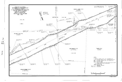
NC Recorders Map Survey 11-048-5:
NC Recorders Map Survey 11-048-5:
T16N R7E Sec. 34. T16N R7E Sec. 35. T16N R7E Sec. 36. T16N R8E Sec. 31. T16N R8E Sec. 32. T16N R8E Sec. 33. T16N R8E Sec. 34. State Highway 20. Rough & Ready Hwy.. Pevv Valley Dr,. Brughton St.. State Highway 49... See More
Record of Survey Book 11, pg. 048 (1992)
NC Recorders Map Survey 11-048-6:
NC Recorders Map Survey 11-048-6:
T16N R7E Sec. 34. T16N R7E Sec. 35. T16N R7E Sec. 36. T16N R8E Sec. 31. T16N R8E Sec. 32. T16N R8E Sec. 33. T16N R8E Sec. 34. State Highway 20. Rough & Ready Hwy.. Pevv Valley Dr,. Brughton St.. State Highway 49... See More

Record of Survey Book 11, pg. 048 (1992)
NC Recorders Map Survey 11-048-7:
NC Recorders Map Survey 11-048-7:
T16N R7E Sec. 34. T16N R7E Sec. 35. T16N R7E Sec. 36. T16N R8E Sec. 31. T16N R8E Sec. 32. T16N R8E Sec. 33. T16N R8E Sec. 34. State Highway 20. Rough & Ready Hwy.. Pevv Valley Dr,. Brughton St.. State Highway 49... See More
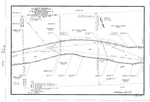
Record of Survey Book 11, pg. 048 (1992)
NC Recorders Map Survey 11-048-8:
NC Recorders Map Survey 11-048-8:
T16N R7E Sec. 34. T16N R7E Sec. 35. T16N R7E Sec. 36. T16N R8E Sec. 31. T16N R8E Sec. 32. T16N R8E Sec. 33. T16N R8E Sec. 34. State Highway 20. Rough & Ready Hwy.. Pevv Valley Dr,. Brughton St.. State Highway 49... See More

Record of Survey Book 11, pg. 048 (1992)
NC Recorders Map Survey 11-048-9:
NC Recorders Map Survey 11-048-9:
T16N R7E Sec. 34. T16N R7E Sec. 35. T16N R7E Sec. 36. T16N R8E Sec. 31. T16N R8E Sec. 32. T16N R8E Sec. 33. T16N R8E Sec. 34. State Highway 20. Rough & Ready Hwy.. Pevv Valley Dr,. Brughton St.. State Highway 49... See More

Record of Survey Book 11, pg. 048 (1992)
NC Recorders Map Survey 11-048-10:
NC Recorders Map Survey 11-048-10:
T16N R7E Sec. 34. T16N R7E Sec. 35. T16N R7E Sec. 36. T16N R8E Sec. 31. T16N R8E Sec. 32. T16N R8E Sec. 33. T16N R8E Sec. 34. State Highway 20. Rough & Ready Hwy.. Pevv Valley Dr,. Brughton St.. State Highway 49... See More
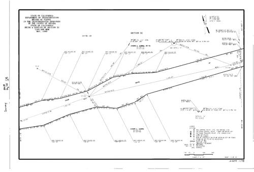
Record of Survey Book 11, pg. 048 (1992)
NC Recorders Map Survey 11-048-11:
NC Recorders Map Survey 11-048-11:
T16N R7E Sec. 34. T16N R7E Sec. 35. T16N R7E Sec. 36. T16N R8E Sec. 31. T16N R8E Sec. 32. T16N R8E Sec. 33. T16N R8E Sec. 34. State Highway 20. Rough & Ready Hwy.. Pevv Valley Dr,. Brughton St.. State Highway 49... See More
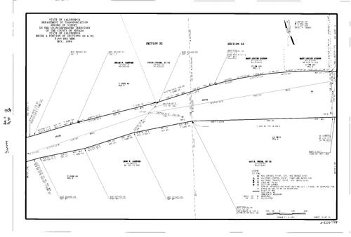
Record of Survey Book 11, pg. 048 (1992)
NC Recorders Map Survey 11-048-12:
NC Recorders Map Survey 11-048-12:
T16N R7E Sec. 34. T16N R7E Sec. 35. T16N R7E Sec. 36. T16N R8E Sec. 31. T16N R8E Sec. 32. T16N R8E Sec. 33. T16N R8E Sec. 34. State Highway 20. Rough & Ready Hwy.. Pevv Valley Dr,. Brughton St.. State Highway 49... See More
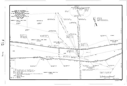
Record of Survey Book 11, pg. 048 (1992)
NC Recorders Map Survey 11-048-13:
NC Recorders Map Survey 11-048-13:
T16N R7E Sec. 34. T16N R7E Sec. 35. T16N R7E Sec. 36. T16N R8E Sec. 31. T16N R8E Sec. 32. T16N R8E Sec. 33. T16N R8E Sec. 34. State Highway 20. Rough & Ready Hwy.. Pevv Valley Dr,. Brughton St.. State Highway 49... See More

Record of Survey Book 11, pg. 048 (1992)
NC Recorders Map Survey 11-048-14:
NC Recorders Map Survey 11-048-14:
T16N R7E Sec. 34. T16N R7E Sec. 35. T16N R7E Sec. 36. T16N R8E Sec. 31. T16N R8E Sec. 32. T16N R8E Sec. 33. T16N R8E Sec. 34. State Highway 20. Rough & Ready Hwy.. Pevv Valley Dr,. Brughton St.. State Highway 49... See More

Record of Survey Book 11, pg. 048 (1992)
NC Recorders Map Survey 11-048-15:
NC Recorders Map Survey 11-048-15:
T16N R7E Sec. 34. T16N R7E Sec. 35. T16N R7E Sec. 36. T16N R8E Sec. 31. T16N R8E Sec. 32. T16N R8E Sec. 33. T16N R8E Sec. 34. State Highway 20. Rough & Ready Hwy.. Pevv Valley Dr,. Brughton St.. State Highway 49... See More
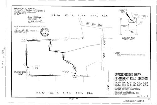
Record of Survey Book 11, pg. 049 (1992)
NC Recorders Map Survey 11-049:
Quarterhorse Dr. Permanent Road Division. T14N R8E Sec. 6. T14N R8E Sec. 7
NC Recorders Map Survey 11-049:
Quarterhorse Dr. Permanent Road Division. T14N R8E Sec. 6. T14N R8E Sec. 7

Record of Survey Book 11, pg. 050 (1992)
NC Recorders Map Survey 11-050-1:
United States Forest Service. T18N R14E Sec. 33. T18N R14E Sec. 34. T17N R14E Sec. 3. T17N R14E Sec. 4. Buzzards Roost Partnership. Sierra Pacific Industries. Buzzard Lake. Sand Lake
NC Recorders Map Survey 11-050-1:
United States Forest Service. T18N R14E Sec. 33. T18N R14E Sec. 34. T17N R14E Sec. 3. T17N R14E Sec. 4. Buzzards Roost Partnership. Sierra Pacific Industries. Buzzard Lake. Sand Lake

Record of Survey Book 11, pg. 050 (1992)
NC Recorders Map Survey 11-050-2:
United States Forest Service. T18N R14E Sec. 33. T18N R14E Sec. 34. T17N R14E Sec. 3. T17N R14E Sec. 4. Buzzards Roost Partnership. Sierra Pacific Industries. Buzzard Lake. Sand Lake
NC Recorders Map Survey 11-050-2:
United States Forest Service. T18N R14E Sec. 33. T18N R14E Sec. 34. T17N R14E Sec. 3. T17N R14E Sec. 4. Buzzards Roost Partnership. Sierra Pacific Industries. Buzzard Lake. Sand Lake
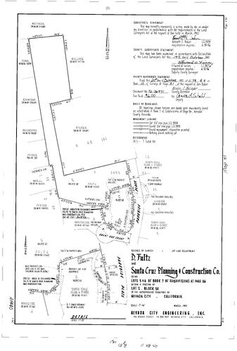
Record of Survey Book 11, pg. 51 (1992)
NC Recorders Map Survey 11-051:
NC Recorders Map Survey 11-051:
Fultz, Don. Great Oak Pl.. Parkside Pl.. Santa Cruz Planning & Construction Co.. Subdivision Book... See More

Record of Survey Book 11, pg. 52 (1992)
NC Recorders Map Survey 11-052:
Banner Lava Cap. T16N R9E Sec. 20
NC Recorders Map Survey 11-052:
Banner Lava Cap. T16N R9E Sec. 20
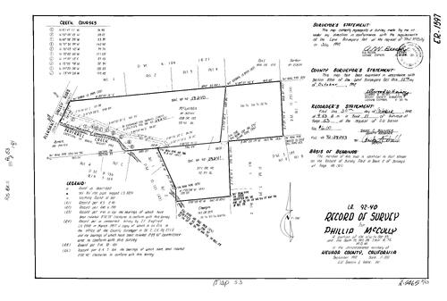
Record of Survey Book 11, pg. 53 (1992)
NC Recorders Map Survey 11-053:
NC Recorders Map Survey 11-053:
McCully, Phillip. T16N R7E Sec. 28. T16N R7E Sec. 33. Pleasant Valley Rd.. Squirrel Creek. Parcel Map Book 4, pg. 199 parcel 1-4. Parcel Map Book 11, pg. 231 parcel 1. Parcel Map Book 3, pg. 189 parcel A, B. Parcel... See More
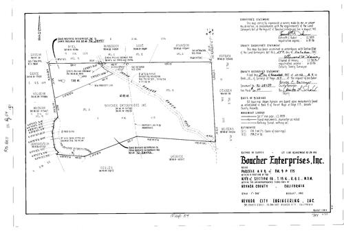
Record of Survey Book 11, pg. 54 (1992)
NC Recorders Map Survey 11-054:
Boucher Enterprises Inc.. Parcel Map Book 9, pg. 175 parcel A, B. T15N R8E Sec. 18. Indian Springs Ranch Rd.
NC Recorders Map Survey 11-054:
Boucher Enterprises Inc.. Parcel Map Book 9, pg. 175 parcel A, B. T15N R8E Sec. 18. Indian Springs Ranch Rd.

Record of Survey Book 11, pg. 55 (1992)
NC Recorders Map Survey 11-055:
County Service Area 35 Zone 3-Donner Lake West. Summit Creek. Pine St. (Truckee). Fawn St.. Tinker Ct.. Eder Ct.. Felton Woods
NC Recorders Map Survey 11-055:
County Service Area 35 Zone 3-Donner Lake West. Summit Creek. Pine St. (Truckee). Fawn St.. Tinker Ct.. Eder Ct.. Felton Woods

Record of Survey Book 11, pg. 56 (1992)
NC Recorders Map Survey 11-056:
Sanford, R.. Bishop, B.. T16N R8E Sec. 26. T16N R8E Sec. 35. Mercury Dr.. Drift Alley. Subdivision Book 1, pg. 105 Block D lot 1
NC Recorders Map Survey 11-056:
Sanford, R.. Bishop, B.. T16N R8E Sec. 26. T16N R8E Sec. 35. Mercury Dr.. Drift Alley. Subdivision Book 1, pg. 105 Block D lot 1

Record of Survey Book 11, pg. 57 (1992)
NC Recorders Map Survey 11-057:
Rossovich, Frank. Grass Valley Townsite Block 43 lot 17. Mill St. (Grass Valley)
NC Recorders Map Survey 11-057:
Rossovich, Frank. Grass Valley Townsite Block 43 lot 17. Mill St. (Grass Valley)
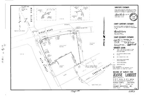
Record of Survey Book 11, pg. 58 (1992)
NC Recorders Map Survey 11-058:
Lambert, Jeanne. T16N R8E Sec. 22. Ridge Rd.. Alta St.. Sunrise Heights. Butte View
NC Recorders Map Survey 11-058:
Lambert, Jeanne. T16N R8E Sec. 22. Ridge Rd.. Alta St.. Sunrise Heights. Butte View

Record of Survey Book 11, pg. 60 (1992)
NC Recorders Map Survey 11-060:
Maloney, Patricia. T15N R7E Sec. 4. Horton St.. Parcel Map Book 6, pg. 17 parcel B, C. Parcel Map Book 4, pg. 30 parcel 3. Parcel Map Book 6, pg. 130 parcel A
NC Recorders Map Survey 11-060:
Maloney, Patricia. T15N R7E Sec. 4. Horton St.. Parcel Map Book 6, pg. 17 parcel B, C. Parcel Map Book 4, pg. 30 parcel 3. Parcel Map Book 6, pg. 130 parcel A

Record of Survey Book 11, pg. 61 (1992)
NC Recorders Map Survey 11-061:
Manjarrez, Richard et al. T16N R8E Sec. 11 lot 4. Cedro Rd.
NC Recorders Map Survey 11-061:
Manjarrez, Richard et al. T16N R8E Sec. 11 lot 4. Cedro Rd.
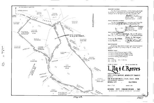
Record of Survey Book 11, pg. 62 (1992)
NC Recorders Map Survey 11-062:
Ilg, Larry. Reeves, C.. Nevada City Townsite Block 43 lot 1, 2, 13. Deer Creek. Jordan St.. Parcel Map Book 10, pg. 66 parcel A, B
NC Recorders Map Survey 11-062:
Ilg, Larry. Reeves, C.. Nevada City Townsite Block 43 lot 1, 2, 13. Deer Creek. Jordan St.. Parcel Map Book 10, pg. 66 parcel A, B

Record of Survey Book 11, pg. 63 (1992)
NC Recorders Map Survey 11-063:
Bacich, John. T17N R10E Sec. 24. Washington Rd.. Parcel Map Book 8, pg. 232 parcel 1-3
NC Recorders Map Survey 11-063:
Bacich, John. T17N R10E Sec. 24. Washington Rd.. Parcel Map Book 8, pg. 232 parcel 1-3

Record of Survey Book 11, pg. 64 (1992)
NC Recorders Map Survey 11-064:
Nevada County Consolidated Fire District. T14N R8E. T14N R9E. T15N R8E. T15N R9E. T16N R8E. T16N R9E
NC Recorders Map Survey 11-064:
Nevada County Consolidated Fire District. T14N R8E. T14N R9E. T15N R8E. T15N R9E. T16N R8E. T16N R9E

Record of Survey Book 11, pg. 65 (1992)
NC Recorders Map Survey 11-065:
Subdivision Book 4, pg. 7 lots 1166, 1167. Golden Trout Way. Kohlmeier, Elizabeth
NC Recorders Map Survey 11-065:
Subdivision Book 4, pg. 7 lots 1166, 1167. Golden Trout Way. Kohlmeier, Elizabeth

Record of Survey Book 11, pg. 66 (1992)
NC Recorders Map Survey 11-066-1:
NC Recorders Map Survey 11-066-1:
T16N R7E Sec. 21. United States Forest Service. T17N R12E Sec. 2. T17N R12E Sec. 3. T17N R12E Sec. 4. T17N R12E Sec. 9. T17N R12E Sec. 10. T17N R12E Sec. 11. T17N R12E Sec. 12. T17N R12E Sec. 13. T17N R12E Sec. 14... See More

Record of Survey Book 11, pg. 66 (1992)
NC Recorders Map Survey 11-066-2:
NC Recorders Map Survey 11-066-2:
T16N R7E Sec. 21. United States Forest Service. T17N R12E Sec. 2. T17N R12E Sec. 3. T17N R12E Sec. 4. T17N R12E Sec. 9. T17N R12E Sec. 10. T17N R12E Sec. 11. T17N R12E Sec. 12. T17N R12E Sec. 13. T17N R12E Sec. 14... See More
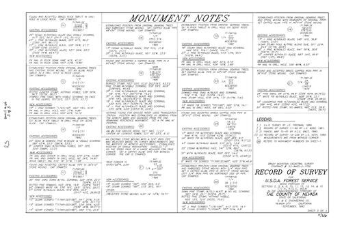
Record of Survey Book 11, pg. 66 (1992)
NC Recorders Map Survey 11-066-3:
NC Recorders Map Survey 11-066-3:
T16N R7E Sec. 21. United States Forest Service. T17N R12E Sec. 2. T17N R12E Sec. 3. T17N R12E Sec. 4. T17N R12E Sec. 9. T17N R12E Sec. 10. T17N R12E Sec. 11. T17N R12E Sec. 12. T17N R12E Sec. 13. T17N R12E Sec. 14... See More
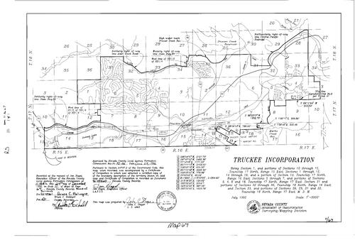
Record of Survey Book 11, pg. 67 (1992)
NC Recorders Map Survey 11-067:
Truckee Incorporation. T17N R15E Sec. 1, 10-15. T17N R16E Sec. 1-2, 13-18. T17N R17E Sec. 3, 4, 5-8, 18. T18N R16E Sec. 31-36. T18N R17E Sec. 28, 29, 31, 32
NC Recorders Map Survey 11-067:
Truckee Incorporation. T17N R15E Sec. 1, 10-15. T17N R16E Sec. 1-2, 13-18. T17N R17E Sec. 3, 4, 5-8, 18. T18N R16E Sec. 31-36. T18N R17E Sec. 28, 29, 31, 32

Record of Survey Book 11, pg. 68 (1993)
NC Recorders Map Survey 11-068:
NC Recorders Map Survey 11-068:
Banner Mountain Trail. Steinbarth & Givens. T16N R9E Sec. 17. Emily Lode. Parcel Map Book 15, pg... See More

Record of Survey Book 11, pg. 69 (1993)
NC Recorders Map Survey 11-069:
Miller, Gene. Subdivision Book 1, pg. 84 lot 23. Donner Pines Tract lot 23. Donner Pass Rd.. Donner Lake. T17N R16E Sec. 18
NC Recorders Map Survey 11-069:
Miller, Gene. Subdivision Book 1, pg. 84 lot 23. Donner Pines Tract lot 23. Donner Pass Rd.. Donner Lake. T17N R16E Sec. 18

Record of Survey Book 11, pg. 70 (1993)
NC Recorders Map Survey 11-070:
NC Recorders Map Survey 11-070:
T17N R16E Sec. 13. T17N R16E Sec. 24. T17N R17E Sec. 19. State Highway 267. Tahoe Truckee Airport Rd.. Parcel Map Book 23, pg. 82. Parcel Map Book 15, pg. 158. Sierra Tahoe Service Co. Inc.. Tahoe Truckee Airport... See More
Record of Survey Book 11, pg. 71 (1993)
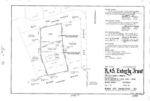
NC Recorders Map Survey 11-071:
Essterly, R & S, Trust. Subdivision Book 1, pg. 76 lot 3, 4. T16N R8E Sec. 14. Via Vista. Ridge Rd.. Esterly, Richard
NC Recorders Map Survey 11-071:
Essterly, R & S, Trust. Subdivision Book 1, pg. 76 lot 3, 4. T16N R8E Sec. 14. Via Vista. Ridge Rd.. Esterly, Richard

Record of Survey Book 11, pg. 72 (1993)
NC Recorders Map Survey 11-072:
Kent Drive Permanent Road Division. T17N R17E Sec. 4. Kent Dr.. Strand, The. Donnington Lane
NC Recorders Map Survey 11-072:
Kent Drive Permanent Road Division. T17N R17E Sec. 4. Kent Dr.. Strand, The. Donnington Lane

Record of Survey Book 11, pg. 73 (1993)
NC Recorders Map Survey 11-073:
County Service Area 14 Prins Annexation. T14N R8E Sec. 5. Wolf Creek
NC Recorders Map Survey 11-073:
County Service Area 14 Prins Annexation. T14N R8E Sec. 5. Wolf Creek

Record of Survey Book 11, pg. 74 (1993)
NC Recorders Map Survey 11-074:
T16N R8E Sec. 27. Grass Valley School District. Forest Glades. Carpenter St.. Walsh St.. Grass Valley Inv. Group. Grass Valley Annexation District No. 30A
NC Recorders Map Survey 11-074:
T16N R8E Sec. 27. Grass Valley School District. Forest Glades. Carpenter St.. Walsh St.. Grass Valley Inv. Group. Grass Valley Annexation District No. 30A

Record of Survey Book 11, pg. 75 (1993)
NC Recorders Map Survey 11-075:
NC Recorders Map Survey 11-075:
Gallino, David. Beyers Lane. Clear Creek Lateral. Parcel Map Book 12, pg. 101 lot 1-4. T15N R7E... See More

Record of Survey Book 11, pg. 76 (1993)
NC Recorders Map Survey 11-076-1:
NC Recorders Map Survey 11-076-1:
Stoll, Patricia. T17N R12E Sec. 8. Rucker Lake. Parcel Map Book 1, pg. 106 parcel C, D. Parcel Map... See More
Record of Survey Book 11, pg. 76 (1993)
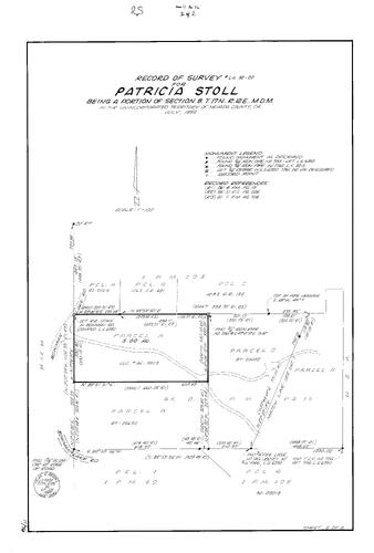
NC Recorders Map Survey 11-076-2:
NC Recorders Map Survey 11-076-2:
Stoll, Patricia. T17N R12E Sec. 8. Rucker Lake. Parcel Map Book 1, pg. 106 parcel C, D. Parcel Map... See More

Record of Survey Book 11, pg. 78 (1993)
NC Recorders Map Survey 11-078:
NC Recorders Map Survey 11-078:
T15N R7E Sec. 3. Eddy, Bill. Casey-Loney Ditch. Eddy Ranch Rd.. Smith-Gordon Ditch. Indian Springs... See More
Record of Survey Book 11, pg. 79 (1993)
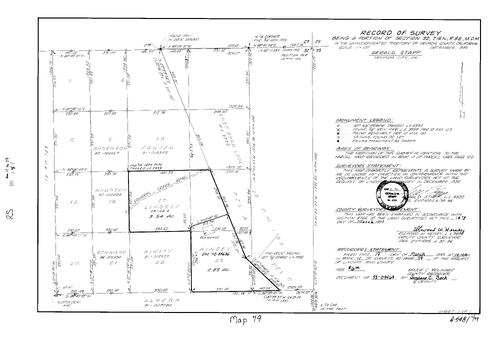
NC Recorders Map Survey 11-079:
T16N R8E Sec. 32. Lindsay & Kinsey. Squirrel Creek Rd.. East Star Lode. Parcel Map Book 10, pg. 150 parcel A, D
NC Recorders Map Survey 11-079:
T16N R8E Sec. 32. Lindsay & Kinsey. Squirrel Creek Rd.. East Star Lode. Parcel Map Book 10, pg. 150 parcel A, D
Record of Survey Book 11, pg. 80 (1993)
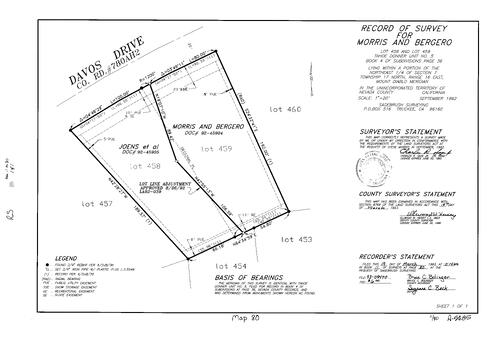
NC Recorders Map Survey 11-080:
Morris, Steve. Morris & Bergero. Tahoe Donner Unit No. 5 lot 458, 459. Subdivision Book 4, pg. 36 lot 458, 459. T17N R16E Sec. 7. Davos Dr.
NC Recorders Map Survey 11-080:
Morris, Steve. Morris & Bergero. Tahoe Donner Unit No. 5 lot 458, 459. Subdivision Book 4, pg. 36 lot 458, 459. T17N R16E Sec. 7. Davos Dr.
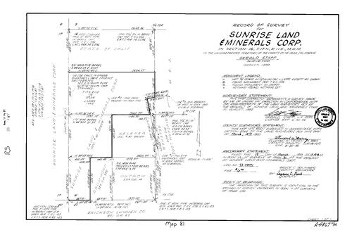
Record of Survey Book 11, pg. 81 (1993)
NC Recorders Map Survey 11-081:
Sunrise Land & Minerals Corp.. T17N R11E Sec. 16. Bingham Lode. Mineral Survey 4102. Erickson Lumber Co.
NC Recorders Map Survey 11-081:
Sunrise Land & Minerals Corp.. T17N R11E Sec. 16. Bingham Lode. Mineral Survey 4102. Erickson Lumber Co.
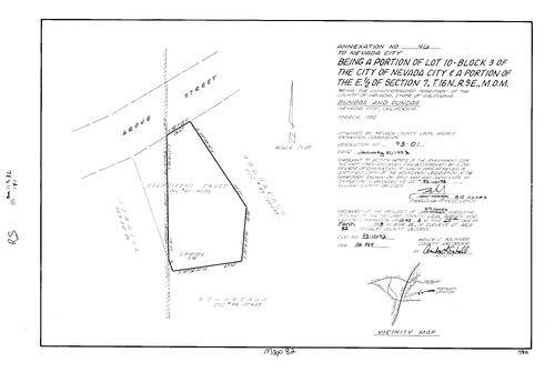
Record of Survey Book 11, pg. 82 (1993)
NC Recorders Map Survey 11-082:
Nevada City Annexation No. 46. Nevada City Block 3, lot 10. T16N R9E Sec. 7. Grove St.. Stentiford Trust
NC Recorders Map Survey 11-082:
Nevada City Annexation No. 46. Nevada City Block 3, lot 10. T16N R9E Sec. 7. Grove St.. Stentiford Trust
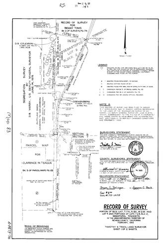
Record of Survey Book 11, pg. 83 (1993)
NC Recorders Map Survey 11-083-1:
NC Recorders Map Survey 11-083-1:
Toms, Benny. Sebastopol Townsite Block 2 lot 7, 8, 9. Coleman, D. B.. Sweetland Rd.. Teague,... See More
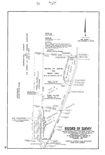
Record of Survey Book 11, pg. 83 (1993)
NC Recorders Map Survey 11-083-2:
NC Recorders Map Survey 11-083-2:
Toms, Benny. Sebastopol Townsite Block 2 lot 7, 8, 9. Coleman, D. B.. Sweetland Rd.. Teague,... See More
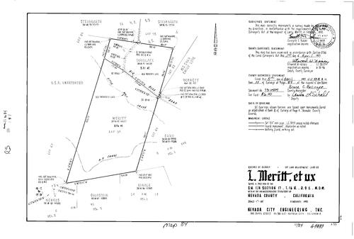
Record of Survey Book 11, pg. 84 (1993)
NC Recorders Map Survey 11-084:
T16N R9E Sec. 17. Meritt, Larry. D-S Canal. Wolf Creek, Little. Emily Lote. Mineral Survey 5809. Big Blue Rd.
NC Recorders Map Survey 11-084:
T16N R9E Sec. 17. Meritt, Larry. D-S Canal. Wolf Creek, Little. Emily Lote. Mineral Survey 5809. Big Blue Rd.
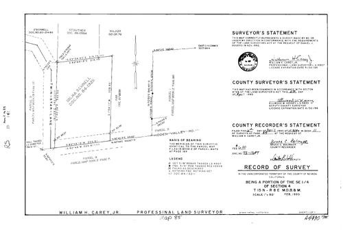
Record of Survey Book 11, pg. 85 (1993)
NC Recorders Map Survey 11-085:
T15N R8E Sec. 4. Twin Star Lane. Schnell, Iolha. Hidden Valley Rd.. Parcel Map Book 2, pg. 189 parcel 1. Parcel Map Book 13, pg. 171 parcel 3
NC Recorders Map Survey 11-085:
T15N R8E Sec. 4. Twin Star Lane. Schnell, Iolha. Hidden Valley Rd.. Parcel Map Book 2, pg. 189 parcel 1. Parcel Map Book 13, pg. 171 parcel 3
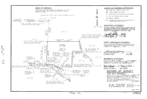
Record of Survey Book 11, pg. 86 (1993)
NC Recorders Map Survey 11-086:
Shandell, Ken. Juniper Hill lot 11. Parcel Map Book 5, pg. 6. T17N R17E Sec. 9. Strand, The
NC Recorders Map Survey 11-086:
Shandell, Ken. Juniper Hill lot 11. Parcel Map Book 5, pg. 6. T17N R17E Sec. 9. Strand, The
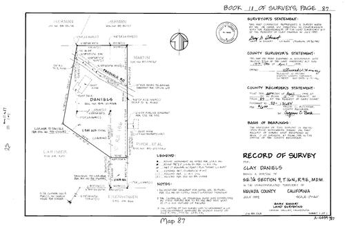
Record of Survey Book 11, pg. 87 (1993)
NC Recorders Map Survey 11-087:
Daniels, Clay. T16N R9E Sec. 9. Pasquale Rd.
NC Recorders Map Survey 11-087:
Daniels, Clay. T16N R9E Sec. 9. Pasquale Rd.

Record of Survey Book 11, pg. 88 (1993)
NC Recorders Map Survey 11-088:
County Service Area 35 Zone 1 Donner Lake West. Wolfe Dr.. Bingham Ct.. Donner Pass Rd.
NC Recorders Map Survey 11-088:
County Service Area 35 Zone 1 Donner Lake West. Wolfe Dr.. Bingham Ct.. Donner Pass Rd.
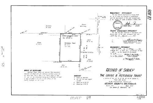
Record of Survey Book 11, pg. 89 (1993)
NC Recorders Map Survey 11-089:
Petersen, Louise B., Trust. T15N R9E Sec. 9. Parcel Map Book 2, pg. 54 parcel A, B
NC Recorders Map Survey 11-089:
Petersen, Louise B., Trust. T15N R9E Sec. 9. Parcel Map Book 2, pg. 54 parcel A, B

Record of Survey Book 11, pg. 90 (1993)
NC Recorders Map Survey 11-090:
Nevada City Annexation No. 45. T16N R8E Sec. 13. Ridge Rd.. Providence Mine Rd.. Gold Flat Rd.. Zion St.
NC Recorders Map Survey 11-090:
Nevada City Annexation No. 45. T16N R8E Sec. 13. Ridge Rd.. Providence Mine Rd.. Gold Flat Rd.. Zion St.
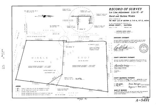
Record of Survey Book 11, pg. 91 (1993)
NC Recorders Map Survey 11-091:
Winkle, David & Darlene. T15N R7E Sec. 3
NC Recorders Map Survey 11-091:
Winkle, David & Darlene. T15N R7E Sec. 3

Record of Survey Book 11, pg. 92 (1993)
NC Recorders Map Survey 11-092:
McCourtney Rd. Underground Utilities District. T16N R8E Sec. 33. T16N R8E Sec. 34. Nevada County Fairgrounds. Brighton St.. Massachusetts Hill. Golden Ave.. Allison Ranch Rd.. North Star Development. Auburn Rd.
NC Recorders Map Survey 11-092:
McCourtney Rd. Underground Utilities District. T16N R8E Sec. 33. T16N R8E Sec. 34. Nevada County Fairgrounds. Brighton St.. Massachusetts Hill. Golden Ave.. Allison Ranch Rd.. North Star Development. Auburn Rd.
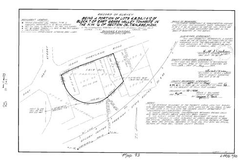
Record of Survey Book 11, pg. 93 (1993)
NC Recorders Map Survey 11-093:
Golden Center Freeway. Idaho-Maryland Rd.. Grass Valley East Block 7 lot 6, 8, 9A, 11, 12. T16N R8E Sec. 26. Hills Flat Lumber Co.. Pardini, Ed et ux. Riebe Family
NC Recorders Map Survey 11-093:
Golden Center Freeway. Idaho-Maryland Rd.. Grass Valley East Block 7 lot 6, 8, 9A, 11, 12. T16N R8E Sec. 26. Hills Flat Lumber Co.. Pardini, Ed et ux. Riebe Family
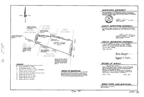
Record of Survey Book 11, pg. 94 (1993)
NC Recorders Map Survey 11-094:
Kate Hayes St.. Grass Valley Block 40 lot 1. T16N R8E Sec. 27. Shriners Hospitals
NC Recorders Map Survey 11-094:
Kate Hayes St.. Grass Valley Block 40 lot 1. T16N R8E Sec. 27. Shriners Hospitals
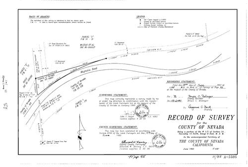
Record of Survey Book 11, pg. 95 (1993)
NC Recorders Map Survey 11-095:
T14N R8E Sec. 24. Magnolia Rd.
NC Recorders Map Survey 11-095:
T14N R8E Sec. 24. Magnolia Rd.

Record of Survey Book 11, pg. 96 (1993)
NC Recorders Map Survey 11-096:
Williams, Heather. T17N R16E Sec. 17. Deerfield Dr.
NC Recorders Map Survey 11-096:
Williams, Heather. T17N R16E Sec. 17. Deerfield Dr.
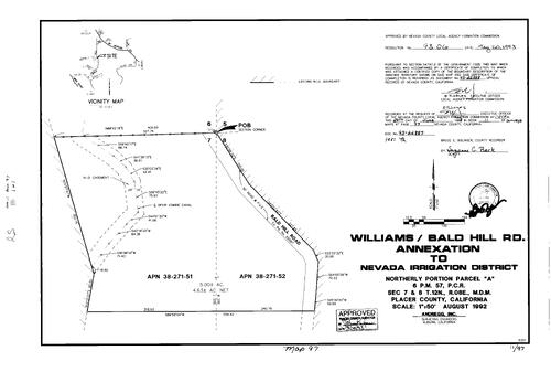
Record of Survey Book 11, pg. 97 (1993)
NC Recorders Map Survey 11-097:
Nevada Irrigation District Annexation-Bald Hill Rd. Parcel Map Book 6, pg. 57 parcel A. T12N R8E Sec. 7. T12N R8E Sec. 8
NC Recorders Map Survey 11-097:
Nevada Irrigation District Annexation-Bald Hill Rd. Parcel Map Book 6, pg. 57 parcel A. T12N R8E Sec. 7. T12N R8E Sec. 8
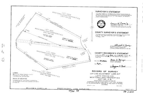
Record of Survey Book 11, pg. 98 (1993)
NC Recorders Map Survey 11-098:
Western Lake Properties Unit 2B lot 1400, 1401. Jones, Marian F.. Lake of the Pines Association. Star Ct.
NC Recorders Map Survey 11-098:
Western Lake Properties Unit 2B lot 1400, 1401. Jones, Marian F.. Lake of the Pines Association. Star Ct.
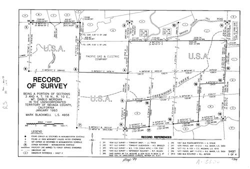
Record of Survey Book 11, pg. 99 (1993)
NC Recorders Map Survey 11-099-1:
T16N R9E Sec. 3. T16N R9E Sec. 4. Pacific Gas & electric. Greenhorn Creek. United States Forest Service
NC Recorders Map Survey 11-099-1:
T16N R9E Sec. 3. T16N R9E Sec. 4. Pacific Gas & electric. Greenhorn Creek. United States Forest Service
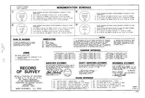
Record of Survey Book 11, pg. 99 (1993)
NC Recorders Map Survey 11-099-2:
T16N R9E Sec. 3. T16N R9E Sec. 4. Pacific Gas & electric. Greenhorn Creek. United States Forest Service
NC Recorders Map Survey 11-099-2:
T16N R9E Sec. 3. T16N R9E Sec. 4. Pacific Gas & electric. Greenhorn Creek. United States Forest Service

Record of Survey Book 11, pg. 99 (1993)
NC Recorders Map Survey 11-099-3:
T16N R9E Sec. 3. T16N R9E Sec. 4. Pacific Gas & electric. Greenhorn Creek. United States Forest Service
NC Recorders Map Survey 11-099-3:
T16N R9E Sec. 3. T16N R9E Sec. 4. Pacific Gas & electric. Greenhorn Creek. United States Forest Service
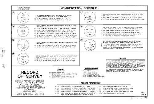
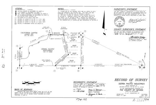
Record of Survey Book 11, pg. 99 (1993)
NC Recorders Map Survey 11-099-4:
T16N R9E Sec. 3. T16N R9E Sec. 4. Pacific Gas & electric. Greenhorn Creek. United States Forest Service
NC Recorders Map Survey 11-099-4:
T16N R9E Sec. 3. T16N R9E Sec. 4. Pacific Gas & electric. Greenhorn Creek. United States Forest Service
Record of Survey Book 11, pg. 100 (1993)
NC Recorders Map Survey 11-100-1:
Sierra Pacific Industries. T16N R11E Sec. 8. T16N R11E Sec. 9. Lowell Hill Rd.
NC Recorders Map Survey 11-100-1:
Sierra Pacific Industries. T16N R11E Sec. 8. T16N R11E Sec. 9. Lowell Hill Rd.
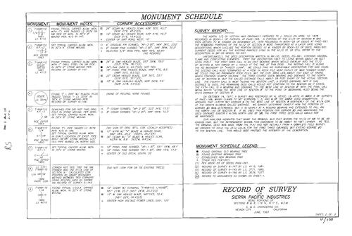
Record of Survey Book 11, pg. 100 (1993)
NC Recorders Map Survey 11-100-2:
Sierra Pacific Industries. T16N R11E Sec. 8. T16N R11E Sec. 9. Lowell Hill Rd.
NC Recorders Map Survey 11-100-2:
Sierra Pacific Industries. T16N R11E Sec. 8. T16N R11E Sec. 9. Lowell Hill Rd.
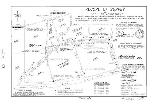
Record of Survey Book 11, pg. 101 (1993)
NC Recorders Map Survey 11-101:
T16N R9E Sec. 8. Red Dog Rd.. Silver Willow Lane. John Muir Lane. Tootle, Glenda M.
NC Recorders Map Survey 11-101:
T16N R9E Sec. 8. Red Dog Rd.. Silver Willow Lane. John Muir Lane. Tootle, Glenda M.
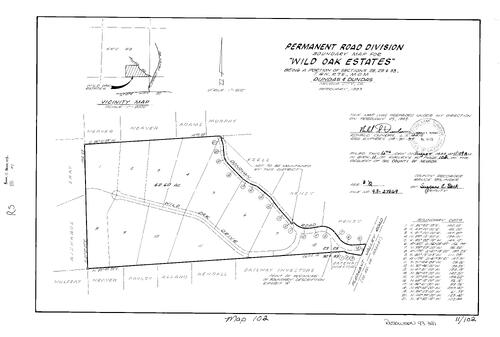
Record of Survey Book 11, pg. 102 (1993)
NC Recorders Map Survey 11-102:
Wild Oaks Estates Permanent Road Division. T16N R7E Sec, 28. T16N R7E Sec, 29. T16N R7E Sec, 33. Pleasant Valley Rd.. Wild Oak Dr.. Donovan Rd.
NC Recorders Map Survey 11-102:
Wild Oaks Estates Permanent Road Division. T16N R7E Sec, 28. T16N R7E Sec, 29. T16N R7E Sec, 33. Pleasant Valley Rd.. Wild Oak Dr.. Donovan Rd.
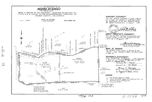
Record of Survey Book 11, pg. 103 (1993)
NC Recorders Map Survey 11-103:
Gore, Charles. T16N R8E Sec. 19. Parcel Map Book 1, pg. 40 parcel 2, 3, 4. Rough & Ready Canal
NC Recorders Map Survey 11-103:
Gore, Charles. T16N R8E Sec. 19. Parcel Map Book 1, pg. 40 parcel 2, 3, 4. Rough & Ready Canal

Record of Survey Book 11, pg. 104 (1993)
NC Recorders Map Survey 11-104:
Roland, Tom. Roland & Bergstrom. Parcel Map Book 16, pg. 64 parcel 3. Parcel Map Book 10 pg. 103 parcel 2. T16N R8E Sec. 31. Ponderosa Way, South. Mineral Survey 3082. State Highway 20
NC Recorders Map Survey 11-104:
Roland, Tom. Roland & Bergstrom. Parcel Map Book 16, pg. 64 parcel 3. Parcel Map Book 10 pg. 103 parcel 2. T16N R8E Sec. 31. Ponderosa Way, South. Mineral Survey 3082. State Highway 20

Record of Survey Book 11, pg. 105 (1993)
NC Recorders Map Survey 11-105:
NC Recorders Map Survey 11-105:
T16N R8E Sec. 19. Hard Rock Rd.. Thurber, Harold. Parcel Map Book 7, pg. 188 parcel C, B. Parcel... See More
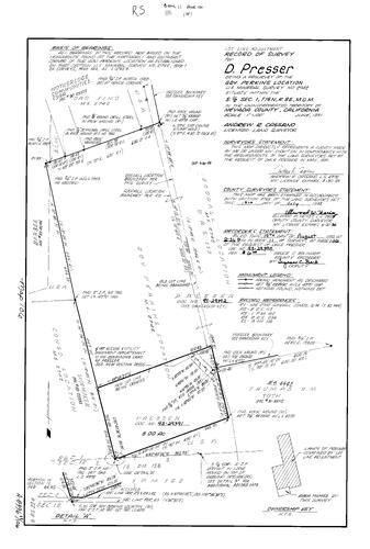
Record of Survey Book 11, pg. 106 (1993)
NC Recorders Map Survey 11-106:
NC Recorders Map Survey 11-106:
Presser, D.. Governor Perkins Location. Mineral Survey 2742. T15N R8E Sec. 1. Oro Fino. Motherlode... See More
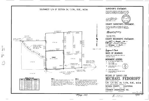
Record of Survey Book 11, pg. 107 (1993)
NC Recorders Map Survey 11-107:
Fedoroff, Micael. T17N R9E Sec. 34. Parcel Map Book 5, pg. 46. Parcel Map Book 6, pg. 200. Parcel Map Book 8, pg. 34. Parcel Map Book 10, pg. 243
NC Recorders Map Survey 11-107:
Fedoroff, Micael. T17N R9E Sec. 34. Parcel Map Book 5, pg. 46. Parcel Map Book 6, pg. 200. Parcel Map Book 8, pg. 34. Parcel Map Book 10, pg. 243
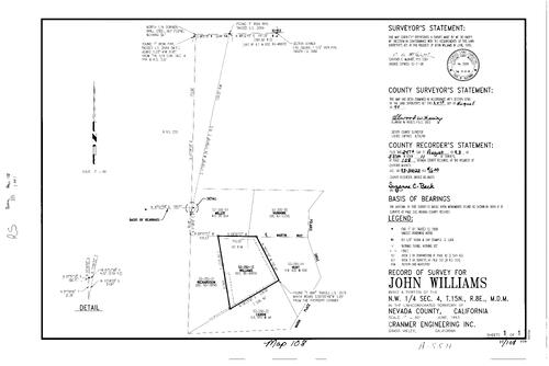
Record of Survey Book 11, pg. 108(1993)
NC Recorders Map Survey 11-108:
Williams, John. T15N R8E Sec. 4. Marin Pl.. Polaris Dr.
NC Recorders Map Survey 11-108:
Williams, John. T15N R8E Sec. 4. Marin Pl.. Polaris Dr.
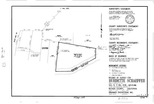
Record of Survey Book 11, pg. 109(1993)
NC Recorders Map Survey 11-109:
Schaeffer, Burdette. T13M R8E Sec. 5. Bear River. Nevada/Placer County line
NC Recorders Map Survey 11-109:
Schaeffer, Burdette. T13M R8E Sec. 5. Bear River. Nevada/Placer County line

Record of Survey Book 11, pg. 110(1993)
NC Recorders Map Survey 11-110:
Sierra Pacific Industries. T17N R14E Sec. 18
NC Recorders Map Survey 11-110:
Sierra Pacific Industries. T17N R14E Sec. 18
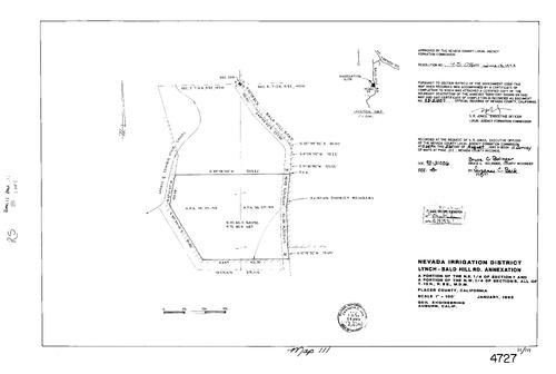
Record of Survey Book 11, pg. 111(1993)
NC Recorders Map Survey 11-111:
Nevada Irrigation District Annexation-Lynch-Bald H. Combie Ophir Canal. Bald Hill Rd.. Moran Dr.
NC Recorders Map Survey 11-111:
Nevada Irrigation District Annexation-Lynch-Bald H. Combie Ophir Canal. Bald Hill Rd.. Moran Dr.
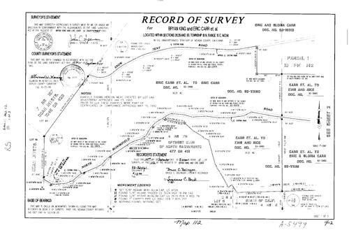
Record of Survey Book 11, pg. 112 (1993)
NC Recorders Map Survey 11-112-1:
King, Bryan. Carr, Eric. T18N R10E Sec. 28. T18N R10E Sec. 29. T18N R10E Sec. 30. Snow Tent Rd.. North Bloomfield Rd.. Optimist Club of North Sacramento. Parcel Map Book 18, pg. 142 parcel 1
NC Recorders Map Survey 11-112-1:
King, Bryan. Carr, Eric. T18N R10E Sec. 28. T18N R10E Sec. 29. T18N R10E Sec. 30. Snow Tent Rd.. North Bloomfield Rd.. Optimist Club of North Sacramento. Parcel Map Book 18, pg. 142 parcel 1
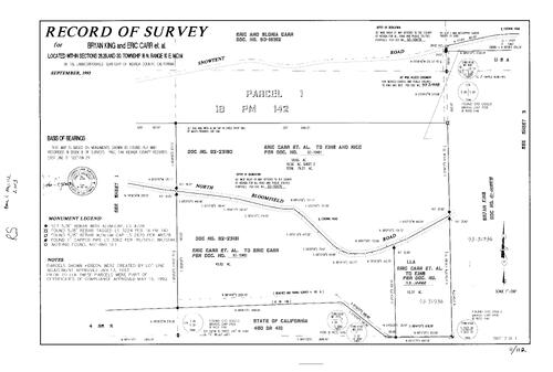
Record of Survey Book 11, pg. 112 (1993)
NC Recorders Map Survey 11-112-2:
King, Bryan. Carr, Eric. T18N R10E Sec. 28. T18N R10E Sec. 29. T18N R10E Sec. 30. Snow Tent Rd.. North Bloomfield Rd.. Optimist Club of North Sacramento. Parcel Map Book 18, pg. 142 parcel 1
NC Recorders Map Survey 11-112-2:
King, Bryan. Carr, Eric. T18N R10E Sec. 28. T18N R10E Sec. 29. T18N R10E Sec. 30. Snow Tent Rd.. North Bloomfield Rd.. Optimist Club of North Sacramento. Parcel Map Book 18, pg. 142 parcel 1
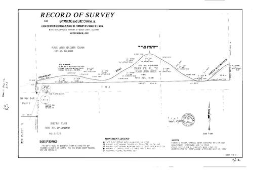
Record of Survey Book 11, pg. 112 (1993)
NC Recorders Map Survey 11-112-3:
King, Bryan. Carr, Eric. T18N R10E Sec. 28. T18N R10E Sec. 29. T18N R10E Sec. 30. Snow Tent Rd.. North Bloomfield Rd.. Optimist Club of North Sacramento. Parcel Map Book 18, pg. 142 parcel 1
NC Recorders Map Survey 11-112-3:
King, Bryan. Carr, Eric. T18N R10E Sec. 28. T18N R10E Sec. 29. T18N R10E Sec. 30. Snow Tent Rd.. North Bloomfield Rd.. Optimist Club of North Sacramento. Parcel Map Book 18, pg. 142 parcel 1

Record of Survey Book 11, pg. 113 (1993)
NC Recorders Map Survey 11-113:
NC Recorders Map Survey 11-113:
Lotto, Mike. T14N R8E Sec. 33. Parcel Map Book 14, pg. 129 parcel A, B. Rincon Rd.. Connie Ct... See More
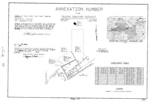
Record of Survey Book 11, pg. 114 (1993)
NC Recorders Map Survey 11-114:
Truckee Sanitary District Annexation. Cheyney Dr.. Glenshire Dr.
NC Recorders Map Survey 11-114:
Truckee Sanitary District Annexation. Cheyney Dr.. Glenshire Dr.
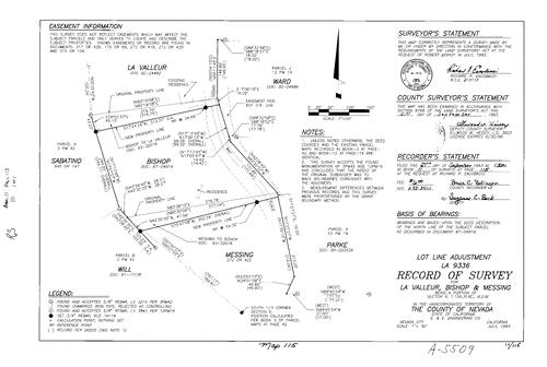
Record of Survey Book 11, pg. 115 (1993)
NC Recorders Map Survey 11-115:
Bishop, Robert. La Valleur. Bishop & Messing. T15N R9E Sec. 6
NC Recorders Map Survey 11-115:
Bishop, Robert. La Valleur. Bishop & Messing. T15N R9E Sec. 6
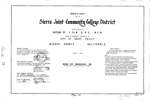
Record of Survey Book 11, pg. 116 (1993)
NC Recorders Map Survey 11-116-1:
NC Recorders Map Survey 11-116-1:
Sierra Joint Community College District. T16N R8E Sec. 23. Ridge Rd.. Dorsey Dr. (aka Sierra College Dr.). Sierra College Dr. (aka Dorsey Dr.). Nevada Joint Union High School District. Main St., East (Grass Valley)... See More
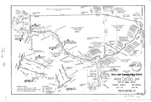
Record of Survey Book 11, pg. 116 (1993)
NC Recorders Map Survey 11-116-2:
NC Recorders Map Survey 11-116-2:
Sierra Joint Community College District. T16N R8E Sec. 23. Ridge Rd.. Dorsey Dr. (aka Sierra College Dr.). Sierra College Dr. (aka Dorsey Dr.). Nevada Joint Union High School District. Main St., East (Grass Valley)... See More
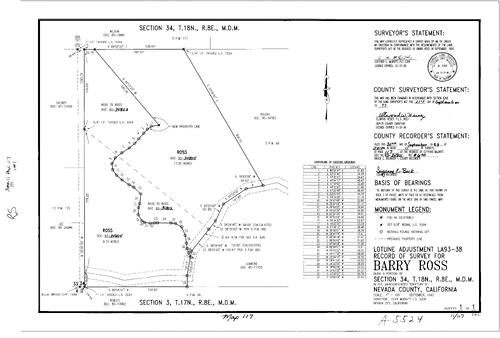
Record of Survey Book 11, pg. 117 (1993)
NC Recorders Map Survey 11-117:
Ross, Barry. T18N R8E Sec. 34. Parcel Map Book 3, pg. 69
NC Recorders Map Survey 11-117:
Ross, Barry. T18N R8E Sec. 34. Parcel Map Book 3, pg. 69
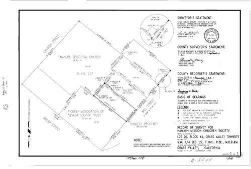
Record of Survey Book 11, pg. 118 (1993)
NC Recorders Map Survey 11-118:
Church St., South (Grass Valley). Emmanuel Episcopal Church. Pioneer Association of Nevada Co. Trust. Walsh St.. Mill St.. Hawaiian Mission Children Society. Grass Valley Townsite Block 44 lot 20. T16N R8E Sec. 27
NC Recorders Map Survey 11-118:
Church St., South (Grass Valley). Emmanuel Episcopal Church. Pioneer Association of Nevada Co. Trust. Walsh St.. Mill St.. Hawaiian Mission Children Society. Grass Valley Townsite Block 44 lot 20. T16N R8E Sec. 27
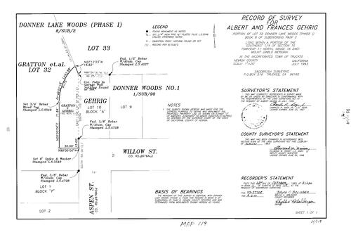
Record of Survey Book 11, pg. 119 (1993)
NC Recorders Map Survey 11-119:
Gehrig, Albert & Frances. Donner Lake Woods #1 lot 32 & Block A lot 10. Subdivision Book 2, pg. 8 lot 32. T17N R15E Sec. 15. Aspen St.. Willow St.
NC Recorders Map Survey 11-119:
Gehrig, Albert & Frances. Donner Lake Woods #1 lot 32 & Block A lot 10. Subdivision Book 2, pg. 8 lot 32. T17N R15E Sec. 15. Aspen St.. Willow St.

Record of Survey Book 11, pg. 120 (1993)
NC Recorders Map Survey 11-120:
T14N R8E Sec. 32. Elson, David. State Highway 49 (frontage road). Parcel Map Book 14, pg. 25 parcel 3. Parcel Map Book 11, pg. 185 parcel 2. Gautier Dr.
NC Recorders Map Survey 11-120:
T14N R8E Sec. 32. Elson, David. State Highway 49 (frontage road). Parcel Map Book 14, pg. 25 parcel 3. Parcel Map Book 11, pg. 185 parcel 2. Gautier Dr.

Record of Survey Book 11, pg. 121 (1993)
NC Recorders Map Survey 11-121:
Wolf, Warren. T16N R10E Sec. 31. Red Dog Rd.
NC Recorders Map Survey 11-121:
Wolf, Warren. T16N R10E Sec. 31. Red Dog Rd.
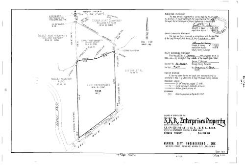
Record of Survey Book 11, pg. 122 (1993)
NC Recorders Map Survey 11-122:
NC Recorders Map Survey 11-122:
K. K. R. Enterprises Property. T16N R8E Sec. 23. Sierra Joint Community College District. Grass Valley Ditch. Litton et al. English Mountain Ranch. Main St., East (Grass Valley). Dorsey Dr. aka Sierra College Dr... See More

Record of Survey Book 11, pg. 123 (1993)
NC Recorders Map Survey 11-123:
Dorchester Dr.. Geney, David M. & Kathleen A.. T17N R17E Sec. 5. San Francisco Fly Casting Club. Glenshire Mutual Water Co.. Subdivision Book 4, pg. 24 lot F
NC Recorders Map Survey 11-123:
Dorchester Dr.. Geney, David M. & Kathleen A.. T17N R17E Sec. 5. San Francisco Fly Casting Club. Glenshire Mutual Water Co.. Subdivision Book 4, pg. 24 lot F
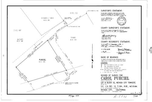
Record of Survey Book 11, pg. 124 (1993)
NC Recorders Map Survey 11-124:
Purciel, Carol. Nevada City Townsite Block 52 lot 8. T16N R8E Sec. 12
NC Recorders Map Survey 11-124:
Purciel, Carol. Nevada City Townsite Block 52 lot 8. T16N R8E Sec. 12

Record of Survey Book 11, pg. 125 (1993)
NC Recorders Map Survey 11-125:
Ritzman, Les. Grass Valley South Townsite Block 7 lot 9, 10. Auburn St., South. Kate Hayes St.. Berryman St.
NC Recorders Map Survey 11-125:
Ritzman, Les. Grass Valley South Townsite Block 7 lot 9, 10. Auburn St., South. Kate Hayes St.. Berryman St.
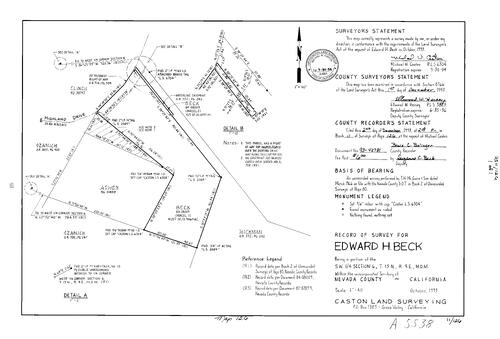
Record of Survey Book 11, pg. 126 (1993)
NC Recorders Map Survey 11-126:
Beck, Edward H.. T15N R9E Sec. 6. Highland Dr.
NC Recorders Map Survey 11-126:
Beck, Edward H.. T15N R9E Sec. 6. Highland Dr.
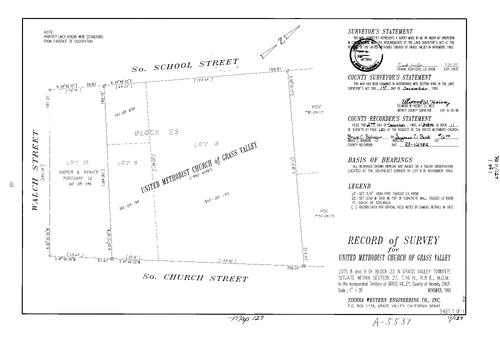
Record of Survey Book 11, pg. 127 (1993)
NC Recorders Map Survey 11-127:
United Methodist Church (Grass Valley). Grass Valley Townsite Block 23 lot 8,9. T16N R8E Sec. 27. School St., South (Grass Valley). Church St., South (Grass Valley). Walsh St.. Hooper & Weaver Mortuary Co.
NC Recorders Map Survey 11-127:
United Methodist Church (Grass Valley). Grass Valley Townsite Block 23 lot 8,9. T16N R8E Sec. 27. School St., South (Grass Valley). Church St., South (Grass Valley). Walsh St.. Hooper & Weaver Mortuary Co.
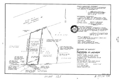
Record of Survey Book 11, pg. 128 (1993)
NC Recorders Map Survey 11-128:
Jackson, Theodora M.. South Yuba Placer Mine. Nevada City Annexation No. 29. T16N R8E Sec. 12. State Highway 49. Parcel Map Book 4, pg. 170 parcel 1. Parcel Map Book 7, pg. 103. Gray, Ann
NC Recorders Map Survey 11-128:
Jackson, Theodora M.. South Yuba Placer Mine. Nevada City Annexation No. 29. T16N R8E Sec. 12. State Highway 49. Parcel Map Book 4, pg. 170 parcel 1. Parcel Map Book 7, pg. 103. Gray, Ann
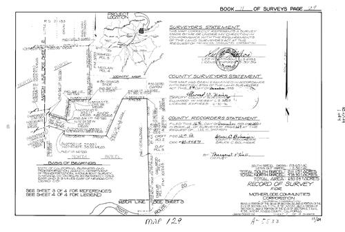
Record of Survey Book 11, pg. 129 (1993)
NC Recorders Map Survey 11-129-1:
NC Recorders Map Survey 11-129-1:
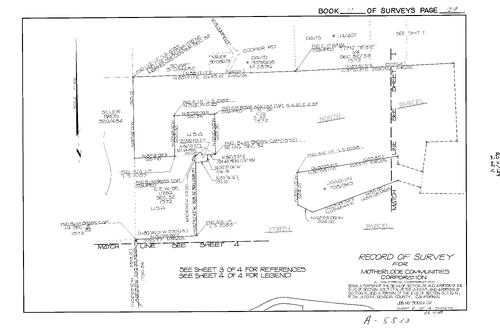
Motherlode Communities Corp.. T17N R9E Sec. 32. T17N R9E Sec. 33. T16N R9E Sec. 4. T16N R9E Sec. 5. State Highway 20. Parcel Map Book 10, pg. 243 parcel A, D. Parcel Map Book 7, pg. 3 parcel 1-3. Siller Bros.. North... See More
Record of Survey Book 11, pg. 129 (1993)
NC Recorders Map Survey 11-129-2:
NC Recorders Map Survey 11-129-2:
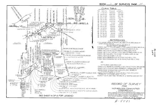
Motherlode Communities Corp.. T17N R9E Sec. 32. T17N R9E Sec. 33. T16N R9E Sec. 4. T16N R9E Sec. 5. State Highway 20. Parcel Map Book 10, pg. 243 parcel A, D. Parcel Map Book 7, pg. 3 parcel 1-3. Siller Bros.. North... See More
Record of Survey Book 11, pg. 129 (1993)
NC Recorders Map Survey 11-129-3:
NC Recorders Map Survey 11-129-3:
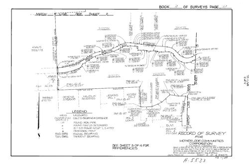
Motherlode Communities Corp.. T17N R9E Sec. 32. T17N R9E Sec. 33. T16N R9E Sec. 4. T16N R9E Sec. 5. State Highway 20. Parcel Map Book 10, pg. 243 parcel A, D. Parcel Map Book 7, pg. 3 parcel 1-3. Siller Bros.. North... See More
Record of Survey Book 11, pg. 129 (1993)
NC Recorders Map Survey 11-129-4:
NC Recorders Map Survey 11-129-4:
Motherlode Communities Corp.. T17N R9E Sec. 32. T17N R9E Sec. 33. T16N R9E Sec. 4. T16N R9E Sec. 5. State Highway 20. Parcel Map Book 10, pg. 243 parcel A, D. Parcel Map Book 7, pg. 3 parcel 1-3. Siller Bros.. North... See More

Record of Survey Book 11, pg. 130 (1993)
NC Recorders Map Survey 11-130:
Starzmann, G. F.. T18N R9E Sec. 29
NC Recorders Map Survey 11-130:
Starzmann, G. F.. T18N R9E Sec. 29
Record of Survey Book 11, pg. 131 (1993)
NC Recorders Map Survey 11-131:
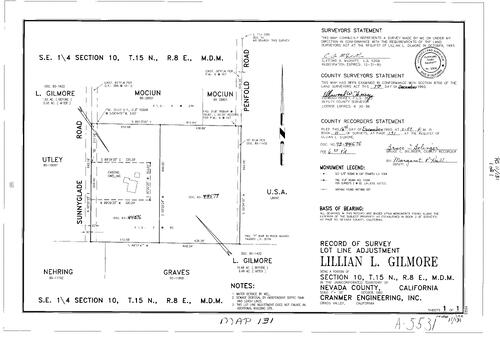
Gilmore, Lillian L.. T15N R8E Sec. 10. Sunnyglade Rd.. Penfold Rd.
NC Recorders Map Survey 11-131:
Gilmore, Lillian L.. T15N R8E Sec. 10. Sunnyglade Rd.. Penfold Rd.
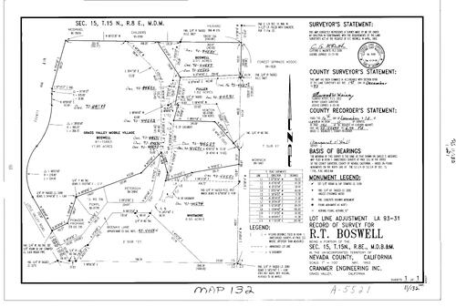
Record of Survey Book 11, pg. 132 (1993)
NC Recorders Map Survey 11-132:
Boswell, R. T.. T15N R8E Sec. 15. Grass Valley Mobile Village. Little Valley Rd.. Pioneer Propane. Beeman Lane. Subdivision Book 2, pg. 101. Forest Springs Assoc.
NC Recorders Map Survey 11-132:
Boswell, R. T.. T15N R8E Sec. 15. Grass Valley Mobile Village. Little Valley Rd.. Pioneer Propane. Beeman Lane. Subdivision Book 2, pg. 101. Forest Springs Assoc.
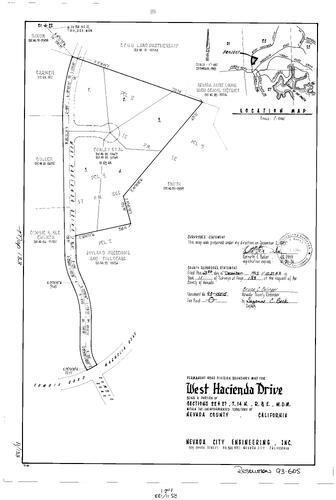
Record of Survey Book 11, pg. 133 (1993)
NC Recorders Map Survey 11-133:
NC Recorders Map Survey 11-133:
Nevada Joint Union High School District. S. F. U. U. Land Partnership. Parcel Map Book 17, pg. 245... See More
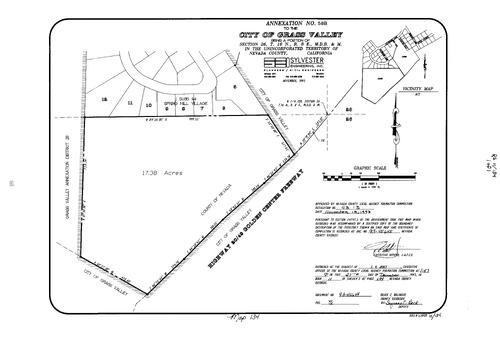
Record of Survey Book 11, pg. 134 (1993)
NC Recorders Map Survey 11-134:
Grass Valley Annexation No. 58B. T16N R8E Sec. 26. Golden Center Freeway. Grass Valley Annexation No. 28. Subdivision Book 1, pg. 94 lot 5-12
NC Recorders Map Survey 11-134:
Grass Valley Annexation No. 58B. T16N R8E Sec. 26. Golden Center Freeway. Grass Valley Annexation No. 28. Subdivision Book 1, pg. 94 lot 5-12
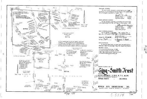
Record of Survey Book 11, pg. 135 (1994)
NC Recorders Map Survey 11-135:
Ging-Smith Trust. T14N R7E Sec. 11. Clayton Rd.. Cole Ditch. Foote Trust. Parcel Map Book 18, pg. 186 parcel 2, 3
NC Recorders Map Survey 11-135:
Ging-Smith Trust. T14N R7E Sec. 11. Clayton Rd.. Cole Ditch. Foote Trust. Parcel Map Book 18, pg. 186 parcel 2, 3

Record of Survey Book 11, pg. 136 (1994)
NC Recorders Map Survey 11-136:
Agostini, George. T16N R9E Sec. 6. Lewis Rd.. McProud, C. H.. Solensky, S.. Curry, D.. Gatien, R.. Ashurst, R.. Hall, C.
NC Recorders Map Survey 11-136:
Agostini, George. T16N R9E Sec. 6. Lewis Rd.. McProud, C. H.. Solensky, S.. Curry, D.. Gatien, R.. Ashurst, R.. Hall, C.
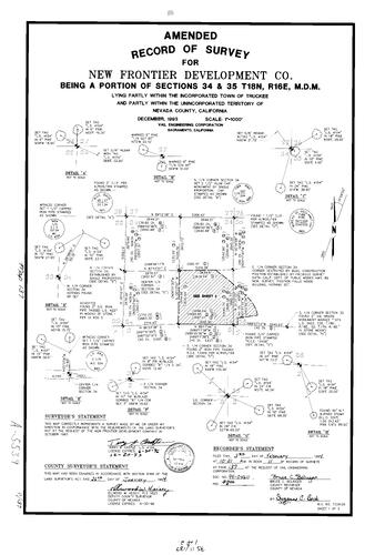
Record of Survey Book 11, pg. 137 (1994)
NC Recorders Map Survey 11-137-1:
NC Recorders Map Survey 11-137-1:
New Frontier Development Co. (amended survey). T18N R16E Sec. 34. T18N R16E Sec. 35. State Highway... See More

Record of Survey Book 11, pg. 137 (1994)
NC Recorders Map Survey 11-137-2:
NC Recorders Map Survey 11-137-2:
New Frontier Development Co. (amended survey). T18N R16E Sec. 34. T18N R16E Sec. 35. State Highway... See More

Record of Survey Book 11, pg. 138 (1994)
NC Recorders Map Survey 11-138:
Longan, Suzanne. Subdivision Book 5, pg. 69 lot 46, 47. T16N R7E Sec. 17. Wildwood Heights Dr.
NC Recorders Map Survey 11-138:
Longan, Suzanne. Subdivision Book 5, pg. 69 lot 46, 47. T16N R7E Sec. 17. Wildwood Heights Dr.
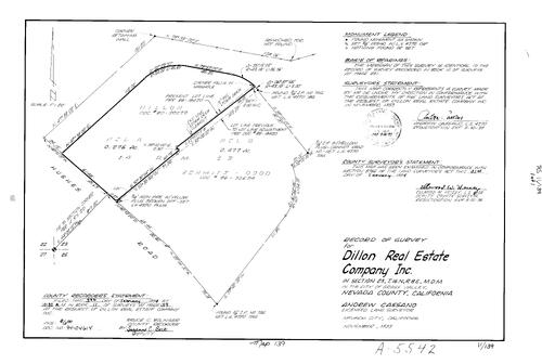
Record of Survey Book 11, pg. 139 (1994)
NC Recorders Map Survey 11-139:
Dillon Real Estate Co. Inc.. T16N R8E Sec. 23. Hughes Rd.
NC Recorders Map Survey 11-139:
Dillon Real Estate Co. Inc.. T16N R8E Sec. 23. Hughes Rd.

Record of Survey Book 11, pg. 140 (1994)
NC Recorders Map Survey 11-140:
Zink, Helen. T16N R7E Sec. 21. Haddow, Virginia. Subdivision Book 4, pg. 8 lots 1981, 1982. Lake Wildwood Unit 4 lot 1981, 1982
NC Recorders Map Survey 11-140:
Zink, Helen. T16N R7E Sec. 21. Haddow, Virginia. Subdivision Book 4, pg. 8 lots 1981, 1982. Lake Wildwood Unit 4 lot 1981, 1982
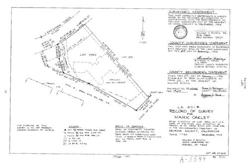
Record of Survey Book 11, pg. 141 (1994)
NC Recorders Map Survey 11-141:
Oakley, Mark. Lakeshore North. Lake of the Pines Unit 13-A lot 1950. Lake of the Pines Tennis Courts
NC Recorders Map Survey 11-141:
Oakley, Mark. Lakeshore North. Lake of the Pines Unit 13-A lot 1950. Lake of the Pines Tennis Courts

Record of Survey Book 11, pg. 142 (1994)
NC Recorders Map Survey 11-142-1:
NC Recorders Map Survey 11-142-1:
United States Forest Service. Holden Cadastral Survey. T18N R9E Sec. 25. T18N R9E Sec. 26. T18N R9E Sec. 27. T18N R9E Sec. 28. T18N R9E Sec. 29. T18N R9E Sec. 34. Parcel Map Book 7, pg. 26 parcel A, D. Parcel Map Book... See More
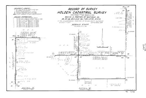
Record of Survey Book 11, pg. 142 (1994)
NC Recorders Map Survey 11-142-2:
NC Recorders Map Survey 11-142-2:
United States Forest Service. Holden Cadastral Survey. T18N R9E Sec. 25. T18N R9E Sec. 26. T18N R9E Sec. 27. T18N R9E Sec. 28. T18N R9E Sec. 29. T18N R9E Sec. 34. Parcel Map Book 7, pg. 26 parcel A, D. Parcel Map Book... See More

Record of Survey Book 11, pg. 142 (1994)
NC Recorders Map Survey 11-142-3:
NC Recorders Map Survey 11-142-3:
United States Forest Service. Holden Cadastral Survey. T18N R9E Sec. 25. T18N R9E Sec. 26. T18N R9E Sec. 27. T18N R9E Sec. 28. T18N R9E Sec. 29. T18N R9E Sec. 34. Parcel Map Book 7, pg. 26 parcel A, D. Parcel Map Book... See More

Record of Survey Book 11, pg. 143 (1994)
NC Recorders Map Survey 11-143:
Peach, Edward & Nancy. Peach, Jeff & Gale. Peach, Christine Trust. Record of Survey Book 6, pg. 218 lot 6. Banner Terrace Lot 6. T16N R9E Sec. 22
NC Recorders Map Survey 11-143:
Peach, Edward & Nancy. Peach, Jeff & Gale. Peach, Christine Trust. Record of Survey Book 6, pg. 218 lot 6. Banner Terrace Lot 6. T16N R9E Sec. 22

Record of Survey Book 11, pg. 144 (1994)
NC Recorders Map Survey 11-144:
Stafford, Robert. T15N R9E Sec. 5. State Highway 174
NC Recorders Map Survey 11-144:
Stafford, Robert. T15N R9E Sec. 5. State Highway 174
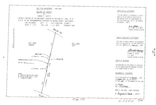
Record of Survey Book 11, pg. 145 (1994)
NC Recorders Map Survey 11-145:
Crotty, Edmond F.. T16N R7E Sec. 21. Swallow Way. Subdivision Book 4, pg. 7 lot 1439, 1440
NC Recorders Map Survey 11-145:
Crotty, Edmond F.. T16N R7E Sec. 21. Swallow Way. Subdivision Book 4, pg. 7 lot 1439, 1440
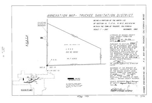
Record of Survey Book 11, pg. 146 (1994)
NC Recorders Map Survey 11-146:
Truckee Sanitation District Annexation. Tundra Dr.. T17N R16E Sec. 10
NC Recorders Map Survey 11-146:
Truckee Sanitation District Annexation. Tundra Dr.. T17N R16E Sec. 10
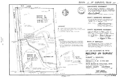
Record of Survey Book 11, pg. 147 (1994)
NC Recorders Map Survey 11-147:
Newkirk, Robert L.. Parcel Map Book 17, pg. 234 parcel 1, 2. T15N R8E Sec. 15. Auburn Rd.. Parcel Map Book 18, pg. 170 parcel 2, 3. Pingree Rd.
NC Recorders Map Survey 11-147:
Newkirk, Robert L.. Parcel Map Book 17, pg. 234 parcel 1, 2. T15N R8E Sec. 15. Auburn Rd.. Parcel Map Book 18, pg. 170 parcel 2, 3. Pingree Rd.
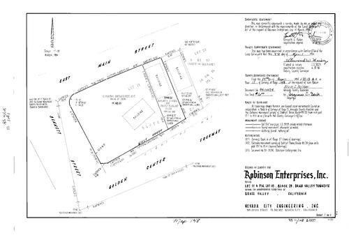
Record of Survey Book 11, pg. 148 (1994)
NC Recorders Map Survey 11-148:
Robinson Enterprises Inc.. Grass Valley Townsite Block 29 lot 10, 11. Golden Center Freeway. Bennett St.. Main St., East (Grass Valley)
NC Recorders Map Survey 11-148:
Robinson Enterprises Inc.. Grass Valley Townsite Block 29 lot 10, 11. Golden Center Freeway. Bennett St.. Main St., East (Grass Valley)

Record of Survey Book 11, pg. 149 (1994)
NC Recorders Map Survey 11-149:
NC Recorders Map Survey 11-149:
Spring St. (Nevada City). Cabin St.. Pine St., South (Nevada City). Deer Creek. Tribulation Trail... See More
Record of Survey Book 11, pg. 150 (1994)
NC Recorders Map Survey 11-150:
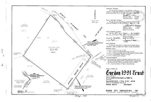
Gordon 1991 Trust. Subdivision Book 6, pg. 16 lot 9. T15N R9E Sec. 4. State Highway 174. You Bet Rd.. Narrow Gauge Dr.
NC Recorders Map Survey 11-150:
Gordon 1991 Trust. Subdivision Book 6, pg. 16 lot 9. T15N R9E Sec. 4. State Highway 174. You Bet Rd.. Narrow Gauge Dr.

Record of Survey Book 11, pg. 151 (1994)
NC Recorders Map Survey 11-151:
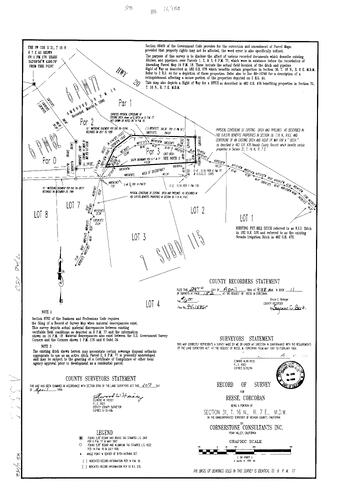
Lake Wildwood Association. Laurel Hill Loop. Subdivision Book 3, pg. 38 lots 602-608 & parcel I. Hideaway Park. Parcel Map Book 3, pg. 238 pg. 2. T16N R7E Sec. 16. T16N R7E Sec. 21
NC Recorders Map Survey 11-151:
Lake Wildwood Association. Laurel Hill Loop. Subdivision Book 3, pg. 38 lots 602-608 & parcel I. Hideaway Park. Parcel Map Book 3, pg. 238 pg. 2. T16N R7E Sec. 16. T16N R7E Sec. 21
Record of Survey Book 11, pg. 152 (1994)
NC Recorders Map Survey 11-152:
NC Recorders Map Survey 11-152:
Parcel Map Book 6, pg. 77 Amended parcels 1-3. Parcel Map book 6, pg. 82. Subdivision Book 7, pg... See More

Record of Survey Book 11, pg. 153 (1994)
NC Recorders Map Survey 11-153:
Watkins, Ronald. T17N R15E Sec. 14 lot 9. South Shore Dr.. Nevada/Placer County Line. Donner Lake
NC Recorders Map Survey 11-153:
Watkins, Ronald. T17N R15E Sec. 14 lot 9. South Shore Dr.. Nevada/Placer County Line. Donner Lake

Record of Survey Book 11, pg. 154 (1994)
NC Recorders Map Survey 11-154:
Northwoods Blvd.. Tahoe Donner Unit No. 3 lot 259. Nevada County. T17N R16E Sec. 6
NC Recorders Map Survey 11-154:
Northwoods Blvd.. Tahoe Donner Unit No. 3 lot 259. Nevada County. T17N R16E Sec. 6

Record of Survey Book 11, pg. 155 (1994)
NC Recorders Map Survey 11-155:
T16N R8E Sec. 23. T16N R8E Sec. 24. Sutton Way. Brunswick Rd.. Parcel Map Book 3, pg. 177. Parcel Map Book 4, pg. 214. Golden Center Freeway
NC Recorders Map Survey 11-155:
T16N R8E Sec. 23. T16N R8E Sec. 24. Sutton Way. Brunswick Rd.. Parcel Map Book 3, pg. 177. Parcel Map Book 4, pg. 214. Golden Center Freeway

Record of Survey Book 11, pg. 156 (1994)
NC Recorders Map Survey 11-156-1:
Nevada County. South Shore Dr.. Point Dr.. Donner Lake Villa Tract No. 1 Block 1 lot 5. Subdivision Book 1, pg. 34 Block 1 lot 5. T17N R15E Sec. 14
NC Recorders Map Survey 11-156-1:
Nevada County. South Shore Dr.. Point Dr.. Donner Lake Villa Tract No. 1 Block 1 lot 5. Subdivision Book 1, pg. 34 Block 1 lot 5. T17N R15E Sec. 14

Record of Survey Book 11, pg. 156 (1994)
NC Recorders Map Survey 11-156-2:
Nevada County. South Shore Dr.. Point Dr.. Donner Lake Villa Tract No. 1 Block 1 lot 5. Subdivision Book 1, pg. 34 Block 1 lot 5. T17N R15E Sec. 14
NC Recorders Map Survey 11-156-2:
Nevada County. South Shore Dr.. Point Dr.. Donner Lake Villa Tract No. 1 Block 1 lot 5. Subdivision Book 1, pg. 34 Block 1 lot 5. T17N R15E Sec. 14
Record of Survey Book 11, pg. 157 (1994)
NC Recorders Map Survey 11-157-1:
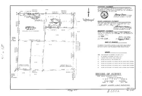
Langner, Brad et al. T18N R12E Sec. 5. Weaver Lake. McMurray Lake. Nevada Irrigation District. Bowman Reservoir
NC Recorders Map Survey 11-157-1:
Langner, Brad et al. T18N R12E Sec. 5. Weaver Lake. McMurray Lake. Nevada Irrigation District. Bowman Reservoir
Record of Survey Book 11, pg. 157 (1994)
NC Recorders Map Survey 11-157-2:
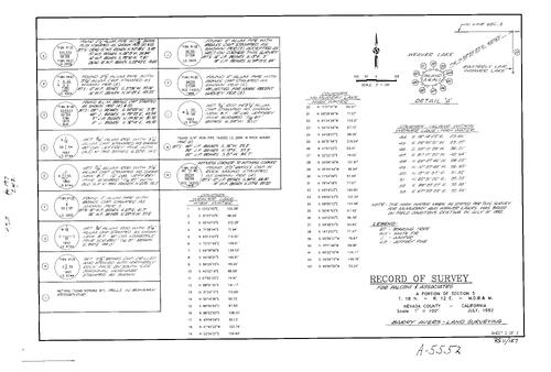
Langner, Brad et al. T18N R12E Sec. 5. Weaver Lake. McMurray Lake. Nevada Irrigation District. Bowman Reservoir
NC Recorders Map Survey 11-157-2:
Langner, Brad et al. T18N R12E Sec. 5. Weaver Lake. McMurray Lake. Nevada Irrigation District. Bowman Reservoir
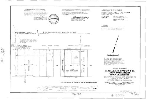
Record of Survey Book 11, pg. 158 (1994)
NC Recorders Map Survey 11-158:
Truckee lots 19, 20, 21. River St., East (Truckee). T17N R6E Sec. 15. Bridge St. (Truckee). Truckee River
NC Recorders Map Survey 11-158:
Truckee lots 19, 20, 21. River St., East (Truckee). T17N R6E Sec. 15. Bridge St. (Truckee). Truckee River
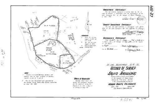
Record of Survey Book 11, pg. 159 (1994)
NC Recorders Map Survey 11-159:
Browning, David. French Corral Townsite Block 1 lots 15, 17, 18. French Corral Townsite Block 1 lot 31 & B. T17N R7E Sec. 26. Pleasant St. (French Corral)
NC Recorders Map Survey 11-159:
Browning, David. French Corral Townsite Block 1 lots 15, 17, 18. French Corral Townsite Block 1 lot 31 & B. T17N R7E Sec. 26. Pleasant St. (French Corral)
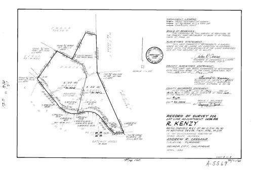
Record of Survey Book 11, pg. 160 (1994)
NC Recorders Map Survey 11-160:
Kenzy, R.. Parcel Map Book 10, pg. 50 parcel B, C. T16N R7E Sec. 28. T16N R7E Sec. 29. Donovan Rd.
NC Recorders Map Survey 11-160:
Kenzy, R.. Parcel Map Book 10, pg. 50 parcel B, C. T16N R7E Sec. 28. T16N R7E Sec. 29. Donovan Rd.

Record of Survey Book 11, pg. 161 (1994)
NC Recorders Map Survey 11-161:
Nevada Irrigation District Annexation-G. V. Group. T16N R8E Sec. 12. T16N R8E Sec. 13. Providence Mine Rd.. Erickson Group Ltd.
NC Recorders Map Survey 11-161:
Nevada Irrigation District Annexation-G. V. Group. T16N R8E Sec. 12. T16N R8E Sec. 13. Providence Mine Rd.. Erickson Group Ltd.

Record of Survey Book 11, pg. 163 (1994)
NC Recorders Map Survey 11-163-1:
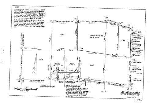
Buckeye Cadastral Survey-Amended. United States Forest Service. T16N R10E Sec. 17. T16N R10E Sec. 18. T16N R10E Sec. 19. T16N R10E Sec. 20. Sierra Pacific Inc.
NC Recorders Map Survey 11-163-1:
Buckeye Cadastral Survey-Amended. United States Forest Service. T16N R10E Sec. 17. T16N R10E Sec. 18. T16N R10E Sec. 19. T16N R10E Sec. 20. Sierra Pacific Inc.
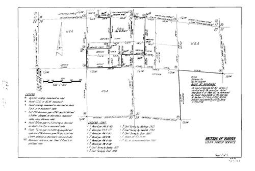
Record of Survey Book 11, pg. 163 (1994)
NC Recorders Map Survey 11-163-2:
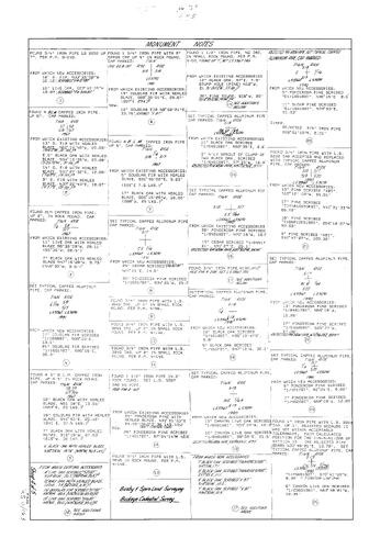
Buckeye Cadastral Survey-Amended. United States Forest Service. T16N R10E Sec. 17. T16N R10E Sec. 18. T16N R10E Sec. 19. T16N R10E Sec. 20. Sierra Pacific Inc.
NC Recorders Map Survey 11-163-2:
Buckeye Cadastral Survey-Amended. United States Forest Service. T16N R10E Sec. 17. T16N R10E Sec. 18. T16N R10E Sec. 19. T16N R10E Sec. 20. Sierra Pacific Inc.
Record of Survey Book 11, pg. 163 (1994)
NC Recorders Map Survey 11-163-3:
Buckeye Cadastral Survey-Amended. United States Forest Service. T16N R10E Sec. 17. T16N R10E Sec. 18. T16N R10E Sec. 19. T16N R10E Sec. 20. Sierra Pacific Inc.
NC Recorders Map Survey 11-163-3:
Buckeye Cadastral Survey-Amended. United States Forest Service. T16N R10E Sec. 17. T16N R10E Sec. 18. T16N R10E Sec. 19. T16N R10E Sec. 20. Sierra Pacific Inc.
Record of Survey Book 11, pg. 163 (1994)
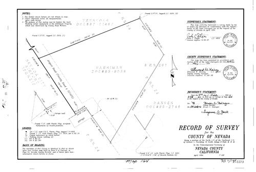
NC Recorders Map Survey 11-163-4:
NC Recorders Map Survey 11-163-4:
Buckeye Cadastral Survey-Amended. United States Forest Service. T16N R10E Sec. 17. T16N R10E Sec... See More

Record of Survey Book 11, pg. 163 (1994)
NC Recorders Map Survey 11-163-5:
NC Recorders Map Survey 11-163-5:
Buckeye Cadastral Survey-Amended. United States Forest Service. T16N R10E Sec. 17. T16N R10E Sec... See More
Record of Survey Book 11, pg. 164 (1994)
NC Recorders Map Survey 11-164:
T16N R8E Sec. 1. Nevada City Airport. Airport Rd. (Nevada City)
NC Recorders Map Survey 11-164:
T16N R8E Sec. 1. Nevada City Airport. Airport Rd. (Nevada City)

Record of Survey Book 11, pg. 165 (1994)
NC Recorders Map Survey 11-165-1:
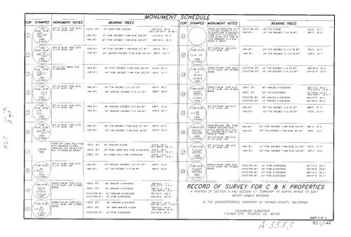
C & K Properties. T18N R15E Sec. 17. S. P. P. Co.
NC Recorders Map Survey 11-165-1:
C & K Properties. T18N R15E Sec. 17. S. P. P. Co.
Record of Survey Book 11, pg. 165 (1994)
NC Recorders Map Survey 11-165-2:
C & K Properties. T18N R15E Sec. 17. S. P. P. Co.
NC Recorders Map Survey 11-165-2:
C & K Properties. T18N R15E Sec. 17. S. P. P. Co.
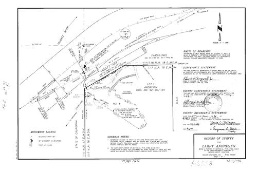
Record of Survey Book 11, pg. 166 (1994)
NC Recorders Map Survey 11-166:
Andresen, Larry. T17N R18E Sec. 6. Southern Pacific Railroad. Iceland. Gray Creek. Truckee River
NC Recorders Map Survey 11-166:
Andresen, Larry. T17N R18E Sec. 6. Southern Pacific Railroad. Iceland. Gray Creek. Truckee River
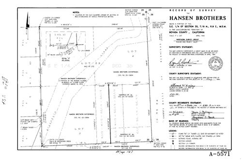
Record of Survey Book 11, pg. 167 (1994)
NC Recorders Map Survey 11-167:
Hansen Brothers Enterprises. T16N R9E Sec. 35. Newark Fluming & Mining Co. Placer Claim
NC Recorders Map Survey 11-167:
Hansen Brothers Enterprises. T16N R9E Sec. 35. Newark Fluming & Mining Co. Placer Claim
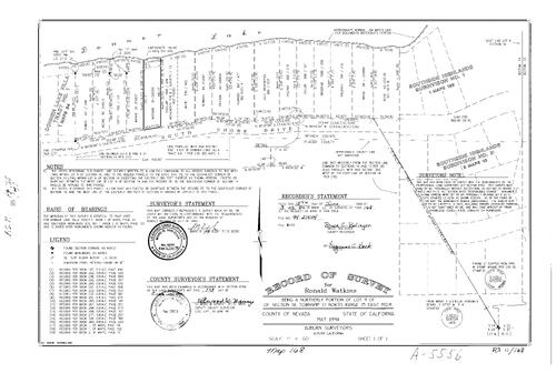
Record of Survey Book 11, pg. 168 (1994)
NC Recorders Map Survey 11-168:
Watkins, Ronald. T17N R15E Sec. 14 lot 9
NC Recorders Map Survey 11-168:
Watkins, Ronald. T17N R15E Sec. 14 lot 9
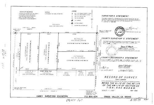
Record of Survey Book 11, pg. 169 (1994)
NC Recorders Map Survey 11-169:
T15N R9E Sec. 22. Labrenz, P.. Orchard Springs Rd.
NC Recorders Map Survey 11-169:
T15N R9E Sec. 22. Labrenz, P.. Orchard Springs Rd.

Record of Survey Book 11, pg. 170 (1994)
NC Recorders Map Survey 11-170:
Jordan, Marill L., Trust of 1985. Tyler-Foote Crossing Rd.. T18N R9E Sec. 28
NC Recorders Map Survey 11-170:
Jordan, Marill L., Trust of 1985. Tyler-Foote Crossing Rd.. T18N R9E Sec. 28

Record of Survey Book 11, pg. 171 (1994)
NC Recorders Map Survey 11-171-1:
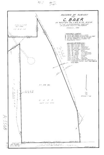
Baer, C.. T16N R7E Sec. 24. Rough & Ready Hwy.. Trauner, J. E.
NC Recorders Map Survey 11-171-1:
Baer, C.. T16N R7E Sec. 24. Rough & Ready Hwy.. Trauner, J. E.
Record of Survey Book 11, pg. 171 (1994)
NC Recorders Map Survey 11-171-2:
Baer, C.. T16N R7E Sec. 24. Rough & Ready Hwy.. Trauner, J. E.
NC Recorders Map Survey 11-171-2:
Baer, C.. T16N R7E Sec. 24. Rough & Ready Hwy.. Trauner, J. E.

Record of Survey Book 11, pg. 172 (1994)
NC Recorders Map Survey 11-172:
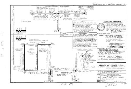
Parcel Map Book 2, pg. 189 parcel 1. Femi, Isoke. Femi & Coelho. Devin Lane. Landon Lane. T15N R8E Sec. 4
NC Recorders Map Survey 11-172:
Parcel Map Book 2, pg. 189 parcel 1. Femi, Isoke. Femi & Coelho. Devin Lane. Landon Lane. T15N R8E Sec. 4
Record of Survey Book 11, pg. 173 (1994)
NC Recorders Map Survey 11-173-1:
NC Recorders Map Survey 11-173-1:
United States Forest Service. T17N R12E Sec. 24. T17N R12E Sec. 25. T17N R12E Sec. 27. T17N R13E Sec. 19. T17N R13E Sec. 30. Tahoe National Forest. Naco West. McFarland Equities Inc.. Nevada/Placer County line... See More

Record of Survey Book 11, pg. 173 (1994)
NC Recorders Map Survey 11-173-2:
NC Recorders Map Survey 11-173-2:
United States Forest Service. T17N R12E Sec. 24. T17N R12E Sec. 25. T17N R12E Sec. 27. T17N R13E Sec. 19. T17N R13E Sec. 30. Tahoe National Forest. Naco West. McFarland Equities Inc.. Nevada/Placer County line... See More

Record of Survey Book 11, pg. 174 (1994)
NC Recorders Map Survey 11-174-1:
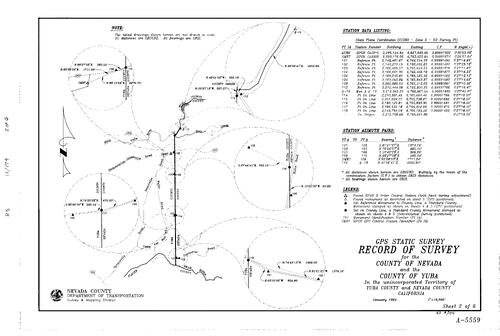
GPS Static Survey. Nevada County. Yuba County. Yuba River. Deer Creek. Hamilton-Smartsville Rd.. Nevada/Yuba County Line. Waldo Rd.. Spenceville Rd.. Camp Far West Rd.. Bear River
NC Recorders Map Survey 11-174-1:
GPS Static Survey. Nevada County. Yuba County. Yuba River. Deer Creek. Hamilton-Smartsville Rd.. Nevada/Yuba County Line. Waldo Rd.. Spenceville Rd.. Camp Far West Rd.. Bear River
Record of Survey Book 11, pg. 174 (1994)
NC Recorders Map Survey 11-174-2:
GPS Static Survey. Nevada County. Yuba County. Yuba River. Deer Creek. Hamilton-Smartsville Rd.. Nevada/Yuba County Line. Waldo Rd.. Spenceville Rd.. Camp Far West Rd.. Bear River
NC Recorders Map Survey 11-174-2:
GPS Static Survey. Nevada County. Yuba County. Yuba River. Deer Creek. Hamilton-Smartsville Rd.. Nevada/Yuba County Line. Waldo Rd.. Spenceville Rd.. Camp Far West Rd.. Bear River

Record of Survey Book 11, pg. 174 (1994)
NC Recorders Map Survey 11-174-3:
GPS Static Survey. Nevada County. Yuba County. Yuba River. Deer Creek. Hamilton-Smartsville Rd.. Nevada/Yuba County Line. Waldo Rd.. Spenceville Rd.. Camp Far West Rd.. Bear River
NC Recorders Map Survey 11-174-3:
GPS Static Survey. Nevada County. Yuba County. Yuba River. Deer Creek. Hamilton-Smartsville Rd.. Nevada/Yuba County Line. Waldo Rd.. Spenceville Rd.. Camp Far West Rd.. Bear River

Record of Survey Book 11, pg. 174 (1994)
NC Recorders Map Survey 11-174-4:
GPS Static Survey. Nevada County. Yuba County. Yuba River. Deer Creek. Hamilton-Smartsville Rd.. Nevada/Yuba County Line. Waldo Rd.. Spenceville Rd.. Camp Far West Rd.. Bear River
NC Recorders Map Survey 11-174-4:
GPS Static Survey. Nevada County. Yuba County. Yuba River. Deer Creek. Hamilton-Smartsville Rd.. Nevada/Yuba County Line. Waldo Rd.. Spenceville Rd.. Camp Far West Rd.. Bear River

Record of Survey Book 11, pg. 174 (1994)
NC Recorders Map Survey 11-174-5:
GPS Static Survey. Nevada County. Yuba County. Yuba River. Deer Creek. Hamilton-Smartsville Rd.. Nevada/Yuba County Line. Waldo Rd.. Spenceville Rd.. Camp Far West Rd.. Bear River
NC Recorders Map Survey 11-174-5:
GPS Static Survey. Nevada County. Yuba County. Yuba River. Deer Creek. Hamilton-Smartsville Rd.. Nevada/Yuba County Line. Waldo Rd.. Spenceville Rd.. Camp Far West Rd.. Bear River

Record of Survey Book 11, pg. 174 (1994)
NC Recorders Map Survey 11-174-6:
GPS Static Survey. Nevada County. Yuba County. Yuba River. Deer Creek. Hamilton-Smartsville Rd.. Nevada/Yuba County Line. Waldo Rd.. Spenceville Rd.. Camp Far West Rd.. Bear River
NC Recorders Map Survey 11-174-6:
GPS Static Survey. Nevada County. Yuba County. Yuba River. Deer Creek. Hamilton-Smartsville Rd.. Nevada/Yuba County Line. Waldo Rd.. Spenceville Rd.. Camp Far West Rd.. Bear River
Record of Survey Book 11, pg. 175 (1994)
NC Recorders Map Survey 11-175:
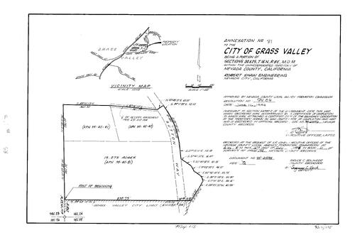
Grass Valley Annexation No. 81. T16N R8E Sec. 24. T16N R8E Sec. 25. Sutton Way
NC Recorders Map Survey 11-175:
Grass Valley Annexation No. 81. T16N R8E Sec. 24. T16N R8E Sec. 25. Sutton Way

Record of Survey Book 11, pg. 176 (1994)
NC Recorders Map Survey 11-176:
NC Recorders Map Survey 11-176:
Grass Valley Annexation No. 58A. T16N R8E Sec. 23. Main St., East (Grass Valley). Presley Way. Catherine Lane. Golden Center Freeway. Grass Valley Annexation No. 32. Grass Valley Annexation No. 28. Grass Valley... See More
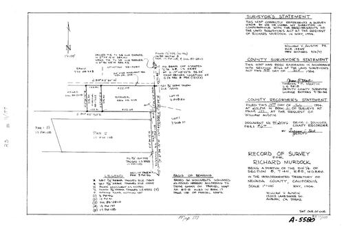
Record of Survey Book 11, pg. 177(1994)
NC Recorders Map Survey 11-177:
Murdock, Richard. T14N R8E Sec. 8. Parcel Map Book 17, pg. 108 parcel 1, 2. Duggans Rd.
NC Recorders Map Survey 11-177:
Murdock, Richard. T14N R8E Sec. 8. Parcel Map Book 17, pg. 108 parcel 1, 2. Duggans Rd.

Record of Survey Book 11, pg. 178 (1994)
NC Recorders Map Survey 11-178:
Ayala, Regan. T16N R8E Sec. 19. Parcel Map Book 7, pg. 168 parcel 1
NC Recorders Map Survey 11-178:
Ayala, Regan. T16N R8E Sec. 19. Parcel Map Book 7, pg. 168 parcel 1
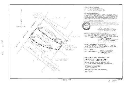
Record of Survey Book 11, pg. 179 (1994)
NC Recorders Map Survey 11-179:
McCoy, Bruce. Grass Valley Block 45 lot 12. Church St., South (Grass Valley). Hart, M.. Strong, R. J. et al. Palmer, H.. Loranger, R. L.. Marquez, W. P.
NC Recorders Map Survey 11-179:
McCoy, Bruce. Grass Valley Block 45 lot 12. Church St., South (Grass Valley). Hart, M.. Strong, R. J. et al. Palmer, H.. Loranger, R. L.. Marquez, W. P.
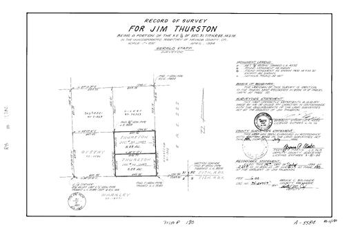
Record of Survey Book 11, pg. 180 (1994)
NC Recorders Map Survey 11-180:
Thurston, Jim. T17N R8E Sec. 31
NC Recorders Map Survey 11-180:
Thurston, Jim. T17N R8E Sec. 31
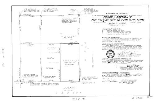
Record of Survey Book 11, pg. 181 (1994)
NC Recorders Map Survey 11-181:
T17N R11E Sec. 14. Snavely, James. Sierra Pacific
NC Recorders Map Survey 11-181:
T17N R11E Sec. 14. Snavely, James. Sierra Pacific
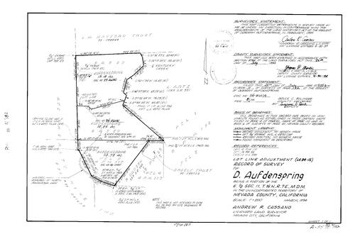
Record of Survey Book 11, pg. 182 (1994)
NC Recorders Map Survey 11-182:
NC Recorders Map Survey 11-182:
Aufdenspring, D.. T16N R7E Sec. 11. Hayford, L. M., Trust. Kentucky Creek. Ponderosa Way, North. Parcel Map Book 4, pg. 110 parcel 3, 4. ATC Realty Nine Inc.. Sagely Trust. Parcel Map Book 13, pg. 55 parcel 2. Parcel... See More
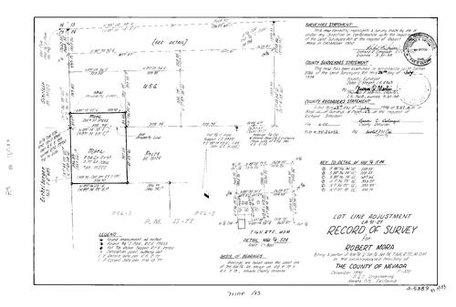
Record of Survey Book 11, pg. 183 (1994)
NC Recorders Map Survey 11-183:
Mora, Robert. T16N R7E Sec. 24. Parcel Map Book 13, pg. 77 parcel 1, 2
NC Recorders Map Survey 11-183:
Mora, Robert. T16N R7E Sec. 24. Parcel Map Book 13, pg. 77 parcel 1, 2
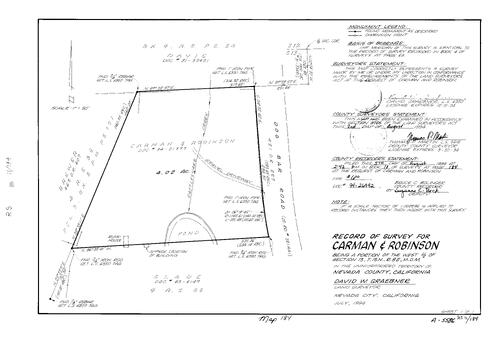
Record of Survey Book 11, pg. 184 (1994)
NC Recorders Map Survey 11-184:
Carman & Robinson. Dog Bar Rd.. Rattlesnake Creek. T15N R8E Sec. 13
NC Recorders Map Survey 11-184:
Carman & Robinson. Dog Bar Rd.. Rattlesnake Creek. T15N R8E Sec. 13
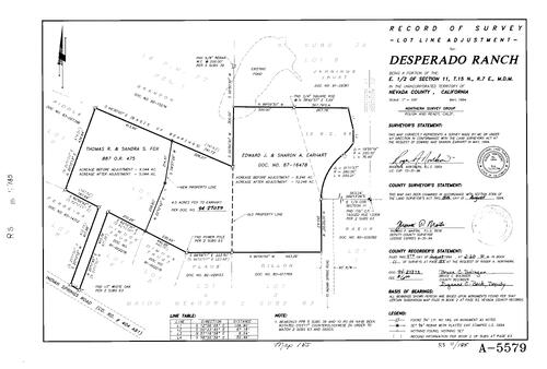
Record of Survey Book 11, pg. 185 (1994)
NC Recorders Map Survey 11-185:
NC Recorders Map Survey 11-185:
Desperago Ranch. T15N R7E Sec. 11. Indian Springs Rd.. Parcel Map Book 16, pg. 27 parcel 1. Subdivision Book 5, pg. 39 lot 6. Subdivision Book 2, pg. 63 lot 1, 3, 4, 5, 6, 7, 8. Fox, Thomas R. & Sandra S.. Earhart,... See More
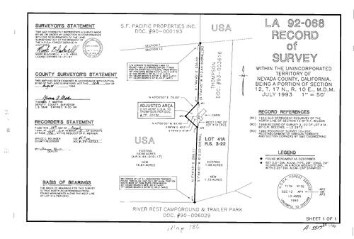
Record of Survey Book 11, pg. 186 (1994)
NC Recorders Map Survey 11-186:
T17N R10E Sec. 12. United States Forest Service. Riverrest Campground & Trailer Park
NC Recorders Map Survey 11-186:
T17N R10E Sec. 12. United States Forest Service. Riverrest Campground & Trailer Park
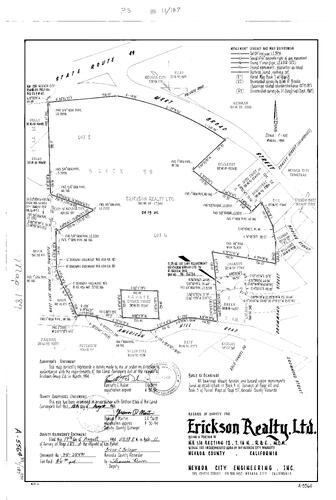
Record of Survey Book 11, pg. 187 (1994)
NC Recorders Map Survey 11-187:
NC Recorders Map Survey 11-187:
State Highway 49. Broad St., West (Nevada City). Conley St.. Erickson Realty Ltd.. Spring St... See More

Record of Survey Book 11, pg. 188 (1994)
NC Recorders Map Survey 11-188:
Browne, Scott & Juan. T16N R9E Sec. 31. T16N R9E Sec. 32. Parcel Map Book 7, pg. 159 parcel A-D. Anchor Lane, Lower. Hollow, The. Parcel Map Book 15, pg. 48 parcel 1, 3. Coronado. Browne, P. S.. Greenhorn Creek, Little
NC Recorders Map Survey 11-188:
Browne, Scott & Juan. T16N R9E Sec. 31. T16N R9E Sec. 32. Parcel Map Book 7, pg. 159 parcel A-D. Anchor Lane, Lower. Hollow, The. Parcel Map Book 15, pg. 48 parcel 1, 3. Coronado. Browne, P. S.. Greenhorn Creek, Little

Record of Survey Book 11, pg. 189 (1994)
NC Recorders Map Survey 11-189:
NC Recorders Map Survey 11-189:
McCourtney Place Permanent Road Division. McCourtney Rd.. Amberley Lane. Quarterhorse Dr.. Parcel... See More

Record of Survey Book 11, pg. 190 (1994)
NC Recorders Map Survey 11-190:
North San Juan Volunteer Fire Protection District. T17N R8E Sec. 10. Oak Tree Rd.. Tyler-Foote Rd.. Parcel Map Book 2, pg. 216 parcel 2, 3, 4. Bellett Trust. Parcel Map Book 2, pg. 215 parcel 4
NC Recorders Map Survey 11-190:
North San Juan Volunteer Fire Protection District. T17N R8E Sec. 10. Oak Tree Rd.. Tyler-Foote Rd.. Parcel Map Book 2, pg. 216 parcel 2, 3, 4. Bellett Trust. Parcel Map Book 2, pg. 215 parcel 4

Record of Survey Book 11, pg. 191 (1994)
NC Recorders Map Survey 11-191:
T16N R9E Sec. 8. Nevada County. Red Dog Rd.
NC Recorders Map Survey 11-191:
T16N R9E Sec. 8. Nevada County. Red Dog Rd.
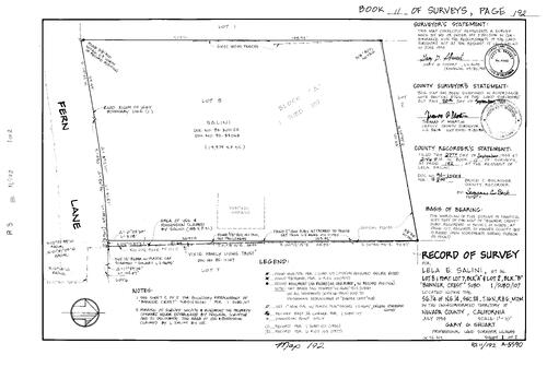
Record of Survey Book 11, pg. 192 (1994)
NC Recorders Map Survey 11-192-1:
Salini, Lela E. et al. Subdivision Book 1, pg. 107 Block A lot 7, 8. Subdivision Book 1, pg. 107 Block B lot 2. Banner Crest. T16N R8E Sec. 24. Fern Lane. Vixie Family Living Trust
NC Recorders Map Survey 11-192-1:
Salini, Lela E. et al. Subdivision Book 1, pg. 107 Block A lot 7, 8. Subdivision Book 1, pg. 107 Block B lot 2. Banner Crest. T16N R8E Sec. 24. Fern Lane. Vixie Family Living Trust
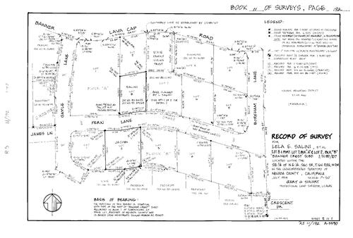
Record of Survey Book 11, pg. 192 (1994)
NC Recorders Map Survey 11-192-2:
Salini, Lela E. et al. Subdivision Book 1, pg. 107 Block A lot 7, 8. Subdivision Book 1, pg. 107 Block B lot 2. Banner Crest. T16N R8E Sec. 24. Fern Lane. Vixie Family Living Trust
NC Recorders Map Survey 11-192-2:
Salini, Lela E. et al. Subdivision Book 1, pg. 107 Block A lot 7, 8. Subdivision Book 1, pg. 107 Block B lot 2. Banner Crest. T16N R8E Sec. 24. Fern Lane. Vixie Family Living Trust
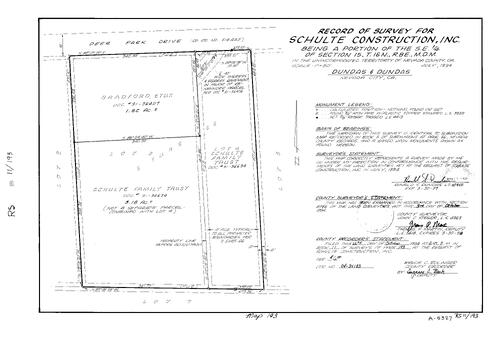
Record of Survey Book 11, pg. 193 (1994)
NC Recorders Map Survey 11-193:
Schulte Construction Inc.. T16N R8E Sec. 15. Deer Park Dr.. Subdivision Book 5, pg. 66 lot 3, 4
NC Recorders Map Survey 11-193:
Schulte Construction Inc.. T16N R8E Sec. 15. Deer Park Dr.. Subdivision Book 5, pg. 66 lot 3, 4
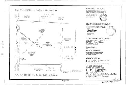
Record of Survey Book 11, pg. 194 (1994)
NC Recorders Map Survey 11-194:
Larsen, J. C.. T15N R6E Sec. 11. Hutto Rd.. Nevada/Yuba County Line. Parcel Map Book 6, pg. 151 parcel 1-4
NC Recorders Map Survey 11-194:
Larsen, J. C.. T15N R6E Sec. 11. Hutto Rd.. Nevada/Yuba County Line. Parcel Map Book 6, pg. 151 parcel 1-4

Record of Survey Book 11, pg. 195 (1994)
NC Recorders Map Survey 11-195:
Harter, Rich & Denny. Stockholm Way. Tahoe Donner Unit 6 lot 150, 151. T18N R16E Sec. 31. Subdivision Book 4, pg. 34 lot 150, 151
NC Recorders Map Survey 11-195:
Harter, Rich & Denny. Stockholm Way. Tahoe Donner Unit 6 lot 150, 151. T18N R16E Sec. 31. Subdivision Book 4, pg. 34 lot 150, 151
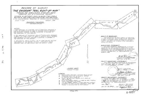
Record of Survey Book 11, pg. 196 (1994)
NC Recorders Map Survey 11-196-1:
NC Recorders Map Survey 11-196-1:
Emigrant Trail Right of Way. T14N R8E Sec. 1. T14N R8E Sec. 2. T14N R8E Sec. 10. T14N R8E Sec. 11. T14N R8E Sec. 12. T14N R8E Sec. 14. T14N R8E Sec. 15. T14N R9E Sec. 6. T15N R9E Sec. 31. T15N R9E Sec. 32. Golden... See More

Record of Survey Book 11, pg. 196 (1994)
NC Recorders Map Survey 11-196-2:
NC Recorders Map Survey 11-196-2:
Emigrant Trail Right of Way. T14N R8E Sec. 1. T14N R8E Sec. 2. T14N R8E Sec. 10. T14N R8E Sec. 11. T14N R8E Sec. 12. T14N R8E Sec. 14. T14N R8E Sec. 15. T14N R9E Sec. 6. T15N R9E Sec. 31. T15N R9E Sec. 32. Golden... See More
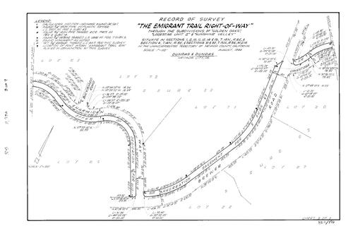
Record of Survey Book 11, pg. 196 (1994)
NC Recorders Map Survey 11-196-3:
NC Recorders Map Survey 11-196-3:
Emigrant Trail Right of Way. T14N R8E Sec. 1. T14N R8E Sec. 2. T14N R8E Sec. 10. T14N R8E Sec. 11. T14N R8E Sec. 12. T14N R8E Sec. 14. T14N R8E Sec. 15. T14N R9E Sec. 6. T15N R9E Sec. 31. T15N R9E Sec. 32. Golden... See More
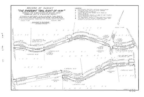
Record of Survey Book 11, pg. 196 (1994)
NC Recorders Map Survey 11-196-4:
NC Recorders Map Survey 11-196-4:
Emigrant Trail Right of Way. T14N R8E Sec. 1. T14N R8E Sec. 2. T14N R8E Sec. 10. T14N R8E Sec. 11. T14N R8E Sec. 12. T14N R8E Sec. 14. T14N R8E Sec. 15. T14N R9E Sec. 6. T15N R9E Sec. 31. T15N R9E Sec. 32. Golden... See More
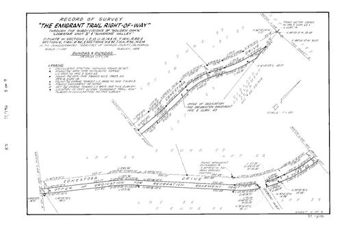
Record of Survey Book 11, pg. 196 (1994)
NC Recorders Map Survey 11-196-5:
NC Recorders Map Survey 11-196-5:
Emigrant Trail Right of Way. T14N R8E Sec. 1. T14N R8E Sec. 2. T14N R8E Sec. 10. T14N R8E Sec. 11. T14N R8E Sec. 12. T14N R8E Sec. 14. T14N R8E Sec. 15. T14N R9E Sec. 6. T15N R9E Sec. 31. T15N R9E Sec. 32. Golden... See More

Record of Survey Book 11, pg. 196 (1994)
NC Recorders Map Survey 11-196-6:
NC Recorders Map Survey 11-196-6:
Emigrant Trail Right of Way. T14N R8E Sec. 1. T14N R8E Sec. 2. T14N R8E Sec. 10. T14N R8E Sec. 11. T14N R8E Sec. 12. T14N R8E Sec. 14. T14N R8E Sec. 15. T14N R9E Sec. 6. T15N R9E Sec. 31. T15N R9E Sec. 32. Golden... See More
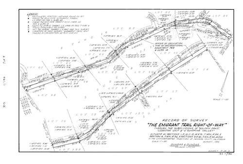
Record of Survey Book 11, pg. 196 (1994)
NC Recorders Map Survey 11-196-7:
NC Recorders Map Survey 11-196-7:
Emigrant Trail Right of Way. T14N R8E Sec. 1. T14N R8E Sec. 2. T14N R8E Sec. 10. T14N R8E Sec. 11. T14N R8E Sec. 12. T14N R8E Sec. 14. T14N R8E Sec. 15. T14N R9E Sec. 6. T15N R9E Sec. 31. T15N R9E Sec. 32. Golden... See More
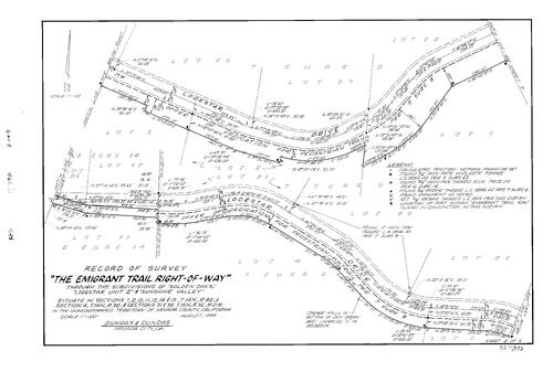
Record of Survey Book 11, pg. 196 (1994)
NC Recorders Map Survey 11-196-8:
NC Recorders Map Survey 11-196-8:
Emigrant Trail Right of Way. T14N R8E Sec. 1. T14N R8E Sec. 2. T14N R8E Sec. 10. T14N R8E Sec. 11. T14N R8E Sec. 12. T14N R8E Sec. 14. T14N R8E Sec. 15. T14N R9E Sec. 6. T15N R9E Sec. 31. T15N R9E Sec. 32. Golden... See More
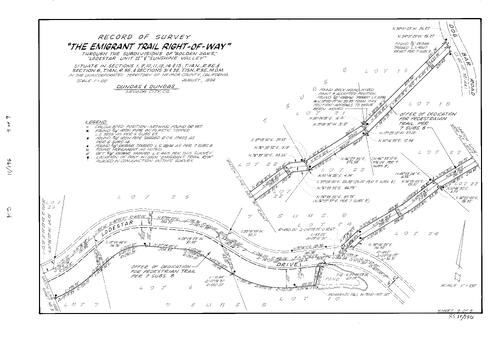
Record of Survey Book 11, pg. 196 (1994)
NC Recorders Map Survey 11-196-9:
NC Recorders Map Survey 11-196-9:
Emigrant Trail Right of Way. T14N R8E Sec. 1. T14N R8E Sec. 2. T14N R8E Sec. 10. T14N R8E Sec. 11. T14N R8E Sec. 12. T14N R8E Sec. 14. T14N R8E Sec. 15. T14N R9E Sec. 6. T15N R9E Sec. 31. T15N R9E Sec. 32. Golden... See More

Record of Survey Book 11, pg. 197 (1994)
NC Recorders Map Survey 11-197:
T16N R8E Sec. 35. Pine Hill Dr.. Colfax Hwy.. Subdivision Book 1, pg. 59 lot 1, 2
NC Recorders Map Survey 11-197:
T16N R8E Sec. 35. Pine Hill Dr.. Colfax Hwy.. Subdivision Book 1, pg. 59 lot 1, 2

Record of Survey Book 11, pg. 198 (1994)
NC Recorders Map Survey 11-198:
NC Recorders Map Survey 11-198:
Lower Colfax Rd.. T15N R9E Sec. 8. Anderson, Judy. Parcel Map Book 10, pg. 197 parcel A-C. Sunshine... See More

Record of Survey Book 11, pg. 199 (1994)
NC Recorders Map Survey 11-199:
Bacchi Property. T17N R14E Sec. 22. Donner Pass Rd.. Central Pacific Railroad. Yuba River, North Fork. Soda Springs
NC Recorders Map Survey 11-199:
Bacchi Property. T17N R14E Sec. 22. Donner Pass Rd.. Central Pacific Railroad. Yuba River, North Fork. Soda Springs
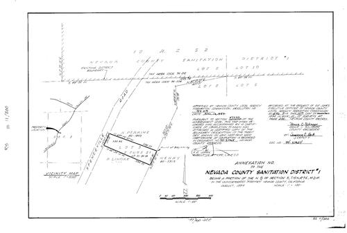
Record of Survey Book 11, pg. 200 (1994)
NC Recorders Map Survey 11-200:
Nevada County Sanitation Dist. No. 1 Annexation. T15N R7E Sec. 3. Subdivision Book 2, pg. 21 lot 5. Spenceville Rd.. Perkins, K.. Lindke, P.
NC Recorders Map Survey 11-200:
Nevada County Sanitation Dist. No. 1 Annexation. T15N R7E Sec. 3. Subdivision Book 2, pg. 21 lot 5. Spenceville Rd.. Perkins, K.. Lindke, P.
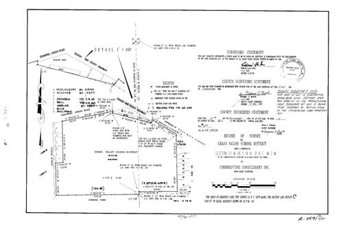
Record of Survey Book 11, pg. 201 (1994)
NC Recorders Map Survey 11-201:
NC Recorders Map Survey 11-201:
Grass Valley School District. T16N R8E Sec. 27. T16N R8E Sec. 28. Rough & Ready Hwy.. Squirrel Creek Rd.. Cedar St.. Main St., West (Grass Valley). Condon Park. Parcel Map Book 6, pg. 209 parcel A. Subdivision Book 1,... See More

Record of Survey Book 11, pg. 202 (1994)
NC Recorders Map Survey 11-202:
Slouber, Joe. T17N R11E Sec. 15
NC Recorders Map Survey 11-202:
Slouber, Joe. T17N R11E Sec. 15

Record of Survey Book 11, pg. 203 (1994)
NC Recorders Map Survey 11-203:
Nevada City Block 56 lot 7. Sacramento St.. Nevada City Pedestrian right of way. McNeil, Steve
NC Recorders Map Survey 11-203:
Nevada City Block 56 lot 7. Sacramento St.. Nevada City Pedestrian right of way. McNeil, Steve
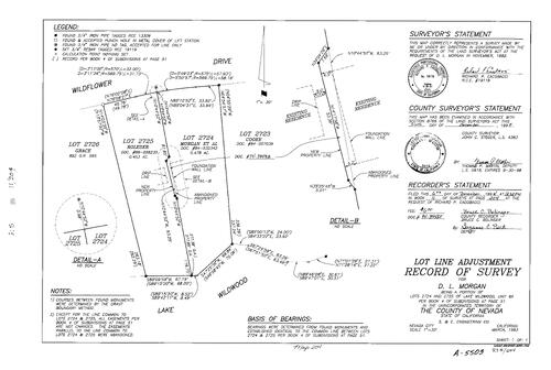
Record of Survey Book 11, pg. 204 (1994)
NC Recorders Map Survey 11-204:
Morgan, D. L.. Laake Wildwood Unit 6-A lot 2724, 2725. Subdivision Book 4, pg. 51 lot 2724, 2725. Wildflower Dr.. Lake Wildwood
NC Recorders Map Survey 11-204:
Morgan, D. L.. Laake Wildwood Unit 6-A lot 2724, 2725. Subdivision Book 4, pg. 51 lot 2724, 2725. Wildflower Dr.. Lake Wildwood

Record of Survey Book 11, pg. 205 (1994)
NC Recorders Map Survey 11-205:
Aguilar, Larry. T16N R8E Sec. 14. Ridge Rd.
NC Recorders Map Survey 11-205:
Aguilar, Larry. T16N R8E Sec. 14. Ridge Rd.
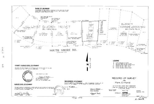
Record of Survey Book 11, pg. 206 (1994)
NC Recorders Map Survey 11-206:
Clifford, Mark. West Shore Tract Subdivision lot 8. T17N R15E Sec. 14. South Shore Dr.. Donner Woods No. 2 Block M
NC Recorders Map Survey 11-206:
Clifford, Mark. West Shore Tract Subdivision lot 8. T17N R15E Sec. 14. South Shore Dr.. Donner Woods No. 2 Block M

Record of Survey Book 11, pg. 207 (1994)
NC Recorders Map Survey 11-207-1:
NC Recorders Map Survey 11-207-1:
United States Forest Service. T18N R11E Sec. 16. T18N R11E Sec. 17. T18N R11E Sec. 20. T18N R11E Sec. 21. T18N R11E Sec. 28. Ohio. Mineral Survey 5968. Wheeling Lode. Wheeling Mill Site. Cascaret Mill Site. Mineral... See More

Record of Survey Book 11, pg. 207 (1994)
NC Recorders Map Survey 11-207-2:
NC Recorders Map Survey 11-207-2:
United States Forest Service. T18N R11E Sec. 16. T18N R11E Sec. 17. T18N R11E Sec. 20. T18N R11E Sec. 21. T18N R11E Sec. 28. Ohio. Mineral Survey 5968. Wheeling Lode. Wheeling Mill Site. Cascaret Mill Site. Mineral... See More
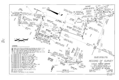
Record of Survey Book 11, pg. 207 (1994)
NC Recorders Map Survey 11-207-3:
NC Recorders Map Survey 11-207-3:
United States Forest Service. T18N R11E Sec. 16. T18N R11E Sec. 17. T18N R11E Sec. 20. T18N R11E Sec. 21. T18N R11E Sec. 28. Ohio. Mineral Survey 5968. Wheeling Lode. Wheeling Mill Site. Cascaret Mill Site. Mineral... See More

Record of Survey Book 11, pg. 207 (1994)
NC Recorders Map Survey 11-207-4:
NC Recorders Map Survey 11-207-4:
United States Forest Service. T18N R11E Sec. 16. T18N R11E Sec. 17. T18N R11E Sec. 20. T18N R11E Sec. 21. T18N R11E Sec. 28. Ohio. Mineral Survey 5968. Wheeling Lode. Wheeling Mill Site. Cascaret Mill Site. Mineral... See More

Record of Survey Book 11, pg. 207 (1994)
NC Recorders Map Survey 11-207-5:
NC Recorders Map Survey 11-207-5:
United States Forest Service. T18N R11E Sec. 16. T18N R11E Sec. 17. T18N R11E Sec. 20. T18N R11E Sec. 21. T18N R11E Sec. 28. Ohio. Mineral Survey 5968. Wheeling Lode. Wheeling Mill Site. Cascaret Mill Site. Mineral... See More
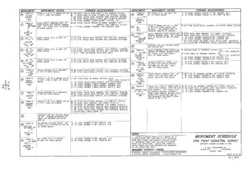
Record of Survey Book 11, pg. 207 (1994)
NC Recorders Map Survey 11-207-6:
NC Recorders Map Survey 11-207-6:
United States Forest Service. T18N R11E Sec. 16. T18N R11E Sec. 17. T18N R11E Sec. 20. T18N R11E Sec. 21. T18N R11E Sec. 28. Ohio. Mineral Survey 5968. Wheeling Lode. Wheeling Mill Site. Cascaret Mill Site. Mineral... See More

Record of Survey Book 11, pg. 208 (1994)
NC Recorders Map Survey 11-208:
Bear River Recreation District
NC Recorders Map Survey 11-208:
Bear River Recreation District

Record of Survey Book 11, pg. 209 (1994)
NC Recorders Map Survey 11-209-1:
Finn, Eleanor S.. Finn Tract. T18N R15E Sec. 21. T18N R15E Sec. 22. Prosser Creek, North Fork. Tahoe National Forest
NC Recorders Map Survey 11-209-1:
Finn, Eleanor S.. Finn Tract. T18N R15E Sec. 21. T18N R15E Sec. 22. Prosser Creek, North Fork. Tahoe National Forest

Record of Survey Book 11, pg. 209 (1994)
NC Recorders Map Survey 11-209-2:
Finn, Eleanor S.. Finn Tract. T18N R15E Sec. 21. T18N R15E Sec. 22. Prosser Creek, North Fork. Tahoe National Forest
NC Recorders Map Survey 11-209-2:
Finn, Eleanor S.. Finn Tract. T18N R15E Sec. 21. T18N R15E Sec. 22. Prosser Creek, North Fork. Tahoe National Forest
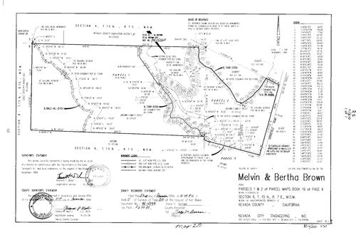
Record of Survey Book 11, pg. 210 (1994)
NC Recorders Map Survey 11-210:
Brown, Melvin & Bertha. Parcel Map Book 16, pg. 6 parcel 1, 2. T15N R7E Sec. 9. Bald Hill Ditch. Tarr Ditch. Brown Family Trust. Spenceville Rd.
NC Recorders Map Survey 11-210:
Brown, Melvin & Bertha. Parcel Map Book 16, pg. 6 parcel 1, 2. T15N R7E Sec. 9. Bald Hill Ditch. Tarr Ditch. Brown Family Trust. Spenceville Rd.
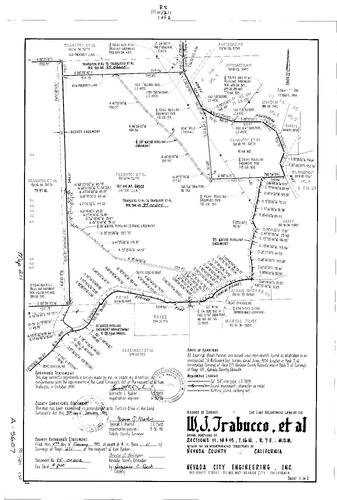
Record of Survey Book 11, pg. 211 (1995)
NC Recorders Map Survey 11-211-1:
NC Recorders Map Survey 11-211-1:
Ponderosa Way, North. Trabucco, William J. et al. Bitney Springs Rd.. Kentucky Ditch. T16N R7E Sec... See More

Record of Survey Book 11, pg. 211 (1995)
NC Recorders Map Survey 11-211-2:
NC Recorders Map Survey 11-211-2:
Ponderosa Way, North. Trabucco, William J. et al. Bitney Springs Rd.. Kentucky Ditch. T16N R7E Sec... See More
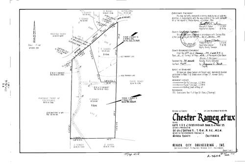
Record of Survey Book 11, pg. 212 (1995)
NC Recorders Map Survey 11-212:
Ramey, Chester et ux. Subdivision Book 5, pg. 33 lot 1, 2. T15N R9E Sec. 5. Meadow Dr.. Ramey, J.
NC Recorders Map Survey 11-212:
Ramey, Chester et ux. Subdivision Book 5, pg. 33 lot 1, 2. T15N R9E Sec. 5. Meadow Dr.. Ramey, J.

Record of Survey Book 11, pg. 213 (1995)
NC Recorders Map Survey 11-213:
Sierra Memorial Lawn Cemetery Garden C. T16N R8E Sec. 13. Golden Center Freeway. Hollow Way. Bost Ave.
NC Recorders Map Survey 11-213:
Sierra Memorial Lawn Cemetery Garden C. T16N R8E Sec. 13. Golden Center Freeway. Hollow Way. Bost Ave.

Record of Survey Book 11, pg. 214 (1995)
NC Recorders Map Survey 11-214:
T16N R9E Sec. 36. Rant, R.. McCrea-O'Connor, Shannon V.
NC Recorders Map Survey 11-214:
T16N R9E Sec. 36. Rant, R.. McCrea-O'Connor, Shannon V.

Record of Survey Book 11, pg. 215 (1995)
NC Recorders Map Survey 11-215:
Cadjew, Frank. Main St., East (Truckee). Jibboom St.. High St. (Truckee). I-80. Main St. Block N lot 1-5 (Truckee)
NC Recorders Map Survey 11-215:
Cadjew, Frank. Main St., East (Truckee). Jibboom St.. High St. (Truckee). I-80. Main St. Block N lot 1-5 (Truckee)
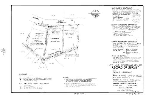
Record of Survey Book 11, pg. 216 (1995)
NC Recorders Map Survey 11-216:
Lawrence, Gerald. Subdivision Book 2, pg. 107 lot 46, 47. T16N R10E Sec. 7. Summit Ridge Dr.. Pawnee Trail
NC Recorders Map Survey 11-216:
Lawrence, Gerald. Subdivision Book 2, pg. 107 lot 46, 47. T16N R10E Sec. 7. Summit Ridge Dr.. Pawnee Trail
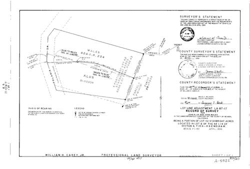
Record of Survey Book 11, pg. 217 (1995)
NC Recorders Map Survey 11-217:
Klaus, John. Wales, John. Starbright Acres lot 42. T15N R8E Sec. 4 lot 6. Polaris Dr.. Parcel Map Book 14, pg. 13 parcel A. Subdivision Book 2, pg. 42 lot 42
NC Recorders Map Survey 11-217:
Klaus, John. Wales, John. Starbright Acres lot 42. T15N R8E Sec. 4 lot 6. Polaris Dr.. Parcel Map Book 14, pg. 13 parcel A. Subdivision Book 2, pg. 42 lot 42

Record of Survey Book 11, pg. 218 (1995)
NC Recorders Map Survey 11-218:
Nevada County Country Club. T16N R8E Sec. 22. T16N R8E Sec. 23. Hughes Rd.. Main St., East (Grass Valley). Grass Valley Ditch. English Mountain Ranch
NC Recorders Map Survey 11-218:
Nevada County Country Club. T16N R8E Sec. 22. T16N R8E Sec. 23. Hughes Rd.. Main St., East (Grass Valley). Grass Valley Ditch. English Mountain Ranch
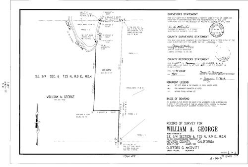
Record of Survey Book 11, pg. 219 (1995)
NC Recorders Map Survey 11-219:
George, William A.. T15N R9E Sec. 6. Lower Colfax Rd.
NC Recorders Map Survey 11-219:
George, William A.. T15N R9E Sec. 6. Lower Colfax Rd.

Record of Survey Book 11, pg. 220 (1995)
NC Recorders Map Survey 11-220:
Geddings, Ladson. T14N R8E Sec. 20. Parcel Map Book 4, pg. 102 parcel 1, 2. Wolf Rd.. Still Rd.
NC Recorders Map Survey 11-220:
Geddings, Ladson. T14N R8E Sec. 20. Parcel Map Book 4, pg. 102 parcel 1, 2. Wolf Rd.. Still Rd.
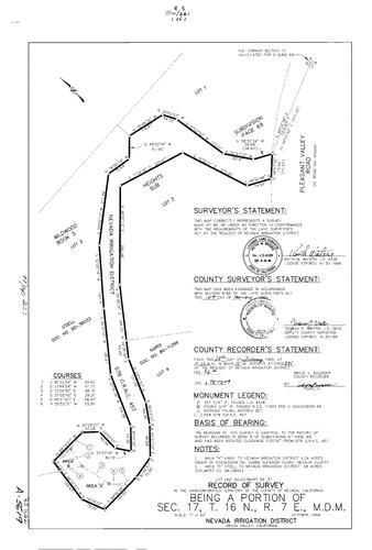
Record of Survey Book 11, pg. 221 (1995)
NC Recorders Map Survey 11-221:
NC Recorders Map Survey 11-221:
Wildwood Heights Subdivision. Subdivision Book 5, pg. 69 lot 1, 2, 3, 4. Nevada Irrigation... See More

Record of Survey Book 11, pg. 222 (1995)
NC Recorders Map Survey 11-222:
Nevada Irrigation District Proposed Annexation. Kremple-NID proposed annexation. Grass Valley East Block 5 lot 8. T16N R8E Sec. 26. Harris St.
NC Recorders Map Survey 11-222:
Nevada Irrigation District Proposed Annexation. Kremple-NID proposed annexation. Grass Valley East Block 5 lot 8. T16N R8E Sec. 26. Harris St.
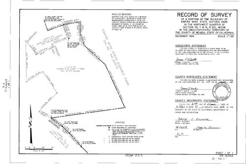
Record of Survey Book 11, pg. 223 (1995)
NC Recorders Map Survey 11-223:
Empire Mine State Historic Park. T16N R8E Sec. 35. Parcel Map Book 16, pg. 127 parcel A. York, Harry I. & Lois T.. Patterson, Penelope G.
NC Recorders Map Survey 11-223:
Empire Mine State Historic Park. T16N R8E Sec. 35. Parcel Map Book 16, pg. 127 parcel A. York, Harry I. & Lois T.. Patterson, Penelope G.
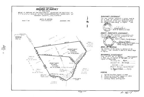
Record of Survey Book 11, pg. 224 (1995)
NC Recorders Map Survey 11-224:
Leuty, Rose. T17N R8E Sec. 14. Parcel Map Book 12, pg. 51 parcel A, B,C. Parcel Map Book 8, pg. 116 parcel B, C. Parcel Map Book 9, pg. 113 parcel 1. Parcel Map Book 4, pg. 57 parcel 1. Miller Rd.
NC Recorders Map Survey 11-224:
Leuty, Rose. T17N R8E Sec. 14. Parcel Map Book 12, pg. 51 parcel A, B,C. Parcel Map Book 8, pg. 116 parcel B, C. Parcel Map Book 9, pg. 113 parcel 1. Parcel Map Book 4, pg. 57 parcel 1. Miller Rd.

Record of Survey Book 11, pg. 225 (1995)
NC Recorders Map Survey 11-225-1:
Nevada County. Rock Creek Ranches. T17N R9E Sec. 28. T17N R9E Sec. 32. T17N R9E Sec. 33. Cooper Rd.. North Bloomfield-Graniteville Rd.. Blue Tent School Rd.
NC Recorders Map Survey 11-225-1:
Nevada County. Rock Creek Ranches. T17N R9E Sec. 28. T17N R9E Sec. 32. T17N R9E Sec. 33. Cooper Rd.. North Bloomfield-Graniteville Rd.. Blue Tent School Rd.

Record of Survey Book 11, pg. 225 (1995)
NC Recorders Map Survey 11-225-2:
Nevada County. Rock Creek Ranches. T17N R9E Sec. 28. T17N R9E Sec. 32. T17N R9E Sec. 33. Cooper Rd.. North Bloomfield-Graniteville Rd.. Blue Tent School Rd.
NC Recorders Map Survey 11-225-2:
Nevada County. Rock Creek Ranches. T17N R9E Sec. 28. T17N R9E Sec. 32. T17N R9E Sec. 33. Cooper Rd.. North Bloomfield-Graniteville Rd.. Blue Tent School Rd.

Record of Survey Book 11, pg. 226 (1995)
NC Recorders Map Survey 11-226:
Ingram, Scott. T16N R8E Sec. 23. Woodland Way. Ingram, D. L.. Duff, D. L. & A. L.. Juvinal, T. et al
NC Recorders Map Survey 11-226:
Ingram, Scott. T16N R8E Sec. 23. Woodland Way. Ingram, D. L.. Duff, D. L. & A. L.. Juvinal, T. et al
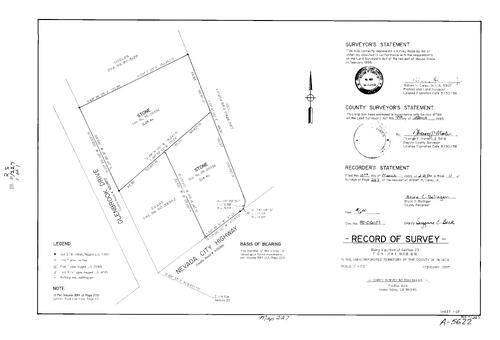
Record of Survey Book 11, pg. 227 (1995)
NC Recorders Map Survey 11-227:
T16N R8E Sec. 23. Stone, Wayne. Nevada City Hwy.. Glenbrook Dr.
NC Recorders Map Survey 11-227:
T16N R8E Sec. 23. Stone, Wayne. Nevada City Hwy.. Glenbrook Dr.

Record of Survey Book 11, pg. 228 (1995)
NC Recorders Map Survey 11-228:
T16N R9E Sec. 31. Jacobs, Anna M.. Tim Burr Lane. Gem Lane
NC Recorders Map Survey 11-228:
T16N R9E Sec. 31. Jacobs, Anna M.. Tim Burr Lane. Gem Lane

Record of Survey Book 11, pg. 229 (1995)
NC Recorders Map Survey 11-229:
T15N R8E Sec. 12. Hamilton, Richard K. & Robert L.. La Barr Meadows Rd.. Twin Pines Pl.
NC Recorders Map Survey 11-229:
T15N R8E Sec. 12. Hamilton, Richard K. & Robert L.. La Barr Meadows Rd.. Twin Pines Pl.

Record of Survey Book 11, pg. 230 (1995)
NC Recorders Map Survey 11-230:
Lenney, John R.. Upson Family Trust. Iron Mountain Estates lots 16, 17. McCourtney Rd.. Parcel Map Book 18, pg. 186 parcel 1. Parcel Map Book 12, pg. 43 parcel 1
NC Recorders Map Survey 11-230:
Lenney, John R.. Upson Family Trust. Iron Mountain Estates lots 16, 17. McCourtney Rd.. Parcel Map Book 18, pg. 186 parcel 1. Parcel Map Book 12, pg. 43 parcel 1

Record of Survey Book 11, pg. 231 (1995)
NC Recorders Map Survey 11-231:
T16N R8E Sec. 34. Tremewan & Fontana. Auburn St., South. Belmont Enterprises
NC Recorders Map Survey 11-231:
T16N R8E Sec. 34. Tremewan & Fontana. Auburn St., South. Belmont Enterprises

Record of Survey Book 11, pg. 232 (1995)
NC Recorders Map Survey 11-232:
Laird, Bill. T16N R8E Sec. 12. Nevada City Townsite Block 26 lot 3. Broad St., East (Nevada City). Beckman St.. Main St. (Nevada City)
NC Recorders Map Survey 11-232:
Laird, Bill. T16N R8E Sec. 12. Nevada City Townsite Block 26 lot 3. Broad St., East (Nevada City). Beckman St.. Main St. (Nevada City)

Record of Survey Book 11, pg. 233 (1995)
NC Recorders Map Survey 11-233:
Sierra Memorial Lawn Cemetery Garden D. T16N R8E Sec. 13. Holow Way. Bost Ave.. Hooper & Weaver
NC Recorders Map Survey 11-233:
Sierra Memorial Lawn Cemetery Garden D. T16N R8E Sec. 13. Holow Way. Bost Ave.. Hooper & Weaver
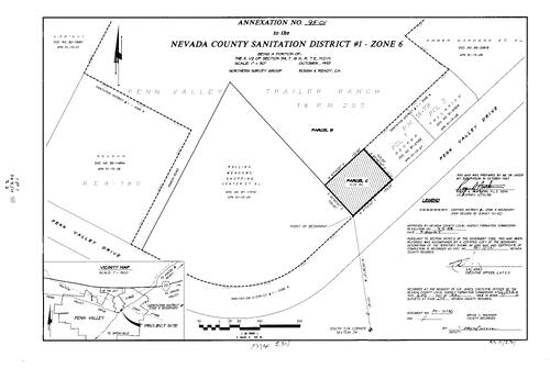
Record of Survey Book 11, pg. 234 (1995)
NC Recorders Map Survey 11-234:
Nevada County Sanitation Dist. #1 zone 6 annexatio. Penn Valley Dr.. Penn Valley Trailer Park. Parcel Map Book 18, pg. 207 parcel B, C. Ranch Rd.. Parcel Map Book 18, pg. 79 parcel 1, 2
NC Recorders Map Survey 11-234:
Nevada County Sanitation Dist. #1 zone 6 annexatio. Penn Valley Dr.. Penn Valley Trailer Park. Parcel Map Book 18, pg. 207 parcel B, C. Ranch Rd.. Parcel Map Book 18, pg. 79 parcel 1, 2

Record of Survey Book 11, pg. 235 (1995)
NC Recorders Map Survey 11-235:
Steele, Bill. North San Juan Townsite block 15. T17N R8E Sec. 5. State Highway 49. North San Juan Volunteer Fire Department. Cemetery alley (North San Juan)
NC Recorders Map Survey 11-235:
Steele, Bill. North San Juan Townsite block 15. T17N R8E Sec. 5. State Highway 49. North San Juan Volunteer Fire Department. Cemetery alley (North San Juan)

Record of Survey Book 11, pg. 236 (1995)
NC Recorders Map Survey 11-236:
Downing Family Revocable Living Trust. Parcel Map Book 3, pg. 155, parcel 1, 2, 3, 4. Sardonyx Dr.. Scott Flat Rd.
NC Recorders Map Survey 11-236:
Downing Family Revocable Living Trust. Parcel Map Book 3, pg. 155, parcel 1, 2, 3, 4. Sardonyx Dr.. Scott Flat Rd.

Record of Survey Book 11, pg. 237 (1995)
NC Recorders Map Survey 11-237:
NC Recorders Map Survey 11-237:
School St. (Sweetland). Sweetland Rd.. Sebastopol Townsite. T17N R8E Sec. 6. T17N R8E Sec. 7. State... See More

Record of Survey Book 11, pg. 238 (1995)
NC Recorders Map Survey 11-238:
Cassimus, Mark W.. T18N R16E Sec. 22. Tahoe National Forest. Klondike Flat Rd.. Calvary Chapel of Truckee
NC Recorders Map Survey 11-238:
Cassimus, Mark W.. T18N R16E Sec. 22. Tahoe National Forest. Klondike Flat Rd.. Calvary Chapel of Truckee

Record of Survey Book 11, pg. 239 (1995)
NC Recorders Map Survey 11-239:
Hubbell, Ruth. T16N R8E Sec. 5. North San Juan Townsite Block 15 lot 18, 26-28, 61. North San Juan Volunteer Fire Department. Cemetery alley (North San Juan. Cherokee St.. North San Juan Cemetery
NC Recorders Map Survey 11-239:
Hubbell, Ruth. T16N R8E Sec. 5. North San Juan Townsite Block 15 lot 18, 26-28, 61. North San Juan Volunteer Fire Department. Cemetery alley (North San Juan. Cherokee St.. North San Juan Cemetery

Record of Survey Book 11, pg. 240 (1995)
NC Recorders Map Survey 11-240:
Brown Family Trust. Brown, Me.. Telles Family Ltd. Partnership. T15N R7E Sec. 9. Spenceville Rd.. Tarr Ditch
NC Recorders Map Survey 11-240:
Brown Family Trust. Brown, Me.. Telles Family Ltd. Partnership. T15N R7E Sec. 9. Spenceville Rd.. Tarr Ditch
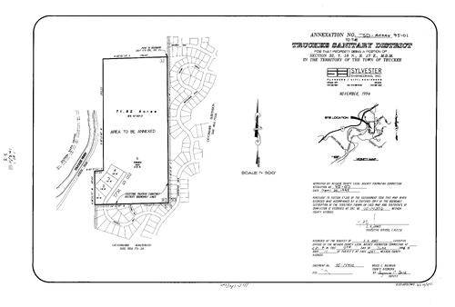
Record of Survey Book 11, pg. 241(1995)
NC Recorders Map Survey 11-241:
Truckee Sanitary District Annexation. T18N R17E Sec. 32. Southern Pacific Railroad. Truckee River. Icknield Way. Allenby Way. Winchester Dr.. Whitehorse Rd.. Crown Circle. Archery View
NC Recorders Map Survey 11-241:
Truckee Sanitary District Annexation. T18N R17E Sec. 32. Southern Pacific Railroad. Truckee River. Icknield Way. Allenby Way. Winchester Dr.. Whitehorse Rd.. Crown Circle. Archery View

Record of Survey Book 11, pg. 242(1995)
NC Recorders Map Survey 11-242:
Heilmann, Edward F.. Rick, Barbara J.. Heilmann Tract. T16N R8E Sec. 13. Heilmann Ct.. Reward St.. Subdivision Book 6, pg. 32 lot 1-5
NC Recorders Map Survey 11-242:
Heilmann, Edward F.. Rick, Barbara J.. Heilmann Tract. T16N R8E Sec. 13. Heilmann Ct.. Reward St.. Subdivision Book 6, pg. 32 lot 1-5

Record of Survey Book 11, pg. 243 (1995)
NC Recorders Map Survey 11-243:
NC Recorders Map Survey 11-243:
Cabin St.. Deer Creek. Gold Run Creek. Golden Center Freeway. Pine St., South (Nevada City). Clark... See More
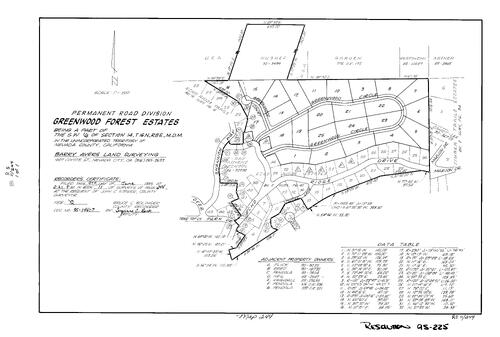
Record of Survey Book 11, pg. 244 (1995)
NC Recorders Map Survey 11-244:
NC Recorders Map Survey 11-244:
Greenwood Forest Estates Permanent Road Division. T16N R8E Sec. 14. Greenwood Ct.. Greenwood Cir.. Shannon Way. Deer Park Dr.. Tree Top Lane. Echo Ridge Dr.. Pepper Lane. Lookout Circle. Marjon Dr.. Seventh Day... See More
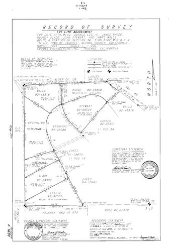
Record of Survey Book 11, pg. 245 (1995)
NC Recorders Map Survey 11-245-1:
NC Recorders Map Survey 11-245-1:
Efthimion, Erie. Leslie, Donald. Rhode, James. Slade, Rodney. Stewart, John. Walls, James. T18N... See More

Record of Survey Book 11, pg. 245 (1995)
NC Recorders Map Survey 11-245-2:
NC Recorders Map Survey 11-245-2:
Efthimion, Erie. Leslie, Donald. Rhode, James. Slade, Rodney. Stewart, John. Walls, James. T18N... See More

Record of Survey Book 11, pg. 246 (1995)
NC Recorders Map Survey 11-246:
NC Recorders Map Survey 11-246:
Hilkey, Charles M., Jr.. T17N R8E Sec. 1. Cherokee Townsite. Badger Hill Claim. Siskon Gold Corp.. Sages Rd.. School St. (Cherokee). Patterson Placer Mine. Donovan & Ryan Claim. Badger Hill Rd.. Tyler-Foote Crossing... See More

Record of Survey Book 11, pg. 247 (1995)
NC Recorders Map Survey 11-247:
McPherson, Margaret. Sebastopol Block 1 lot 14, 15. T17N R8E Sec. 6. Main St. (Sebastopol). Sweetland Rd.
NC Recorders Map Survey 11-247:
McPherson, Margaret. Sebastopol Block 1 lot 14, 15. T17N R8E Sec. 6. Main St. (Sebastopol). Sweetland Rd.

Record of Survey Book 11, pg. 248 (1995)
NC Recorders Map Survey 11-248:
Bradley, Philip & Katherine. T17N R8E Sec. 7 lots 1, 2, 3, 4. Milton Rd.. Sweetland Creek. Brown Homestead Co. Inc.. Aurora Lode. Mineral Survey 6143. Magnetic Quartz Mining Claim. Mineral Survey 4164
NC Recorders Map Survey 11-248:
Bradley, Philip & Katherine. T17N R8E Sec. 7 lots 1, 2, 3, 4. Milton Rd.. Sweetland Creek. Brown Homestead Co. Inc.. Aurora Lode. Mineral Survey 6143. Magnetic Quartz Mining Claim. Mineral Survey 4164

Record of Survey Book 11, pg. 249 (1995)
NC Recorders Map Survey 11-249:
Idaho-Maryland Rd.. N. I. D. Canal, not named. McGuire, Bonnie & Mel. T16N R9E Sec. 20
NC Recorders Map Survey 11-249:
Idaho-Maryland Rd.. N. I. D. Canal, not named. McGuire, Bonnie & Mel. T16N R9E Sec. 20

Record of Survey Book 11, pg. 250 (1995)
NC Recorders Map Survey 11-250:
T16N R9E Sec. 26. Pioneer Ridge Rd.. Jones Ridge Rd.. Foster, James
NC Recorders Map Survey 11-250:
T16N R9E Sec. 26. Pioneer Ridge Rd.. Jones Ridge Rd.. Foster, James

Record of Survey Book 11, pg. 251 (1995)
NC Recorders Map Survey 11-251:
Truckee Donner Public Utility District. T17N R16E Sec. 15. McIver et al
NC Recorders Map Survey 11-251:
Truckee Donner Public Utility District. T17N R16E Sec. 15. McIver et al
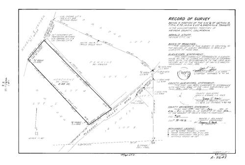
Record of Survey Book 11, pg. 252 (1995)
NC Recorders Map Survey 11-252:
Merchant, David & Marilyn. Birchville Townsite lot 4. T17N R7E Sec. 13. Pleasant Valley Rd.
NC Recorders Map Survey 11-252:
Merchant, David & Marilyn. Birchville Townsite lot 4. T17N R7E Sec. 13. Pleasant Valley Rd.
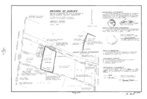
Record of Survey Book 11, pg. 253 (1995)
NC Recorders Map Survey 11-253:
Kochis, Robert & Juanice. Grass Valley South Townsite Block 7 lot 6. Berryman St.. Auburn St., South. Kate Hayes St.
NC Recorders Map Survey 11-253:
Kochis, Robert & Juanice. Grass Valley South Townsite Block 7 lot 6. Berryman St.. Auburn St., South. Kate Hayes St.

Record of Survey Book 11, pg. 254 (1995)
NC Recorders Map Survey 11-254:
McGinity, Joe. Truckee McGlashan's Addition Block U lot 22-25. High St. (Truckee). McPhetres St.. I-80. Donner Pass Rd.. T17N R16E Sec. 15
NC Recorders Map Survey 11-254:
McGinity, Joe. Truckee McGlashan's Addition Block U lot 22-25. High St. (Truckee). McPhetres St.. I-80. Donner Pass Rd.. T17N R16E Sec. 15

Record of Survey Book 11, pg. 255 (1995)
NC Recorders Map Survey 11-255:
Young, Larry. Collins, Robert. Truckee McGlashans Addition Block I lot 10, 11. T17N R16E Sec. 15. I-80. Keiser Ave.. Spring St. (Truckee)
NC Recorders Map Survey 11-255:
Young, Larry. Collins, Robert. Truckee McGlashans Addition Block I lot 10, 11. T17N R16E Sec. 15. I-80. Keiser Ave.. Spring St. (Truckee)

Record of Survey Book 11, pg. 256 (1995)
NC Recorders Map Survey 11-256:
Graniteville Townsite lot 51. T18N R11E Sec. 9. North Bloomfield-Graniteville Rd.. Bishop, Bernard J. & Janis
NC Recorders Map Survey 11-256:
Graniteville Townsite lot 51. T18N R11E Sec. 9. North Bloomfield-Graniteville Rd.. Bishop, Bernard J. & Janis
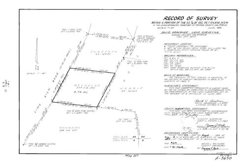
Record of Survey Book 11, pg. 257 (1995)
NC Recorders Map Survey 11-257:
T15N R8E Sec. 33. Reynolds, B.. Lime Kiln Rd.
NC Recorders Map Survey 11-257:
T15N R8E Sec. 33. Reynolds, B.. Lime Kiln Rd.
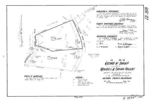
Record of Survey Book 11, pg. 258 (1995)
NC Recorders Map Survey 11-258:
Millert, Randell & Sandra. T16N R9E Sec. 22. Snowbourne Dr.. Blazing Star Rd.. Parcel map Book 4, pg. 173 parcel 1, 2
NC Recorders Map Survey 11-258:
Millert, Randell & Sandra. T16N R9E Sec. 22. Snowbourne Dr.. Blazing Star Rd.. Parcel map Book 4, pg. 173 parcel 1, 2

Record of Survey Book 11, pg. 259 (1995)
NC Recorders Map Survey 11-259:
Arnold, Steve. T15N R9E Sec. 1. Poorman Creek. You Bet Rd.. Parcel Map Book 9, pg.3 parcel D. Gearhart Ranch
NC Recorders Map Survey 11-259:
Arnold, Steve. T15N R9E Sec. 1. Poorman Creek. You Bet Rd.. Parcel Map Book 9, pg.3 parcel D. Gearhart Ranch

Record of Survey Book 11, pg. 260 (1995)
NC Recorders Map Survey 11-260:
Kingsbury Greens Community Services Dist.. Alta Sierra Dr.. Alta Sierra Estates Seventeen. Parcel Map Book 1, pg. 19 parcel 1-4. T15N R8E Sec. 13
NC Recorders Map Survey 11-260:
Kingsbury Greens Community Services Dist.. Alta Sierra Dr.. Alta Sierra Estates Seventeen. Parcel Map Book 1, pg. 19 parcel 1-4. T15N R8E Sec. 13

Record of Survey Book 11, pg. 261 (1995)
NC Recorders Map Survey 11-261:
Nevada Irrigation District Annexation. Partridge Subdivision Block C lot 2. T16N R8E Sec. 35. Mercury Dr.. Highgrade Lane. Hanging Wall Dr.
NC Recorders Map Survey 11-261:
Nevada Irrigation District Annexation. Partridge Subdivision Block C lot 2. T16N R8E Sec. 35. Mercury Dr.. Highgrade Lane. Hanging Wall Dr.
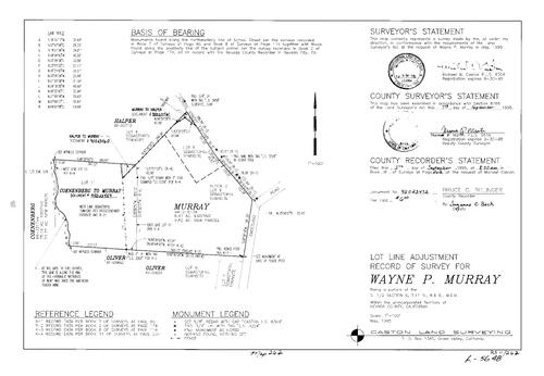
Record of Survey Book 11, pg. 262 (1995)
NC Recorders Map Survey 11-262:
Murray, Wayne R.. T17N R8E Sec. 6. Sweetland Rd.. Sebastopol Townsite Block 2 lot 4, 5, 6, 7, 8, 11
NC Recorders Map Survey 11-262:
Murray, Wayne R.. T17N R8E Sec. 6. Sweetland Rd.. Sebastopol Townsite Block 2 lot 4, 5, 6, 7, 8, 11
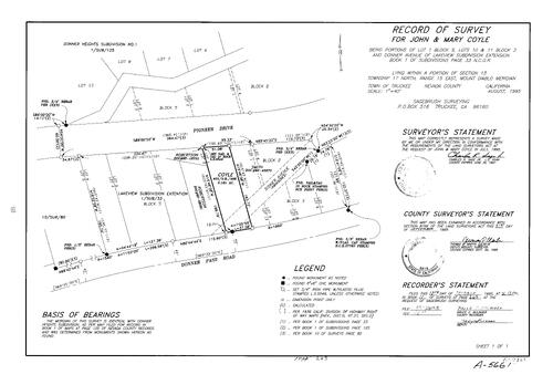
Record of Survey Book 11, pg. 263 (1995)
NC Recorders Map Survey 11-263:
NC Recorders Map Survey 11-263:
Coyle, John & Mary. Subdivision Book 1, pg. 33 Block 3 lot 10, 11. Subdivision Book 1, pg. 33 Block 5 lot 1. Donner Pass Rd.. Pioneer Dr.. Donner Ave. (abandoned). Lakeview Subdivision Block 3 lot 10, 11. Lakeview... See More

Record of Survey Book 11, pg. 264 (1995)
NC Recorders Map Survey 11-264:
Richardson, Virginia. Van Zyle, Denise M.. Parcel Map Book 4, pg. 86 lot 1, 2. T16N R7E Sec. 24. Bonanza Way. Ponderosa Way, North
NC Recorders Map Survey 11-264:
Richardson, Virginia. Van Zyle, Denise M.. Parcel Map Book 4, pg. 86 lot 1, 2. T16N R7E Sec. 24. Bonanza Way. Ponderosa Way, North
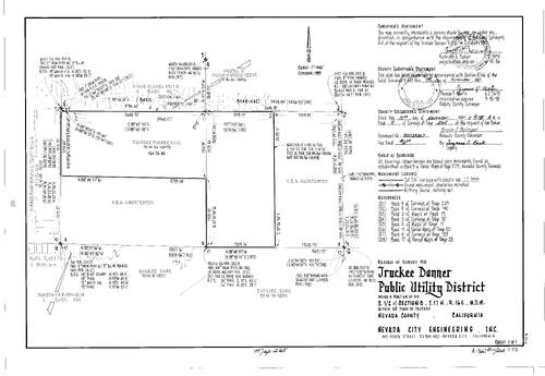
Record of Survey Book 11, pg. 265 (1995)
NC Recorders Map Survey 11-265:
NC Recorders Map Survey 11-265:
Truckee Donner Public Utility District. T17N R16E Sec. 8. Tahoe Donner Unit 5. Subdivision Book 4, pg. 36. Donner Camp Buckingham Tract Roll 6. Armstrong Subdivision. Subdivision Book 1, pg. 114. Bilty Tract... See More
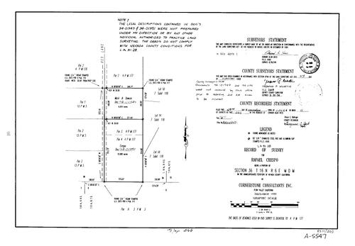
Record of Survey Book 11, pg. 266 (1995)
NC Recorders Map Survey 11-266:
Red lane. Parcel Map Book 4, pg. 177 parcel 2, 3, 4. Parcel Map Book 13, pg. 5 parcel 1-3. Subdivision Book 7, pg. 118 lot 10, 14, 18. Parcel Map Book 3, pg. 3 parcel A. Crespo, Rafael. T16N R6E Sec. 36
NC Recorders Map Survey 11-266:
Red lane. Parcel Map Book 4, pg. 177 parcel 2, 3, 4. Parcel Map Book 13, pg. 5 parcel 1-3. Subdivision Book 7, pg. 118 lot 10, 14, 18. Parcel Map Book 3, pg. 3 parcel A. Crespo, Rafael. T16N R6E Sec. 36

Record of Survey Book 11, pg. 267 (1995)
NC Recorders Map Survey 11-267:
T17N R8E Sec. 16. Tyler-Foote Crossing Rd.. Household Financial Corp.
NC Recorders Map Survey 11-267:
T17N R8E Sec. 16. Tyler-Foote Crossing Rd.. Household Financial Corp.
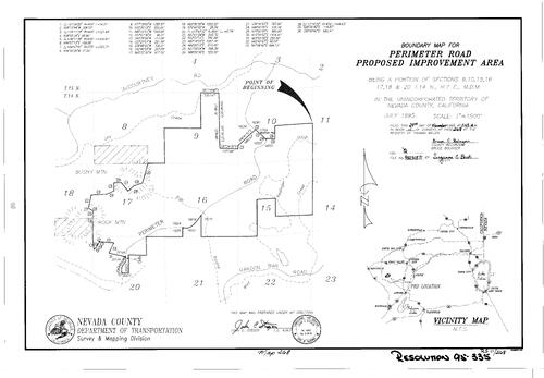
Record of Survey Book 11, pg. 268 (1995)
NC Recorders Map Survey 11-268:
NC Recorders Map Survey 11-268:
Perimeter Rd. proposed Improvement Area. T14N R7E Sec. 9. T14N R7E Sec. 10. T14N R7E Sec. 15. T14N R7E Sec. 16. T14N R7E Sec. 17. T14N R7E Sec. 18. T14N R7E Sec. 20. McCourtney Rd.. Dry Creek. Bush Mountain... See More
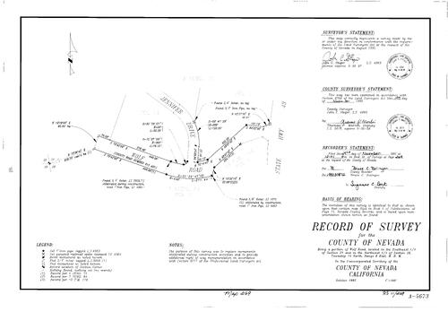
Record of Survey Book 11, pg. 269 (1995)
NC Recorders Map Survey 11-269:
Wolf Rd.. Jennifer Dr.. T14N R8E Sec. 21. T14N R8E Sec. 28
NC Recorders Map Survey 11-269:
Wolf Rd.. Jennifer Dr.. T14N R8E Sec. 21. T14N R8E Sec. 28

Record of Survey Book 11, pg. 270 (1995)
NC Recorders Map Survey 11-270:
NC Recorders Map Survey 11-270:
Landsburg & Whitney. T15N R8E Sec. 34. Lime Kiln Rd., East. Landsburg, Ron & Sally. Parcel Map Book 8, pg. 48 parcel 2, 3. Bullion Fire Protection District. Parcel Map Book 9, pg. 127 parcel B, C. Parcel Map Book... See More

Record of Survey Book 11, pg. 271 (1995)
NC Recorders Map Survey 11-271:
Hopper, Billy. T15N R9E Sec. 5. Peardale Rd.. Buena Vista Ranch lot 30. Subdivision Book 1, pg. 29 lot 30
NC Recorders Map Survey 11-271:
Hopper, Billy. T15N R9E Sec. 5. Peardale Rd.. Buena Vista Ranch lot 30. Subdivision Book 1, pg. 29 lot 30
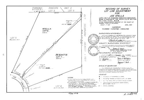
Record of Survey Book 11, pg. 272 (1995)
NC Recorders Map Survey 11-272:
Stella, Joe. Pannonia Ranchos Subdivision lot 6, 7. T18N R16E Sec. 36. Vidi Circle
NC Recorders Map Survey 11-272:
Stella, Joe. Pannonia Ranchos Subdivision lot 6, 7. T18N R16E Sec. 36. Vidi Circle
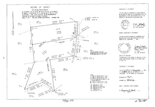
Record of Survey Book 11, pg. 273 (1995)
NC Recorders Map Survey 11-273:
Schaefer, Ton. Big Oak Valley lot 26, parcel D, lot 27. Parcel Map Book 10, pg. 179 parcel 1. Parcel Map Book 13, pg. 23 parcel 1. T15N R6E Sec. 1. Shepard Rd.. Witch's Butter Lane
NC Recorders Map Survey 11-273:
Schaefer, Ton. Big Oak Valley lot 26, parcel D, lot 27. Parcel Map Book 10, pg. 179 parcel 1. Parcel Map Book 13, pg. 23 parcel 1. T15N R6E Sec. 1. Shepard Rd.. Witch's Butter Lane

Record of Survey Book 11, pg. 274 (1995)
NC Recorders Map Survey 11-274:
Glenshire Mutual Water Co.. Glenshire Unit No. 2 lot A & 178. Subdivision Book 3, pg. 41 lot A & 177-178. T17N R17E Sec. 4. Sommerset Dr.. Holland Trust. Glenshire Residents Association Inc.
NC Recorders Map Survey 11-274:
Glenshire Mutual Water Co.. Glenshire Unit No. 2 lot A & 178. Subdivision Book 3, pg. 41 lot A & 177-178. T17N R17E Sec. 4. Sommerset Dr.. Holland Trust. Glenshire Residents Association Inc.
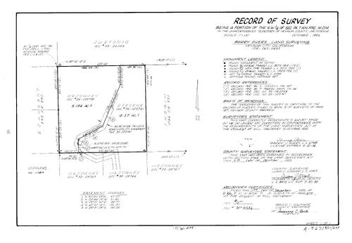
Record of Survey Book 11, pg. 275 (1995)
NC Recorders Map Survey 11-275:
T16N R9E Sec. 26. Mecorney, Bill
NC Recorders Map Survey 11-275:
T16N R9E Sec. 26. Mecorney, Bill

Record of Survey Book 11, pg. 276 (1995)
NC Recorders Map Survey 11-276:
NC Recorders Map Survey 11-276:
Chicago Park Ditch. Rattlesnake Ditch. Duncombe & Kirshman. T16N R9E Sec. 31. Beauview Rd... See More

Record of Survey Book 11, pg. 277 (1996)
NC Recorders Map Survey 11-277:
Rutherford Road Permanent Road Division. T14N R8E Sec. 24. T14N R8E Sec. 25. Quequod Rd.. Pinnacle Circle. West View Ct.. East Ridge Dr.. Magnolia Rd.. Pine Ridge Way. Pine Mountain Ranch Unit No. 1
NC Recorders Map Survey 11-277:
Rutherford Road Permanent Road Division. T14N R8E Sec. 24. T14N R8E Sec. 25. Quequod Rd.. Pinnacle Circle. West View Ct.. East Ridge Dr.. Magnolia Rd.. Pine Ridge Way. Pine Mountain Ranch Unit No. 1

Record of Survey Book 11, pg. 278 (1996)
NC Recorders Map Survey 11-278:
Greenhorn Creek. You Bet Rd.. Parcel Map Book 2, pg. 152 parcel C, D. T15N R9E Sec. 2. Parcel Map Book 1, pg. 147 parcel B, C, D. Parcel Map Book 14, pg. 105 parcel 2
NC Recorders Map Survey 11-278:
Greenhorn Creek. You Bet Rd.. Parcel Map Book 2, pg. 152 parcel C, D. T15N R9E Sec. 2. Parcel Map Book 1, pg. 147 parcel B, C, D. Parcel Map Book 14, pg. 105 parcel 2

Record of Survey Book 11, pg. 279 (1996)
NC Recorders Map Survey 11-279:
A & A Air Conditioning, Heating & Sheet Metal. Auburn St., South. Newmont Expl. Ltd. V. C. P. Inc.. Pacific Coast Building Products Inc.. T16N R8E Sec. 34
NC Recorders Map Survey 11-279:
A & A Air Conditioning, Heating & Sheet Metal. Auburn St., South. Newmont Expl. Ltd. V. C. P. Inc.. Pacific Coast Building Products Inc.. T16N R8E Sec. 34

Record of Survey Book 11, pg. 280 (1996)
NC Recorders Map Survey 11-280:
Leach, Jim. T16N R7E Sec. 11. T16N R7E Sec. 14. Bitney Springs Rd.. Horizons Unlimited Inc.
NC Recorders Map Survey 11-280:
Leach, Jim. T16N R7E Sec. 11. T16N R7E Sec. 14. Bitney Springs Rd.. Horizons Unlimited Inc.

Record of Survey Book 11, pg. 281 (1996)
NC Recorders Map Survey 11-281:
Thompson, Patricia. You Bet Rd.. Rollins Reservoir. Thompson & Pusheck. T14N R15E Sec. 11
NC Recorders Map Survey 11-281:
Thompson, Patricia. You Bet Rd.. Rollins Reservoir. Thompson & Pusheck. T14N R15E Sec. 11

Record of Survey Book 11, pg. 282 (1996)
NC Recorders Map Survey 11-282:
Subdivision Book 7, pg. 116 lot 1, 2. T16N R9E Sec. 18. DeSena, Chris. Gold Flat Rd.. Railroad Avenue (Nevada City)
NC Recorders Map Survey 11-282:
Subdivision Book 7, pg. 116 lot 1, 2. T16N R9E Sec. 18. DeSena, Chris. Gold Flat Rd.. Railroad Avenue (Nevada City)
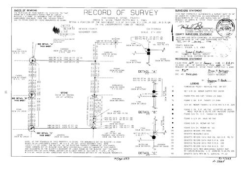
Record of Survey Book 11, pg. 283 (1996)
NC Recorders Map Survey 11-283:
Stein, Orrin B., trustee. T17N R16E Sec. 3
NC Recorders Map Survey 11-283:
Stein, Orrin B., trustee. T17N R16E Sec. 3

Record of Survey Book 11, pg. 284 (1996)
NC Recorders Map Survey 11-284:
Sierra Pines United Methodist Church. Hacienda Dr., West. Hacienda Dr., West, Permanent Road Division
NC Recorders Map Survey 11-284:
Sierra Pines United Methodist Church. Hacienda Dr., West. Hacienda Dr., West, Permanent Road Division
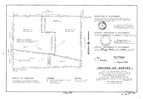
Record of Survey Book 11, pg. 285 (1996)
NC Recorders Map Survey 11-285:
Parcel Map Book 11, pg. 245 parcel A, B,C,D. T15N R8E Sec. 28. Shire Court. Parcel Map Book 7, pg. 190 parcel B, D. Davis, Robert & Matilda
NC Recorders Map Survey 11-285:
Parcel Map Book 11, pg. 245 parcel A, B,C,D. T15N R8E Sec. 28. Shire Court. Parcel Map Book 7, pg. 190 parcel B, D. Davis, Robert & Matilda
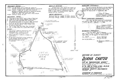
Record of Survey Book 11, pg. 286 (1996)
NC Recorders Map Survey 11-286:
Carter, Diana. Brookview Acres lot 41. Subdivision Book 2, pg. 54 lot 41. T15N R9E Sec. 6. Crescent Dr.
NC Recorders Map Survey 11-286:
Carter, Diana. Brookview Acres lot 41. Subdivision Book 2, pg. 54 lot 41. T15N R9E Sec. 6. Crescent Dr.

Record of Survey Book 11, pg. 287 (1996)
NC Recorders Map Survey 11-287:
Costello & Sons. Button Works Inc.. Nevada City Townsite Block 31 lot 9. Broad St. (Nevada City). Pine St. (Nevada City). Spring St. (Nevada City). Nevada City City of
NC Recorders Map Survey 11-287:
Costello & Sons. Button Works Inc.. Nevada City Townsite Block 31 lot 9. Broad St. (Nevada City). Pine St. (Nevada City). Spring St. (Nevada City). Nevada City City of
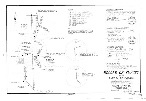
Record of Survey Book 11, pg. 288 (1996)
NC Recorders Map Survey 11-288-1:
Nevada County. Pleasant Valley Rd.. Bitney Springs Rd.. T16N R7E Sec. 9
NC Recorders Map Survey 11-288-1:
Nevada County. Pleasant Valley Rd.. Bitney Springs Rd.. T16N R7E Sec. 9
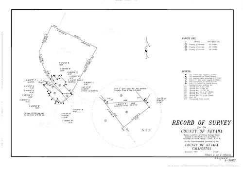
Record of Survey Book 11, pg. 288 (1996)
NC Recorders Map Survey 11-288-2:
Nevada County. Pleasant Valley Rd.. Bitney Springs Rd.. T16N R7E Sec. 9
NC Recorders Map Survey 11-288-2:
Nevada County. Pleasant Valley Rd.. Bitney Springs Rd.. T16N R7E Sec. 9

Record of Survey Book 11, pg. 289 (1996)
NC Recorders Map Survey 11-289:
Graves, Mike. T15N R8E Sec. 10. Sunnyglade Rd.. Nehring, N. D. trust. Parcel Map Book 5, pg. 165 parcel A
NC Recorders Map Survey 11-289:
Graves, Mike. T15N R8E Sec. 10. Sunnyglade Rd.. Nehring, N. D. trust. Parcel Map Book 5, pg. 165 parcel A
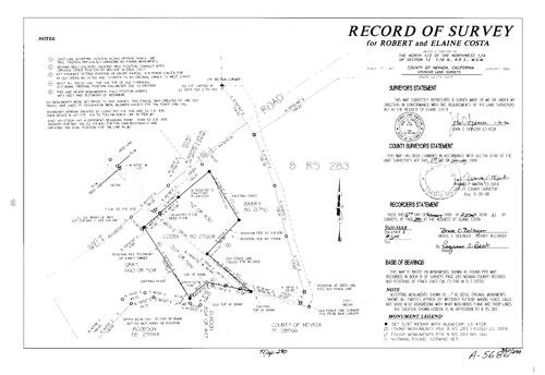
Record of Survey Book 11, pg. 290 (1996)
NC Recorders Map Survey 11-290:
Costa, Robert & Elaine. T16N R8E Sec. 12. Wet Hill Rd.
NC Recorders Map Survey 11-290:
Costa, Robert & Elaine. T16N R8E Sec. 12. Wet Hill Rd.
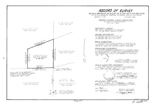
Record of Survey Book 11, pg. 291 (1996)
NC Recorders Map Survey 11-291:
Contreras, Natchi. Parcel Map Book 17, pg. 182 parcel 3. Parcel Map Book 9, pg. 137. T17N R8E Sec. 7
NC Recorders Map Survey 11-291:
Contreras, Natchi. Parcel Map Book 17, pg. 182 parcel 3. Parcel Map Book 9, pg. 137. T17N R8E Sec. 7

Record of Survey Book 11, pg. 292(1996)
NC Recorders Map Survey 11-292:
Osborne Hill Rd. Permanent Road Division. Hidden Glen Lot 1. Colfax Hwy.. Rattlesnake Rd.. T16N R8E Sec. 35
NC Recorders Map Survey 11-292:
Osborne Hill Rd. Permanent Road Division. Hidden Glen Lot 1. Colfax Hwy.. Rattlesnake Rd.. T16N R8E Sec. 35
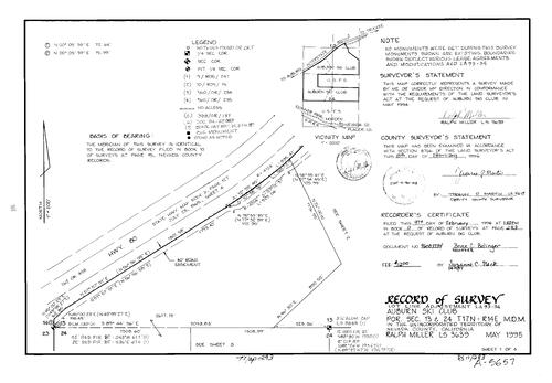
Record of Survey Book 11, pg. 293(1996)
NC Recorders Map Survey 11-293-1:
Auburn Ski Club. T17N R14E Sec. 13. T17N R14E Sec. 24. I-80
NC Recorders Map Survey 11-293-1:
Auburn Ski Club. T17N R14E Sec. 13. T17N R14E Sec. 24. I-80

Record of Survey Book 11, pg. 293(1996)
NC Recorders Map Survey 11-293-2:
Auburn Ski Club. T17N R14E Sec. 13. T17N R14E Sec. 24. I-80
NC Recorders Map Survey 11-293-2:
Auburn Ski Club. T17N R14E Sec. 13. T17N R14E Sec. 24. I-80

Record of Survey Book 11, pg. 293(1996)
NC Recorders Map Survey 11-293-3:
Auburn Ski Club. T17N R14E Sec. 13. T17N R14E Sec. 24. I-80
NC Recorders Map Survey 11-293-3:
Auburn Ski Club. T17N R14E Sec. 13. T17N R14E Sec. 24. I-80
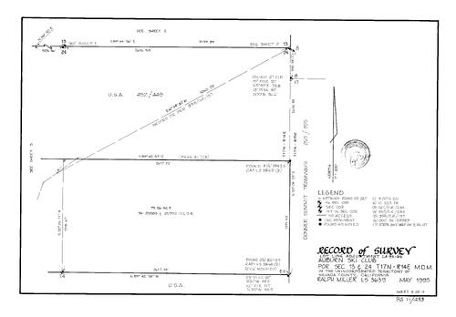
Record of Survey Book 11, pg. 293(1996)
NC Recorders Map Survey 11-293-4:
Auburn Ski Club. T17N R14E Sec. 13. T17N R14E Sec. 24. I-80
NC Recorders Map Survey 11-293-4:
Auburn Ski Club. T17N R14E Sec. 13. T17N R14E Sec. 24. I-80
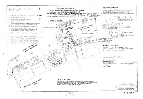
Record of Survey Book 11, pg. 294 (1996)
NC Recorders Map Survey 11-294:
T17N R15E Sec. 14. Donner Village Subdivision Block A lot 8, 9. Subdivision Book 1, pg. 83 Block A lot 8, 9. Donner Pass Rd.. Donner Lake Utility Co.
NC Recorders Map Survey 11-294:
T17N R15E Sec. 14. Donner Village Subdivision Block A lot 8, 9. Subdivision Book 1, pg. 83 Block A lot 8, 9. Donner Pass Rd.. Donner Lake Utility Co.

Record of Survey Book 11, pg. 295 (1996)
NC Recorders Map Survey 11-295:
Teran, Louise. Donner Pines Tract Extension Block B lot 1, 2. Subdivision Book 1, pg. 92 Block B lot 1, 2. T17N R16E Sec. 18. Moraine Rd.. Rock St.. Donner Pass Rd.
NC Recorders Map Survey 11-295:
Teran, Louise. Donner Pines Tract Extension Block B lot 1, 2. Subdivision Book 1, pg. 92 Block B lot 1, 2. T17N R16E Sec. 18. Moraine Rd.. Rock St.. Donner Pass Rd.

Record of Survey Book 11, pg. 296 (1996)
NC Recorders Map Survey 11-296:
NC Recorders Map Survey 11-296:
Archie, Roxie. McIver, Victoria. Lombard, Joseph F.. Truckee Falls G. P.. Parcel Map Book 18, pg. 115 parcel 1, 4. Parcel Map Book 18, pg. 32. Donner Pass Rd.. Truckee Donner Public Utility District. Frates Lane... See More

Record of Survey Book 11, pg. 297 (1996)
NC Recorders Map Survey 11-297:
Sunset Reservoir. T16N R8E Sec. 20. Nevada Irrigation District. Butler Bros.-Scotia Inc.
NC Recorders Map Survey 11-297:
Sunset Reservoir. T16N R8E Sec. 20. Nevada Irrigation District. Butler Bros.-Scotia Inc.

Record of Survey Book 11, pg. 298 (1996)
NC Recorders Map Survey 11-298:
McEwan, Richard et ux. Skinner, B.. Strubel's Lane. Tarr Ditch. Retrac Way. Boucher Enterprises Inc.. Harter Family Trust. T15N R8E Sec.18
NC Recorders Map Survey 11-298:
McEwan, Richard et ux. Skinner, B.. Strubel's Lane. Tarr Ditch. Retrac Way. Boucher Enterprises Inc.. Harter Family Trust. T15N R8E Sec.18

Record of Survey Book 11, pg. 299 (1996)
NC Recorders Map Survey 11-299:
Wood, William J.. Gold Hill Dr.. Orchard Way. Kendall St.. Park St. (Grass Valley). T16N R8E Sec. 26. Kendallco Subdivision Block C lot 1, 2
NC Recorders Map Survey 11-299:
Wood, William J.. Gold Hill Dr.. Orchard Way. Kendall St.. Park St. (Grass Valley). T16N R8E Sec. 26. Kendallco Subdivision Block C lot 1, 2

Record of Survey Book 11, pg. 300 (1996)
NC Recorders Map Survey 11-300:
Silver, R. A. & Janet. T18N R17E Sec. 34. Floriston Ave.. Juniper Way. Subdivison Book 1, pg. 37 lot 34. Hirschdale on the Truckee
NC Recorders Map Survey 11-300:
Silver, R. A. & Janet. T18N R17E Sec. 34. Floriston Ave.. Juniper Way. Subdivison Book 1, pg. 37 lot 34. Hirschdale on the Truckee

Record of Survey Book 11, pg. 301 (1996)
NC Recorders Map Survey 11-301:
Lindeman, Barbara. T16N R9E Sec. 34. Jones Ridge Rd.. Julia Ranch Rd.. Buena Vista Fruit Tract lot 5. Subdivision Book 1, pg. 22 lot 5
NC Recorders Map Survey 11-301:
Lindeman, Barbara. T16N R9E Sec. 34. Jones Ridge Rd.. Julia Ranch Rd.. Buena Vista Fruit Tract lot 5. Subdivision Book 1, pg. 22 lot 5

Record of Survey Book 11, pg. 302 (1996)
NC Recorders Map Survey 11-302:
T16N R7E Sec. 27. Baker, Frances E.. Dusty Trail. Pioneer Way. Brower Dr.. Parcel Map Book 6, pg. 76 parcel 2, 3, 4. Parcel Map Book 13, pg. 70 parcel 4. Parcel Map Book 6, pg. 110 parcel 1
NC Recorders Map Survey 11-302:
T16N R7E Sec. 27. Baker, Frances E.. Dusty Trail. Pioneer Way. Brower Dr.. Parcel Map Book 6, pg. 76 parcel 2, 3, 4. Parcel Map Book 13, pg. 70 parcel 4. Parcel Map Book 6, pg. 110 parcel 1

Record of Survey Book 11, pg. 303 (1996)
NC Recorders Map Survey 11-303:
T17N R11E Sec. 16. Sunrise Land & Minerals Corp.. Sierra Pacific Ind.
NC Recorders Map Survey 11-303:
T17N R11E Sec. 16. Sunrise Land & Minerals Corp.. Sierra Pacific Ind.

Record of Survey Book 11, pg. 304 (1996)
NC Recorders Map Survey 11-304:
T17N R8E Sec. 17. DeMartini, Tim. Newtown Rd.. Jones Bar Rd.. Subdivision Book 4, pg. 14 lot 10. Parcel Map Book 7, pg. 110 parcel D
NC Recorders Map Survey 11-304:
T17N R8E Sec. 17. DeMartini, Tim. Newtown Rd.. Jones Bar Rd.. Subdivision Book 4, pg. 14 lot 10. Parcel Map Book 7, pg. 110 parcel D

Record of Survey Book 11, pg. 305 (1996)
NC Recorders Map Survey 11-305:
Gelhaus Family Trust. Smith & Ream. T15N R9E Sec. 15. Quail Ridge Ct.
NC Recorders Map Survey 11-305:
Gelhaus Family Trust. Smith & Ream. T15N R9E Sec. 15. Quail Ridge Ct.
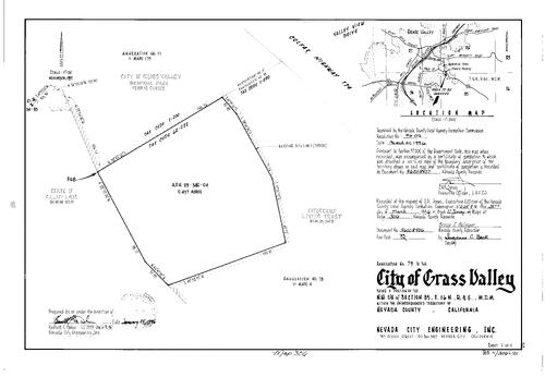
Record of Survey Book 11, pg. 306 (1996)
NC Recorders Map Survey 11-306:
Grass Valley Annexation No. 79. T16N R8E Sec. 35. Colfax Hwy.. State Highway 174. Valley View Dr.. Memorial Park Tennis Courts
NC Recorders Map Survey 11-306:
Grass Valley Annexation No. 79. T16N R8E Sec. 35. Colfax Hwy.. State Highway 174. Valley View Dr.. Memorial Park Tennis Courts
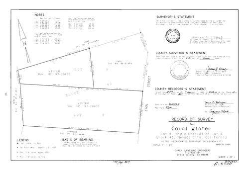
Record of Survey Book 11, pg. 307 (1996)
NC Recorders Map Survey 11-307:
Winter, Carol. Nevada City Block 43 lot 8, 9. Zion St.
NC Recorders Map Survey 11-307:
Winter, Carol. Nevada City Block 43 lot 8, 9. Zion St.

Record of Survey Book 11, pg. 308 (1996)
NC Recorders Map Survey 11-308:
Jones et al property. T18N R10E Sec. 29. Backbone Rd.. Sierra Pacific Ind.. Carr, E.
NC Recorders Map Survey 11-308:
Jones et al property. T18N R10E Sec. 29. Backbone Rd.. Sierra Pacific Ind.. Carr, E.

Record of Survey Book 11, pg. 309 (1996)
NC Recorders Map Survey 11-309:
Rodrick, Silvia. T17N R11E Sec. 34. Parcel Map Book 3, pg. 105 parcel A. Zeibright Rd.. Donna Mine Corp.. Bear River. Nevada/Placer County line
NC Recorders Map Survey 11-309:
Rodrick, Silvia. T17N R11E Sec. 34. Parcel Map Book 3, pg. 105 parcel A. Zeibright Rd.. Donna Mine Corp.. Bear River. Nevada/Placer County line
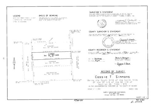
Record of Survey Book 11, pg. 310 (1996)
NC Recorders Map Survey 11-310:
Simmons, Cassie T.. T16N R7E Sec. 36. Deadmans Flat
NC Recorders Map Survey 11-310:
Simmons, Cassie T.. T16N R7E Sec. 36. Deadmans Flat

Record of Survey Book 11, pg. 311 (1996)
NC Recorders Map Survey 11-311:
DeLong, John W.. Donner Pines Tract lot 4. Subdivision Book 1, pg. 84 lot 4. Donner Pass Rd.. Donner Lake
NC Recorders Map Survey 11-311:
DeLong, John W.. Donner Pines Tract lot 4. Subdivision Book 1, pg. 84 lot 4. Donner Pass Rd.. Donner Lake

Record of Survey Book 11, pg. 312 (1996)
NC Recorders Map Survey 11-312:
Broadview Heights Block 3 lot 2. T16N R8E Sec. 27. Hill St. (Grass Valley). Leahy Rd.
NC Recorders Map Survey 11-312:
Broadview Heights Block 3 lot 2. T16N R8E Sec. 27. Hill St. (Grass Valley). Leahy Rd.

Record of Survey Book 11, pg. 313 (1996)
NC Recorders Map Survey 11-313:
Grass Valley Townsite Block 32 lot 5. Bennett St. (Grass Valley). Henderson St.. Colfax Ave.. Christman, Peter
NC Recorders Map Survey 11-313:
Grass Valley Townsite Block 32 lot 5. Bennett St. (Grass Valley). Henderson St.. Colfax Ave.. Christman, Peter

Record of Survey Book 11, pg. 314 (1996)
NC Recorders Map Survey 11-314:
Zupan, Frank. T15N R8E Sec. 18. Retrac Way. Dry Creek. Parcel Map Book 8, pg. 106 parcel B, C. Parcel Map Book 5, pg. 236 parcel A. Parcel Map Book 15, pg. 123 parcel 2
NC Recorders Map Survey 11-314:
Zupan, Frank. T15N R8E Sec. 18. Retrac Way. Dry Creek. Parcel Map Book 8, pg. 106 parcel B, C. Parcel Map Book 5, pg. 236 parcel A. Parcel Map Book 15, pg. 123 parcel 2

Record of Survey Book 11, pg. 315 (1996)
NC Recorders Map Survey 11-315:
Juvinall, T., et al. T16N R8E Sec. 14. T16N R8E Sec. 23. Glenwood Rd.. Maidu Lane. Atkins Rd.
NC Recorders Map Survey 11-315:
Juvinall, T., et al. T16N R8E Sec. 14. T16N R8E Sec. 23. Glenwood Rd.. Maidu Lane. Atkins Rd.

Record of Survey Book 11, pg. 316 (1996)
NC Recorders Map Survey 11-316:
Buerer, Keith. T16N R9E Sec. 20. Hillcrest Dr.. Hillcrest Ct.. Subdivision Book 2, pg. 52 lot 15
NC Recorders Map Survey 11-316:
Buerer, Keith. T16N R9E Sec. 20. Hillcrest Dr.. Hillcrest Ct.. Subdivision Book 2, pg. 52 lot 15

Record of Survey Book 11, pg. 317 (1996)
NC Recorders Map Survey 11-317:
Lester, Marjorie. T16N R8E Sec. 19. Parcel Map Book 8, pg. 36 parcel B, C. Rough & Ready Hwy.
NC Recorders Map Survey 11-317:
Lester, Marjorie. T16N R8E Sec. 19. Parcel Map Book 8, pg. 36 parcel B, C. Rough & Ready Hwy.

Record of Survey Book 11, pg. 318 (1996)
NC Recorders Map Survey 11-318:
Banner Quaker Hill Rd.. China Close. Slaven, Richard & Dolores. T16N R10E Sec. 7. Cascade Shores No. 5 lot 10, 11. Sandberg, J. & M.. Miller, H. & D.. Morgan, D.. Campbell, R. & C.. Arnett, R. & K.
NC Recorders Map Survey 11-318:
Banner Quaker Hill Rd.. China Close. Slaven, Richard & Dolores. T16N R10E Sec. 7. Cascade Shores No. 5 lot 10, 11. Sandberg, J. & M.. Miller, H. & D.. Morgan, D.. Campbell, R. & C.. Arnett, R. & K.

Record of Survey Book 11, pg. 319 (1996)
NC Recorders Map Survey 11-319:
Robinson & Sons. State of California. T16N R8E Sec. 13. Nevada City Hwy.. Gold Flat Rd.. Nevada City Armory (Nevada City Hwy.). Sierra United Presbyterian Church
NC Recorders Map Survey 11-319:
Robinson & Sons. State of California. T16N R8E Sec. 13. Nevada City Hwy.. Gold Flat Rd.. Nevada City Armory (Nevada City Hwy.). Sierra United Presbyterian Church

Record of Survey Book 11, pg. 320 (1996)
NC Recorders Map Survey 11-320:
Baisley, Arthur F.. T16N R7E Sec. 34. Penn Valley Dr.. Spenceville Rd.. Parcel Map Boook 18, pg. 155. Bank of Commerce. Penn Valley Medical Clinic. Penn Valley Volunteer Fire Department
NC Recorders Map Survey 11-320:
Baisley, Arthur F.. T16N R7E Sec. 34. Penn Valley Dr.. Spenceville Rd.. Parcel Map Boook 18, pg. 155. Bank of Commerce. Penn Valley Medical Clinic. Penn Valley Volunteer Fire Department
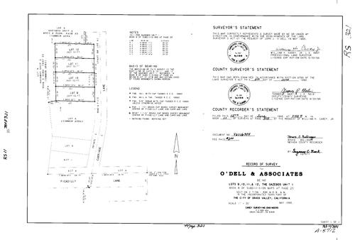
Record of Survey Book 11, pg. 321 (1996)
NC Recorders Map Survey 11-321:
O'Dell, John J.. Gazebos Unit I lot 9, 10, 11, 12. Subdivision Book 8, pg. 25 lot 9, 10, 11, 12. T15N R8E Sec. 2. Gazebos Unit II. Carriage Lane. Picadilly Lane
NC Recorders Map Survey 11-321:
O'Dell, John J.. Gazebos Unit I lot 9, 10, 11, 12. Subdivision Book 8, pg. 25 lot 9, 10, 11, 12. T15N R8E Sec. 2. Gazebos Unit II. Carriage Lane. Picadilly Lane

Record of Survey Book 11, pg. 322 (1996)
NC Recorders Map Survey 11-322:
Sierra Memorial Lawn Cemetery Garden E. T16N R9E Sec. 13. Golden Center Freeway. Bost Ave.. Hollow Way
NC Recorders Map Survey 11-322:
Sierra Memorial Lawn Cemetery Garden E. T16N R9E Sec. 13. Golden Center Freeway. Bost Ave.. Hollow Way

Record of Survey Book 11, pg. 323 (1996)
NC Recorders Map Survey 11-323:
Nevada City Annexation (proposed). T16N R8E Sec. 13. Nevada City Hwy.. Superior Propane. Golden Center Freeway. Lower Grass Valley Rd.
NC Recorders Map Survey 11-323:
Nevada City Annexation (proposed). T16N R8E Sec. 13. Nevada City Hwy.. Superior Propane. Golden Center Freeway. Lower Grass Valley Rd.

Record of Survey Book 11, pg. 324 (1996)
NC Recorders Map Survey 11-324:
McGlashan's addition to Truckee Block H lot 23-25. I-80. Cora St.. Perkins St.
NC Recorders Map Survey 11-324:
McGlashan's addition to Truckee Block H lot 23-25. I-80. Cora St.. Perkins St.

Record of Survey Book 11, pg. 325 (1996)
NC Recorders Map Survey 11-325:
NC Recorders Map Survey 11-325:
T15N R9E Sec. 16. Parcel Map Book 15, pg. 84 parcel A, B. Bierwagen Trust. State Highway 174... See More
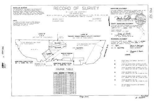
Record of Survey Book 11, pg. 326 (1996)
NC Recorders Map Survey 11-326:
Sunrise Bank. T17N R16E Sec. 17. Armstrong Subdivision. Subdivision book 1, pg. 114. Northwoods Blvd.. Truckee Donner Public Utility District
NC Recorders Map Survey 11-326:
Sunrise Bank. T17N R16E Sec. 17. Armstrong Subdivision. Subdivision book 1, pg. 114. Northwoods Blvd.. Truckee Donner Public Utility District
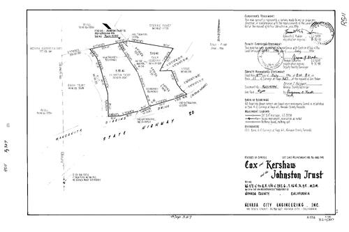
Record of Survey Book 11, pg. 327 (1996)
NC Recorders Map Survey 11-327:
Cox & Kershaw. Johnston Trust. T16N R9E Sec. 6. State Highway 20. Manzanita Diggins Dr.. Johnston, Arthur
NC Recorders Map Survey 11-327:
Cox & Kershaw. Johnston Trust. T16N R9E Sec. 6. State Highway 20. Manzanita Diggins Dr.. Johnston, Arthur

Record of Survey Book 11, pg. 328 (1996)
NC Recorders Map Survey 11-328:
Nevada City Townsite Block 6 lot 1. High St. (Nevada City). Schremp, Thomas
NC Recorders Map Survey 11-328:
Nevada City Townsite Block 6 lot 1. High St. (Nevada City). Schremp, Thomas

Record of Survey Book 11, pg. 329 (1996)
NC Recorders Map Survey 11-329:
Blabon, D.. Tyler, C.. McCroskey, W.. Subdivision Book 2, pg. 86 lot 67. Subdivision Book 3, pg. 36 lot 10, 11. T15N R8E Sec. 24. Rainbow Rd.. Avern Way
NC Recorders Map Survey 11-329:
Blabon, D.. Tyler, C.. McCroskey, W.. Subdivision Book 2, pg. 86 lot 67. Subdivision Book 3, pg. 36 lot 10, 11. T15N R8E Sec. 24. Rainbow Rd.. Avern Way

Record of Survey Book 11, pg. 330 (1996)
NC Recorders Map Survey 11-330:
Hughes, David. T16N R7E Sec. 36. Grub Creek Ranches. Subdivision Book 7, pg. 1 parcel 5. Gallagher, C.. Iddings, E.. Dokimos, D.. Fox, W.
NC Recorders Map Survey 11-330:
Hughes, David. T16N R7E Sec. 36. Grub Creek Ranches. Subdivision Book 7, pg. 1 parcel 5. Gallagher, C.. Iddings, E.. Dokimos, D.. Fox, W.
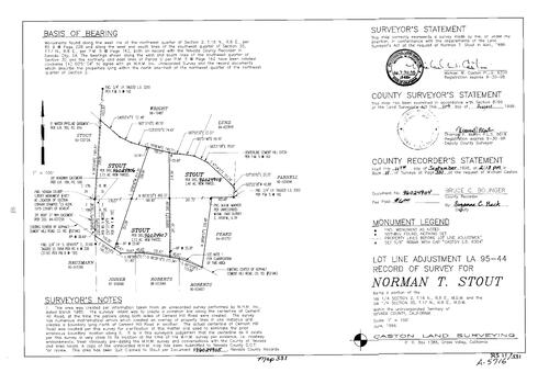
Record of Survey Book 11, pg. 331 (1996)
NC Recorders Map Survey 11-331:
Stout, Norman T.. T16N R8E Sec. 2. T17N R8E Sec. 35. Cement Hill Ditch. Cement Hill Rd.
NC Recorders Map Survey 11-331:
Stout, Norman T.. T16N R8E Sec. 2. T17N R8E Sec. 35. Cement Hill Ditch. Cement Hill Rd.
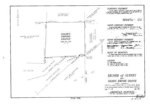
Record of Survey Book 11, pg. 332 (1996)
NC Recorders Map Survey 11-332:
Golden Empire Grange. T15N R8E Sec. 2. Czarnowski, P.. Motherlode Communities. Sauder, R. D.. Newmont Expl. Ltd.. Craig, R. & D.. Hansen Bros. Ent.. Amsel Way
NC Recorders Map Survey 11-332:
Golden Empire Grange. T15N R8E Sec. 2. Czarnowski, P.. Motherlode Communities. Sauder, R. D.. Newmont Expl. Ltd.. Craig, R. & D.. Hansen Bros. Ent.. Amsel Way

Record of Survey Book 11, pg. 333 (1996)
NC Recorders Map Survey 11-333:
Milton & Kenneth Lewis. T16N R8E Sec. 28. Lewis Trust. Roosevelt Dr.. Robin Ave.. Parcel Map Book 3, pg. 136 parcel A, C. Parcel Map Book 1, pg. 23 parcel C, D
NC Recorders Map Survey 11-333:
Milton & Kenneth Lewis. T16N R8E Sec. 28. Lewis Trust. Roosevelt Dr.. Robin Ave.. Parcel Map Book 3, pg. 136 parcel A, C. Parcel Map Book 1, pg. 23 parcel C, D

Record of Survey Book 11, pg. 334 (1996)
NC Recorders Map Survey 11-334:
Belcher, Cheryl. T16N R9E Sec. 7. Nevada St.. Old Washington Rd.
NC Recorders Map Survey 11-334:
Belcher, Cheryl. T16N R9E Sec. 7. Nevada St.. Old Washington Rd.
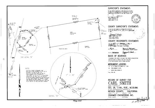
Record of Survey Book 11, pg. 335 (1996)
NC Recorders Map Survey 11-335:
Smith, Carl. T14N R8E Sec. 28
NC Recorders Map Survey 11-335:
Smith, Carl. T14N R8E Sec. 28
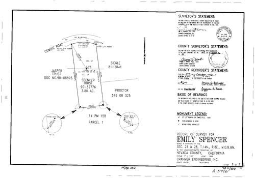
Record of Survey Book 11, pg. 336 (1996)
NC Recorders Map Survey 11-336:
Spencer, Emily. T14N r8E Sec. 21. T14N r8E Sec. 28. Combie Rd.. Parcel Map Book 14, pg. 158 parcel 1
NC Recorders Map Survey 11-336:
Spencer, Emily. T14N r8E Sec. 21. T14N r8E Sec. 28. Combie Rd.. Parcel Map Book 14, pg. 158 parcel 1
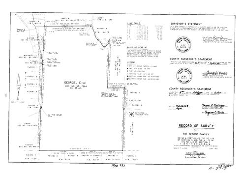
Record of Survey Book 11, pg. 337 (1996)
NC Recorders Map Survey 11-337-1:
NC Recorders Map Survey 11-337-1:
George Family. T15N R9E Sec. 6. T15N R9E Sec. 7. Lower Colfax Rd.. Parcel Map Book 12, pg. 19 parcel 1-4. Parcel Map Book 17, g. 69 parcel 2, 3. Parcel Map Book 3, pg. 42 parcel F. Parcel Map Book 15, pg. 40 lot... See More

Record of Survey Book 11, pg. 337 (1996)
NC Recorders Map Survey 11-337-2:
NC Recorders Map Survey 11-337-2:
George Family. T15N R9E Sec. 6. T15N R9E Sec. 7. Lower Colfax Rd.. Parcel Map Book 12, pg. 19 parcel 1-4. Parcel Map Book 17, g. 69 parcel 2, 3. Parcel Map Book 3, pg. 42 parcel F. Parcel Map Book 15, pg. 40 lot... See More

Record of Survey Book 11, pg. 338 (1996)
NC Recorders Map Survey 11-338:
Crowl, John B.. Uren St.. Nevada City Block 7 lot 3-6. Nevada St.
NC Recorders Map Survey 11-338:
Crowl, John B.. Uren St.. Nevada City Block 7 lot 3-6. Nevada St.

Record of Survey Book 11, pg. 339 (1996)
NC Recorders Map Survey 11-339:
NC Recorders Map Survey 11-339:
Nevada City Annexation No. 47. T16N R8E Sec. 13. T16N R9E Sec. 18. Searls Ave.. Golden Center Freeway. Bost Ave.. New Mohawk Rd.. Railroad Ave. (Nevada City). Nevada City Annexation No. 18. Church of Latter Day... See More

Record of Survey Book 11, pg. 340 (1996)
NC Recorders Map Survey 11-340:
NC Recorders Map Survey 11-340:
State Highway 49. Broad St., West. Conley St. (unimproved). Nevada City Cemetery. Spring St... See More

Record of Survey Book 11, pg. 341 (1996)
NC Recorders Map Survey 11-341:
NC Recorders Map Survey 11-341:
Peake, Charles A.. Parcel Map Book 9, pg. 183 parcel 3, 4. Parcel Map Book 3, pg. 223 parcel A. T16N R7E Sec. 8. John Born Rd.. Burlington Parkway. Parcel Map Book 9, pg. 215 parcel 1. Parcel Map Book 18, pg. 39... See More

Record of Survey Book 11, pg. 342 (1996)
NC Recorders Map Survey 11-342-1:
NC Recorders Map Survey 11-342-1:
United States Forest Service. Russel Cadastral Survey. T19N R17E Sec. 20. T19N R17E Sec. 21. T19N R17E Sec. 28. T19N R17E Sec. 29. T19N R17E Sec. 31. T19N R17E Sec. 32. T19N R17E Sec. 33. T18N R17E Sec. 4. T18N... See More
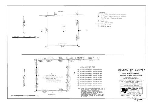
Record of Survey Book 11, pg. 342 (1996)
NC Recorders Map Survey 11-342-2:
NC Recorders Map Survey 11-342-2:
United States Forest Service. Russel Cadastral Survey. T19N R17E Sec. 20. T19N R17E Sec. 21. T19N R17E Sec. 28. T19N R17E Sec. 29. T19N R17E Sec. 31. T19N R17E Sec. 32. T19N R17E Sec. 33. T18N R17E Sec. 4. T18N... See More

Record of Survey Book 11, pg. 342 (1996)
NC Recorders Map Survey 11-342-3:
NC Recorders Map Survey 11-342-3:
United States Forest Service. Russel Cadastral Survey. T19N R17E Sec. 20. T19N R17E Sec. 21. T19N R17E Sec. 28. T19N R17E Sec. 29. T19N R17E Sec. 31. T19N R17E Sec. 32. T19N R17E Sec. 33. T18N R17E Sec. 4. T18N... See More
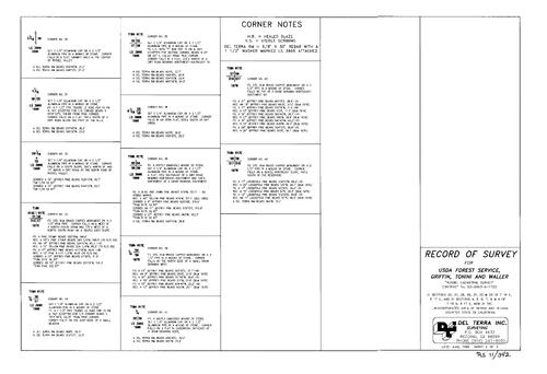
Record of Survey Book 11, pg. 342 (1996)
NC Recorders Map Survey 11-342-4:
NC Recorders Map Survey 11-342-4:
United States Forest Service. Russel Cadastral Survey. T19N R17E Sec. 20. T19N R17E Sec. 21. T19N R17E Sec. 28. T19N R17E Sec. 29. T19N R17E Sec. 31. T19N R17E Sec. 32. T19N R17E Sec. 33. T18N R17E Sec. 4. T18N R17E... See More
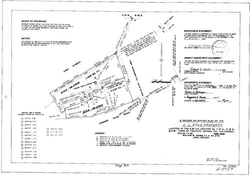
Record of Survey Book 11, pg. 343 (1996)
NC Recorders Map Survey 11-343:
Stile, A. J.. T17N R16E Sec. 15. High St. (Truckee). Donner Pass Rd.. Kerby Investment Co.
NC Recorders Map Survey 11-343:
Stile, A. J.. T17N R16E Sec. 15. High St. (Truckee). Donner Pass Rd.. Kerby Investment Co.

Record of Survey Book 11, pg. 344 (1996)
NC Recorders Map Survey 11-344:
Newell, Jack. T14N R9E Sec. 7. Parcel Map Book 1, pg. 180 parcel 9. Gunstock Rd.. Subdivision Book 2, pg. 97 lot 9. Bear River Knolls Unit No. 1
NC Recorders Map Survey 11-344:
Newell, Jack. T14N R9E Sec. 7. Parcel Map Book 1, pg. 180 parcel 9. Gunstock Rd.. Subdivision Book 2, pg. 97 lot 9. Bear River Knolls Unit No. 1
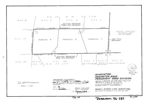
Record of Survey Book 11, pg. 345 (1996)
NC Recorders Map Survey 11-345:
Perimeter Rd. Permanent Road Div. Annexation. Gold Country Ranch Inc.. Parcel Map Book 13, pg. 174. Parcel Map Book 7, pg. 55 parcel 7. Parcel Map Book 6, pg. 230 parcel 1. Parcel Map Book 14, pg. 47
NC Recorders Map Survey 11-345:
Perimeter Rd. Permanent Road Div. Annexation. Gold Country Ranch Inc.. Parcel Map Book 13, pg. 174. Parcel Map Book 7, pg. 55 parcel 7. Parcel Map Book 6, pg. 230 parcel 1. Parcel Map Book 14, pg. 47
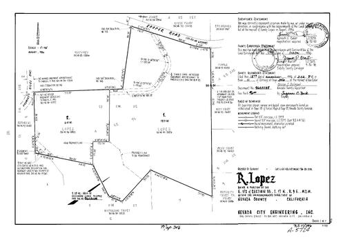
Record of Survey Book 11, pg. 346 (1996)
NC Recorders Map Survey 11-346:
Lopez, Randy. T17N R9E Sec. 33. Cooper Rd.. Harmony Ridge Rd.. Tingle Lane
NC Recorders Map Survey 11-346:
Lopez, Randy. T17N R9E Sec. 33. Cooper Rd.. Harmony Ridge Rd.. Tingle Lane

Record of Survey Book 11, pg. 347 (1996)
NC Recorders Map Survey 11-347:
Robinson, Tim & Maggie. T18N R17E Sec. 6. Parcel Map Book 8, pg. 230 parcel A, D
NC Recorders Map Survey 11-347:
Robinson, Tim & Maggie. T18N R17E Sec. 6. Parcel Map Book 8, pg. 230 parcel A, D

Record of Survey Book 11, pg. 348 (1996)
NC Recorders Map Survey 11-348-1:
Butler Bros.-Scotia Inc.. Kenny Ranch. Butler, LaRue. T16N R8E Sec. 20. T16N R8E Sec. 21. Rough & Ready Hwy.. Ridge Rd.. Adam Ave.
NC Recorders Map Survey 11-348-1:
Butler Bros.-Scotia Inc.. Kenny Ranch. Butler, LaRue. T16N R8E Sec. 20. T16N R8E Sec. 21. Rough & Ready Hwy.. Ridge Rd.. Adam Ave.

Record of Survey Book 11, pg. 348 (1996)
NC Recorders Map Survey 11-348-2:
Butler Bros.-Scotia Inc.. Kenny Ranch. Butler, LaRue. T16N R8E Sec. 20. T16N R8E Sec. 21. Rough & Ready Hwy.. Ridge Rd.. Adam Ave.
NC Recorders Map Survey 11-348-2:
Butler Bros.-Scotia Inc.. Kenny Ranch. Butler, LaRue. T16N R8E Sec. 20. T16N R8E Sec. 21. Rough & Ready Hwy.. Ridge Rd.. Adam Ave.
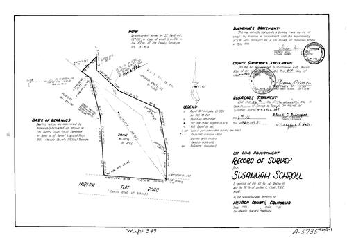
Record of Survey Book 11, pg. 349 (1996)
NC Recorders Map Survey 11-349:
Schroll, Susannah. T16N R8E Sec. 2. T16N R8E Sec. 11. Indian Flat Rd.. Erickson Realty Ltd.. Parcel Map Book 18, pg. 201 parcel 3
NC Recorders Map Survey 11-349:
Schroll, Susannah. T16N R8E Sec. 2. T16N R8E Sec. 11. Indian Flat Rd.. Erickson Realty Ltd.. Parcel Map Book 18, pg. 201 parcel 3

Record of Survey Book 11, pg. 350 (1996)
NC Recorders Map Survey 11-350:
Eva, Alice M.. Jill Rd.. Auburn St., North. Washington St. (Grass Valley). Broadview Ave.. Grass Valley Townsite Block 3 lot 3, 4. T16N R8E Sec. 27
NC Recorders Map Survey 11-350:
Eva, Alice M.. Jill Rd.. Auburn St., North. Washington St. (Grass Valley). Broadview Ave.. Grass Valley Townsite Block 3 lot 3, 4. T16N R8E Sec. 27
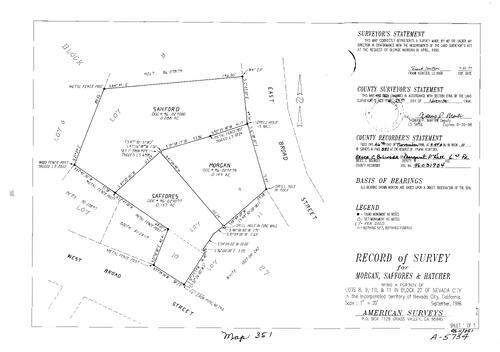
Record of Survey Book 11, pg. 351 (1996)
NC Recorders Map Survey 11-351:
Morgan, George. Saffores & Hatcher. Broad St., East. Broad St., West. Nevada City Block 27 lot 8, 9, 10, 11
NC Recorders Map Survey 11-351:
Morgan, George. Saffores & Hatcher. Broad St., East. Broad St., West. Nevada City Block 27 lot 8, 9, 10, 11
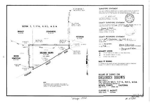
Record of Survey Book 11, pg. 352 (1996)
NC Recorders Map Survey 11-352:
Brown, Delores. T17N R8E Sec. 7. Pleasant Valley Rd.. Old Milton Rd.. Sweetland Creek. Brown Homestead
NC Recorders Map Survey 11-352:
Brown, Delores. T17N R8E Sec. 7. Pleasant Valley Rd.. Old Milton Rd.. Sweetland Creek. Brown Homestead
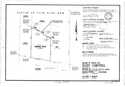
Record of Survey Book 11, pg. 353 (1996)
NC Recorders Map Survey 11-353:
Campbell, Ellen. T17N R10E Sec. 24. Phelps Hill Rd.. Old Washington Rd.. Campbell Trust
NC Recorders Map Survey 11-353:
Campbell, Ellen. T17N R10E Sec. 24. Phelps Hill Rd.. Old Washington Rd.. Campbell Trust
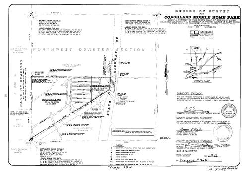
Record of Survey Book 11, pg. 354 (1996)
NC Recorders Map Survey 11-354:
NC Recorders Map Survey 11-354:
Coachland Mobile Home Park. T17N R16E Sec. 11. State Highway 89. Coachland Dr.. Tanglewood Dr.. Teakwood Dr.. Peachwood Dr.. Cottonwood Dr.. Pinewood Dr.. Rosewood Dr.. Cedarwood Dr.. Redwood Dr.. Hinton Lane... See More

Record of Survey Book 11, pg. 355 (1996)
NC Recorders Map Survey 11-355:
Wood, A. H.. Filipps, Brad. T16N R9E Sec. 18. Pinewoods Rd.
NC Recorders Map Survey 11-355:
Wood, A. H.. Filipps, Brad. T16N R9E Sec. 18. Pinewoods Rd.

Record of Survey Book 11, pg. 356 (1996)
NC Recorders Map Survey 11-356:
NC Recorders Map Survey 11-356:
Banaszak-McArthur. T17N R15E Sec. 13. Southside Highlands Subdivion No. 1. Subdivision Book 1, pg. 122. South Shore Dr.. Red Mountain Rd.. Mt. Judah Dr.. Devils Peak Rd.. Nevada/Placer County Line. Donner Lake... See More

Record of Survey Book 11, pg. 357 (1996)
NC Recorders Map Survey 11-357:
Grass Valley City Annexation. T16N R8E Sec. 26. Idaho-Maryland Rd.. Robertson Family Revocable Living Trust
NC Recorders Map Survey 11-357:
Grass Valley City Annexation. T16N R8E Sec. 26. Idaho-Maryland Rd.. Robertson Family Revocable Living Trust

Record of Survey Book 11, pg. 358 (1996)
NC Recorders Map Survey 11-358:
NC Recorders Map Survey 11-358:
Bastian, Jack. T16N R8E Sec. 26. Gold Hill Dr.. Footwall Dr.. General Casting Inc.. Nevada Joint Union High School District. Orchard Way. Kendallco Subdivision. Subdivision Book 1, pg. 74A. Parcel Map Book 18,... See More
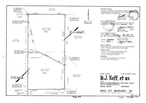
Record of Survey Book 11, pg. 359 (1996)
NC Recorders Map Survey 11-359:
Neff, W. J. et ux. T17N R9E Sec. 34. Neff Trust
NC Recorders Map Survey 11-359:
Neff, W. J. et ux. T17N R9E Sec. 34. Neff Trust

Record of Survey Book 11, pg. 360 (1996)
NC Recorders Map Survey 11-360-1:
Graniteville Twonsite resurvey. Survey Book 2, pg. 52. T18N R11E Sec. 9. T18N R11E Sec. 10. Sluice Way. Main St. (Graniteville). Doe Lane. Eureka-East Dr.. Poorman Creek. East Rd. (Graniteville). Arch's Rd.
NC Recorders Map Survey 11-360-1:
Graniteville Twonsite resurvey. Survey Book 2, pg. 52. T18N R11E Sec. 9. T18N R11E Sec. 10. Sluice Way. Main St. (Graniteville). Doe Lane. Eureka-East Dr.. Poorman Creek. East Rd. (Graniteville). Arch's Rd.

Record of Survey Book 11, pg. 360 (1996)
NC Recorders Map Survey 11-360-2:
Graniteville Twonsite resurvey. Survey Book 2, pg. 52. T18N R11E Sec. 9. T18N R11E Sec. 10. Sluice Way. Main St. (Graniteville). Doe Lane. Eureka-East Dr.. Poorman Creek. East Rd. (Graniteville). Arch's Rd.
NC Recorders Map Survey 11-360-2:
Graniteville Twonsite resurvey. Survey Book 2, pg. 52. T18N R11E Sec. 9. T18N R11E Sec. 10. Sluice Way. Main St. (Graniteville). Doe Lane. Eureka-East Dr.. Poorman Creek. East Rd. (Graniteville). Arch's Rd.

Record of Survey Book 11, pg. 360 (1996)
NC Recorders Map Survey 11-360-3:
Graniteville Twonsite resurvey. Survey Book 2, pg. 52. T18N R11E Sec. 9. T18N R11E Sec. 10. Sluice Way. Main St. (Graniteville). Doe Lane. Eureka-East Dr.. Poorman Creek. East Rd. (Graniteville). Arch's Rd.
NC Recorders Map Survey 11-360-3:
Graniteville Twonsite resurvey. Survey Book 2, pg. 52. T18N R11E Sec. 9. T18N R11E Sec. 10. Sluice Way. Main St. (Graniteville). Doe Lane. Eureka-East Dr.. Poorman Creek. East Rd. (Graniteville). Arch's Rd.

Record of Survey Book 11, pg. 360 (1996)
NC Recorders Map Survey 11-360-4:
Graniteville Twonsite resurvey. Survey Book 2, pg. 52. T18N R11E Sec. 9. T18N R11E Sec. 10. Sluice Way. Main St. (Graniteville). Doe Lane. Eureka-East Dr.. Poorman Creek. East Rd. (Graniteville). Arch's Rd.
NC Recorders Map Survey 11-360-4:
Graniteville Twonsite resurvey. Survey Book 2, pg. 52. T18N R11E Sec. 9. T18N R11E Sec. 10. Sluice Way. Main St. (Graniteville). Doe Lane. Eureka-East Dr.. Poorman Creek. East Rd. (Graniteville). Arch's Rd.

Record of Survey Book 11, pg. 360 (1996)
NC Recorders Map Survey 11-360-5:
Graniteville Twonsite resurvey. Survey Book 2, pg. 52. T18N R11E Sec. 9. T18N R11E Sec. 10. Sluice Way. Main St. (Graniteville). Doe Lane. Eureka-East Dr.. Poorman Creek. East Rd. (Graniteville). Arch's Rd.
NC Recorders Map Survey 11-360-5:
Graniteville Twonsite resurvey. Survey Book 2, pg. 52. T18N R11E Sec. 9. T18N R11E Sec. 10. Sluice Way. Main St. (Graniteville). Doe Lane. Eureka-East Dr.. Poorman Creek. East Rd. (Graniteville). Arch's Rd.
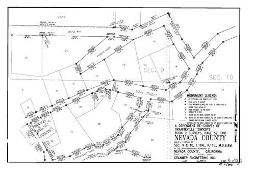
Record of Survey Book 11, pg. 360 (1996)
NC Recorders Map Survey 11-360-6:
Graniteville Twonsite resurvey. Survey Book 2, pg. 52. T18N R11E Sec. 9. T18N R11E Sec. 10. Sluice Way. Main St. (Graniteville). Doe Lane. Eureka-East Dr.. Poorman Creek. East Rd. (Graniteville). Arch's Rd.
NC Recorders Map Survey 11-360-6:
Graniteville Twonsite resurvey. Survey Book 2, pg. 52. T18N R11E Sec. 9. T18N R11E Sec. 10. Sluice Way. Main St. (Graniteville). Doe Lane. Eureka-East Dr.. Poorman Creek. East Rd. (Graniteville). Arch's Rd.

Record of Survey Book 11, pg. 360 (1996)
NC Recorders Map Survey 11-360-7:
Graniteville Twonsite resurvey. Survey Book 2, pg. 52. T18N R11E Sec. 9. T18N R11E Sec. 10. Sluice Way. Main St. (Graniteville). Doe Lane. Eureka-East Dr.. Poorman Creek. East Rd. (Graniteville). Arch's Rd.
NC Recorders Map Survey 11-360-7:
Graniteville Twonsite resurvey. Survey Book 2, pg. 52. T18N R11E Sec. 9. T18N R11E Sec. 10. Sluice Way. Main St. (Graniteville). Doe Lane. Eureka-East Dr.. Poorman Creek. East Rd. (Graniteville). Arch's Rd.
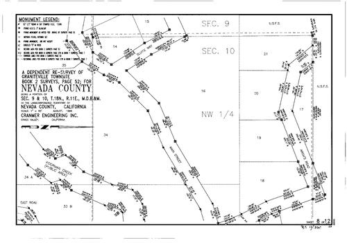
Record of Survey Book 11, pg. 360 (1996)
NC Recorders Map Survey 11-360-8:
Graniteville Twonsite resurvey. Survey Book 2, pg. 52. T18N R11E Sec. 9. T18N R11E Sec. 10. Sluice Way. Main St. (Graniteville). Doe Lane. Eureka-East Dr.. Poorman Creek. East Rd. (Graniteville). Arch's Rd.
NC Recorders Map Survey 11-360-8:
Graniteville Twonsite resurvey. Survey Book 2, pg. 52. T18N R11E Sec. 9. T18N R11E Sec. 10. Sluice Way. Main St. (Graniteville). Doe Lane. Eureka-East Dr.. Poorman Creek. East Rd. (Graniteville). Arch's Rd.

Record of Survey Book 11, pg. 360 (1996)
NC Recorders Map Survey 11-360-9:
Graniteville Twonsite resurvey. Survey Book 2, pg. 52. T18N R11E Sec. 9. T18N R11E Sec. 10. Sluice Way. Main St. (Graniteville). Doe Lane. Eureka-East Dr.. Poorman Creek. East Rd. (Graniteville). Arch's Rd.
NC Recorders Map Survey 11-360-9:
Graniteville Twonsite resurvey. Survey Book 2, pg. 52. T18N R11E Sec. 9. T18N R11E Sec. 10. Sluice Way. Main St. (Graniteville). Doe Lane. Eureka-East Dr.. Poorman Creek. East Rd. (Graniteville). Arch's Rd.

Record of Survey Book 11, pg. 360 (1996)
NC Recorders Map Survey 11-360-10:
Graniteville Twonsite resurvey. Survey Book 2, pg. 52. T18N R11E Sec. 9. T18N R11E Sec. 10. Sluice Way. Main St. (Graniteville). Doe Lane. Eureka-East Dr.. Poorman Creek. East Rd. (Graniteville). Arch's Rd.
NC Recorders Map Survey 11-360-10:
Graniteville Twonsite resurvey. Survey Book 2, pg. 52. T18N R11E Sec. 9. T18N R11E Sec. 10. Sluice Way. Main St. (Graniteville). Doe Lane. Eureka-East Dr.. Poorman Creek. East Rd. (Graniteville). Arch's Rd.
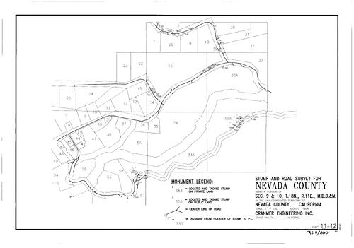
Record of Survey Book 11, pg. 360 (1996)
NC Recorders Map Survey 11-360-11:
Graniteville Twonsite resurvey. Survey Book 2, pg. 52. T18N R11E Sec. 9. T18N R11E Sec. 10. Sluice Way. Main St. (Graniteville). Doe Lane. Eureka-East Dr.. Poorman Creek. East Rd. (Graniteville). Arch's Rd.
NC Recorders Map Survey 11-360-11:
Graniteville Twonsite resurvey. Survey Book 2, pg. 52. T18N R11E Sec. 9. T18N R11E Sec. 10. Sluice Way. Main St. (Graniteville). Doe Lane. Eureka-East Dr.. Poorman Creek. East Rd. (Graniteville). Arch's Rd.
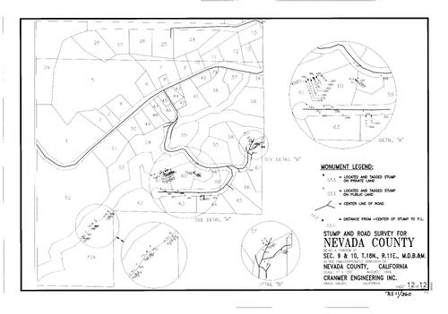
Record of Survey Book 11, pg. 360 (1996)
NC Recorders Map Survey 11-360-12:
Graniteville Twonsite resurvey. Survey Book 2, pg. 52. T18N R11E Sec. 9. T18N R11E Sec. 10. Sluice Way. Main St. (Graniteville). Doe Lane. Eureka-East Dr.. Poorman Creek. East Rd. (Graniteville). Arch's Rd.
NC Recorders Map Survey 11-360-12:
Graniteville Twonsite resurvey. Survey Book 2, pg. 52. T18N R11E Sec. 9. T18N R11E Sec. 10. Sluice Way. Main St. (Graniteville). Doe Lane. Eureka-East Dr.. Poorman Creek. East Rd. (Graniteville). Arch's Rd.

Record of Survey Book 11, pg. 361 (1997)
NC Recorders Map Survey 11-361:
Cooper, Burton. Parcel Map Book 17, pg. 56 parcel 1, 2. T16N R9E Sec. 7. Golden Center Freeway. Uren St.. State Highway 49. Berger-Smart Addition (Nevada City)
NC Recorders Map Survey 11-361:
Cooper, Burton. Parcel Map Book 17, pg. 56 parcel 1, 2. T16N R9E Sec. 7. Golden Center Freeway. Uren St.. State Highway 49. Berger-Smart Addition (Nevada City)

Record of Survey Book 11, pg. 362 (1997)
NC Recorders Map Survey 11-362:
T17N R16E Sec. 15. Truckee River. Truckee Donner Public Utility District. Von Fluee Decree of Distribution
NC Recorders Map Survey 11-362:
T17N R16E Sec. 15. Truckee River. Truckee Donner Public Utility District. Von Fluee Decree of Distribution

Record of Survey Book 11, pg. 363 (1997)
NC Recorders Map Survey 11-363:
Lande & Goddard. Goddard, Joan. T15N R9E Sec. 9. Parcel Map Book 12, pg. 91 parcel 1-3
NC Recorders Map Survey 11-363:
Lande & Goddard. Goddard, Joan. T15N R9E Sec. 9. Parcel Map Book 12, pg. 91 parcel 1-3

Record of Survey Book 11, pg. 364 (1997)
NC Recorders Map Survey 11-364-1:
NC Recorders Map Survey 11-364-1:
United States Forest Service. Spanish Cadastral Survey. T18N R11E Sec. 19. T18N R11E Sec. 30. T18N R11E Sec. 31. Radio King. Mineral Survey 5946. Barite. Ruth, The. Singleton. Mineral Survey 3803. Eclipse Gold... See More

Record of Survey Book 11, pg. 364 (1997)
NC Recorders Map Survey 11-364-2:
NC Recorders Map Survey 11-364-2:
United States Forest Service. Spanish Cadastral Survey. T18N R11E Sec. 19. T18N R11E Sec. 30. T18N R11E Sec. 31. Radio King. Mineral Survey 5946. Barite. Ruth, The. Singleton. Mineral Survey 3803. Eclipse Gold... See More
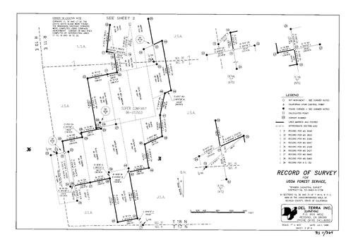
Record of Survey Book 11, pg. 364 (1997)
NC Recorders Map Survey 11-364-3:
NC Recorders Map Survey 11-364-3:
United States Forest Service. Spanish Cadastral Survey. T18N R11E Sec. 19. T18N R11E Sec. 30. T18N R11E Sec. 31. Radio King. Mineral Survey 5946. Barite. Ruth, The. Singleton. Mineral Survey 3803. Eclipse Gold... See More

Record of Survey Book 11, pg. 364 (1997)
NC Recorders Map Survey 11-364-4:
NC Recorders Map Survey 11-364-4:
United States Forest Service. Spanish Cadastral Survey. T18N R11E Sec. 19. T18N R11E Sec. 30. T18N R11E Sec. 31. Radio King. Mineral Survey 5946. Barite. Ruth, The. Singleton. Mineral Survey 3803. Eclipse Gold... See More
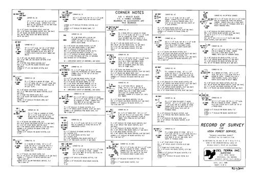
Record of Survey Book 11, pg. 364 (1997)
NC Recorders Map Survey 11-364-5:
NC Recorders Map Survey 11-364-5:
United States Forest Service. Spanish Cadastral Survey. T18N R11E Sec. 19. T18N R11E Sec. 30. T18N R11E Sec. 31. Radio King. Mineral Survey 5946. Barite. Ruth, The. Singleton. Mineral Survey 3803. Eclipse Gold... See More

Record of Survey Book 11, pg. 364 (1997)
NC Recorders Map Survey 11-364-6:
NC Recorders Map Survey 11-364-6:
United States Forest Service. Spanish Cadastral Survey. T18N R11E Sec. 19. T18N R11E Sec. 30. T18N R11E Sec. 31. Radio King. Mineral Survey 5946. Barite. Ruth, The. Singleton. Mineral Survey 3803. Eclipse Gold... See More

Record of Survey Book 11, pg. 365 (1997)
NC Recorders Map Survey 11-365:
Sauer, Donald. Stuart, Katherine. T17N R8E Sec. 18. State Highway 49
NC Recorders Map Survey 11-365:
Sauer, Donald. Stuart, Katherine. T17N R8E Sec. 18. State Highway 49

Record of Survey Book 11, pg. 366 (1997)
NC Recorders Map Survey 11-366-1:
T18N R17N Sec. 35. I-80. U. S. 40
NC Recorders Map Survey 11-366-1:
T18N R17N Sec. 35. I-80. U. S. 40
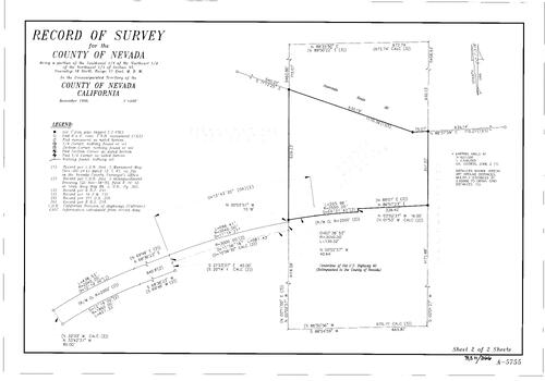
Record of Survey Book 11, pg. 366 (1997)
NC Recorders Map Survey 11-366-2:
T18N R17N Sec. 35. I-80. U. S. 40
NC Recorders Map Survey 11-366-2:
T18N R17N Sec. 35. I-80. U. S. 40

Record of Survey Book 11, pg. 367 (1997)
NC Recorders Map Survey 11-367:
Chamberlain, Sharon. Barale, Ronald &Kathy. Champion Estates lots 2, 3. Subdivision Book 7, pg. 122 lot 2, 3. T16N R8E Sec. 10. Morning Star Lane. Champion Rd.
NC Recorders Map Survey 11-367:
Chamberlain, Sharon. Barale, Ronald &Kathy. Champion Estates lots 2, 3. Subdivision Book 7, pg. 122 lot 2, 3. T16N R8E Sec. 10. Morning Star Lane. Champion Rd.

Record of Survey Book 11, pg. 368 (1997)
NC Recorders Map Survey 11-368:
Heritage Grove Ltd.. T15N R9E Sec. 7. Woopecker Ravine. Parcel Map Book 9, pg. 24 parcel D
NC Recorders Map Survey 11-368:
Heritage Grove Ltd.. T15N R9E Sec. 7. Woopecker Ravine. Parcel Map Book 9, pg. 24 parcel D

Record of Survey Book 11, pg. 369 (1997)
NC Recorders Map Survey 11-369:
Ross, Barry L.. T17N R8E Sec. 16. Shady Creek. Murphy Rd.. Center for Educational Guidance Inc.. Parcel Map Book 1, pg. 53 parcel 7. Milhous Acres. Milhous Family Trust
NC Recorders Map Survey 11-369:
Ross, Barry L.. T17N R8E Sec. 16. Shady Creek. Murphy Rd.. Center for Educational Guidance Inc.. Parcel Map Book 1, pg. 53 parcel 7. Milhous Acres. Milhous Family Trust

Record of Survey Book 11, pg. 370 (1997)
NC Recorders Map Survey 11-370:
Patterson Valley Ranches lot 3, 4. T15N R8E Sec. 6. Mallory, G. D.. Mallory Trust. Patterson Valley Rd.. Subdivision Book 8, pg. 10 lot 3, 4. Doan Investments
NC Recorders Map Survey 11-370:
Patterson Valley Ranches lot 3, 4. T15N R8E Sec. 6. Mallory, G. D.. Mallory Trust. Patterson Valley Rd.. Subdivision Book 8, pg. 10 lot 3, 4. Doan Investments

Record of Survey Book 11, pg. 371 (1997)
NC Recorders Map Survey 11-371:
Northern CA Conference Assoc. of Seventh-day Adven. T16N R8E Sec. 21. Parcel Map Book 12, pg. 197 parcel 1, 4. Cedar Way. Parcel Map Book 10, pg. 250 parcel C. Subdivision Book 7, pg. 64
NC Recorders Map Survey 11-371:
Northern CA Conference Assoc. of Seventh-day Adven. T16N R8E Sec. 21. Parcel Map Book 12, pg. 197 parcel 1, 4. Cedar Way. Parcel Map Book 10, pg. 250 parcel C. Subdivision Book 7, pg. 64

Record of Survey Book 11, pg. 372 (1997)
NC Recorders Map Survey 11-372:
Vlaminck Family Living Trust. T15N R8E Sec. 1. T15N R8E Sec. 2. Four Seasons Trail. Parcel Map Book 12, pg. 212 parcel 1-4
NC Recorders Map Survey 11-372:
Vlaminck Family Living Trust. T15N R8E Sec. 1. T15N R8E Sec. 2. Four Seasons Trail. Parcel Map Book 12, pg. 212 parcel 1-4

Record of Survey Book 11, pg. 373 (1997)
NC Recorders Map Survey 11-373:
Beacock, Laurie. T16N R9E Sec. 7. Grove St.. Deer Creek
NC Recorders Map Survey 11-373:
Beacock, Laurie. T16N R9E Sec. 7. Grove St.. Deer Creek
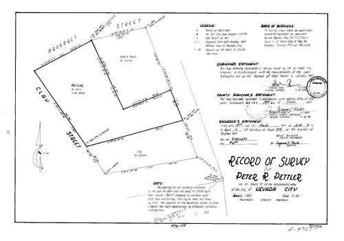
Record of Survey Book 11, pg. 374 (1997)
NC Recorders Map Survey 11-374:
Pettler, Peter R.. Nevada City Block 57 lot 18. Prospect St.. Clay St.
NC Recorders Map Survey 11-374:
Pettler, Peter R.. Nevada City Block 57 lot 18. Prospect St.. Clay St.

Record of Survey Book 11, pg. 375 (1997)
NC Recorders Map Survey 11-375-1:
NC Recorders Map Survey 11-375-1:
Washington Cadastral Survey. T17N R10E Sec. 1. T18N R10E Sec. 36. T17N R11E Sec. 6. United States Forest Service. Treasure Box No. 3. Treasure Box No. 1. Treasure Box No. 2. Captain Walker. West Investments... See More
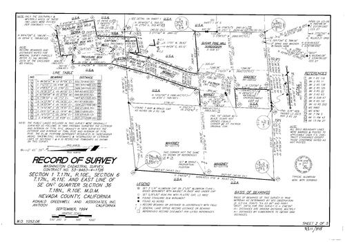
Record of Survey Book 11, pg. 375 (1997)
NC Recorders Map Survey 11-375-2:
NC Recorders Map Survey 11-375-2:
Washington Cadastral Survey. T17N R10E Sec. 1. T18N R10E Sec. 36. T17N R11E Sec. 6. United States Forest Service. Treasure Box No. 3. Treasure Box No. 1. Treasure Box No. 2. Captain Walker. West Investments... See More

Record of Survey Book 11, pg. 375 (1997)
NC Recorders Map Survey 11-375-3:
NC Recorders Map Survey 11-375-3:
Washington Cadastral Survey. T17N R10E Sec. 1. T18N R10E Sec. 36. T17N R11E Sec. 6. United States Forest Service. Treasure Box No. 3. Treasure Box No. 1. Treasure Box No. 2. Captain Walker. West Investments... See More

Record of Survey Book 11, pg. 375 (1997)
NC Recorders Map Survey 11-375-4:
NC Recorders Map Survey 11-375-4:
Washington Cadastral Survey. T17N R10E Sec. 1. T18N R10E Sec. 36. T17N R11E Sec. 6. United States Forest Service. Treasure Box No. 3. Treasure Box No. 1. Treasure Box No. 2. Captain Walker. West Investments... See More

Record of Survey Book 11, pg. 375 (1997)
NC Recorders Map Survey 11-375-5:
NC Recorders Map Survey 11-375-5:
Washington Cadastral Survey. T17N R10E Sec. 1. T18N R10E Sec. 36. T17N R11E Sec. 6. United States Forest Service. Treasure Box No. 3. Treasure Box No. 1. Treasure Box No. 2. Captain Walker. West Investments... See More

Record of Survey Book 11, pg. 376 (1997)
NC Recorders Map Survey 11-376:
Sauer, Leonard. T17N R8E Sec. 7. T17N R8E Sec. 18. Pleasant Valley Rd.. State Highway 49. Pacheco Rd.
NC Recorders Map Survey 11-376:
Sauer, Leonard. T17N R8E Sec. 7. T17N R8E Sec. 18. Pleasant Valley Rd.. State Highway 49. Pacheco Rd.
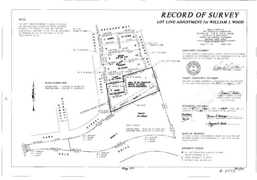
Record of Survey Book 11, pg. 377 (1997)
NC Recorders Map Survey 11-377:
Wood, William J.. Kendallco Subdivision Block C lot 1, 2. T16N R8E Sec. 26. Kendall St.. Orchard Way. Park St. (Grass Valley)
NC Recorders Map Survey 11-377:
Wood, William J.. Kendallco Subdivision Block C lot 1, 2. T16N R8E Sec. 26. Kendall St.. Orchard Way. Park St. (Grass Valley)
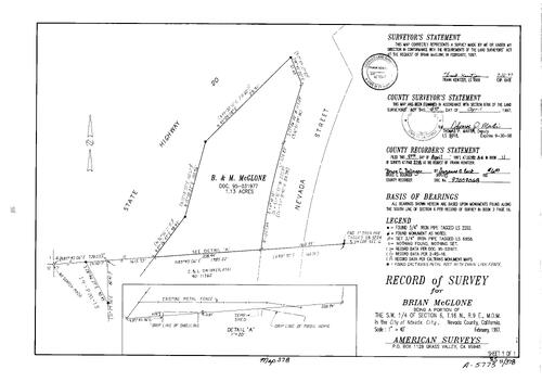
Record of Survey Book 11, pg. 378 (1997)
NC Recorders Map Survey 11-378:
McGlone, Brian. T16N R9E Sec. 6. State Highway 20. Nevada St.
NC Recorders Map Survey 11-378:
McGlone, Brian. T16N R9E Sec. 6. State Highway 20. Nevada St.

Record of Survey Book 11, pg. 379 (1997)
NC Recorders Map Survey 11-379:
Toth, Paul & Joan. T15N R8E Sec. 1
NC Recorders Map Survey 11-379:
Toth, Paul & Joan. T15N R8E Sec. 1

Record of Survey Book 11, pg. 380 (1997)
NC Recorders Map Survey 11-380-1:
NC Recorders Map Survey 11-380-1:
Tektronix Inc.. T16N R7E Sec. 12. T16N R7E Sec. 13. T16N R8E Sec. 7. T16N R8E Sec. 18. Bitney Springs Rd.. Newtown Ditch. Parcel Map Book 4, pg. 123 parcel A, B. Penn Valley Fire Department. Lone Lobo Trail... See More

Record of Survey Book 11, pg. 380 (1997)
NC Recorders Map Survey 11-380-2:
NC Recorders Map Survey 11-380-2:
Tektronix Inc.. T16N R7E Sec. 12. T16N R7E Sec. 13. T16N R8E Sec. 7. T16N R8E Sec. 18. Bitney Springs Rd.. Newtown Ditch. Parcel Map Book 4, pg. 123 parcel A, B. Penn Valley Fire Department. Lone Lobo Trail... See More

Record of Survey Book 11, pg. 380 (1997)
NC Recorders Map Survey 11-380-3:
NC Recorders Map Survey 11-380-3:
Tektronix Inc.. T16N R7E Sec. 12. T16N R7E Sec. 13. T16N R8E Sec. 7. T16N R8E Sec. 18. Bitney Springs Rd.. Newtown Ditch. Parcel Map Book 4, pg. 123 parcel A, B. Penn Valley Fire Department. Lone Lobo Trail... See More

Record of Survey Book 11, pg. 380 (1997)
NC Recorders Map Survey 11-380-4:
NC Recorders Map Survey 11-380-4:
Tektronix Inc.. T16N R7E Sec. 12. T16N R7E Sec. 13. T16N R8E Sec. 7. T16N R8E Sec. 18. Bitney Springs Rd.. Newtown Ditch. Parcel Map Book 4, pg. 123 parcel A, B. Penn Valley Fire Department. Lone Lobo Trail... See More

Record of Survey Book 11, pg. 381 (1997)
NC Recorders Map Survey 11-381-1:
French Corral Block 4 lot 1-4, 8-12. T17N R7E Sec. 26. T17N R7E Sec. 27. Pleasant Valley Rd.. Rice's Crossing Rd.. Dudley Ranch Rd.. Zaller Corp.. French Corral Creek. French Corral Ravine. Slide Mine Rd.
NC Recorders Map Survey 11-381-1:
French Corral Block 4 lot 1-4, 8-12. T17N R7E Sec. 26. T17N R7E Sec. 27. Pleasant Valley Rd.. Rice's Crossing Rd.. Dudley Ranch Rd.. Zaller Corp.. French Corral Creek. French Corral Ravine. Slide Mine Rd.

Record of Survey Book 11, pg. 381 (1997)
NC Recorders Map Survey 11-381-2:
French Corral Block 4 lot 1-4, 8-12. T17N R7E Sec. 26. T17N R7E Sec. 27. Pleasant Valley Rd.. Rice's Crossing Rd.. Dudley Ranch Rd.. Zaller Corp.. French Corral Creek. French Corral Ravine. Slide Mine Rd.
NC Recorders Map Survey 11-381-2:
French Corral Block 4 lot 1-4, 8-12. T17N R7E Sec. 26. T17N R7E Sec. 27. Pleasant Valley Rd.. Rice's Crossing Rd.. Dudley Ranch Rd.. Zaller Corp.. French Corral Creek. French Corral Ravine. Slide Mine Rd.

Record of Survey Book 11, pg. 382 (1997)
NC Recorders Map Survey 11-382:
NC Recorders Map Survey 11-382:
Bush St.. Flume St.. North San Juan Volunteer Fire Department. Main St. (North San Juan). North San... See More
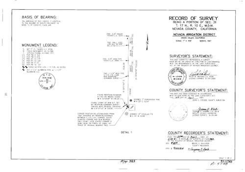
Record of Survey Book 11, pg. 383 (1997)
NC Recorders Map Survey 11-383-1:
Nevada Irrigation District. T17N R10E Sec. 31. Snow Mountain Canal (abandoned). Parcel Map Book 3, pg. 218 parcel 3, 4. Sierra Pacific Industries
NC Recorders Map Survey 11-383-1:
Nevada Irrigation District. T17N R10E Sec. 31. Snow Mountain Canal (abandoned). Parcel Map Book 3, pg. 218 parcel 3, 4. Sierra Pacific Industries
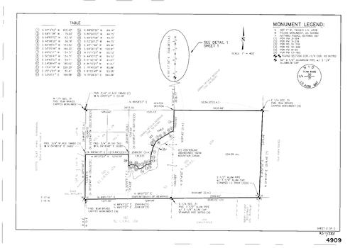
Record of Survey Book 11, pg. 383 (1997)
NC Recorders Map Survey 11-383-2:
Nevada Irrigation District. T17N R10E Sec. 31. Snow Mountain Canal (abandoned). Parcel Map Book 3, pg. 218 parcel 3, 4. Sierra Pacific Industries
NC Recorders Map Survey 11-383-2:
Nevada Irrigation District. T17N R10E Sec. 31. Snow Mountain Canal (abandoned). Parcel Map Book 3, pg. 218 parcel 3, 4. Sierra Pacific Industries
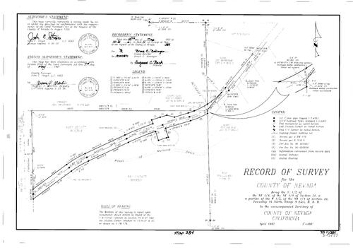
Record of Survey Book 11, pg. 384 (1997)
NC Recorders Map Survey 11-384:
Banner Lava Cap Rd.. Wings of Morning Dr.. Ruff Estate. T16N R9E Sec. 21. T16N R9E Sec. 22
NC Recorders Map Survey 11-384:
Banner Lava Cap Rd.. Wings of Morning Dr.. Ruff Estate. T16N R9E Sec. 21. T16N R9E Sec. 22
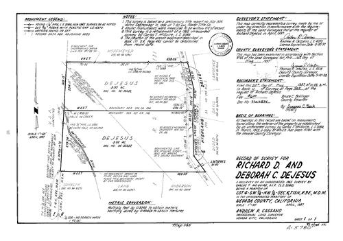
Record of Survey Book 11, pg. 385 (1997)
NC Recorders Map Survey 11-385:
Dejesus, Richard D. & Deborah C.. T15N R9E Sec. 6. Rattlesnake Ditch. Highland Dr.
NC Recorders Map Survey 11-385:
Dejesus, Richard D. & Deborah C.. T15N R9E Sec. 6. Rattlesnake Ditch. Highland Dr.

Record of Survey Book 11, pg. 386 (1997)
NC Recorders Map Survey 11-386:
T14N R8E Sec. 17. Edwards, Tom. Wolf Rd.. Parcel Map Book 8, pg. 41 parcel A. Parcel map Book 11, pg. 102 parcel 1, 3. Cole-Viet Ditch
NC Recorders Map Survey 11-386:
T14N R8E Sec. 17. Edwards, Tom. Wolf Rd.. Parcel Map Book 8, pg. 41 parcel A. Parcel map Book 11, pg. 102 parcel 1, 3. Cole-Viet Ditch
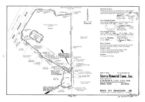
Record of Survey Book 11, pg. 387 (1997)
NC Recorders Map Survey 11-387:
NC Recorders Map Survey 11-387:
Sierra Memorial Lawn Inc.. T16N R8E Sec. 13. State Highway 49/20. Golden Center Freeway. Hollow Way. Bost Ave.. New Mohawk Rd.. Hooper & weaver Mortuary. Church of Jesus Christ (Nevada City). Ramey et al. Baker... See More
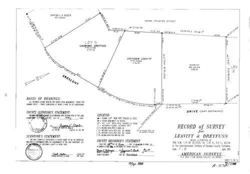
Record of Survey Book 11, pg. 388 (1997)
NC Recorders Map Survey 11-388:
Dreyfuss, Laurence. Leavitt, Gretchen. Crescent Dr.. T16N R9E Sec. 19. Subdivison Book 3, pg. 30 lot 3, 4
NC Recorders Map Survey 11-388:
Dreyfuss, Laurence. Leavitt, Gretchen. Crescent Dr.. T16N R9E Sec. 19. Subdivison Book 3, pg. 30 lot 3, 4

Record of Survey Book 11, pg. 389 (1997)
NC Recorders Map Survey 11-389:
Cartwright, Richard. T16N R9E Sec. 14. Oak Ridge Rd.. Lakeridge Park Unit 2-A lot 38-42. Parcel Map Book 12, pg. 117 parcel 1
NC Recorders Map Survey 11-389:
Cartwright, Richard. T16N R9E Sec. 14. Oak Ridge Rd.. Lakeridge Park Unit 2-A lot 38-42. Parcel Map Book 12, pg. 117 parcel 1
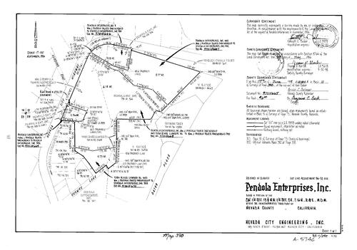
Record of Survey Book 11, pg. 390 (1997)
NC Recorders Map Survey 11-390:
Pendola Enterprises Inc.. T16N R8E Sec. 13. T16N R8E Sec. 24. Hubbard Rd.. Nevada City Hwy.. Wasley Family Trust. Yuba River Lumber Co.. Skewes Lane. Gates Pl.
NC Recorders Map Survey 11-390:
Pendola Enterprises Inc.. T16N R8E Sec. 13. T16N R8E Sec. 24. Hubbard Rd.. Nevada City Hwy.. Wasley Family Trust. Yuba River Lumber Co.. Skewes Lane. Gates Pl.
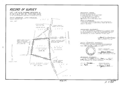
Record of Survey Book 11, pg. 391 (1997)
NC Recorders Map Survey 11-391:
Cornwall, Vivian. Alta Sierra Estates-5 lot 1. Norlene Way. Alta Sierra Golf & Country Club. Sharon Way
NC Recorders Map Survey 11-391:
Cornwall, Vivian. Alta Sierra Estates-5 lot 1. Norlene Way. Alta Sierra Golf & Country Club. Sharon Way
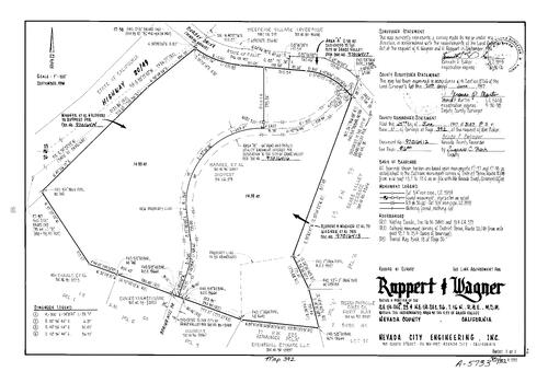
Record of Survey Book 11, pg. 392 (1997)
NC Recorders Map Survey 11-392:
NC Recorders Map Survey 11-392:
Ruppert, H.. Wagner, K.. T16N R8E Sec. 23. T16N R8E Sec. 26. Golden Center Freeway. Dorsey Dr.. Westside Village Investors. Parcel Map Book 13, pg. 39, parcel A-D. Grass Valley Terrace. Sierra Foothills... See More
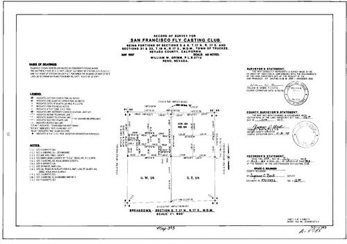
Record of Survey Book 11, pg. 393 (1997)
NC Recorders Map Survey 11-393-1:
NC Recorders Map Survey 11-393-1:
San Francisco Fly Casting Club. I-80. Union Mills Rd.. Hualapai Indian Tribe. Central Pacific Railroad. r/w. San Franisco Fly Casting Club Lodge. U. S. 40 (old). Truckee Rd.. Truckee Sanitary District. Glenshire... See More

Record of Survey Book 11, pg. 393 (1997)
NC Recorders Map Survey 11-393-2:
NC Recorders Map Survey 11-393-2:
San Francisco Fly Casting Club. I-80. Union Mills Rd.. Hualapai Indian Tribe. Central Pacific Railroad. r/w. San Franisco Fly Casting Club Lodge. U. S. 40 (old). Truckee Rd.. Truckee Sanitary District. Glenshire... See More

Record of Survey Book 11, pg. 393 (1997)
NC Recorders Map Survey 11-393-3:
NC Recorders Map Survey 11-393-3:
San Francisco Fly Casting Club. I-80. Union Mills Rd.. Hualapai Indian Tribe. Central Pacific Railroad. r/w. San Franisco Fly Casting Club Lodge. U. S. 40 (old). Truckee Rd.. Truckee Sanitary District. Glenshire... See More

Record of Survey Book 11, pg. 393 (1997)
NC Recorders Map Survey 11-393-4:
NC Recorders Map Survey 11-393-4:
San Francisco Fly Casting Club. I-80. Union Mills Rd.. Hualapai Indian Tribe. Central Pacific Railroad. r/w. San Franisco Fly Casting Club Lodge. U. S. 40 (old). Truckee Rd.. Truckee Sanitary District. Glenshire... See More

Record of Survey Book 11, pg. 394 (1997)
NC Recorders Map Survey 11-394:
Seghezzi, Michael A.. T17N R9E Sec. 33
NC Recorders Map Survey 11-394:
Seghezzi, Michael A.. T17N R9E Sec. 33

Record of Survey Book 11, pg. 395 (1997)
NC Recorders Map Survey 11-395-1:
NC Recorders Map Survey 11-395-1:
State Highway 49. T15N R8E Sec. 34. Parcel Map Book 4, pg. 134 parcel A-D. Parcel Map Book 9, pg. 92 parcel C, D. Parcel Map Book 9, pg. 127 parcel D. Parcel Map Book 11, pg. 41 parcel A,C,D. Alta Sierra Estates... See More

Record of Survey Book 11, pg. 395 (1997)
NC Recorders Map Survey 11-395-2:
NC Recorders Map Survey 11-395-2:
State Highway 49. T15N R8E Sec. 34. Parcel Map Book 4, pg. 134 parcel A-D. Parcel Map Book 9, pg. 92 parcel C, D. Parcel Map Book 9, pg. 127 parcel D. Parcel Map Book 11, pg. 41 parcel A,C,D. Alta Sierra Estates... See More
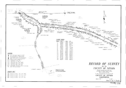
Record of Survey Book 11, pg. 395 (1997)
NC Recorders Map Survey 11-395-3:
NC Recorders Map Survey 11-395-3:
State Highway 49. T15N R8E Sec. 34. Parcel Map Book 4, pg. 134 parcel A-D. Parcel Map Book 9, pg. 92 parcel C, D. Parcel Map Book 9, pg. 127 parcel D. Parcel Map Book 11, pg. 41 parcel A,C,D. Alta Sierra Estates... See More

Record of Survey Book 11, pg. 395 (1997)
NC Recorders Map Survey 11-395-4:
NC Recorders Map Survey 11-395-4:
State Highway 49. T15N R8E Sec. 34. Parcel Map Book 4, pg. 134 parcel A-D. Parcel Map Book 9, pg. 92 parcel C, D. Parcel Map Book 9, pg. 127 parcel D. Parcel Map Book 11, pg. 41 parcel A,C,D. Alta Sierra Estates... See More

Record of Survey Book 11, pg. 396 (1997)
NC Recorders Map Survey 11-396-1:
NC Recorders Map Survey 11-396-1:
Subdivision Book 8, pg. 15 lot 31, 32, 33, 46. T17N R15E Sec. 14. Wolfe Estates Phase 1, 2, 3,... See More

Record of Survey Book 11, pg. 396 (1997)
NC Recorders Map Survey 11-396-2:
NC Recorders Map Survey 11-396-2:
Subdivision Book 8, pg. 15 lot 31, 32, 33, 46. T17N R15E Sec. 14. Wolfe Estates Phase 1, 2, 3,... See More
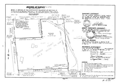
Record of Survey Book 11, pg. 397 (1997)
NC Recorders Map Survey 11-397:
Dushek, Linda. T14N R8E Sec. 15. Davidson Tract No. 1 lot 1. Maben Way. Carriage Dr.. Sharmiden Way
NC Recorders Map Survey 11-397:
Dushek, Linda. T14N R8E Sec. 15. Davidson Tract No. 1 lot 1. Maben Way. Carriage Dr.. Sharmiden Way
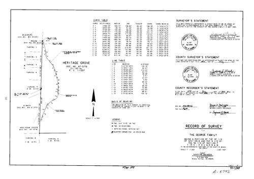
Record of Survey Book 11, pg. 398 (1997)
NC Recorders Map Survey 11-398:
NC Recorders Map Survey 11-398:
George Family. T15N R9E Sec. 6. T15N R9E Sec. 7. Parcel Map Book 12, pg. 19 parcel 1-4. Heritage Grove. Woodpecker Ravine Crossing. Parcel Map Book 3, pg. 42 parcel F. Parcel Map Book 9, pg. 24 parcel D. Parcel... See More

Record of Survey Book 11, pg. 399 (1997)
NC Recorders Map Survey 11-399:
Parcel Map Book 3, pg. 98 lot A. T16N R9E Sec. 29. Tranquility Lane. Morin, George. Parcel Map Book 14, pg. 40 parcel 4
NC Recorders Map Survey 11-399:
Parcel Map Book 3, pg. 98 lot A. T16N R9E Sec. 29. Tranquility Lane. Morin, George. Parcel Map Book 14, pg. 40 parcel 4


