Enter a name, company, place or keywords to search across this item. Then click "Search" (or hit Enter).
Collection: Maps > Nevada County Recorders Maps
Nevada County Recorders Survey Maps Book 17 (288 images)
Zoom Out
Zoom In (Please allow time for high-res images to load)
Zoom: 100%

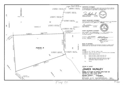
Survey Map Book 17, pg. 1
NC Recorders Map Survey 17-001-1
NC Recorders Map Survey 17-001-1
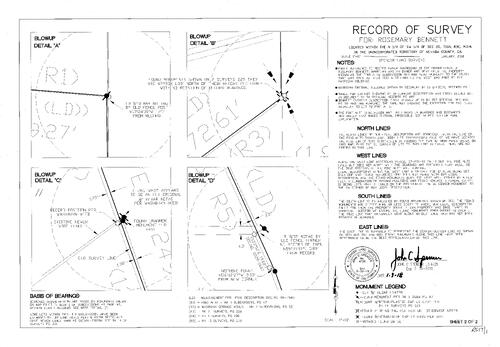
Survey Map Book 17, pg. 1
NC Recorders Map Survey 17-001-2
NC Recorders Map Survey 17-001-2

Survey Map Book 17, pg. 2
NC Recorders Map Survey 17-002-1
NC Recorders Map Survey 17-002-1

Survey Map Book 17, pg. 2
NC Recorders Map Survey 17-002-2
NC Recorders Map Survey 17-002-2

Survey Map Book 17, pg. 2
NC Recorders Map Survey 17-002-3
NC Recorders Map Survey 17-002-3

Survey Map Book 17, pg. 2
NC Recorders Map Survey 17-002-4
NC Recorders Map Survey 17-002-4

Survey Map Book 17, pg. 5
NC Recorders Map Survey 17-005
NC Recorders Map Survey 17-005
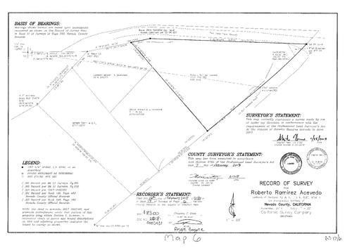
Survey Map Book 17, pg. 6
NC Recorders Map Survey 17-006
NC Recorders Map Survey 17-006

Survey Map Book 17, pg. 7
NC Recorders Map Survey 17-007
NC Recorders Map Survey 17-007

Survey Map Book 17, pg. 8
NC Recorders Map Survey 17-008
NC Recorders Map Survey 17-008
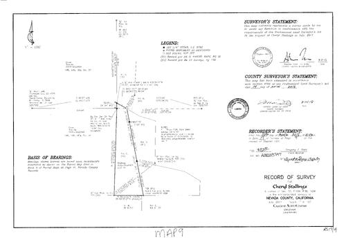
Survey Map Book 17, pg. 9
NC Recorders Map Survey 17-009
NC Recorders Map Survey 17-009

Survey Map Book 17, pg. 10
NC Recorders Map Survey 17-010
NC Recorders Map Survey 17-010
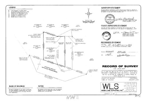
Survey Map Book 17, pg. 11
NC Recorders Map Survey 17-011
NC Recorders Map Survey 17-011
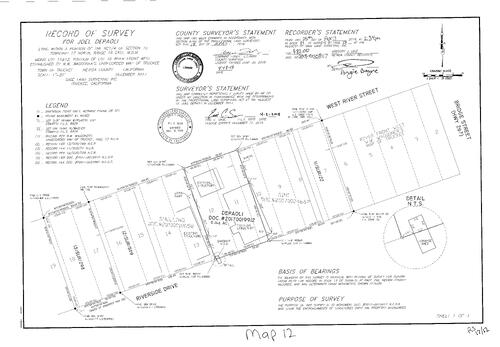
Survey Map Book 17, pg. 12
NC Recorders Map Survey 17-012
NC Recorders Map Survey 17-012

Survey Map Book 17, pg. 13
NC Recorders Map Survey 17-013
NC Recorders Map Survey 17-013
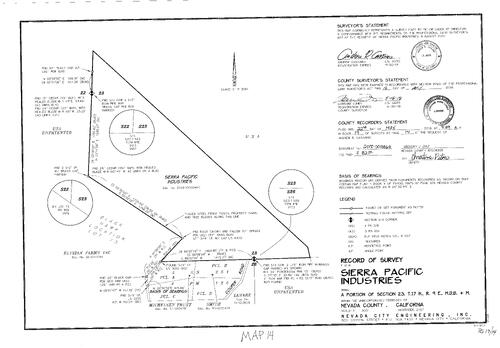
Survey Map Book 17, pg. 14
NC Recorders Map Survey 17-014
NC Recorders Map Survey 17-014
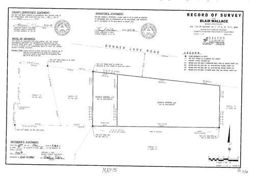
Survey Map Book 17, pg. 15
NC Recorders Map Survey 17-015
NC Recorders Map Survey 17-015

Survey Map Book 17, pg. 16
NC Recorders Map Survey 17-016
NC Recorders Map Survey 17-016
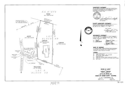
Survey Map Book 17, pg. 17
NC Recorders Map Survey 17-017
NC Recorders Map Survey 17-017

Survey Map Book 17, pg. 18
NC Recorders Map Survey 17-018
NC Recorders Map Survey 17-018

Survey Map Book 17, pg. 19
NC Recorders Map Survey 17-019
NC Recorders Map Survey 17-019
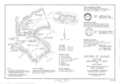
Record of Survey Book 17, pg. 20 (2018)
NC Recorders Map Survey 17-020:
McGirr, Dave. Connestoga Drive. Brewer Road
NC Recorders Map Survey 17-020:
McGirr, Dave. Connestoga Drive. Brewer Road

Record of Survey Book 17, pg. 21 (2018)
NC Recorders Map Survey 17-021:
Palenko, John. Lorraine Place. Wild Cherry Lane
NC Recorders Map Survey 17-021:
Palenko, John. Lorraine Place. Wild Cherry Lane
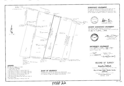
Record of Survey Book 17, pg. 22 (2018)
NC Recorders Map Survey 17-022:
Niblock, Angelica. Maryland Drive, East
NC Recorders Map Survey 17-022:
Niblock, Angelica. Maryland Drive, East

Record of Survey Book 17, pg. 23 (2018)
NC Recorders Map Survey 17-023:
White, Ken. Donner Lake. South Shore Drive
NC Recorders Map Survey 17-023:
White, Ken. Donner Lake. South Shore Drive
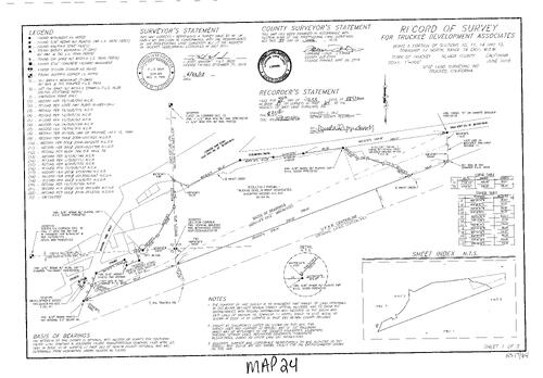
Record of Survey Book 17, pg. 24 (2018)
NC Recorders Map Survey 17-024-1:
NC Recorders Map Survey 17-024-1:
Truckee Development Assoc.. Donner Pass Road (Old Hwy. 267). Glenshire Drive (old Hwy. 40). Trout Creek. U.P.R.R. Centerline. Church Street (Truckee). School Street (Truckee). E Street. Tahoe Truckee Lumber Co... See More
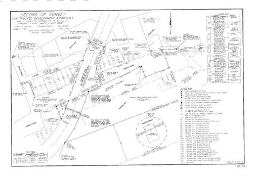
Record of Survey Book 17, pg. 24 (2018)
NC Recorders Map Survey 17-024-2:
NC Recorders Map Survey 17-024-2:
Truckee Development Assoc.. Donner Pass Road (Old Hwy. 267). Glenshire Drive (old Hwy. 40). Trout Creek. U.P.R.R. Centerline. Church Street (Truckee). School Street (Truckee). E Street. Tahoe Truckee Lumber Co... See More

Record of Survey Book 17, pg. 24 (2018)
NC Recorders Map Survey 17-024-3:
NC Recorders Map Survey 17-024-3:
Truckee Development Assoc.. Donner Pass Road (Old Hwy. 267). Glenshire Drive (old Hwy. 40). Trout Creek. U.P.R.R. Centerline. Church Street (Truckee). School Street (Truckee). E Street. Tahoe Truckee Lumber Co... See More

Record of Survey Book 17, pg. 24 (2018)
NC Recorders Map Survey 17-024-4:
NC Recorders Map Survey 17-024-4:
Truckee Development Assoc.. Donner Pass Road (Old Hwy. 267). Glenshire Drive (old Hwy. 40). Trout Creek. U.P.R.R. Centerline. Church Street (Truckee). School Street (Truckee). E Street. Tahoe Truckee Lumber Co... See More

Record of Survey Book 17, pg. 24 (2018)
NC Recorders Map Survey 17-024-5:
NC Recorders Map Survey 17-024-5:
Truckee Development Assoc.. Donner Pass Road (Old Hwy. 267). Glenshire Drive (old Hwy. 40). Trout Creek. U.P.R.R. Centerline. Church Street (Truckee). School Street (Truckee). E Street. Tahoe Truckee Lumber Co... See More
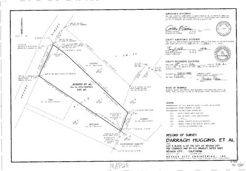
Record of Survey Book 17, pg. 25
NC Recorders Map Survey 17-025:
Huggins, Darragh et al. Nevada City Block 3, lot 5. Nevada Street. Carlton,. Sims,. Montano,
NC Recorders Map Survey 17-025:
Huggins, Darragh et al. Nevada City Block 3, lot 5. Nevada Street. Carlton,. Sims,. Montano,
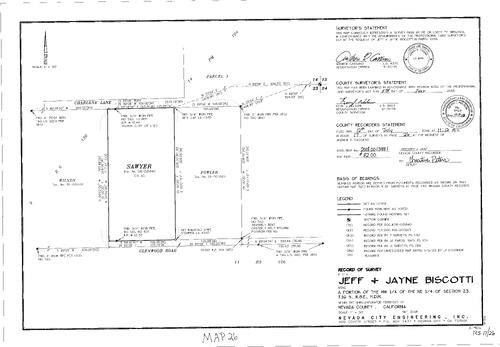
Record of Survey Book 17, pg. 26
NC Recorders Map Survey 17-026:
Biscotti, Jeff & Jayne. Glenwood Road. Charlene Lane. Fowler,. Wilson,
NC Recorders Map Survey 17-026:
Biscotti, Jeff & Jayne. Glenwood Road. Charlene Lane. Fowler,. Wilson,
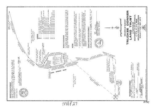
Record of Survey Book 17, pg. 27
NC Recorders Map Survey 17-027:
Truckee Donner Land Trust. Soda Springs Road
NC Recorders Map Survey 17-027:
Truckee Donner Land Trust. Soda Springs Road

Record of Survey Book 17, pg. 28
NC Recorders Map Survey 17-028:
Finne, Samuel J.. Sierra Avenue. Spring Lane. Lake Avenue. Interstate 80
NC Recorders Map Survey 17-028:
Finne, Samuel J.. Sierra Avenue. Spring Lane. Lake Avenue. Interstate 80

Record of Survey Book 17, pg. 29
NC Recorders Map Survey 17-029:
Johnson, Christine M.. Golden Center Freeway. Sacramento Street. Clark Street. Pine Street
NC Recorders Map Survey 17-029:
Johnson, Christine M.. Golden Center Freeway. Sacramento Street. Clark Street. Pine Street
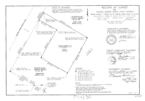
Record of Survey Book 17, pg. 30
NC Recorders Map Survey 17-030:
Truckee Donner Public Utility District. Truckee Tahoe Airport Road. Truckee Tahoe Airport District
NC Recorders Map Survey 17-030:
Truckee Donner Public Utility District. Truckee Tahoe Airport Road. Truckee Tahoe Airport District
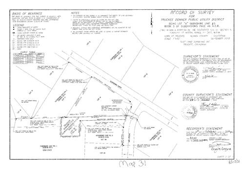
Record of Survey Book 17, pg. 31
NC Recorders Map Survey 17-031:
Truckee Donner Public Utility District. Glenshire Drive. The Strand
NC Recorders Map Survey 17-031:
Truckee Donner Public Utility District. Glenshire Drive. The Strand

Record of Survey Book 17, pg. 32
NC Recorders Map Survey 17-032:
Hansel Avenue. Lausanne Way. Truckee Donner Public Utility District
NC Recorders Map Survey 17-032:
Hansel Avenue. Lausanne Way. Truckee Donner Public Utility District

Record of Survey Book 17, pg. 33
NC Recorders Map Survey 17-033:
Truckee Donner Public Utility District. Brockway Road (old Highway 267). Palisades Drive. Winter Creek Loop. Ponderosa Palisades Townhouses. Palisades Truckee Townhomes
NC Recorders Map Survey 17-033:
Truckee Donner Public Utility District. Brockway Road (old Highway 267). Palisades Drive. Winter Creek Loop. Ponderosa Palisades Townhouses. Palisades Truckee Townhomes

Record of Survey Book 17, pg. 34
NC Recorders Map Survey 17-034:
Truckee Donner Public Utility District. Northwoods Boulevard
NC Recorders Map Survey 17-034:
Truckee Donner Public Utility District. Northwoods Boulevard
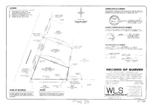
Record of Survey Book 17, pg. 35
NC Recorders Map Survey 17-035:
Dollens Family Investments LLC. Northwoods Bouldevard
NC Recorders Map Survey 17-035:
Dollens Family Investments LLC. Northwoods Bouldevard

Record of Survey Book 17, pg. 37
NC Recorders Map Survey 17-037:
Johnston, Julie. Colfax Avenue. Henderson Street
NC Recorders Map Survey 17-037:
Johnston, Julie. Colfax Avenue. Henderson Street
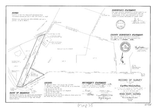
Record of Survey Book 17, pg. 38
NC Recorders Map Survey 17-038:
McConahey, Cynthia. State Highway 49. Freeman Street (North San Juan). Oak Tree Road
NC Recorders Map Survey 17-038:
McConahey, Cynthia. State Highway 49. Freeman Street (North San Juan). Oak Tree Road

Record of Survey Book 17, pg. 39
NC Recorders Map Survey 17-039:
Quintana, German & Oscar. State Highway 20. Kearney Court
NC Recorders Map Survey 17-039:
Quintana, German & Oscar. State Highway 20. Kearney Court

Record of Survey Book 17, pg. 40
NC Recorders Map Survey 17-040:
Barbera, Melinda S.. Old Downieville Highway
NC Recorders Map Survey 17-040:
Barbera, Melinda S.. Old Downieville Highway
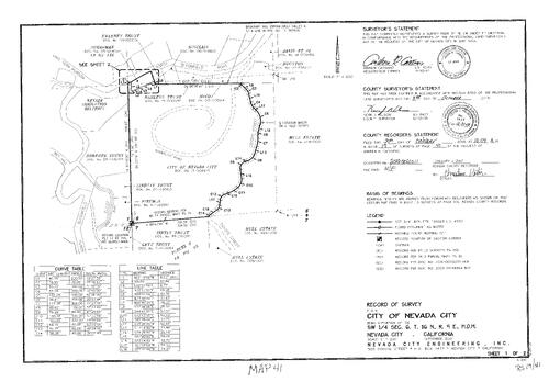
Record of Survey Book 17, pg. 41
NC Recorders Map Survey 17-041-1:
City of Nevada City. North Bloomfield Road. Lake Vera Purdon Road. N.I.D.. Wet Hill. Elliot Way. Coyote Street. Sugarloaf Road. N.I.D. Snow Mountain Canal
NC Recorders Map Survey 17-041-1:
City of Nevada City. North Bloomfield Road. Lake Vera Purdon Road. N.I.D.. Wet Hill. Elliot Way. Coyote Street. Sugarloaf Road. N.I.D. Snow Mountain Canal

Record of Survey Book 17, pg. 41
NC Recorders Map Survey 17-041-2:
City of Nevada City. North Bloomfield Road. Lake Vera Purdon Road. N.I.D.. Wet Hill. Elliot Way. Coyote Street. Sugarloaf Road. N.I.D. Snow Mountain Canal
NC Recorders Map Survey 17-041-2:
City of Nevada City. North Bloomfield Road. Lake Vera Purdon Road. N.I.D.. Wet Hill. Elliot Way. Coyote Street. Sugarloaf Road. N.I.D. Snow Mountain Canal
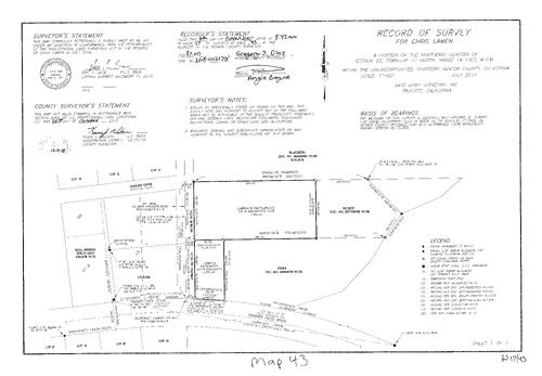
Record of Survey Book 17, pg. 43
NC Recorders Map Survey 17-043:
Lamen, Chris. Donner Drive. Auburn Ski Club. Lamen & Matsumoto. Donner Pass Road
NC Recorders Map Survey 17-043:
Lamen, Chris. Donner Drive. Auburn Ski Club. Lamen & Matsumoto. Donner Pass Road

Record of Survey Book 17, pg. 44
NC Recorders Map Survey 17-044:
Donner Pass Road. Donner Lake Road. Stearns, Esther. Gregory Creek Estate LLC. Configurable Spaces LLC
NC Recorders Map Survey 17-044:
Donner Pass Road. Donner Lake Road. Stearns, Esther. Gregory Creek Estate LLC. Configurable Spaces LLC
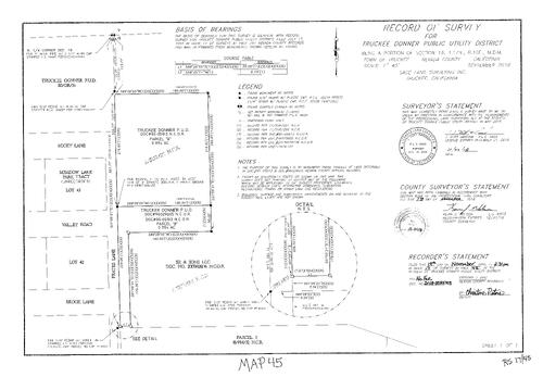
Record of Survey Book 17, pg. 45
NC Recorders Map Survey 17-045:
Truckee Donner Public Utility District. Frates Lane. Brook Lane. Valley Road. Rocky Lane
NC Recorders Map Survey 17-045:
Truckee Donner Public Utility District. Frates Lane. Brook Lane. Valley Road. Rocky Lane
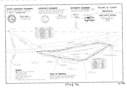
Record of Survey Book 17, pg. 46
NC Recorders Map Survey 17-046:
Green, Robert. Pittsburg Road. Pittsburg Road, Old. Idaho Ditch, Old
NC Recorders Map Survey 17-046:
Green, Robert. Pittsburg Road. Pittsburg Road, Old. Idaho Ditch, Old
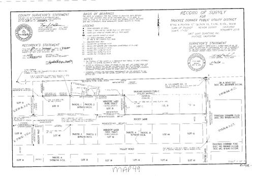
Record of Survey Book 17, pg. 49
NC Recorders Map Survey 17-049:
Truckee Donner Public Utility District. Rocky Lane. Meadow Way. Valley Road. Frates Lane
NC Recorders Map Survey 17-049:
Truckee Donner Public Utility District. Rocky Lane. Meadow Way. Valley Road. Frates Lane

Record of Survey Book 17, pg. 50
NC Recorders Map Survey 17-050:
Towey, Gavin. Donner Drive. Donner Pass Road (old U.S. 40). Mount Diablo Ski Club Corp.
NC Recorders Map Survey 17-050:
Towey, Gavin. Donner Drive. Donner Pass Road (old U.S. 40). Mount Diablo Ski Club Corp.
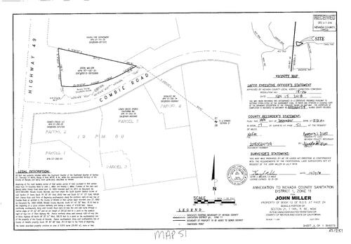
Record of Survey Book 17, pg. 51
NC Recorders Map Survey 17-051:
Miller, John. State Highway 49. Combie Road. Higgins Fire Department. Annexation to Nevada Co. Sanitation Dist.1,zone 11
NC Recorders Map Survey 17-051:
Miller, John. State Highway 49. Combie Road. Higgins Fire Department. Annexation to Nevada Co. Sanitation Dist.1,zone 11

Record of Survey Book 17, pg. 55
NC Recorders Map Survey 17-055:
Perkins, Austin. Summit Drive. Moraine Road. Interstate 80. Donner Pass Road
NC Recorders Map Survey 17-055:
Perkins, Austin. Summit Drive. Moraine Road. Interstate 80. Donner Pass Road
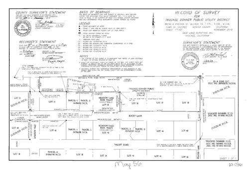
Record of Survey Book 17, pg. 56
NC Recorders Map Survey 17-056:
Truckee Donner Public Utility District. Meadow Way. Rocky Lane. Valley Road. Frates Lane
NC Recorders Map Survey 17-056:
Truckee Donner Public Utility District. Meadow Way. Rocky Lane. Valley Road. Frates Lane
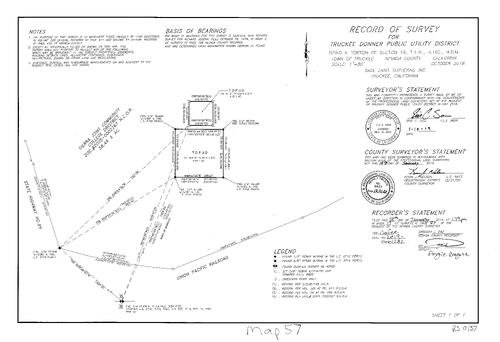
Record of Survey Book 17, pg. 57
NC Recorders Map Survey 17-057:
Truckee Donner Public Utility District. Sierra Joint Community College District. State Highway 89. U.P.R.R.
NC Recorders Map Survey 17-057:
Truckee Donner Public Utility District. Sierra Joint Community College District. State Highway 89. U.P.R.R.
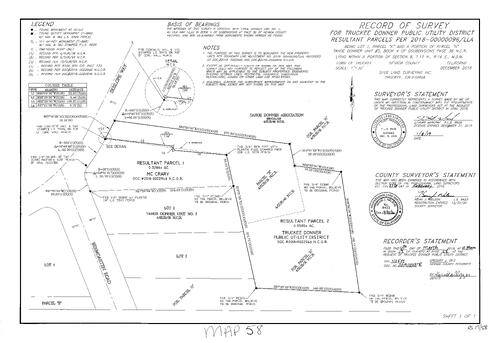
Record of Survey Book 17, pg. 58
NC Recorders Map Survey 17-058:
Truckee Donner Public Utility District. Skislope Way. Bermgarten Road
NC Recorders Map Survey 17-058:
Truckee Donner Public Utility District. Skislope Way. Bermgarten Road
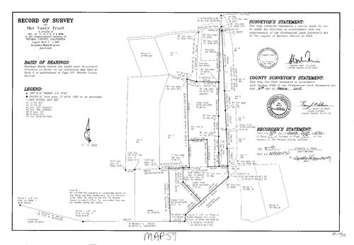
Record of Survey Book 17, pg. 59
NC Recorders Map Survey 17-059:
Vasey Trust. Bitney Springs Road. White Law Reid Quartz Mine
NC Recorders Map Survey 17-059:
Vasey Trust. Bitney Springs Road. White Law Reid Quartz Mine

Record of Survey Book 17, pg. 60
NC Recorders Map Survey 17-060:
Henrickson, Kathryn & William. Meadow Drive
NC Recorders Map Survey 17-060:
Henrickson, Kathryn & William. Meadow Drive

Record of Survey Book 17, pg. 61
NC Recorders Map Survey 17-061:
Curtis, Richard. School Street, Truckee. E Street, Truckee. Church Street, Truckee. Donner Pass Road (old State Highway 267)
NC Recorders Map Survey 17-061:
Curtis, Richard. School Street, Truckee. E Street, Truckee. Church Street, Truckee. Donner Pass Road (old State Highway 267)

Record of Survey Book 17, pg. 62
NC Recorders Map Survey 17-062:
Dixon, Kenneth. Conifer Lane. Butler Road. Alpine Lane. Walker Drive
NC Recorders Map Survey 17-062:
Dixon, Kenneth. Conifer Lane. Butler Road. Alpine Lane. Walker Drive

Record of Survey Book 17, pg. 63
NC Recorders Map Survey 17-063:
Habitat for Humanity. Park Street. Kendall Street. Stennett Streat. Colfax East. Nevada County Habitat for Humanity. Stennett Street. Swinney Family Trust
NC Recorders Map Survey 17-063:
Habitat for Humanity. Park Street. Kendall Street. Stennett Streat. Colfax East. Nevada County Habitat for Humanity. Stennett Street. Swinney Family Trust

Record of Survey Book 17, pg. 65
NC Recorders Map Survey 17-065:
Briggs, Katelyn. Tyler Foote Road. U.S.A. Unpatented land. Fandor Farm Trust. Cynthia L. Meluk & Clearwater 2007 Trust. Bratt, James & Susan Family Trust. Clearwater 2007 Living Trust. Meluk, Cynthia L.
NC Recorders Map Survey 17-065:
Briggs, Katelyn. Tyler Foote Road. U.S.A. Unpatented land. Fandor Farm Trust. Cynthia L. Meluk & Clearwater 2007 Trust. Bratt, James & Susan Family Trust. Clearwater 2007 Living Trust. Meluk, Cynthia L.

Record of Survey Book 17, pg. 67
NC Recorders Map Survey 17-067:
NC Recorders Map Survey 17-067:
Thomas, Teresa. Main Street, West. Block 25, lot 7 Grass Valley. Church Street, South. Everhart... See More

Record of Survey Book 17, pg. 68
NC Recorders Map Survey 17-068:
Manetta, Jamie. Martis Drive. Interstate 80. Palisades Street. Donner Camp Buckman Tract. Biltz Tract. I-80
NC Recorders Map Survey 17-068:
Manetta, Jamie. Martis Drive. Interstate 80. Palisades Street. Donner Camp Buckman Tract. Biltz Tract. I-80
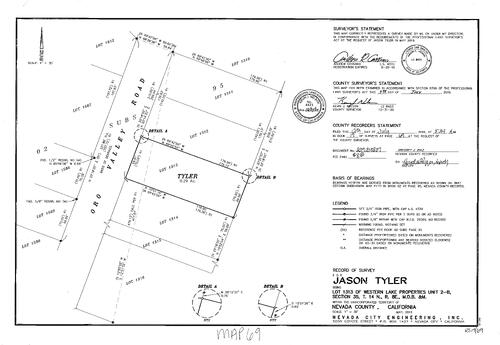
Survey 17, pg. 69 (2019)
NC Recorders Map Survey 17-069:
Oro Valley Roas. Tyler, Jason. Western Lakes Properties Unit 2-B
NC Recorders Map Survey 17-069:
Oro Valley Roas. Tyler, Jason. Western Lakes Properties Unit 2-B

Survey 17, pg. 70 (2019)
NC Recorders Map Survey 17-070:
Alpine Lane. Butler Road. Cockrell, Patricia. Walker Drive
NC Recorders Map Survey 17-070:
Alpine Lane. Butler Road. Cockrell, Patricia. Walker Drive
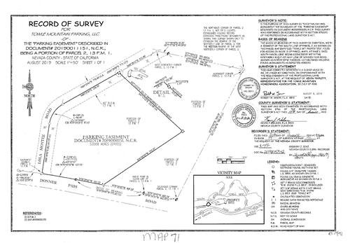
Survey 17, pg. 71 (2019)
NC Recorders Map Survey 17-071:
Donner Pass Road. Lola Montez Road. Towle Mountain Homeowners Assoc.. Towle Mountain Parking, LLC
NC Recorders Map Survey 17-071:
Donner Pass Road. Lola Montez Road. Towle Mountain Homeowners Assoc.. Towle Mountain Parking, LLC
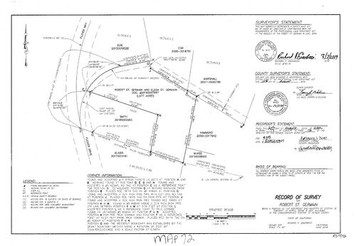
Survey 17, pg. 72 (2019)
NC Recorders Map Survey 17-072:
Flicker Drive. Plover Way. St. Germain, Robert
NC Recorders Map Survey 17-072:
Flicker Drive. Plover Way. St. Germain, Robert
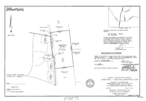
Survey 17, pg. 73 (2019)
NC Recorders Map Survey 17-073:
Armstrong Road. Checkvala, William M.. County Sanitation District Annexation
NC Recorders Map Survey 17-073:
Armstrong Road. Checkvala, William M.. County Sanitation District Annexation
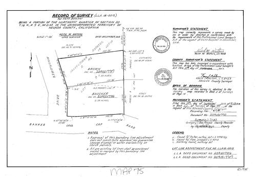
Survey 17, pg. 75 (2019)
NC Recorders Map Survey 17-075:
Banner Lava Cap Road. Boucher, Keith. Mayflower Drive
NC Recorders Map Survey 17-075:
Banner Lava Cap Road. Boucher, Keith. Mayflower Drive
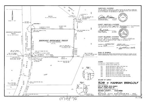
Survey 17, pg. 76 (2019)
NC Recorders Map Survey 17-076:
Bringolf Revocable Trust. Bringolf, Rob & Hannah. Buena Vista Ranch portion lot 31. Meadow Drive. Subdivision 1, pg. 29 lot 31
NC Recorders Map Survey 17-076:
Bringolf Revocable Trust. Bringolf, Rob & Hannah. Buena Vista Ranch portion lot 31. Meadow Drive. Subdivision 1, pg. 29 lot 31
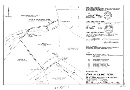
Survey 17, pg. 77 (2019)
NC Recorders Map Survey 17-077:
Colvin Road. Dawking Road. Pena, Dan & Elsie. Quail Drive. Quartz Road. Veysel Place
NC Recorders Map Survey 17-077:
Colvin Road. Dawking Road. Pena, Dan & Elsie. Quail Drive. Quartz Road. Veysel Place
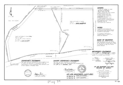
Survey 17, pg. 79. (2019)
NC Recorders Map Survey 17-079:
Jones, Franklin. Oak Tree Road. Robinson Road
NC Recorders Map Survey 17-079:
Jones, Franklin. Oak Tree Road. Robinson Road

Survey 17, pg. 80 (2019)
NC Recorders Map Survey 17-080:
Bryars, Marin C.. Bryars, Shaun A.. Oak Tree Road. Tyler Foote Crossing Road
NC Recorders Map Survey 17-080:
Bryars, Marin C.. Bryars, Shaun A.. Oak Tree Road. Tyler Foote Crossing Road
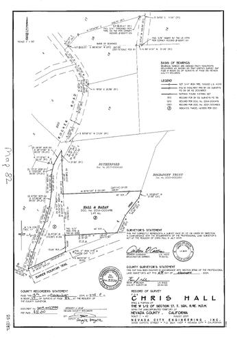
Survey 17, pg. 82 (2019)
NC Recorders Map Survey 17-082:
Banner Mountain Trail. Hall & Bazan. Hall, chris. Rocker Road
NC Recorders Map Survey 17-082:
Banner Mountain Trail. Hall & Bazan. Hall, chris. Rocker Road

Record of Survey Book 17, pg. 083
NC Recorders Map Survey 17-083:
Ehret, Nichole. Ute Drive. Donner Lake Woods Phase I. Summit Creak Meadows. Emmons Tract Block C
NC Recorders Map Survey 17-083:
Ehret, Nichole. Ute Drive. Donner Lake Woods Phase I. Summit Creak Meadows. Emmons Tract Block C
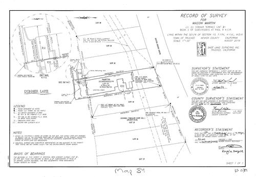
Record of Survey Book 17, pg. 084
NC Recorders Map Survey 17-084:
Mason, Martin. Donner Terrace #1 lot 23. South Shore Drive. Donner Lake
NC Recorders Map Survey 17-084:
Mason, Martin. Donner Terrace #1 lot 23. South Shore Drive. Donner Lake

Record of Survey Book 17, pg. 085
NC Recorders Map Survey 17-085:
Wells, Timothy. T16, R8 Sec. 3 portion. Orzalli Family Trust. Parcel Map 16-147. Parcel Map 09-101. Parcel Map 08-150
NC Recorders Map Survey 17-085:
Wells, Timothy. T16, R8 Sec. 3 portion. Orzalli Family Trust. Parcel Map 16-147. Parcel Map 09-101. Parcel Map 08-150
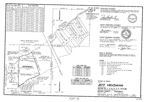
Record of Survey Book 17, pg. 086
NC Recorders Map Survey 17-086:
Hekemean, Jeff. Sierra Pacific Land & Timber Co.. McMurray, Geoffrey R. Trust et al. Seliger Trust
NC Recorders Map Survey 17-086:
Hekemean, Jeff. Sierra Pacific Land & Timber Co.. McMurray, Geoffrey R. Trust et al. Seliger Trust

Survey Book 17-087
NC Recorders Map Survey 17-087:
Brown, Jonathan M.. Pedroncelli, Joanne E.. Pine Peak Road. Greenhorn Road. Lumiere, Lynn Marie. Marsh, Frederick D.. Kerrick & Susan Anderson Family Trust. Parcel Map 7-50
NC Recorders Map Survey 17-087:
Brown, Jonathan M.. Pedroncelli, Joanne E.. Pine Peak Road. Greenhorn Road. Lumiere, Lynn Marie. Marsh, Frederick D.. Kerrick & Susan Anderson Family Trust. Parcel Map 7-50
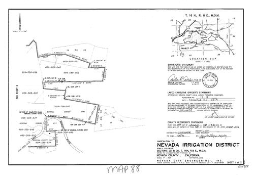
Survey Book 17, pg. 088
NC Recorders Map Survey 17-088-1:
NC Recorders Map Survey 17-088-1:
N.I.D. Annexation. Bennett Road, East. Mineral survey 2781. Mineral Survey 4217. Mineral Survey 5357. Parcel Map book 17, pg. 161. Idaho Maryland Road. Centennial Drive. Whispering Pines Lane. Record of Survey... See More

Survey Book 17, pg. 088
NC Recorders Map Survey 17-088-2:
NC Recorders Map Survey 17-088-2:
N.I.D. Annexation. Bennett Road, East. Mineral survey 2781. Mineral Survey 4217. Mineral Survey 5357. Parcel Map book 17, pg. 161. Idaho Maryland Road. Centennial Drive. Whispering Pines Lane. Record of Survey... See More

Survey Book 17, pg. 089
NC Recorders Map Survey 17-089:
Juniper Properties LLC. Creekside Woods Phase I. Subdivision 8-130. Kuenlen Trust. Old Highway Drive. Emmons Tract Block A Lots 7 & 8. Subsivision Book 1-100. Old Highway Drive, Truckee. Creekside Woods, Phase I
NC Recorders Map Survey 17-089:
Juniper Properties LLC. Creekside Woods Phase I. Subdivision 8-130. Kuenlen Trust. Old Highway Drive. Emmons Tract Block A Lots 7 & 8. Subsivision Book 1-100. Old Highway Drive, Truckee. Creekside Woods, Phase I
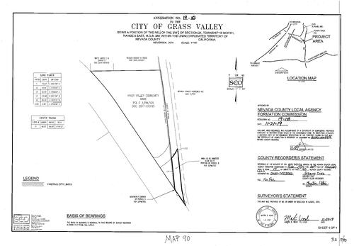
Survey Book 17, pg. 090
NC Recorders Map Survey 17-090:
City of Grass Valley Annexation. Nevada County Horsemen. River Valley Community Bank. Town Talk Road. Brunswick Road. Grass Valley City Annexation 19-18. Parcel Map 3-125
NC Recorders Map Survey 17-090:
City of Grass Valley Annexation. Nevada County Horsemen. River Valley Community Bank. Town Talk Road. Brunswick Road. Grass Valley City Annexation 19-18. Parcel Map 3-125

Survey book 17, pg. 091
NC Recorders Map Survey 17-091:
City of Grass Valley Annexation 19-18. Cedar Avenue. Squirrel Creek Road. Rough & Ready Highway. T16, R8 Sec. 27 & 28. Gilmore Way
NC Recorders Map Survey 17-091:
City of Grass Valley Annexation 19-18. Cedar Avenue. Squirrel Creek Road. Rough & Ready Highway. T16, R8 Sec. 27 & 28. Gilmore Way

Survey book 17, pg. 092
NC Recorders Map Survey 17-092:
Westhill Road. Hossain, Mohammad et ux. Record of Survey 14-39. Mohammad Hossain et ux. T16, R8 Sec. 28
NC Recorders Map Survey 17-092:
Westhill Road. Hossain, Mohammad et ux. Record of Survey 14-39. Mohammad Hossain et ux. T16, R8 Sec. 28

Survey book 17, pg. 093
NC Recorders Map Survey 17-093:
Morgan, Gregory & Jeanne. Orchard Street. Broad Street, East. Oregon Ravine. Morgan Trust. Nevada City Block 27, Lot 2 official Map 1869. East Broad Street
NC Recorders Map Survey 17-093:
Morgan, Gregory & Jeanne. Orchard Street. Broad Street, East. Oregon Ravine. Morgan Trust. Nevada City Block 27, Lot 2 official Map 1869. East Broad Street

Survey book 17, pg. 094
NC Recorders Map Survey 17-094:
Fowler, Frank. Broad Street, East. Oregon Ravine. Nevada City Block 28, lot 9 official map 1869. East Broad Street
NC Recorders Map Survey 17-094:
Fowler, Frank. Broad Street, East. Oregon Ravine. Nevada City Block 28, lot 9 official map 1869. East Broad Street
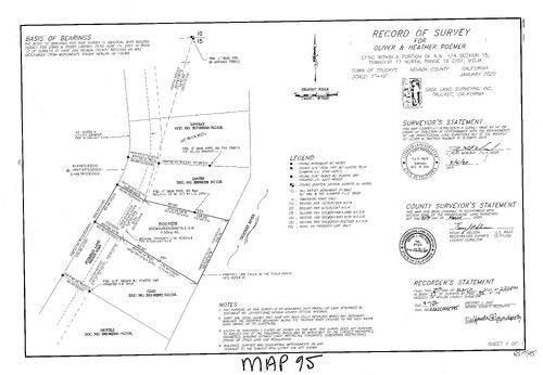
Survey book 17, pg. 095
NC Recorders Map Survey 17-095:
Roemer, Oliver & Heather. Foxmead Lane (private road). Truckee River
NC Recorders Map Survey 17-095:
Roemer, Oliver & Heather. Foxmead Lane (private road). Truckee River

Record of Survey Book 17, pg. 096
NC Recorders Map Survey 17-096:
Starr, William. Brewer Road. Golden Oaks Subdivision lot 102. Subdivision Book 5, pg. 63. Robinson Truste. Calvillo,
NC Recorders Map Survey 17-096:
Starr, William. Brewer Road. Golden Oaks Subdivision lot 102. Subdivision Book 5, pg. 63. Robinson Truste. Calvillo,

Record of Survey Book 17, pg. 097
NC Recorders Map Survey 17-097:
Nevda County Sanitation Dist. Annexation #377. State Highway 49. Combie Road. Woodbridge Drive. Nevada Count Sanitation Dist. Annexation Map #1 zo. Higgins Road
NC Recorders Map Survey 17-097:
Nevda County Sanitation Dist. Annexation #377. State Highway 49. Combie Road. Woodbridge Drive. Nevada Count Sanitation Dist. Annexation Map #1 zo. Higgins Road

Record of Survey Book 17, pg. 098
NC Recorders Map Survey 17-098:
Wahlen, Jeanette. Banner Lava Cap Road. D. S. Canal. Harris,. Baker
NC Recorders Map Survey 17-098:
Wahlen, Jeanette. Banner Lava Cap Road. D. S. Canal. Harris,. Baker
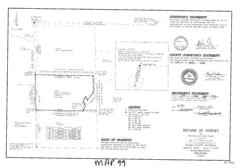
Record of Survey, Book 17, pg. 099, 2020
NC Recorders Map Survey 17-099:
Green, Pameala & Bob. Diersak Way. N.I.D. Ditch
NC Recorders Map Survey 17-099:
Green, Pameala & Bob. Diersak Way. N.I.D. Ditch

Record of Survey, Book 17, pg. 100, 2020
NC Recorders Map Survey 17-100:
Davis, Kurt. Lazuli Lane. Flicker Drive. Chantal Corbat Trust. Quentmeyer,. Moore,. Edie Family Revocable Trust. Smith,. Eliker,. Bowery,
NC Recorders Map Survey 17-100:
Davis, Kurt. Lazuli Lane. Flicker Drive. Chantal Corbat Trust. Quentmeyer,. Moore,. Edie Family Revocable Trust. Smith,. Eliker,. Bowery,
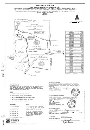
Record of Survey, Book 17, pg. 101, 2020
NC Recorders Map Survey 17-101-1:
Brown Homestead Co. Inc.. Pleasant Valley Road. Sweetland Creek
NC Recorders Map Survey 17-101-1:
Brown Homestead Co. Inc.. Pleasant Valley Road. Sweetland Creek
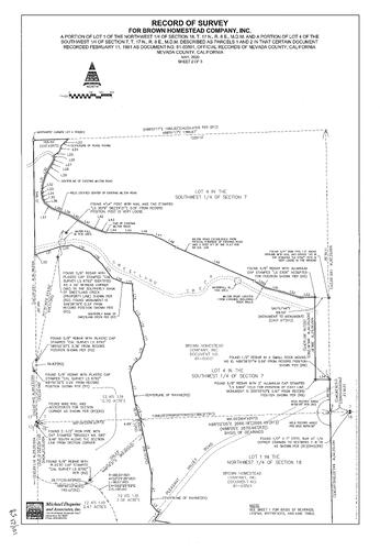
Record of Survey, Book 17, pg. 101, 2020
NC Recorders Map Survey 17-101-2:
Brown Homestead Co. Inc.. Pleasant Valley Road. Sweetland Creek
NC Recorders Map Survey 17-101-2:
Brown Homestead Co. Inc.. Pleasant Valley Road. Sweetland Creek

Record of Survey, Book 17, pg. 101, 2020
NC Recorders Map Survey 17-101-3:
Brown Homestead Co. Inc.. Pleasant Valley Road. Sweetland Creek
NC Recorders Map Survey 17-101-3:
Brown Homestead Co. Inc.. Pleasant Valley Road. Sweetland Creek

Record of Survey, Book 17, pg. 102, 2020
NC Recorders Map Survey 17-102:
Blake, Brian. Gleason,. Gleason Family Trust. Donnelly. Cahill. McCombs
NC Recorders Map Survey 17-102:
Blake, Brian. Gleason,. Gleason Family Trust. Donnelly. Cahill. McCombs
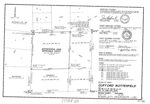
Record of Survey, Book 17, pg. 103, 2020
NC Recorders Map Survey 17-103:
Bottenfield, Clifford. Bottenfield Revocable Trust. Matson et al. Hayward,. Siemers,
NC Recorders Map Survey 17-103:
Bottenfield, Clifford. Bottenfield Revocable Trust. Matson et al. Hayward,. Siemers,

Record of Survey, Book 17, pg. 104, 2020
NC Recorders Map Survey 17-104-1:
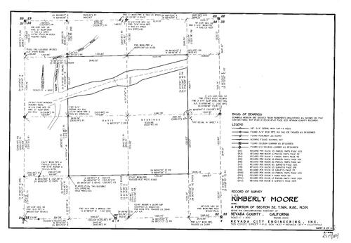
Moore, Kimberly. Albera, Joseph & Joyce Trust
NC Recorders Map Survey 17-104-1:
Moore, Kimberly. Albera, Joseph & Joyce Trust
Record of Survey, Book 17, pg. 104, 2020
NC Recorders Map Survey 17-104-2:
Moore, Kimberly. Albera, Joseph & Joyce Trust
NC Recorders Map Survey 17-104-2:
Moore, Kimberly. Albera, Joseph & Joyce Trust

Record of Survey, Book 17, pg. 105, 2020
NC Recorders Map Survey 17-105-1:
Biega, Brian. Interstate 80. Bridge Street. Keiser Avenue. Dumas Way. Perkins Street. Smith Street. McGlashan's Addition. T17, R16, Sec. 15
NC Recorders Map Survey 17-105-1:
Biega, Brian. Interstate 80. Bridge Street. Keiser Avenue. Dumas Way. Perkins Street. Smith Street. McGlashan's Addition. T17, R16, Sec. 15

Record of Survey, Book 17, pg. 105, 2020
NC Recorders Map Survey 17-105-2:
Biega, Brian. Interstate 80. Bridge Street. Keiser Avenue. Dumas Way. Perkins Street. Smith Street. McGlashan's Addition. T17, R16, Sec. 15
NC Recorders Map Survey 17-105-2:
Biega, Brian. Interstate 80. Bridge Street. Keiser Avenue. Dumas Way. Perkins Street. Smith Street. McGlashan's Addition. T17, R16, Sec. 15

Record of Survey, Book 17, pg. 106, 2020
NC Recorders Map Survey 17-106-1:
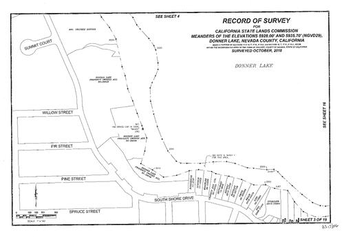
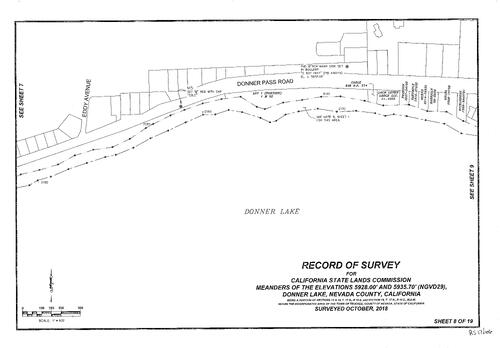
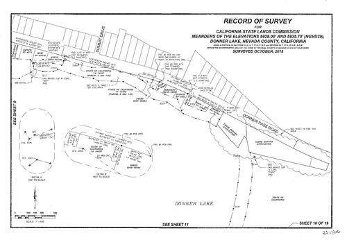
California State Lands Commission. Donner Lake, Meanders of elevations (19 pgs.)
NC Recorders Map Survey 17-106-1:
California State Lands Commission. Donner Lake, Meanders of elevations (19 pgs.)

Record of Survey, Book 17, pg. 106, 2020
NC Recorders Map Survey 17-106-2:
California State Lands Commission. Donner Lake, Meanders of elevations (19 pgs.)
NC Recorders Map Survey 17-106-2:
California State Lands Commission. Donner Lake, Meanders of elevations (19 pgs.)
Record of Survey, Book 17, pg. 106, 2020
NC Recorders Map Survey 17-106-3:
California State Lands Commission. Donner Lake, Meanders of elevations (19 pgs.)
NC Recorders Map Survey 17-106-3:
California State Lands Commission. Donner Lake, Meanders of elevations (19 pgs.)

Record of Survey, Book 17, pg. 106, 2020
NC Recorders Map Survey 17-106-4:
California State Lands Commission. Donner Lake, Meanders of elevations (19 pgs.)
NC Recorders Map Survey 17-106-4:
California State Lands Commission. Donner Lake, Meanders of elevations (19 pgs.)

Record of Survey, Book 17, pg. 106, 2020
NC Recorders Map Survey 17-106-5:
California State Lands Commission. Donner Lake, Meanders of elevations (19 pgs.)
NC Recorders Map Survey 17-106-5:
California State Lands Commission. Donner Lake, Meanders of elevations (19 pgs.)

Record of Survey, Book 17, pg. 106, 2020
NC Recorders Map Survey 17-106-6:
California State Lands Commission. Donner Lake, Meanders of elevations (19 pgs.)
NC Recorders Map Survey 17-106-6:
California State Lands Commission. Donner Lake, Meanders of elevations (19 pgs.)

Record of Survey, Book 17, pg. 106, 2020
NC Recorders Map Survey 17-106-7:
California State Lands Commission. Donner Lake, Meanders of elevations (19 pgs.)
NC Recorders Map Survey 17-106-7:
California State Lands Commission. Donner Lake, Meanders of elevations (19 pgs.)
Record of Survey, Book 17, pg. 106, 2020
NC Recorders Map Survey 17-106-8:
California State Lands Commission. Donner Lake, Meanders of elevations (19 pgs.)
NC Recorders Map Survey 17-106-8:
California State Lands Commission. Donner Lake, Meanders of elevations (19 pgs.)

Record of Survey, Book 17, pg. 106, 2020
NC Recorders Map Survey 17-106-9:
California State Lands Commission. Donner Lake, Meanders of elevations (19 pgs.)
NC Recorders Map Survey 17-106-9:
California State Lands Commission. Donner Lake, Meanders of elevations (19 pgs.)
Record of Survey, Book 17, pg. 106, 2020
NC Recorders Map Survey 17-106-10:
California State Lands Commission. Donner Lake, Meanders of elevations (19 pgs.)
NC Recorders Map Survey 17-106-10:
California State Lands Commission. Donner Lake, Meanders of elevations (19 pgs.)
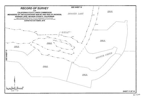
Record of Survey, Book 17, pg. 106, 2020
NC Recorders Map Survey 17-106-11:
California State Lands Commission. Donner Lake, Meanders of elevations (19 pgs.)
NC Recorders Map Survey 17-106-11:
California State Lands Commission. Donner Lake, Meanders of elevations (19 pgs.)
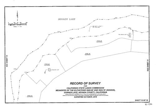
Record of Survey, Book 17, pg. 106, 2020
NC Recorders Map Survey 17-106-12:
California State Lands Commission. Donner Lake, Meanders of elevations (19 pgs.)
NC Recorders Map Survey 17-106-12:
California State Lands Commission. Donner Lake, Meanders of elevations (19 pgs.)
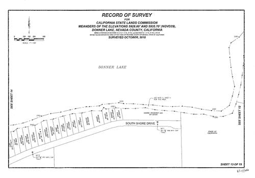
Record of Survey, Book 17, pg. 106, 2020
NC Recorders Map Survey 17-106-13:
California State Lands Commission. Donner Lake, Meanders of elevations (19 pgs.)
NC Recorders Map Survey 17-106-13:
California State Lands Commission. Donner Lake, Meanders of elevations (19 pgs.)

Record of Survey, Book 17, pg. 106, 2020
NC Recorders Map Survey 17-106-14:
California State Lands Commission. Donner Lake, Meanders of elevations (19 pgs.)
NC Recorders Map Survey 17-106-14:
California State Lands Commission. Donner Lake, Meanders of elevations (19 pgs.)

Record of Survey, Book 17, pg. 106, 2020
NC Recorders Map Survey 17-106-15:
California State Lands Commission. Donner Lake, Meanders of elevations (19 pgs.)
NC Recorders Map Survey 17-106-15:
California State Lands Commission. Donner Lake, Meanders of elevations (19 pgs.)
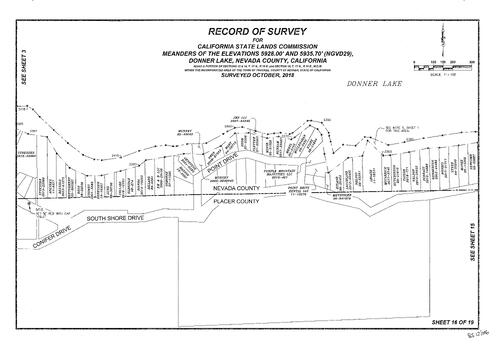
Record of Survey, Book 17, pg. 106, 2020
NC Recorders Map Survey 17-106-16:
California State Lands Commission. Donner Lake, Meanders of elevations (19 pgs.)
NC Recorders Map Survey 17-106-16:
California State Lands Commission. Donner Lake, Meanders of elevations (19 pgs.)
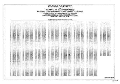
Record of Survey, Book 17, pg. 106, 2020
NC Recorders Map Survey 17-106-17:
California State Lands Commission. Donner Lake, Meanders of elevations (19 pgs.)
NC Recorders Map Survey 17-106-17:
California State Lands Commission. Donner Lake, Meanders of elevations (19 pgs.)

Record of Survey, Book 17, pg. 106, 2020
NC Recorders Map Survey 17-106-18:
California State Lands Commission. Donner Lake, Meanders of elevations (19 pgs.)
NC Recorders Map Survey 17-106-18:
California State Lands Commission. Donner Lake, Meanders of elevations (19 pgs.)

Record of Survey, Book 17, pg. 106, 2020
NC Recorders Map Survey 17-106-19:
California State Lands Commission. Donner Lake, Meanders of elevations (19 pgs.)
NC Recorders Map Survey 17-106-19:
California State Lands Commission. Donner Lake, Meanders of elevations (19 pgs.)

Record of Survey, Book 17, pg. 107, 2020
NC Recorders Map Survey 17-107:
NC Recorders Map Survey 17-107:
Bennett, Max & Dorin. T16, R8, Sec. 33. McCourtney Road. Orion Way. Herrera Trust. Bennett Trust... See More
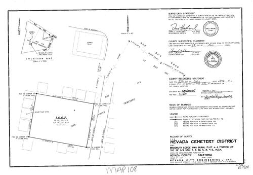
Record of Survey, Book 17, pg. 108, 2020
NC Recorders Map Survey 17-108:
Nevada Cemetery District. Pine Grove Cemetery. Red Dog Road. I.O.O.F. Cemetery. Jenkins Plot
NC Recorders Map Survey 17-108:
Nevada Cemetery District. Pine Grove Cemetery. Red Dog Road. I.O.O.F. Cemetery. Jenkins Plot
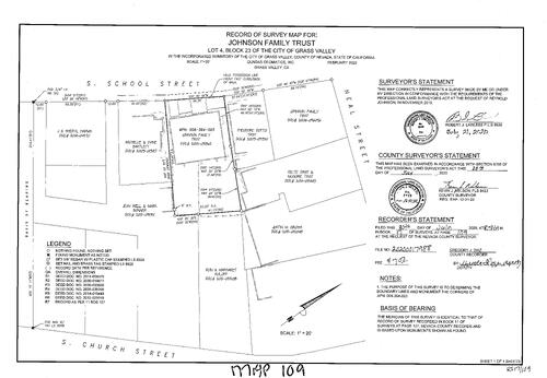
Record of Survey, Book 17, pg. 109, 2020
NC Recorders Map Survey 17-109:
NC Recorders Map Survey 17-109:
Johnson Family Trust. School Street, South. Neal Street. Church Street, South. Block 23, lot 4, G.V.. Harms, J. & Sheryl. Bartlett, Michelle & Diane. Bonner, Mark. Well, Jean. Roloff, Ron & Margaret. Gross, Justin... See More
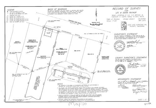
Record of Survey, Book 17, pg. 110, 2020
NC Recorders Map Survey 17-110:
Raynor, Lee & Diana. Donner Pass Road. Donner Pines Tract (Subdivision 1=84. North Delta Orchards LLC. Beale,
NC Recorders Map Survey 17-110:
Raynor, Lee & Diana. Donner Pass Road. Donner Pines Tract (Subdivision 1=84. North Delta Orchards LLC. Beale,

Record of Survey, Book 17, pg. 111, 2020
NC Recorders Map Survey 17-111-1:
Leslie, Donald & Katerine. River Street, West. Riverside Drive. Mill Street (Truckee). Bridge Street. River Street, East. Truckee River. C.P.R.R. cemter;ome. Hanley,. Gini,
NC Recorders Map Survey 17-111-1:
Leslie, Donald & Katerine. River Street, West. Riverside Drive. Mill Street (Truckee). Bridge Street. River Street, East. Truckee River. C.P.R.R. cemter;ome. Hanley,. Gini,
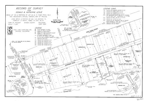
Record of Survey, Book 17, pg. 111, 2020
NC Recorders Map Survey 17-111-2:
Leslie, Donald & Katerine. River Street, West. Riverside Drive. Mill Street (Truckee). Bridge Street. River Street, East. Truckee River. C.P.R.R. cemter;ome. Hanley,. Gini,
NC Recorders Map Survey 17-111-2:
Leslie, Donald & Katerine. River Street, West. Riverside Drive. Mill Street (Truckee). Bridge Street. River Street, East. Truckee River. C.P.R.R. cemter;ome. Hanley,. Gini,

Record of Survey, Book 17, pg. 112, 2020
NC Recorders Map Survey 17-112:
Kingvale Property Owners & Water Users. Donner Pass Road. Brennan Avenue. Yuba River, South Fork. Rusty Lane. Nathan Lane. McKenzie, Mary. Winther, Kyle & Rebecca. Pritchard, Kevin
NC Recorders Map Survey 17-112:
Kingvale Property Owners & Water Users. Donner Pass Road. Brennan Avenue. Yuba River, South Fork. Rusty Lane. Nathan Lane. McKenzie, Mary. Winther, Kyle & Rebecca. Pritchard, Kevin
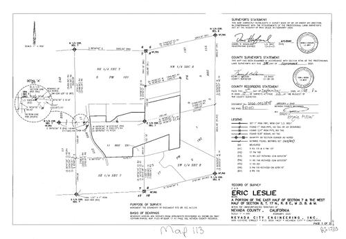
Record of Survey, Book 17, pg. 113, 2020
NC Recorders Map Survey 17-113-1:
Leslie, Eric. T17, R8, E 1/2 Sec. 7 & W 1/2 Sec. 8
NC Recorders Map Survey 17-113-1:
Leslie, Eric. T17, R8, E 1/2 Sec. 7 & W 1/2 Sec. 8
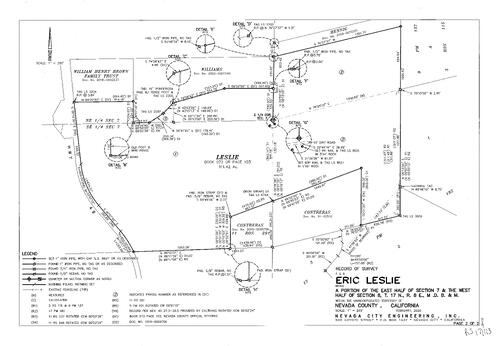
Record of Survey, Book 17, pg. 113, 2020
NC Recorders Map Survey 17-113-2:
Leslie, Eric. T17, R8, E 1/2 Sec. 7 & W 1/2 Sec. 8
NC Recorders Map Survey 17-113-2:
Leslie, Eric. T17, R8, E 1/2 Sec. 7 & W 1/2 Sec. 8

Record of Survey, Book 17, pg. 114, 2020
NC Recorders Map Survey 17-114:
Sridharan Arunachalam. Donner Way. Tahoe Drive. Vista Avenue. Ramamurthy,. Beardsley,. Chavez/Nunez
NC Recorders Map Survey 17-114:
Sridharan Arunachalam. Donner Way. Tahoe Drive. Vista Avenue. Ramamurthy,. Beardsley,. Chavez/Nunez
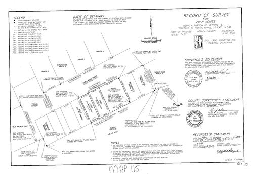
Record of Survey, Book 17, pg. 115, 2020
NC Recorders Map Survey 17-115:
Jones, Joan. River Street, South. T.D.P.U.D.. Ice Palace Lot. Sassarini,. Rich,
NC Recorders Map Survey 17-115:
Jones, Joan. River Street, South. T.D.P.U.D.. Ice Palace Lot. Sassarini,. Rich,
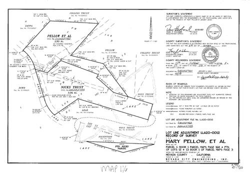
Record of Survey, Book 17, pg. 116, 2020
NC Recorders Map Survey 17-116:
Pellow, Mary et al. Zappa,. Collens rust. Nicks rust. Voss Trust. Dry Creek Lane
NC Recorders Map Survey 17-116:
Pellow, Mary et al. Zappa,. Collens rust. Nicks rust. Voss Trust. Dry Creek Lane

Survey Book 17, pg. 117, 2020
NC Recorders Map Survey 17-117:
Hastings-Hollebaugh Trust. Cedar View Road. McManus Trust. Nevada City Sugarloaf Properties, LLC
NC Recorders Map Survey 17-117:
Hastings-Hollebaugh Trust. Cedar View Road. McManus Trust. Nevada City Sugarloaf Properties, LLC

Survey Book 17, pg. 118, 2020
NC Recorders Map Survey 17-118:
Banner Mountain Lookout. T16, R9, SE 1/3 Sec. 16
NC Recorders Map Survey 17-118:
Banner Mountain Lookout. T16, R9, SE 1/3 Sec. 16

Survey Book 17, pg. 119, 2020
NC Recorders Map Survey 17-119:
Smith & Riley. State Highway 49. Riley Trust. Pekolee Drive
NC Recorders Map Survey 17-119:
Smith & Riley. State Highway 49. Riley Trust. Pekolee Drive

Survey Book 17, pg. 120, 2020
NC Recorders Map Survey 17-120:
Truckee Tahoe Lumber Co.. Donner Pass Road. Trout Creek Road. Church Street (Truckee). Roundhouse Way
NC Recorders Map Survey 17-120:
Truckee Tahoe Lumber Co.. Donner Pass Road. Trout Creek Road. Church Street (Truckee). Roundhouse Way
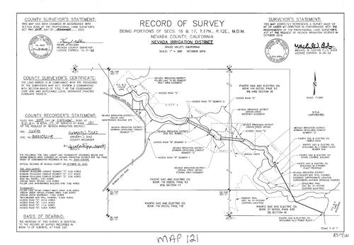
Survey Book 17, pg. 121, 2020
NC Recorders Map Survey 17-121-1:
NC Recorders Map Survey 17-121-1:
N.I.D. Survey. N.I.D. Fuller Lake. Bowman Lake Road. P.G. & E. Fuller Lake. N.I.D. Bowman-Spaulding Conduit. N.I.D. Zion Hill Tunnel. N.I.D. Jordan Creek Wasteway easement. N.I.D. Jordan Creek Siphon. P.G. & E... See More

Survey Book 17, pg. 121, 2020
NC Recorders Map Survey 17-121-2:
NC Recorders Map Survey 17-121-2:
N.I.D. Survey. N.I.D. Fuller Lake. Bowman Lake Road. P.G. & E. Fuller Lake. N.I.D. Bowman-Spaulding Conduit. N.I.D. Zion Hill Tunnel. N.I.D. Jordan Creek Wasteway easement. N.I.D. Jordan Creek Siphon. P.G. & E... See More
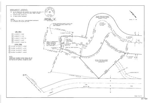
Survey Book 17, pg. 121, 2020
NC Recorders Map Survey 17-121-3:
NC Recorders Map Survey 17-121-3:
N.I.D. Survey. N.I.D. Fuller Lake. Bowman Lake Road. P.G. & E. Fuller Lake. N.I.D. Bowman-Spaulding Conduit. N.I.D. Zion Hill Tunnel. N.I.D. Jordan Creek Wasteway easement. N.I.D. Jordan Creek Siphon. P.G. & E... See More

Survey Book 17, pg. 121, 2020
NC Recorders Map Survey 17-121-4:
NC Recorders Map Survey 17-121-4:
N.I.D. Survey. N.I.D. Fuller Lake. Bowman Lake Road. P.G. & E. Fuller Lake. N.I.D. Bowman-Spaulding Conduit. N.I.D. Zion Hill Tunnel. N.I.D. Jordan Creek Wasteway easement. N.I.D. Jordan Creek Siphon. P.G. & E... See More

Survey Book 17, pg. 121, 2020
NC Recorders Map Survey 17-121-5:
NC Recorders Map Survey 17-121-5:
N.I.D. Survey. N.I.D. Fuller Lake. Bowman Lake Road. P.G. & E. Fuller Lake. N.I.D. Bowman-Spaulding Conduit. N.I.D. Zion Hill Tunnel. N.I.D. Jordan Creek Wasteway easement. N.I.D. Jordan Creek Siphon. P.G. & E... See More
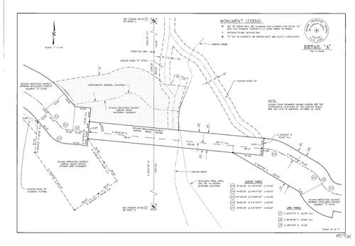
Survey Book 17, pg. 121, 2020
NC Recorders Map Survey 17-121-6:
NC Recorders Map Survey 17-121-6:
N.I.D. Survey. N.I.D. Fuller Lake. Bowman Lake Road. P.G. & E. Fuller Lake. N.I.D. Bowman-Spaulding Conduit. N.I.D. Zion Hill Tunnel. N.I.D. Jordan Creek Wasteway easement. N.I.D. Jordan Creek Siphon. P.G. & E... See More

Survey Book 17, pg. 121, 2020
NC Recorders Map Survey 17-121-7:
NC Recorders Map Survey 17-121-7:
N.I.D. Survey. N.I.D. Fuller Lake. Bowman Lake Road. P.G. & E. Fuller Lake. N.I.D. Bowman-Spaulding Conduit. N.I.D. Zion Hill Tunnel. N.I.D. Jordan Creek Wasteway easement. N.I.D. Jordan Creek Siphon. P.G. & E... See More

Survey Book 17, pg. 122, 2020
NC Recorders Map Survey 17-122-1:
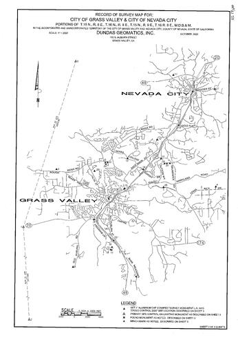
City of Grass Valley & Nevada City Survey. City of Nevada City
NC Recorders Map Survey 17-122-1:
City of Grass Valley & Nevada City Survey. City of Nevada City
Survey Book 17, pg. 122, 2020
NC Recorders Map Survey 17-122-2:
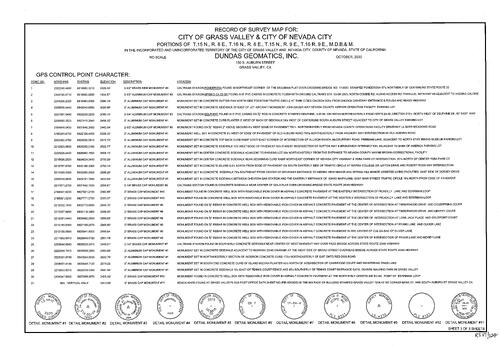
City of Grass Valley & Nevada City Survey. City of Nevada City
NC Recorders Map Survey 17-122-2:
City of Grass Valley & Nevada City Survey. City of Nevada City
Survey Book 17, pg. 122, 2020
NC Recorders Map Survey 17-122-3:
City of Grass Valley & Nevada City Survey. City of Nevada City
NC Recorders Map Survey 17-122-3:
City of Grass Valley & Nevada City Survey. City of Nevada City

Survey Book 17, pg. 123, 2020
NC Recorders Map Survey 17-123:
Del Ponte, Peter J. et al. Del Ponte, Peter Trust et al. T18, R18 Sec 22 S/w Q. Horton, David W.. Cassimus, Mark W. & Kay est. et al. Spencer, Herbert W. III, & Amy trustees
NC Recorders Map Survey 17-123:
Del Ponte, Peter J. et al. Del Ponte, Peter Trust et al. T18, R18 Sec 22 S/w Q. Horton, David W.. Cassimus, Mark W. & Kay est. et al. Spencer, Herbert W. III, & Amy trustees

Survey Book 17, pg. 125 (2021)
NC Recorders Map Survey 17-125:
Leary, Robert. Deadman's Flat. Treasure Bos 1 & 2. U.S.A. Unpatented
NC Recorders Map Survey 17-125:
Leary, Robert. Deadman's Flat. Treasure Bos 1 & 2. U.S.A. Unpatented
Survey Book 17, pg. 126 (2021)
NC Recorders Map Survey 17-126:
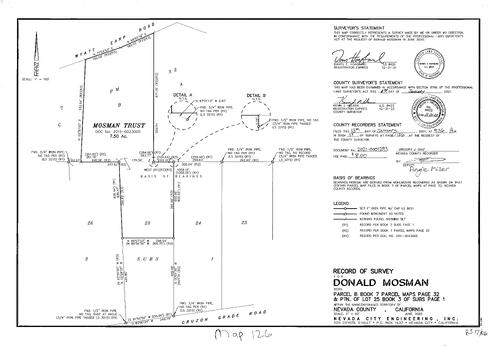
Mosman, Donald Survey. Mosman Trust. Wyatt Earp Road. Cruzon Grade Road
NC Recorders Map Survey 17-126:
Mosman, Donald Survey. Mosman Trust. Wyatt Earp Road. Cruzon Grade Road

Survey Book 17, pg. 127 (2021)
NC Recorders Map Survey 17-127-1:
NC Recorders Map Survey 17-127-1:
Nevada City Annexation Survey. Gold Flat Road. Sneath Clay Road. New Mohawk Road. Pinewoods Road. Angelini Trust. Beardsley,. Walker,. Dunn Trust. Bleau Trust. Dillon,. Grass Valley Highway, Lower. Banner Lava Cap... See More

Survey Book 17, pg. 127 (2021)
NC Recorders Map Survey 17-127-2:
NC Recorders Map Survey 17-127-2:
Nevada City Annexation Survey. Gold Flat Road. Sneath Clay Road. New Mohawk Road. Pinewoods Road. Angelini Trust. Beardsley,. Walker,. Dunn Trust. Bleau Trust. Dillon,. Grass Valley Highway, Lower. Banner Lava Cap... See More

Survey Book 17, pg. 127 (2021)
NC Recorders Map Survey 17-127-3:
NC Recorders Map Survey 17-127-3:
Nevada City Annexation Survey. Gold Flat Road. Sneath Clay Road. New Mohawk Road. Pinewoods Road. Angelini Trust. Beardsley,. Walker,. Dunn Trust. Bleau Trust. Dillon,. Grass Valley Highway, Lower. Banner Lava Cap... See More

Survey Book 17, pg. 127 (2021)
NC Recorders Map Survey 17-127-4:
NC Recorders Map Survey 17-127-4:
Nevada City Annexation Survey. Gold Flat Road. Sneath Clay Road. New Mohawk Road. Pinewoods Road. Angelini Trust. Beardsley,. Walker,. Dunn Trust. Bleau Trust. Dillon,. Grass Valley Highway, Lower. Banner Lava Cap... See More
Survey Book 17, pg. 128 (2021)
NC Recorders Map Survey 17-128:
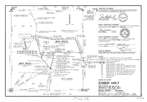
Holt, Karen Survey. Holt Trust. Holt & Harlan. Brewer Trust
NC Recorders Map Survey 17-128:
Holt, Karen Survey. Holt Trust. Holt & Harlan. Brewer Trust

Survey Book 17, pg. 132 (2021)
NC Recorders Map Survey 17-132:
Segers, Bill Survey. Mayflower Drive. Mayflower Estates, lot 46
NC Recorders Map Survey 17-132:
Segers, Bill Survey. Mayflower Drive. Mayflower Estates, lot 46

Survey Book 17, pg. 133 (2021)
NC Recorders Map Survey 17-133:
Stockdale, Gabriel Survey. Shannon Way. Maddix & Kindrd Trust. Coyle. Stockland Trust
NC Recorders Map Survey 17-133:
Stockdale, Gabriel Survey. Shannon Way. Maddix & Kindrd Trust. Coyle. Stockland Trust
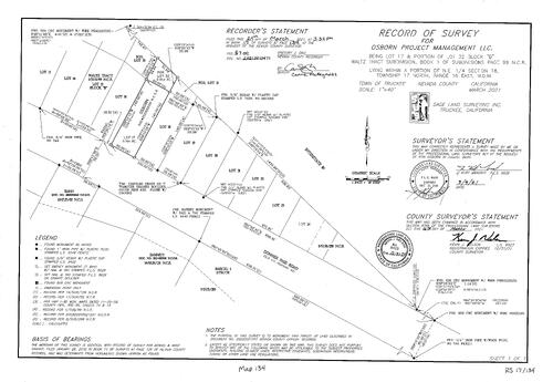
Survey Book 17, pg. 134 (2021)
NC Recorders Map Survey 17-134:
Osborn Project Management LLC Survey. Donner Pass Road. Interstste 80
NC Recorders Map Survey 17-134:
Osborn Project Management LLC Survey. Donner Pass Road. Interstste 80

Survey Book 17, pg. 135 (2021)
NC Recorders Map Survey 17-135-1:
NC Recorders Map Survey 17-135-1:
Alta Hill Annexations to N.I.D. Survey. Squirrel Creek Road. Rough & Ready Highway. Grass Valley School District. Alta Street. Alta Vista Drive. Alta Vista Avenue. Bragg Avenue. Grass Valley Townsite Line. Idaho... See More
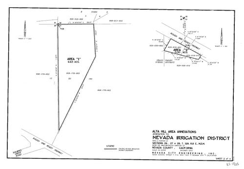
Survey Book 17, pg. 135 (2021)
NC Recorders Map Survey 17-135-2:
NC Recorders Map Survey 17-135-2:
Alta Hill Annexations to N.I.D. Survey. Squirrel Creek Road. Rough & Ready Highway. Grass Valley School District. Alta Street. Alta Vista Drive. Alta Vista Avenue. Bragg Avenue. Grass Valley Townsite Line. Idaho... See More
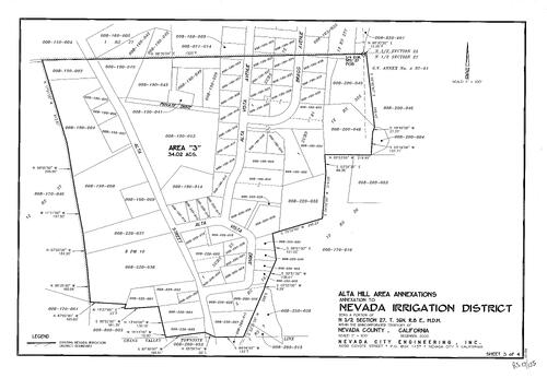
Survey Book 17, pg. 135 (2021)
NC Recorders Map Survey 17-135-3:
NC Recorders Map Survey 17-135-3:
Alta Hill Annexations to N.I.D. Survey. Squirrel Creek Road. Rough & Ready Highway. Grass Valley School District. Alta Street. Alta Vista Drive. Alta Vista Avenue. Bragg Avenue. Grass Valley Townsite Line. Idaho... See More

Survey Book 17, pg. 135 (2021)
NC Recorders Map Survey 17-135-4:
NC Recorders Map Survey 17-135-4:
Alta Hill Annexations to N.I.D. Survey. Squirrel Creek Road. Rough & Ready Highway. Grass Valley School District. Alta Street. Alta Vista Drive. Alta Vista Avenue. Bragg Avenue. Grass Valley Townsite Line. Idaho... See More

Survey Book 17, pg. 136 (2021)
NC Recorders Map Survey 17-136:
Socha, Nicholas Survey. Richards Boulevard. Sierra Drive. Biltz Tract Block A Lot 5
NC Recorders Map Survey 17-136:
Socha, Nicholas Survey. Richards Boulevard. Sierra Drive. Biltz Tract Block A Lot 5

Survey Book 17, pg. 137 (2021)
NC Recorders Map Survey 17-137:
Williams, Ulysses Survey. Wolf Mountain Conference Association. American Towers Inc.
NC Recorders Map Survey 17-137:
Williams, Ulysses Survey. Wolf Mountain Conference Association. American Towers Inc.
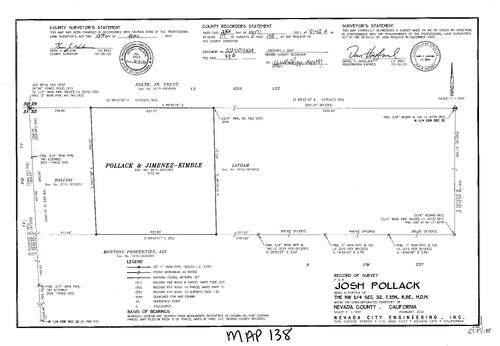
Survey Book 17, pg. 138 (2021)
NC Recorders Map Survey 17-138:
Pollack, Josh Survey. Pollock & Jiminez. Kimble,
NC Recorders Map Survey 17-138:
Pollack, Josh Survey. Pollock & Jiminez. Kimble,
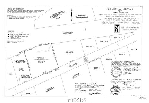
Survey Book 17, pg. 139 (2021)
NC Recorders Map Survey 17-139:
Metzinger, Craig Survey. Pioneer Drive. Reed Avenue
NC Recorders Map Survey 17-139:
Metzinger, Craig Survey. Pioneer Drive. Reed Avenue
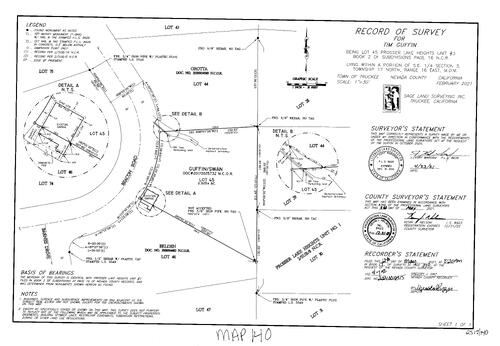
Survey Book 17, pg. 140 (2021)
NC Recorders Map Survey 17-140:
Griffin, Tim Survey. Beason Road. Barnes Drive. Griffin/Swan. Prosser Lake Heights Unit I
NC Recorders Map Survey 17-140:
Griffin, Tim Survey. Beason Road. Barnes Drive. Griffin/Swan. Prosser Lake Heights Unit I

Survey Book 17, pg. 141 (2021)
NC Recorders Map Survey 17-141:
Marshall, Brad Survey. Coburn Drive. China Camp Road
NC Recorders Map Survey 17-141:
Marshall, Brad Survey. Coburn Drive. China Camp Road

Survey Book 17, pg. 142 (2021)
NC Recorders Map Survey 17-142-1:
Kalt & Savage Record of Survey. Gaston Ridge Road. Ancho Mine Road
NC Recorders Map Survey 17-142-1:
Kalt & Savage Record of Survey. Gaston Ridge Road. Ancho Mine Road

Survey Book 17, pg. 142 (2021)
NC Recorders Map Survey 17-142-2:
Kalt & Savage Record of Survey. Gaston Ridge Road. Ancho Mine Road
NC Recorders Map Survey 17-142-2:
Kalt & Savage Record of Survey. Gaston Ridge Road. Ancho Mine Road

Survey Book 17, pg. 142 (2021)
NC Recorders Map Survey 17-142-3:
Kalt & Savage Record of Survey. Gaston Ridge Road. Ancho Mine Road
NC Recorders Map Survey 17-142-3:
Kalt & Savage Record of Survey. Gaston Ridge Road. Ancho Mine Road
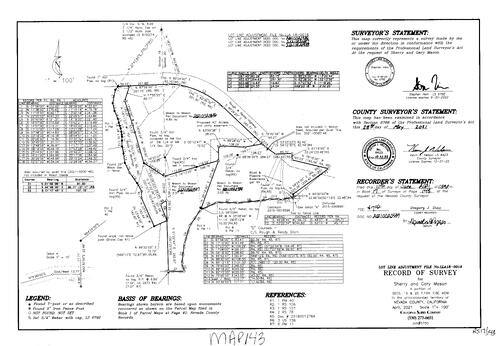
Survey Book 17, pg. 143 (2021)
NC Recorders Map Survey 17-143:
Mason, Sherry & Gary record of survey. Rough & Ready Highway
NC Recorders Map Survey 17-143:
Mason, Sherry & Gary record of survey. Rough & Ready Highway

Survey Book 17, pg. 144 (2021)
NC Recorders Map Survey 17-144:
Mackenzie, Shean Record of Survey. Long Street. Casey Trust. Babcock Trust. LaBerge Family Trust. StegerTrust. Kendrick,. Lewis,
NC Recorders Map Survey 17-144:
Mackenzie, Shean Record of Survey. Long Street. Casey Trust. Babcock Trust. LaBerge Family Trust. StegerTrust. Kendrick,. Lewis,
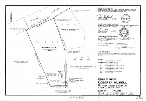
Survey Book 17, pg. 145 (2021)
NC Recorders Map Survey 17-145:
Morrill, Roberta Record of Survey. Grove St.. Borgan, Bruce R. Trust. Rusty-Julie Trust. NIA Community Investments Inc.. Morrill Turst. City of Nevada City
NC Recorders Map Survey 17-145:
Morrill, Roberta Record of Survey. Grove St.. Borgan, Bruce R. Trust. Rusty-Julie Trust. NIA Community Investments Inc.. Morrill Turst. City of Nevada City

Survey Book 17, pg. 146 (2021)
NC Recorders Map Survey 17-146:
Montana, Joseph Record of Survey. Orbit Drive. Martinez & Miccio
NC Recorders Map Survey 17-146:
Montana, Joseph Record of Survey. Orbit Drive. Martinez & Miccio
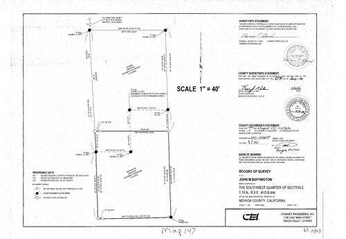
Survey Book 17, pg. 147 (2021)
NC Recorders Map Survey 17-147:
Buffington, John M. Record of Survey. Silveria,
NC Recorders Map Survey 17-147:
Buffington, John M. Record of Survey. Silveria,
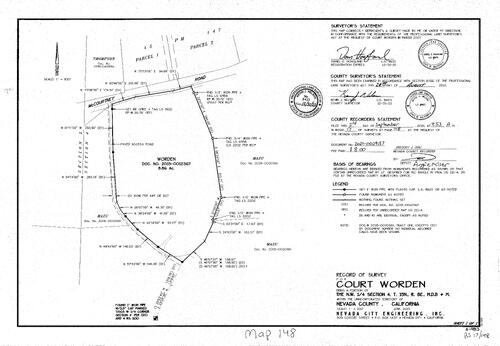
Survey Book 17, pg. 148 (2021)
NC Recorders Map Survey 17-148:
Worden, Court Record of Survey. McCourtney Road. Mazu,
NC Recorders Map Survey 17-148:
Worden, Court Record of Survey. McCourtney Road. Mazu,

Survey Book 17, pg. 149 (2021)
NC Recorders Map Survey 17-149:
Smith/Brown Lot Line Adjustment Record of Survey. Bridge Street. River Street, West. River Street, East. Truckee River. Truckee River Front West Townsite. Truckee River Front East Townsite. Bender, Durant & Besio
NC Recorders Map Survey 17-149:
Smith/Brown Lot Line Adjustment Record of Survey. Bridge Street. River Street, West. River Street, East. Truckee River. Truckee River Front West Townsite. Truckee River Front East Townsite. Bender, Durant & Besio

Survey Book 17, pg. 150 (2021)
NC Recorders Map Survey 17-150:
Gwerder, Walt lot line adjustment Record of Survey. Columbine Road. Shore Pine Road
NC Recorders Map Survey 17-150:
Gwerder, Walt lot line adjustment Record of Survey. Columbine Road. Shore Pine Road
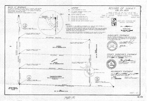
Record of Survey, Book 17, pg. 151, 2021
NC Recorders Map Survey 17-151:
Drew, Jen. Panziera,. Selden,. Swanson/Drew. Drew, Swanson
NC Recorders Map Survey 17-151:
Drew, Jen. Panziera,. Selden,. Swanson/Drew. Drew, Swanson

Record of Survey, Book 17, pg. 152, 2021
NC Recorders Map Survey 17-152:
Ingels, Dot. South Shore Drive. Donner Woods Unit I. Pine Street (Truckee). West Shore Tract. Donner Lake Properties H.O.A.. Pine Street, Truckee. Fir Street, Truckee. South Shore Drive, Truckee. Donner Lake H.O.A.
NC Recorders Map Survey 17-152:
Ingels, Dot. South Shore Drive. Donner Woods Unit I. Pine Street (Truckee). West Shore Tract. Donner Lake Properties H.O.A.. Pine Street, Truckee. Fir Street, Truckee. South Shore Drive, Truckee. Donner Lake H.O.A.

Record of Survey Book 17, pg. 153, 2021
NC Recorders Map Survey 17-153:
NC Recorders Map Survey 17-153:
Nevada City. Mark, Barbara. Conley Street. Orchard Street. Oregon Ravine. Kateria Trust. Mark Family Trust. Dotson. Sealander Trust. Dykstra. Block 27 as shown on 1869 Bradley. Dystra. Mack Family Trust. Katera... See More

Record of Survey Book 17, pg. 154, 2021
NC Recorders Map Survey 17-154:
Nigh & Strach Trust. Willow Valley Road. Wright. Beck Trust. Tobey. T16, R9, NE 1/4 Sec. 7
NC Recorders Map Survey 17-154:
Nigh & Strach Trust. Willow Valley Road. Wright. Beck Trust. Tobey. T16, R9, NE 1/4 Sec. 7

Record of Survey Book 17, pg. 155, 2021
NC Recorders Map Survey 17-155:
Coffman, Rebecca. City of Nevada City. Pine Street, Nevada City. York Street. Commercial Street. Selaya & Crouch. 4 Corners LLC. Adams III & Lauters. Commercial Street, N.C.. 4 Corners, LLC. Record of Survey 15-156
NC Recorders Map Survey 17-155:
Coffman, Rebecca. City of Nevada City. Pine Street, Nevada City. York Street. Commercial Street. Selaya & Crouch. 4 Corners LLC. Adams III & Lauters. Commercial Street, N.C.. 4 Corners, LLC. Record of Survey 15-156
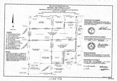
Record of Survey Book 17, pg. 156, 2021
NC Recorders Map Survey 17-156:
NC Recorders Map Survey 17-156:
Hyatt, Michael & Patricia. Hyatt Revocable Trust. Evins, Robert. Gold Country Ranch Inc.. Iron Mountain Properties Inc.. Ballantree Lane. Iron Mountain Properties, LLC. Evans, Robert. Parcel Map 4-44. Parcel Map... See More
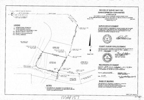
Record of Survey Book 17, pg. 157, 2021
NC Recorders Map Survey 17-157:
Klondike Flat Road. Cevartes, Juan Espinoza. Chambers, Sarah. T18, R16,SW 1/4 Sec. 220. Cervantes, Juan Espinoza
NC Recorders Map Survey 17-157:
Klondike Flat Road. Cevartes, Juan Espinoza. Chambers, Sarah. T18, R16,SW 1/4 Sec. 220. Cervantes, Juan Espinoza

Record of Survey Book 17, pg. 158, 2021
NC Recorders Map Survey 17-158:
Kean/Africa. Keiser Avenue. High Street. McPhetres Street. Spring Street (Truckee). McGlashan's addition Block "D". Waggoners Official map of Truckee, Block G lot 4&5
NC Recorders Map Survey 17-158:
Kean/Africa. Keiser Avenue. High Street. McPhetres Street. Spring Street (Truckee). McGlashan's addition Block "D". Waggoners Official map of Truckee, Block G lot 4&5
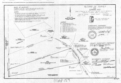
Record of Survey Book 17, pg. 159, 2021
NC Recorders Map Survey 17-159:
Hsu, Edward. Euer Valley Road. Trout Creek. Tahoe Donner Unit 8. Pstephan Investments. Gowdin,. Mossar,. Franklin,. Berrysea,. Tahoe Donner Unit 8, Parcel H
NC Recorders Map Survey 17-159:
Hsu, Edward. Euer Valley Road. Trout Creek. Tahoe Donner Unit 8. Pstephan Investments. Gowdin,. Mossar,. Franklin,. Berrysea,. Tahoe Donner Unit 8, Parcel H
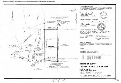
Record of Survey Book 17, pg. 160, 2021
NC Recorders Map Survey 17-160:
Cracas, John Paul. Pasquale Road. N.I.D.. Hickey,. Wisniewski,. Phillips,. Koll,. Thereault Trust. T16, R9, portion of SE 1/4 Sec. 9
NC Recorders Map Survey 17-160:
Cracas, John Paul. Pasquale Road. N.I.D.. Hickey,. Wisniewski,. Phillips,. Koll,. Thereault Trust. T16, R9, portion of SE 1/4 Sec. 9

Record of Survey Book 17, pg. 161, 2021
NC Recorders Map Survey 17-161:
Stanford, Steven & Tresa. Country Lane. Stanford Family Trust. P.M. 8-244. N.I.D.. P.M. 4-55
NC Recorders Map Survey 17-161:
Stanford, Steven & Tresa. Country Lane. Stanford Family Trust. P.M. 8-244. N.I.D.. P.M. 4-55

Record of Survey Book 17, pg162
NC Recorders Map Survey 17-162:
Gates, Jim. Mora, Lily Marie. Bitney Springs Road. Newtown Canal. Miller Trust. Parcel Map 10-164. P. M. 18-346. Record of Survey 11-211
NC Recorders Map Survey 17-162:
Gates, Jim. Mora, Lily Marie. Bitney Springs Road. Newtown Canal. Miller Trust. Parcel Map 10-164. P. M. 18-346. Record of Survey 11-211

Record of Survey Book 17, pg. 163 (2022)
NC Recorders Map Survey 17-163:
Nevius, Toller. Pleasant Valley Road. Parcel Map 9-23`
NC Recorders Map Survey 17-163:
Nevius, Toller. Pleasant Valley Road. Parcel Map 9-23`

Record of Survey Book 17, pg. 164 (2022)
NC Recorders Map Survey 17-164:
King-Holliday Parcel. King, Shaun. Holliday, Maiya. Alder Drive. Comstock Drive. Alder Creek Middle School. Boca Sierra Estates. Cheyanne Way. Prosser Lake Heights Unit I. Dolan. Nachbaur. Truckee Donner Land Trust
NC Recorders Map Survey 17-164:
King-Holliday Parcel. King, Shaun. Holliday, Maiya. Alder Drive. Comstock Drive. Alder Creek Middle School. Boca Sierra Estates. Cheyanne Way. Prosser Lake Heights Unit I. Dolan. Nachbaur. Truckee Donner Land Trust

Record of Survey Book 17, pg. 165 (2022)
NC Recorders Map Survey 17-165:
Vanderford, Hugh. Misty Winds Lane. Dog Bar Road. Briscoe & Dieb. Geddings Family Turst. Williams & Fisher. Brockmire Family Trust. Lauer. Parcel Map 20-38
NC Recorders Map Survey 17-165:
Vanderford, Hugh. Misty Winds Lane. Dog Bar Road. Briscoe & Dieb. Geddings Family Turst. Williams & Fisher. Brockmire Family Trust. Lauer. Parcel Map 20-38

Record of Survey Book 17, pg. 166 (2022)
NC Recorders Map Survey 17-166:
Roberta E. Smith Trust. State Highway 20/49. Idaho Maryland Road. Railroad Avenue
NC Recorders Map Survey 17-166:
Roberta E. Smith Trust. State Highway 20/49. Idaho Maryland Road. Railroad Avenue

Record of Survey Book 17, pg. 166 (2022)
NC Recorders Map Survey 17-167:
Sierra Foothills Petroleum LLC. Kennerley, Anna. I-80 Underpass Access. Keiser Avenue. High Street. Townsite of Truckee. McGlashan's Addition. Sharp. Cockrum
NC Recorders Map Survey 17-167:
Sierra Foothills Petroleum LLC. Kennerley, Anna. I-80 Underpass Access. Keiser Avenue. High Street. Townsite of Truckee. McGlashan's Addition. Sharp. Cockrum

Record of Survey Book 17, pg. 168 (2022)
NC Recorders Map Survey 17-168:
U.S.A. Public Domain. Juniper Hill. Parcel Map 05-006
NC Recorders Map Survey 17-168:
U.S.A. Public Domain. Juniper Hill. Parcel Map 05-006
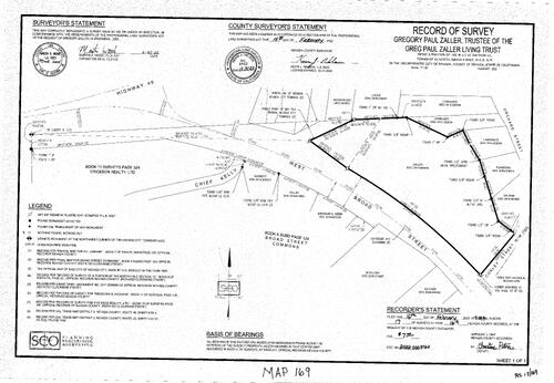
Record of Survey Book 17, pg. 169 (2022)
NC Recorders Map Survey 17-169:
Zaller, Gregory Paul Trustee of Living Trust. State Highway 49. Broad Street, West. Chief Kelly Drive. Orchard Street. Nevada City Townsite (Original North Line). Erickson Realty LTD. Broad Street Commons
NC Recorders Map Survey 17-169:
Zaller, Gregory Paul Trustee of Living Trust. State Highway 49. Broad Street, West. Chief Kelly Drive. Orchard Street. Nevada City Townsite (Original North Line). Erickson Realty LTD. Broad Street Commons

Record of Survey Book 17, pg. 170 (2022)
NC Recorders Map Survey 17-170:
Dactler, Don & Cheryl. Gracie Road. Joe Day Ranch Road. Banner Mountain Trail. Walsh. U.S.A. unpatented. St. Francis Woods Estate
NC Recorders Map Survey 17-170:
Dactler, Don & Cheryl. Gracie Road. Joe Day Ranch Road. Banner Mountain Trail. Walsh. U.S.A. unpatented. St. Francis Woods Estate
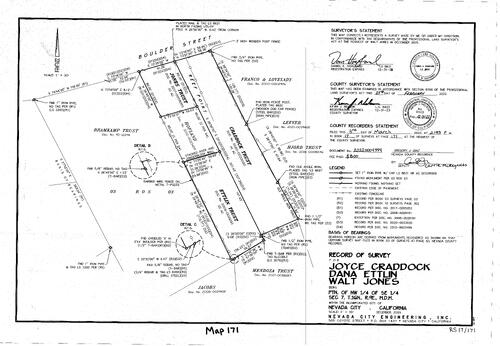
Record of Survey Book 17, pg. 171 (2022)
NC Recorders Map Survey 17-171:
Chaddock, Joyce. Ettlin, Dana. Jones, Walt. Boulder Street. Reef Point. Bramkamp Trust. Record of Survey 03-03. Craddoct Trust. Jones Trust. Eddlin Trust
NC Recorders Map Survey 17-171:
Chaddock, Joyce. Ettlin, Dana. Jones, Walt. Boulder Street. Reef Point. Bramkamp Trust. Record of Survey 03-03. Craddoct Trust. Jones Trust. Eddlin Trust

Record of Survey Book 17, pg. 172 (2022)
NC Recorders Map Survey 17-172:
Williams, Dave. Alta Street. Alta Hill Mine. Krueger & Davis Trust. Henoi & Nicolai Trust. Hamilton
NC Recorders Map Survey 17-172:
Williams, Dave. Alta Street. Alta Hill Mine. Krueger & Davis Trust. Henoi & Nicolai Trust. Hamilton
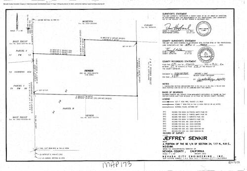
Record of Survey Book 17, pg. 173 (2022)
NC Recorders Map Survey 17-173:
Senkir, Jeffrey. Parcel Map 11-12. Parcel Map 21-30. Parcel Map 4-83. McKenna. Cleary. J. & T. Tucker Trust. Bost Trust
NC Recorders Map Survey 17-173:
Senkir, Jeffrey. Parcel Map 11-12. Parcel Map 21-30. Parcel Map 4-83. McKenna. Cleary. J. & T. Tucker Trust. Bost Trust
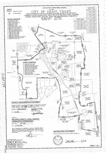
Record of Survey Book 17, pg. 174 (2022)
NC Recorders Map Survey 17-174:
NC Recorders Map Survey 17-174:
City of Grass Valley Annexation, Southern Sphere. LaBarr Meadows Commercial Condos. State of... See More

Record of Survey Book 17, pg. 175 (2022)
NC Recorders Map Survey 17-175:
Montez Avenue. Poplar Lane. Red Fir Drive. Flanagan, Carp;
NC Recorders Map Survey 17-175:
Montez Avenue. Poplar Lane. Red Fir Drive. Flanagan, Carp;
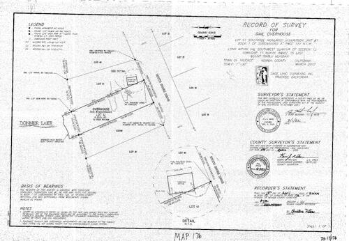
Record of Survey Book 17, pg. 176 (2022)
NC Recorders Map Survey 17-176:
Overhouse, Gail. South Shore Drive. Donner Lake
NC Recorders Map Survey 17-176:
Overhouse, Gail. South Shore Drive. Donner Lake
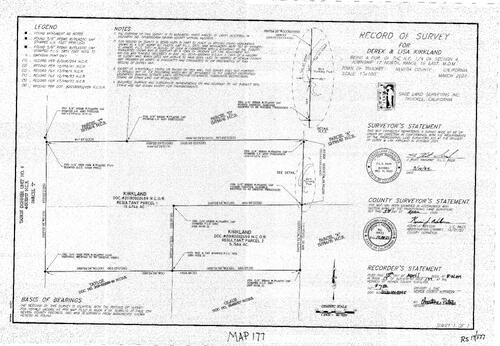
Record of Survey Book 17, pg. 177 (2022)
NC Recorders Map Survey 17-177:
Derek & Lisa Kirkland. Tahoe Donner Unit #9
NC Recorders Map Survey 17-177:
Derek & Lisa Kirkland. Tahoe Donner Unit #9
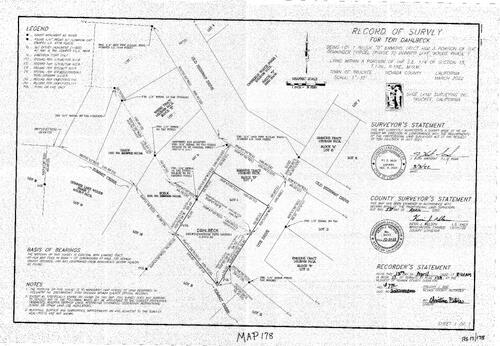
Record of Survey Book 17, pg. 178 (2022)
NC Recorders Map Survey 17-178:
Dahlbeck, Teri. Old Highway Drive. Emmons Tract. Weeks Tract. Nason,. Donner Lake Woods Phase 2. Baelk,. Ute Drive
NC Recorders Map Survey 17-178:
Dahlbeck, Teri. Old Highway Drive. Emmons Tract. Weeks Tract. Nason,. Donner Lake Woods Phase 2. Baelk,. Ute Drive
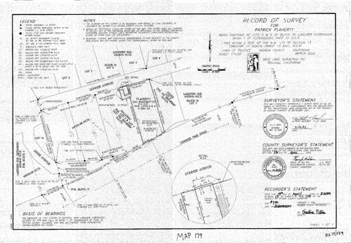
Record of Survey Book 17, pg. 179 (2022)
NC Recorders Map Survey 17-179:
Flaherty, Patrick. Donner Avenue. Lakeview Subdivision. Cooke,. Galloway,. James Avenue. Donner Pass Road
NC Recorders Map Survey 17-179:
Flaherty, Patrick. Donner Avenue. Lakeview Subdivision. Cooke,. Galloway,. James Avenue. Donner Pass Road

Record of Survey Book 17, pg. 180 (2022)
NC Recorders Map Survey 17-180:
Shields, Thomas & Louise. Donner Pass Road. Donner Lakeside Landing Home Owers Assoc.. McAmis,. Moore,
NC Recorders Map Survey 17-180:
Shields, Thomas & Louise. Donner Pass Road. Donner Lakeside Landing Home Owers Assoc.. McAmis,. Moore,
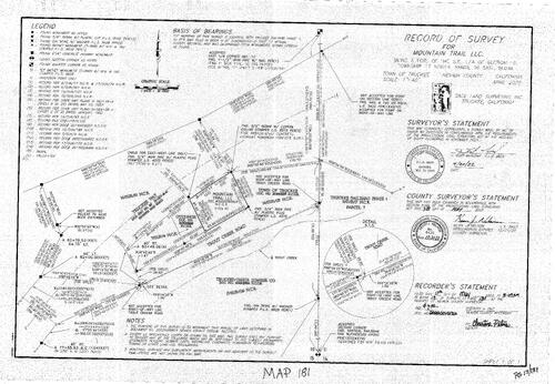
Record of Survey Book 17, pg. 181 (2022)
NC Recorders Map Survey 17-181:
Truckee Way. Mountain Trail LLC. Truckee Railyard Phase 1. Truckee-Tahoe Lumber Co.. Trout Creek Road. Truckee, town of. O'Connor
NC Recorders Map Survey 17-181:
Truckee Way. Mountain Trail LLC. Truckee Railyard Phase 1. Truckee-Tahoe Lumber Co.. Trout Creek Road. Truckee, town of. O'Connor

Record of Survey Book 17, pg. 182 (2022)
NC Recorders Map Survey 17-182:
Board of Professional Engineers,Surveyors, Geologi. Wolf Creek. Wolf Family Trust. Shady Brook Drive. Tracy Drive
NC Recorders Map Survey 17-182:
Board of Professional Engineers,Surveyors, Geologi. Wolf Creek. Wolf Family Trust. Shady Brook Drive. Tracy Drive

Record of Survey Book 17, pg. 183 (2022)
NC Recorders Map Survey 17-183:
Ravani, Charlene. Derick Family Trust. Koenig,. Schroeder Way. McKercher,. Blue Jay Court. Kramer,. Hodges Dodson. Jenness,. Guzman,
NC Recorders Map Survey 17-183:
Ravani, Charlene. Derick Family Trust. Koenig,. Schroeder Way. McKercher,. Blue Jay Court. Kramer,. Hodges Dodson. Jenness,. Guzman,
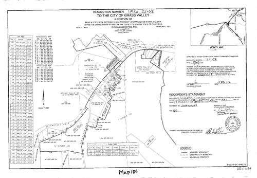
Record of survey Book 17, pg. 184 (2022)
NC Recorders Map Survey 17-184-1:
McCourtney Road. Grass Valley City Resolution #LAFCO 22-07. Grass Valley Annexation #65. Grass Valley Annexation #56. Grass Valley Annexation #70. Grass Valley Annexation #25. Brighton St.. Grass Valley City Limits
NC Recorders Map Survey 17-184-1:
McCourtney Road. Grass Valley City Resolution #LAFCO 22-07. Grass Valley Annexation #65. Grass Valley Annexation #56. Grass Valley Annexation #70. Grass Valley Annexation #25. Brighton St.. Grass Valley City Limits

Record of survey Book 17, pg. 184 (2022)
NC Recorders Map Survey 17-184-2:
McCourtney Road. Grass Valley City Resolution #LAFCO 22-07. Grass Valley Annexation #65. Grass Valley Annexation #56. Grass Valley Annexation #70. Grass Valley Annexation #25. Brighton St.. Grass Valley City Limits
NC Recorders Map Survey 17-184-2:
McCourtney Road. Grass Valley City Resolution #LAFCO 22-07. Grass Valley Annexation #65. Grass Valley Annexation #56. Grass Valley Annexation #70. Grass Valley Annexation #25. Brighton St.. Grass Valley City Limits

Record of Survey Book 17, pg. 185 (2022)
NC Recorders Map Survey 17-185:
Penn Valley Zone of Benefit N.Co.SanitationDist.1. Horton Valley Estates Subdivision. Horton Street. Baker,
NC Recorders Map Survey 17-185:
Penn Valley Zone of Benefit N.Co.SanitationDist.1. Horton Valley Estates Subdivision. Horton Street. Baker,

Record of survey Book 17, pg. 186 (2022)
NC Recorders Map Survey 17-186:
Fraiman, Daniel. Actinolite Way. No Other Way. Alder Drive. Crossen & Jensen
NC Recorders Map Survey 17-186:
Fraiman, Daniel. Actinolite Way. No Other Way. Alder Drive. Crossen & Jensen

Record of Survey Book 17, pg. 187 (2022)
NC Recorders Map Survey 17-187:
Travers,. Lakewood Lane. Bowden,. Miller,. Sward,. Dobbins,. Kull,. Rosenberger,
NC Recorders Map Survey 17-187:
Travers,. Lakewood Lane. Bowden,. Miller,. Sward,. Dobbins,. Kull,. Rosenberger,

Record of Survey Book 17, pg. 188 (2022)
NC Recorders Map Survey 17-188:
Peterson, Thomas. Cheryl Court. Hyde, Cynthea A.. Wolf Creek. State Highway 49. Kayros LLC. Joiner Limited Partnership. Emerson Trust. Schultz Trust. Searle Trust
NC Recorders Map Survey 17-188:
Peterson, Thomas. Cheryl Court. Hyde, Cynthea A.. Wolf Creek. State Highway 49. Kayros LLC. Joiner Limited Partnership. Emerson Trust. Schultz Trust. Searle Trust
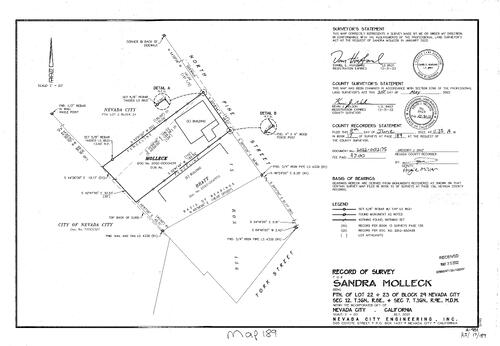
Record of Survey Book 17, pg. 189 (2022)
NC Recorders Map Survey 17-189:
Molleck, Sandra. Pine Street, North. Bratt,. York Street. Nevada City, City of
NC Recorders Map Survey 17-189:
Molleck, Sandra. Pine Street, North. Bratt,. York Street. Nevada City, City of
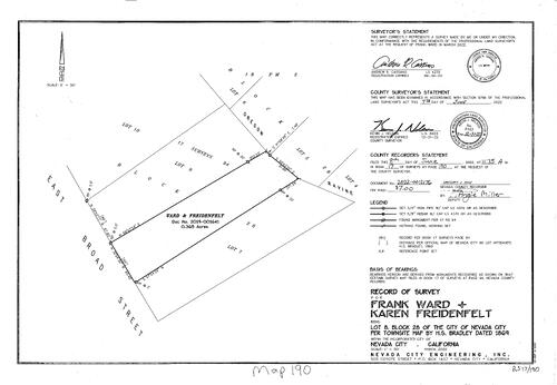
Record of Survey Book 17, pg. 190 (2022)
NC Recorders Map Survey 17-190:
Ward, Frank. Freidenfelt, Karen. Oregon Ravine. Broad Street, East
NC Recorders Map Survey 17-190:
Ward, Frank. Freidenfelt, Karen. Oregon Ravine. Broad Street, East
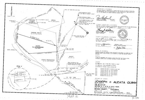
Record of survey Book 17, pg. 191 (2022)
NC Recorders Map Survey 17-191:
Quinn, Joseph & Aleata. Lake Angela Drive. Donner Ski Ranch Road. Gooch Properties. FDBLK Trust. Donner Summit Tramway. Owens,
NC Recorders Map Survey 17-191:
Quinn, Joseph & Aleata. Lake Angela Drive. Donner Ski Ranch Road. Gooch Properties. FDBLK Trust. Donner Summit Tramway. Owens,
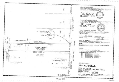
Record of Survey Book 17, pg. 192 (2022)
NC Recorders Map Survey 17-192:
Russell, Ian. Edgewood Drive. Rusell & Gehrts. Odin Trust. Colfax Road, Lower
NC Recorders Map Survey 17-192:
Russell, Ian. Edgewood Drive. Rusell & Gehrts. Odin Trust. Colfax Road, Lower

Record of Survey Book 17, pg. 193 (2022)
NC Recorders Map Survey 17-193:
Earhart, Martha. Valley Drive. Koster Trust. Squirrel Creek. rested,. Stowe Trust. Thomas,
NC Recorders Map Survey 17-193:
Earhart, Martha. Valley Drive. Koster Trust. Squirrel Creek. rested,. Stowe Trust. Thomas,

Record of Survey Book 17, pg. 194 (2022)
NC Recorders Map Survey 17-194:
Henry, Mark L.. Mt. Olive Road. Mountain Lion Road. Chicago Park School District. Traskey, David G. Trust. Skachelyas, Jena & Igor
NC Recorders Map Survey 17-194:
Henry, Mark L.. Mt. Olive Road. Mountain Lion Road. Chicago Park School District. Traskey, David G. Trust. Skachelyas, Jena & Igor
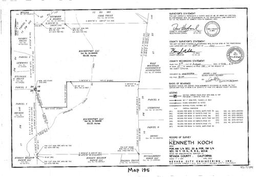
Record of Survey book 17, pg. 195 (2022)
NC Recorders Map Survey 17-195:
NC Recorders Map Survey 17-195:
Koch, Kenneth. Wolf Mountain Conference Association. Stebenne,. Zenore,. Huckleberry Ridge LLC. Holden Trust. Hidden Meadow Ranch LLC. Kochdvpmt LLC. Beeber,. Ettinger Trust. Vaskes Trust. Kenmore & Diamos. Cook... See More

Record of Survey Book 17, pg. 196 (2022)
NC Recorders Map Survey 17-196:
Haines & Glover. Bitney Springs Road. Pine Hollow road. Molin Family Trust. Albert Leon Sr. Revocable Trust. Costello,. Sherry Trust
NC Recorders Map Survey 17-196:
Haines & Glover. Bitney Springs Road. Pine Hollow road. Molin Family Trust. Albert Leon Sr. Revocable Trust. Costello,. Sherry Trust
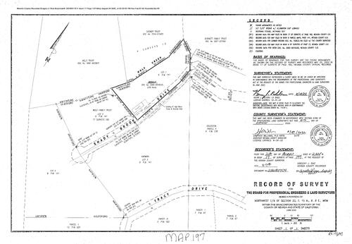
Record of Survey Book 17, pg. 197 (2022)
NC Recorders Map Survey 17-197:
Board of Professional Engineers & Land Sruveyors. Tracy Drive. Shady Brook Drive. Wolf Creek. Wolf Family Trust. Mills Trust. Cosner Trust. Burnett Family Trust. Goldstein,. Harmon,. Bebout,
NC Recorders Map Survey 17-197:
Board of Professional Engineers & Land Sruveyors. Tracy Drive. Shady Brook Drive. Wolf Creek. Wolf Family Trust. Mills Trust. Cosner Trust. Burnett Family Trust. Goldstein,. Harmon,. Bebout,
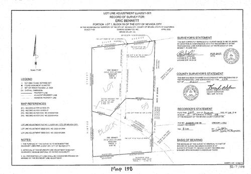
Record of Survey Book 17, pg. 198 (2022)
NC Recorders Map Survey 17-198:
Bennett, Eric. Silva Avenue. Nimrod Street. Ford, William & Gina. Triano, Frances R.
NC Recorders Map Survey 17-198:
Bennett, Eric. Silva Avenue. Nimrod Street. Ford, William & Gina. Triano, Frances R.
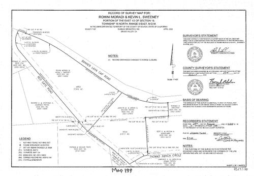
Record of Survey Book 17, pg. 199 (2022)
NC Recorders Map Survey 17-199:
NC Recorders Map Survey 17-199:
Banner Lava Cap Road. Moradi, Roheni. Sweeney, Kevin L.. Red Gate Road. Jauch, Ronald R., Trustee et al. Schriver, Richard A. & Stepanie A., trustees. Nelson, Patricia M., trustee. Chamberlen, Mark P. & Kathryn R.,... See More
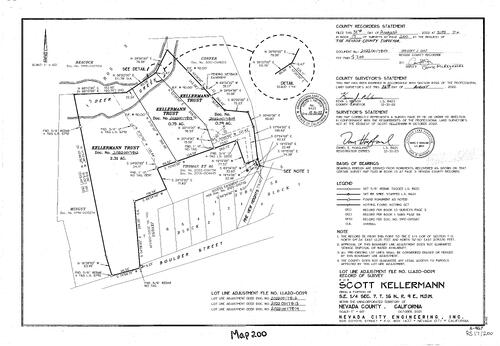
Record of Survey Book 17, pg. 200 (2022)
NC Recorders Map Survey 17-200:
Kellerman, Scott. Boulder Street. Pine View Heights. Kellerman Trust. Deer Creek. Mingst,. Beacock,. Confer. Thomas et al
NC Recorders Map Survey 17-200:
Kellerman, Scott. Boulder Street. Pine View Heights. Kellerman Trust. Deer Creek. Mingst,. Beacock,. Confer. Thomas et al
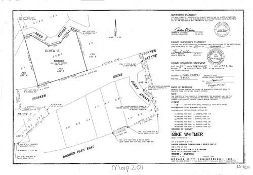
Record of Survey Book 17, pg. 201 (2022)
NC Recorders Map Survey 17-201:
Witmer, Mike. Pioneer Drive. James Avenue. Donner Avenue. Reed Avenue
NC Recorders Map Survey 17-201:
Witmer, Mike. Pioneer Drive. James Avenue. Donner Avenue. Reed Avenue
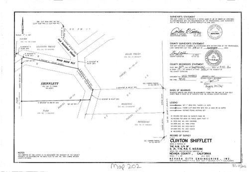
Record of Survey Book 17, pg. 202 (2022)
NC Recorders Map Survey 17-202:
Shifflett, Clinton. Old Raidroad Grade. Wood Rose Way. Giacinto Trust. Sauer,. Parr,. Peterson,. Mariconi,. Blair Trust
NC Recorders Map Survey 17-202:
Shifflett, Clinton. Old Raidroad Grade. Wood Rose Way. Giacinto Trust. Sauer,. Parr,. Peterson,. Mariconi,. Blair Trust
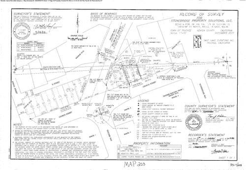
Record of Survey Book 17, pg. 203 (2022)
NC Recorders Map Survey 17-203:
Stonebridge Property Solutions Inc.. Truckee Way. Church Street (Truckee). School St.. E Street. Roundhouse Way. Truckee Railyard Phase I. Tahoe Truckee Lumber Co.. Sierra Pacific Power Co.
NC Recorders Map Survey 17-203:
Stonebridge Property Solutions Inc.. Truckee Way. Church Street (Truckee). School St.. E Street. Roundhouse Way. Truckee Railyard Phase I. Tahoe Truckee Lumber Co.. Sierra Pacific Power Co.

Record of Survey Book 17, pg. 204 (2022)
NC Recorders Map Survey 17-204:
Gerg, Bruce. Copenhagen Drive. Skislope Way. Salvo
NC Recorders Map Survey 17-204:
Gerg, Bruce. Copenhagen Drive. Skislope Way. Salvo

Record of Survey Book 17, pg. 205 (2022)
NC Recorders Map Survey 17-205:
Hansen Bros. Entertrises. LaBarr Meadows Road
NC Recorders Map Survey 17-205:
Hansen Bros. Entertrises. LaBarr Meadows Road
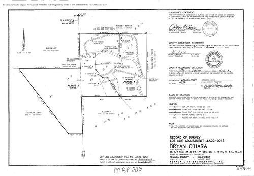
Record of Survey Book 17, pg. 206 (2022)
NC Recorders Map Survey 17-206:
O'Hara, Bryan. Kushler et al. Mattock,. Forrester Trust. MALBY Trust. Eierman,
NC Recorders Map Survey 17-206:
O'Hara, Bryan. Kushler et al. Mattock,. Forrester Trust. MALBY Trust. Eierman,

Record of Survey Book 17, pg. 207 (2022)
NC Recorders Map Survey 17-207:
Baugher, Jan. Penn Valley Drive. Western Gateway Park. Currie,. Squirrel Creek. Weast,
NC Recorders Map Survey 17-207:
Baugher, Jan. Penn Valley Drive. Western Gateway Park. Currie,. Squirrel Creek. Weast,
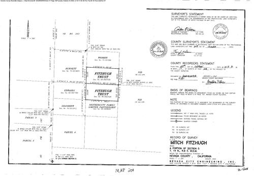
Record of Survey Book 17, pg. 208 (2022)
NC Recorders Map Survey 17-208:
Fitzhugh, Mitch. Fitzhugh Trust. N.I.D.. Webber,. Nethercutt Family ltd. Partnership. Burnett,. Edwards,. Shandrew,
NC Recorders Map Survey 17-208:
Fitzhugh, Mitch. Fitzhugh Trust. N.I.D.. Webber,. Nethercutt Family ltd. Partnership. Burnett,. Edwards,. Shandrew,
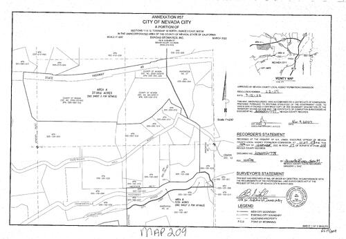
Record of Survey Book 17, pg. 209 (2022)
NC Recorders Map Survey 17-209-1:
Nevada City Annexation #57. State Highway 49. County of Nevada. American Hill Road. Downieville Highway. Champion Road
NC Recorders Map Survey 17-209-1:
Nevada City Annexation #57. State Highway 49. County of Nevada. American Hill Road. Downieville Highway. Champion Road

Record of Survey Book 17, pg. 209 (2022)
NC Recorders Map Survey 17-209-2:
Nevada City Annexation #57. State Highway 49. County of Nevada. American Hill Road. Downieville Highway. Champion Road
NC Recorders Map Survey 17-209-2:
Nevada City Annexation #57. State Highway 49. County of Nevada. American Hill Road. Downieville Highway. Champion Road

Record of Survey Book 17, pg. 210 (2022)
NC Recorders Map Survey 17-210:
T17, R16, SE 1/4 Sec. 3. Cheyanne Way. Alder Drive. Nachbauer,
NC Recorders Map Survey 17-210:
T17, R16, SE 1/4 Sec. 3. Cheyanne Way. Alder Drive. Nachbauer,

Record of Survey Book 17, pg. 211 (2022)
NC Recorders Map Survey 17-211:
Salter,. Mt. Olive Road. Deer Hollow Way. Bernacki,. Lawrence,
NC Recorders Map Survey 17-211:
Salter,. Mt. Olive Road. Deer Hollow Way. Bernacki,. Lawrence,

Record of Survey (amended) Book 17, pg. 212 (2022)
NC Recorders Map Survey 17-212:
O'Hara, Bryan. Kustler et al. Wells,. Forrester Trust. Malley Trust. Eierman,
NC Recorders Map Survey 17-212:
O'Hara, Bryan. Kustler et al. Wells,. Forrester Trust. Malley Trust. Eierman,

Record of Survey Book 17, pg. 213 (2022)
NC Recorders Map Survey 17-213:
Andrews, Michael & Josie. State Highway 49 (Freeway). Coyote Street. 49er Fire District. Coleman,. Broughton,. Maltese Trust. Nevada City Townsite North Line
NC Recorders Map Survey 17-213:
Andrews, Michael & Josie. State Highway 49 (Freeway). Coyote Street. 49er Fire District. Coleman,. Broughton,. Maltese Trust. Nevada City Townsite North Line
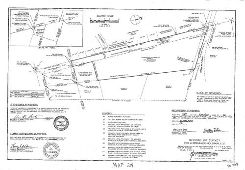
Record of Survye Book 17, pg. 214 (2022)
NC Recorders Map Survey 17-214:
Cherrywood Holdings LLC. Brockway Road. Shore Pine Road. Nevada/Placer County line. Sierra Meadows Unit 4
NC Recorders Map Survey 17-214:
Cherrywood Holdings LLC. Brockway Road. Shore Pine Road. Nevada/Placer County line. Sierra Meadows Unit 4
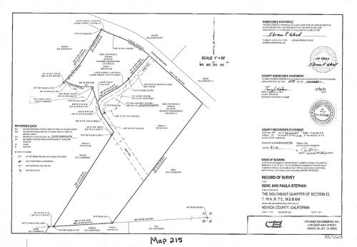
Record of Survey Book 17, pg. 215 (2022)
NC Recorders Map Survey 17-215:
Stephon, Gene & Paula. Rough & Ready Road. Sandy Way. Walker,. Smith,. Ball,. Suehead,. Shaba,. Hughes,. Teehee,
NC Recorders Map Survey 17-215:
Stephon, Gene & Paula. Rough & Ready Road. Sandy Way. Walker,. Smith,. Ball,. Suehead,. Shaba,. Hughes,. Teehee,
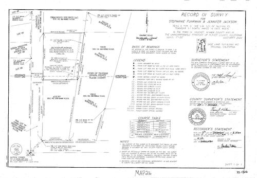
Record of Survey Book 17, pg. 216 (2022)
NC Recorders Map Survey 17-216:
Fuhrman, Stephanie & Jackson, Jennifer. Cherrywood Holdings LLC. Sierra Meadows Unit 4. Nevada/Placer County Line. Ackley,. Virus,. Truckee town line
NC Recorders Map Survey 17-216:
Fuhrman, Stephanie & Jackson, Jennifer. Cherrywood Holdings LLC. Sierra Meadows Unit 4. Nevada/Placer County Line. Ackley,. Virus,. Truckee town line

Record of Survey Book 17, pg. 217 (2022)
NC Recorders Map Survey 17-217:
Schrady, Peter & Cheryl. Donner Lake. South Shore Drive. Nelson,. Donner Lake Villa Tract. Henderson,. Nevada/Placer/Truckee Line
NC Recorders Map Survey 17-217:
Schrady, Peter & Cheryl. Donner Lake. South Shore Drive. Nelson,. Donner Lake Villa Tract. Henderson,. Nevada/Placer/Truckee Line
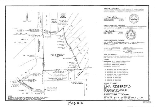
Record of Survey Book 17, pg. 218 (2022)
NC Recorders Map Survey 17-218:
Restrepo, Lina. Bubbling Wells Road. Lowe & Restrepo. Yarborough Land Trust. Greig Trust. Elias,. Berry Trust. Taylor,. Anderson Trust
NC Recorders Map Survey 17-218:
Restrepo, Lina. Bubbling Wells Road. Lowe & Restrepo. Yarborough Land Trust. Greig Trust. Elias,. Berry Trust. Taylor,. Anderson Trust

Record of survey, David & Velva Coans
NC Recorders Map Survey 17-241:
Coans, David & Velva. Wolf Creek. Coons. Conscientious Construction & Investment LLC. Coons, David & Velva. Conscientious Construction & Investments Inc.
NC Recorders Map Survey 17-241:
Coans, David & Velva. Wolf Creek. Coons. Conscientious Construction & Investment LLC. Coons, David & Velva. Conscientious Construction & Investments Inc.

Record of Survey, Steve Martens
NC Recorders Map Survey 17-242:
Martens, Steve. Winslow, James & Leslie. Sivers Lane. Pine Cone Circle. Dodds,. Berquist & Merfin. Nelsen,. Berquist & Murfin. Cook,. Mortens, Steve
NC Recorders Map Survey 17-242:
Martens, Steve. Winslow, James & Leslie. Sivers Lane. Pine Cone Circle. Dodds,. Berquist & Merfin. Nelsen,. Berquist & Murfin. Cook,. Mortens, Steve

Record of Survey, Sharon Lane
NC Recorders Map Survey 17-243:
NC Recorders Map Survey 17-243:
Grove Street. Lester. Lane Trust. Wilson-Cob Trust. Lelvina Trust. Eckels, Rodney & Michelle. Buck Ridge road. Spitzel Living Trust. Bayne, Kell L.. Paasch, Steven & Melinda. Deer Creek. Wilson-Cobb Trust. Ledvina... See More

Record of survey Book 17, pg. 244 (2023)
NC Recorders Map Survey 17-244:
Spitzel Living Trust. Bayne, Kelly L.. Paasch, Steven & Melinda. Eckels, Rodney & Michelle
NC Recorders Map Survey 17-244:
Spitzel Living Trust. Bayne, Kelly L.. Paasch, Steven & Melinda. Eckels, Rodney & Michelle

Record of Survey Holcomb, Patten & Schafhauser Tru
NC Recorders Map Survey 17-245:
Holcombe, Patten & Schafhauser Trust. Brock Road. Shaar Trust. Linch Trust. Holcombe, Patten & Schafhouser. Nevada City Bloxk 43, Lot 4. Heilman Court. Patten,
NC Recorders Map Survey 17-245:
Holcombe, Patten & Schafhauser Trust. Brock Road. Shaar Trust. Linch Trust. Holcombe, Patten & Schafhouser. Nevada City Bloxk 43, Lot 4. Heilman Court. Patten,
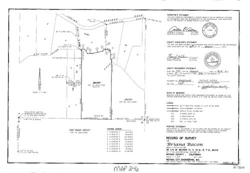
Record of Survey for Briana Bacon
NC Recorders Map Survey 17-246:
Bacon, Briana. Indian Springs Road. Smith Lane. Tarr ditch centerline. Young,. Ward Trust, The
NC Recorders Map Survey 17-246:
Bacon, Briana. Indian Springs Road. Smith Lane. Tarr ditch centerline. Young,. Ward Trust, The

Record of Survey for Scott Muir
NC Recorders Map Survey 17-247:
Muir, Scott. Excelsior Ditch Camp Road
NC Recorders Map Survey 17-247:
Muir, Scott. Excelsior Ditch Camp Road
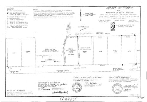
Record of Survey Book 17 pg. 254 (2023)
NC Recorders Map Survey 17-254:
Stepan, Philippa & Leon. donner Lake Road. Reed Avenue West. Rodriguez-Gomez
NC Recorders Map Survey 17-254:
Stepan, Philippa & Leon. donner Lake Road. Reed Avenue West. Rodriguez-Gomez
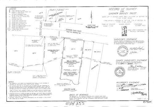
Record of Survey Book 17, pg. 255 (2023)
NC Recorders Map Survey 17-255:
Lindner-Dooley Trust. Donner Pass Road. Donner Pines Ext.. Donner Pines Tract. Wells Fargo
NC Recorders Map Survey 17-255:
Lindner-Dooley Trust. Donner Pass Road. Donner Pines Ext.. Donner Pines Tract. Wells Fargo

Record of Survey Book 17, pg. 256 (2023)
NC Recorders Map Survey 17-256-1:
Donner Lake. Nevada/Placer County Line. Argyres,. Donner Lake Villa Tract No. 1. Conifer Drive. South Shore Drive. Ordinary High Water Line. Ordinary Low Water Line. Stoesser,. Dill,. Donner Woods Unit No. 2
NC Recorders Map Survey 17-256-1:
Donner Lake. Nevada/Placer County Line. Argyres,. Donner Lake Villa Tract No. 1. Conifer Drive. South Shore Drive. Ordinary High Water Line. Ordinary Low Water Line. Stoesser,. Dill,. Donner Woods Unit No. 2

Record of Survey Book 17, pg. 256 (2023)
NC Recorders Map Survey 17-256-2:
Donner Lake. Nevada/Placer County Line. Argyres,. Donner Lake Villa Tract No. 1. Conifer Drive. South Shore Drive. Ordinary High Water Line. Ordinary Low Water Line. Stoesser,. Dill,. Donner Woods Unit No. 2
NC Recorders Map Survey 17-256-2:
Donner Lake. Nevada/Placer County Line. Argyres,. Donner Lake Villa Tract No. 1. Conifer Drive. South Shore Drive. Ordinary High Water Line. Ordinary Low Water Line. Stoesser,. Dill,. Donner Woods Unit No. 2

Survey Map Book 17, pg. 257
NC Recorders Map Survey 17-257-1
NC Recorders Map Survey 17-257-1

Survey Map Book 17, pg. 257
NC Recorders Map Survey 17-257-2
NC Recorders Map Survey 17-257-2
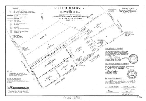
Record of Survey Book 17, pg. 258 (2023)
NC Recorders Map Survey 17-258:
Ely, Elizabeth M.. Pine Street. Broad Street East. Cottage Street. Arnold,. Oregon RavineEly,. Hottegendre,. Bosich,. Badgruell,
NC Recorders Map Survey 17-258:
Ely, Elizabeth M.. Pine Street. Broad Street East. Cottage Street. Arnold,. Oregon RavineEly,. Hottegendre,. Bosich,. Badgruell,

Record of Survey Book 17, pg. 259 (2023)
NC Recorders Map Survey 17-259:
La Barr Meadows road. State Highway 49. Nevada County Property. Hopper, James & Jamie
NC Recorders Map Survey 17-259:
La Barr Meadows road. State Highway 49. Nevada County Property. Hopper, James & Jamie
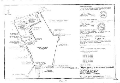
Record of Survey Book 17, pg. 260 (2023)
NC Recorders Map Survey 17-260:
Boulder Street. Vickstrom,. Leever,. Schneider & Branscum rust. Craddock Trust. Brock & Dself Trustanaher. Mendoza Trust. Johnson,. May Trust. Brock, Julian & Katharine Danaher
NC Recorders Map Survey 17-260:
Boulder Street. Vickstrom,. Leever,. Schneider & Branscum rust. Craddock Trust. Brock & Dself Trustanaher. Mendoza Trust. Johnson,. May Trust. Brock, Julian & Katharine Danaher

Record of Survey Book 17, pg. 261 (2023)
NC Recorders Map Survey 17-261:
Jordan Street. Firtberm. Vanderveen Trust. Valley Road LLC. Dickman Trust. Gethsemane Street. Brown Trust. Aucella, Adam
NC Recorders Map Survey 17-261:
Jordan Street. Firtberm. Vanderveen Trust. Valley Road LLC. Dickman Trust. Gethsemane Street. Brown Trust. Aucella, Adam

Record of Survey Book 17, pg. 262 (2023)
NC Recorders Map Survey 17-262:
Tristant, William. Donner Pass Road. Donner Avenue. Beaudin,. Baumsteiger,
NC Recorders Map Survey 17-262:
Tristant, William. Donner Pass Road. Donner Avenue. Beaudin,. Baumsteiger,

Record of Survey Book 17, pg. 263 (2023)
NC Recorders Map Survey 17-263:
Solomon, Lari. Drew,. J. R. Real Properties. Heinrich,. Brown & Rezendes. Deer Hollow Way
NC Recorders Map Survey 17-263:
Solomon, Lari. Drew,. J. R. Real Properties. Heinrich,. Brown & Rezendes. Deer Hollow Way

Record of Survey Book 17, pg. 264 (2023)
NC Recorders Map Survey 17-264:
Guzman, Jack. Highway Road. Donner Pass Road. Richards Boulevard. Interstate 80. Truckee Donner I LLC
NC Recorders Map Survey 17-264:
Guzman, Jack. Highway Road. Donner Pass Road. Richards Boulevard. Interstate 80. Truckee Donner I LLC
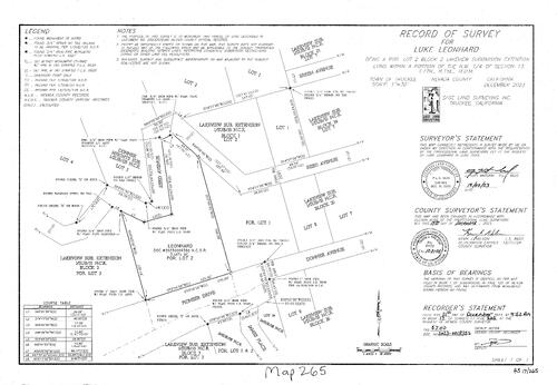
Record of Survey Book 17, pg. 265 (2023)
NC Recorders Map Survey 17-265:
Pioneer Drive. Donner Avenue. James Place. Lakeview Sub. Extension. Leonhard,. Lakeview Subdivision Block25. Reed Avenue. Breen Avenue. Donner Heights Subdivision. Leonhard, Luke
NC Recorders Map Survey 17-265:
Pioneer Drive. Donner Avenue. James Place. Lakeview Sub. Extension. Leonhard,. Lakeview Subdivision Block25. Reed Avenue. Breen Avenue. Donner Heights Subdivision. Leonhard, Luke


