Enter a name, company, place or keywords to search across this item. Then click "Search" (or hit Enter).
Zoom Out
Zoom In (Please allow time for high-res images to load)
Zoom: 100%
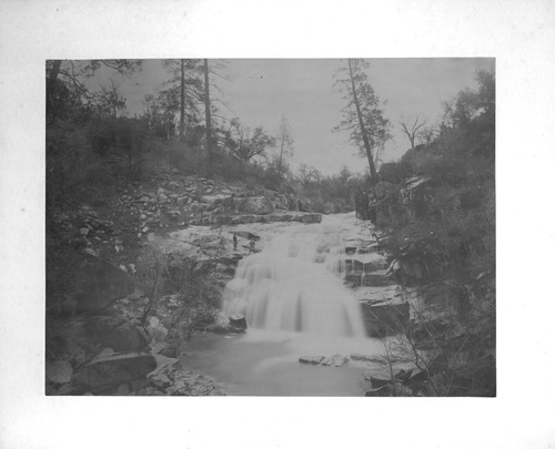
PIC 5-N 1:
Deer Creek Falls?. 2 men, creek, waterfall, rocks, trees.
Deer Creek Falls?. 2 men, creek, waterfall, rocks, trees.
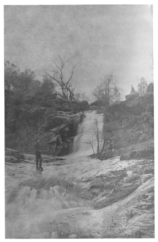
PIC 5-N 2-A:
Nevada County Scene. 2 men with guns, creek, waterfall.
Nevada County Scene. 2 men with guns, creek, waterfall.
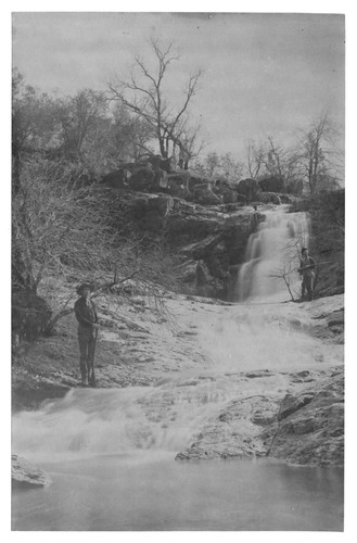
PIC 5-N 2-B:
Nevada County Scene. 2 men with guns, creek, waterfall, different pose.
Nevada County Scene. 2 men with guns, creek, waterfall, different pose.

PIC 5-N 2-BACK:
[No associated photo or description available].
[No associated photo or description available].
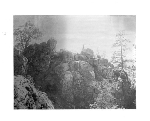
PIC 5-N 4:
Nevada County Scene. Large rocks, 3 people on top.
Nevada County Scene. Large rocks, 3 people on top.
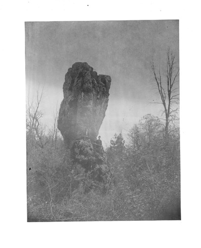
PIC 5-N 5:
Nevada County Scene. 2 men with guns, very large rock above them.
Nevada County Scene. 2 men with guns, very large rock above them.
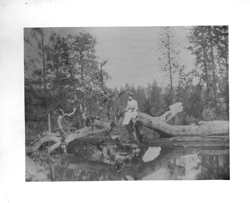
PIC 5-N 6:
Nevada County Scene. Lady ca. 1915 sitting on log by water.
Nevada County Scene. Lady ca. 1915 sitting on log by water.
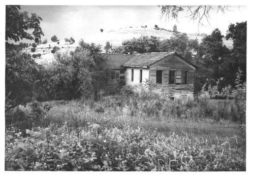
PIC 5-N 7:
Empire Ranch. 1850's stage stop & road house, nr Smartsville.
Empire Ranch. 1850's stage stop & road house, nr Smartsville.
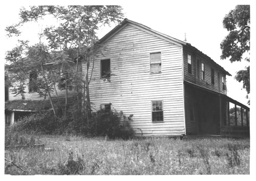
PIC 5-N 8:
Empire Ranch. 1850's stage stop & road house, nr Smartsville.
Empire Ranch. 1850's stage stop & road house, nr Smartsville.
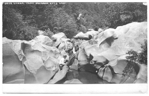
PIC 5-N 9:
Deer Creek. Fishing, boy. Low water, huge boulders, boy fishing. @ Deer Creek, low water, huge boulders.
Deer Creek. Fishing, boy. Low water, huge boulders, boy fishing. @ Deer Creek, low water, huge boulders.
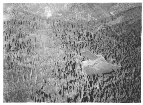
PIC 5-N 10A:
Central House. 1930 series of aerial views.
Central House. 1930 series of aerial views.
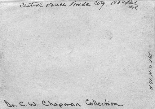
PIC 5-N 10A-BACK:
[No associated photo or description available].
[No associated photo or description available].

PIC 5-N 10A-E:
Central House. 1930 series of aerial views.
Central House. 1930 series of aerial views.
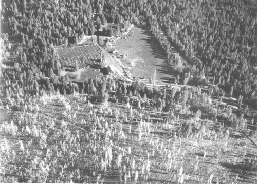
PIC 5-N 10B:
Central House. 1930 series of aerial views.
Central House. 1930 series of aerial views.
PIC 5-N 10B-BACK:
[No associated photo or description available].
[No associated photo or description available].
PIC 5-N 10C:
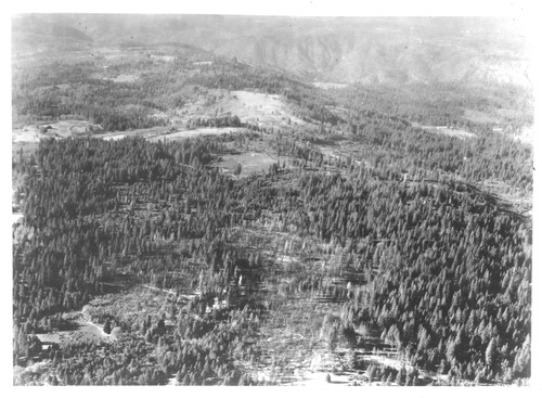
Central House. 1930 series of aerial views.
Central House. 1930 series of aerial views.
PIC 5-N 10C-BACK:
[No associated photo or description available].
[No associated photo or description available].
PIC 5-N 10D:
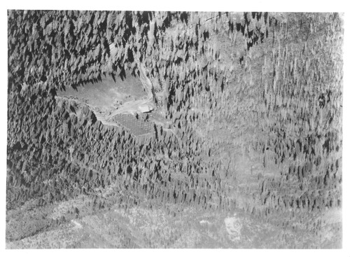
Central House. 1930 series of aerial views.
Central House. 1930 series of aerial views.
PIC 5-N 10D-BACK:
[No associated photo or description available].
[No associated photo or description available].
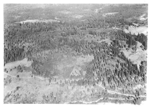
PIC 5-N 10E:
Central House. 1930 series of aerial views.
Central House. 1930 series of aerial views.
PIC 5-N 10E-BACK:
[No associated photo or description available].
[No associated photo or description available].
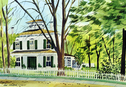
PIC 5-N 11:
Comstock, David. Marsh, M. L. House. Print of watercolor, M.L. Marsh house, copyrighted. Print of watercolor, copyrighted, David Comstock.
Comstock, David. Marsh, M. L. House. Print of watercolor, M.L. Marsh house, copyrighted. Print of watercolor, copyrighted, David Comstock.
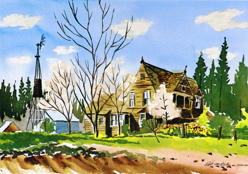
PIC 5-N 12:
Comstock, David. Briot-Merkle House. Print of watercolor Briot-Merkle House,copyrighted. Print of watercolor, copyrighted, David Comstock.
Comstock, David. Briot-Merkle House. Print of watercolor Briot-Merkle House,copyrighted. Print of watercolor, copyrighted, David Comstock.
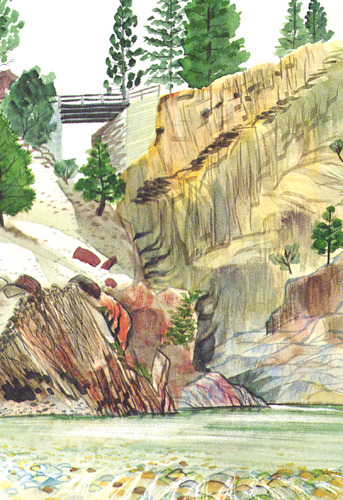
PIC 5-N 13:
Comstock, David. Steephollow Bridge. Print of watercolor,Steephollow Bridge,copyrighted. Print of... See More
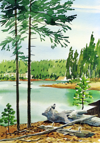
PIC 5-N 14:
Comstock, David. Scotts Flat Lake. Print of watercolor, Scotts Flat Lake, copyrighted. Print of... See More
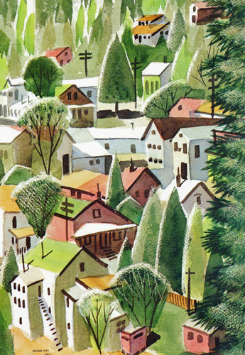
PIC 5-N 15:
Nevada City view. Comstock, David. Print of watercolor, Copyright David Comstock. Print of... See More
PIC 5-N 16:
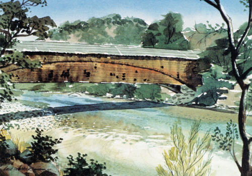
Comstock, David. Bridgeport Covered Bridge. Print of watercolor, Bridgeport Covered Bridge. Print of watercolor Copyright David Comstock.
Comstock, David. Bridgeport Covered Bridge. Print of watercolor, Bridgeport Covered Bridge. Print of watercolor Copyright David Comstock.
PIC 5-N 17:
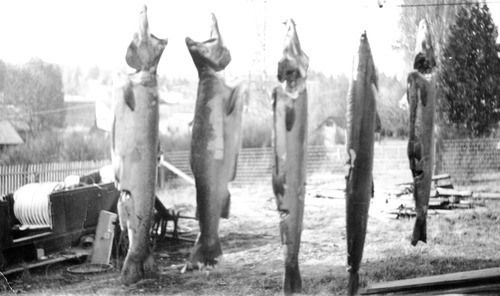
Fish. 5 large fish, salmon?, print date 1933.
Fish. 5 large fish, salmon?, print date 1933.
PIC 5-N 18:
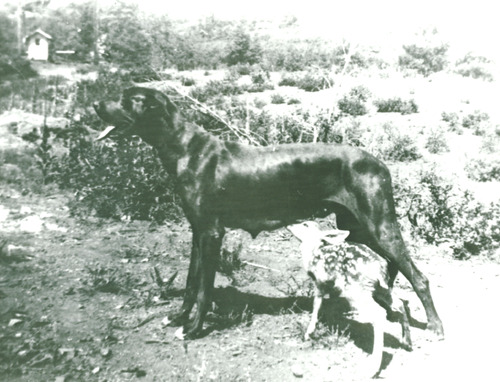
Deer. Dog & fawn. Spotted fawn nursing on large black dog.
Deer. Dog & fawn. Spotted fawn nursing on large black dog.
PIC 5-N 19:
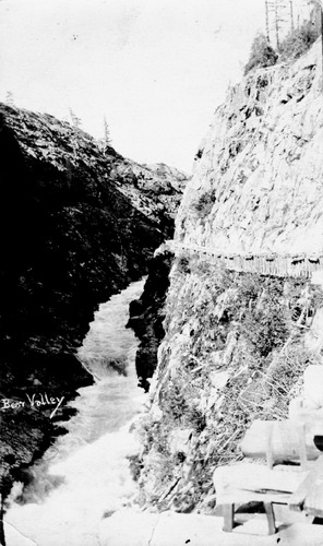
[No description of available].
[No description of available].
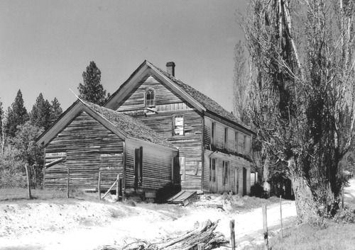
PIC 5-N 20:
Sweetland Hotel & Store. Undated, dirt rd. run-down.
Sweetland Hotel & Store. Undated, dirt rd. run-down.
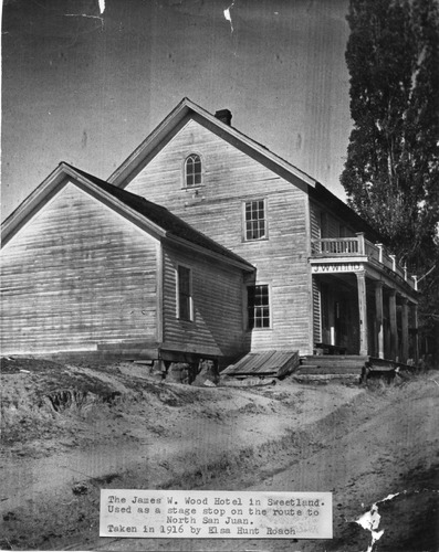
PIC 5-N 21:
Sweetland Hotel. Wood, James W.. J. W. Wood hotel at Sweetland ca. 1916. His Sweetland Hotel ca. 1916.
Sweetland Hotel. Wood, James W.. J. W. Wood hotel at Sweetland ca. 1916. His Sweetland Hotel ca. 1916.

PIC 5-N 21 & 21B:
Sweetland Hotel. Wood, James W.. J. W. Wood hotel at Sweetland ca. 1916. His Sweetland Hotel ca. 1916.
Sweetland Hotel. Wood, James W.. J. W. Wood hotel at Sweetland ca. 1916. His Sweetland Hotel ca. 1916.
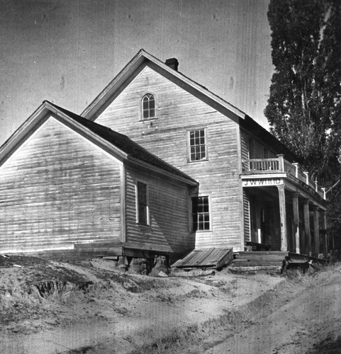
PIC 5-N 21B:
Sweetland Hotel. Wood, James W.. J. W. Wood hotel at Sweetland ca. 1916. His Sweetland Hotel ca. 1916.
Sweetland Hotel. Wood, James W.. J. W. Wood hotel at Sweetland ca. 1916. His Sweetland Hotel ca. 1916.
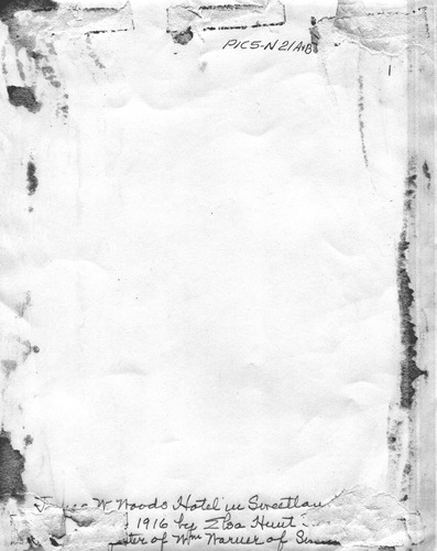
PIC 5-N 21B (2):
Sweetland Hotel. Wood, James W.. J. W. Wood hotel at Sweetland ca. 1916. His Sweetland Hotel ca. 1916.
Sweetland Hotel. Wood, James W.. J. W. Wood hotel at Sweetland ca. 1916. His Sweetland Hotel ca. 1916.
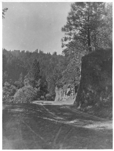
PIC 5-N 22 & 22B:
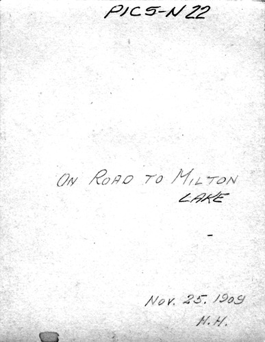
Milton Lake. Road to, 11-25-1909.
Milton Lake. Road to, 11-25-1909.
PIC 5-N 22-BACK:
[No associated photo or description available].
[No associated photo or description available].
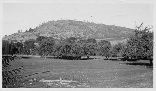
PIC 5-N 23 & 23B:
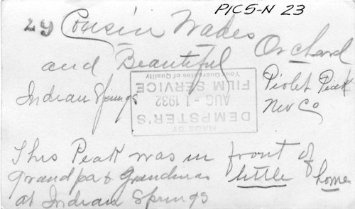
Pilot Peak. 1932 taken from Indian Springs.
Pilot Peak. 1932 taken from Indian Springs.
PIC 5-N 23-BACK:
[No associated photo or description available].
[No associated photo or description available].
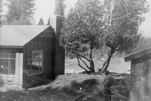
PIC 5-N 24A:
Washington Ridge Conservation Camp. 1961 construction of Sup'r House.
Washington Ridge Conservation Camp. 1961 construction of Sup'r House.

PIC 5-N 24A-24G:
Washington Ridge Conservation Camp. 1961 construction of Sup'r House.
Washington Ridge Conservation Camp. 1961 construction of Sup'r House.
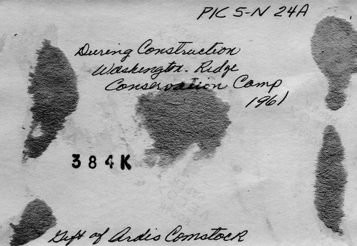
PIC 5-N 24A-BACK:
[No associated photo or description available].
[No associated photo or description available].
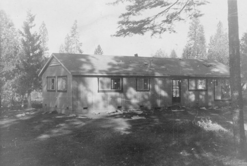
PIC 5-N 24B:
Washington Ridge Conservation Camp. 1961 construction of Sup'r House.
Washington Ridge Conservation Camp. 1961 construction of Sup'r House.

PIC 5-N 24B-BACK:
[No associated photo or description available].
[No associated photo or description available].
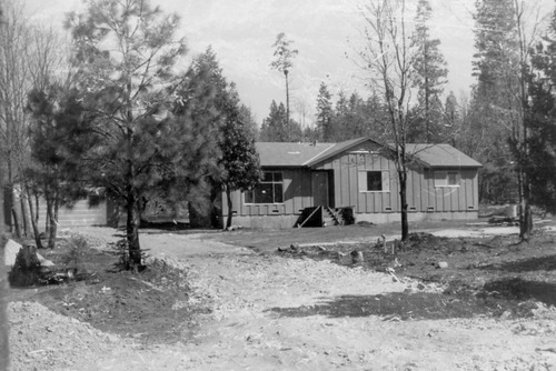
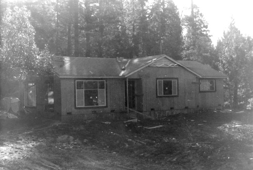
PIC 5-N 24C:
Washington Ridge Conservation Camp. 1961 construction of Sup'r House.
Washington Ridge Conservation Camp. 1961 construction of Sup'r House.
PIC 5-N 24C-BACK:
[No associated photo or description available].
[No associated photo or description available].
PIC 5-N 24D:
Washington Ridge Conservation Camp. 1961 construction of Sup'r House.
Washington Ridge Conservation Camp. 1961 construction of Sup'r House.
PIC 5-N 24D-BACK:
[No associated photo or description available].
[No associated photo or description available].
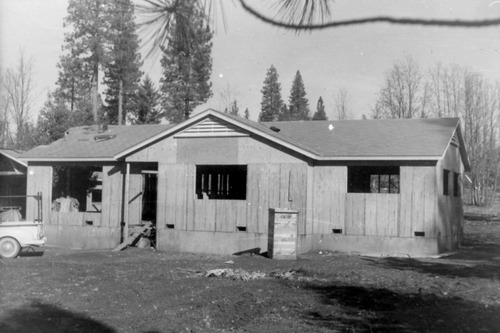
PIC 5-N 24E:
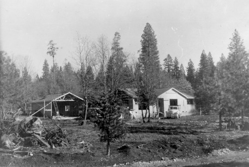
Washington Ridge Conservation Camp. 1961 construction of Sup'r House.
Washington Ridge Conservation Camp. 1961 construction of Sup'r House.
PIC 5-N 24E-BACK:
[No associated photo or description available].
[No associated photo or description available].
PIC 5-N 24F:
Washington Ridge Conservation Camp. 1961 construction of Sup'r House.
Washington Ridge Conservation Camp. 1961 construction of Sup'r House.
PIC 5-N 24F-BACK:
[No associated photo or description available].
[No associated photo or description available].
PIC 5-N 24G:
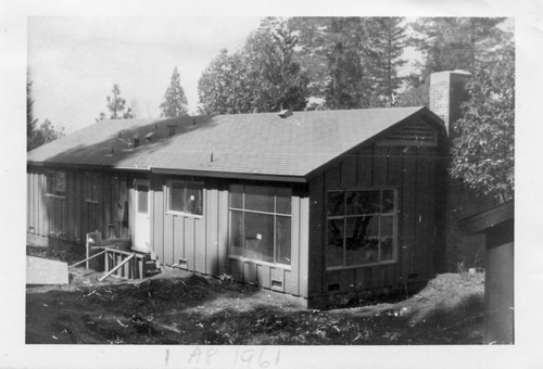
Washington Ridge Conservation Camp. 1961 construction of Sup'r House.
Washington Ridge Conservation Camp. 1961 construction of Sup'r House.
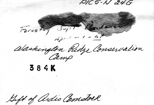
PIC 5-N 24G-BACK:
[No associated photo or description available].
[No associated photo or description available].
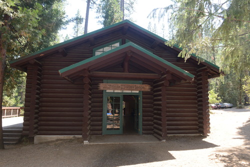
PIC 5-N 25A:
[No description of available].
[No description of available].
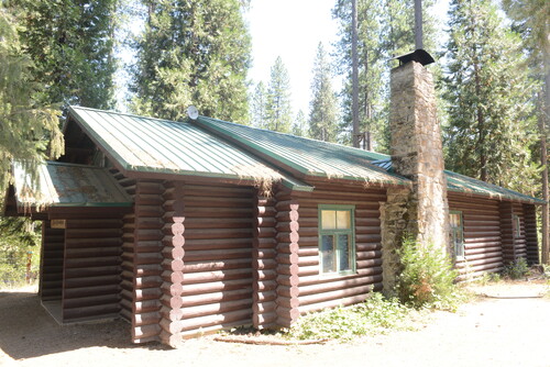
PIC 5-N 25B:
[No description of available].
[No description of available].
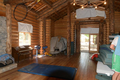
PIC 5-N 26A:
[No description of available].
[No description of available].
PIC 5-N 26B:
[No description of available].
[No description of available].
PIC 5-N 27:
[No description of available].
[No description of available].
PIC 5-N 28:
[No description of available].
[No description of available].
PIC 5-N 29:
[No description of available].
[No description of available].
PIC 5-N 30:
[No description of available].
[No description of available].
PIC 5-N 31:
[No description of available].
[No description of available].
PIC 5-N 32:
[No description of available].
[No description of available].
PIC 5-N 33:
[No description of available].
[No description of available].
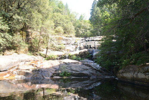
PIC 5-N 34:
[No description of available].
[No description of available].
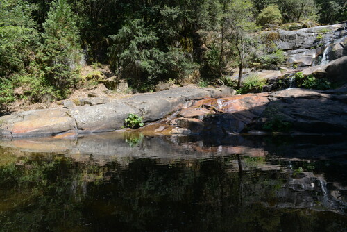
PIC 5-N 35:
[No description of available].
[No description of available].
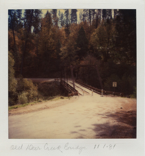
PIC 5-N 36A:
Deer Creek Bridge, old. 11-1981 view from roadway.
Deer Creek Bridge, old. 11-1981 view from roadway.
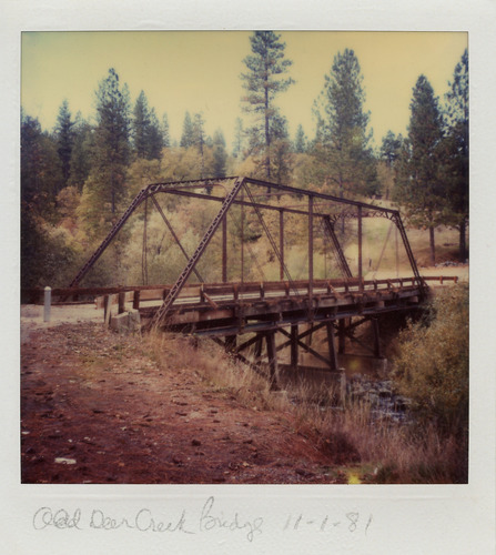
PIC 5-N 36B:
Deer Creek Bridge, old. 11-1981 side view.
Deer Creek Bridge, old. 11-1981 side view.

PIC 5-N 37A:
Deer Creek Bridge, new. 8-1981 under construction.
Deer Creek Bridge, new. 8-1981 under construction.
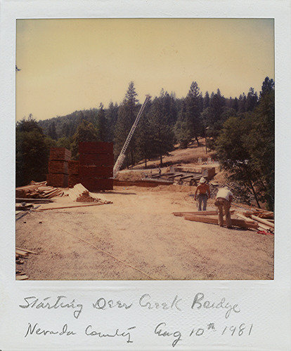
PIC 5-N 37B:
Deer Creek Bridge, new. 8-1981 starting construction.
Deer Creek Bridge, new. 8-1981 starting construction.
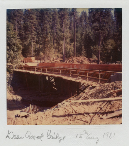
PIC 5-N 38:
Deer Creek Bridge, new. 8-1981 under construction.
Deer Creek Bridge, new. 8-1981 under construction.
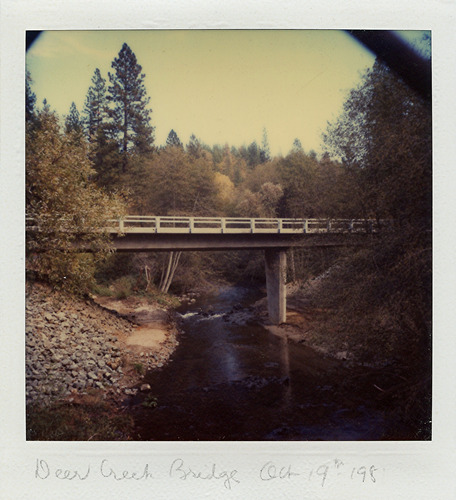
PIC 5-N 39A:
Deer Creek Bridge, new. 10-1981, new concrete bridge, view from creek.
Deer Creek Bridge, new. 10-1981, new concrete bridge, view from creek.
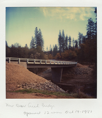
PIC 5-N 39B:
Deer Creek Bridge, new. 10-1981 side view.
Deer Creek Bridge, new. 10-1981 side view.
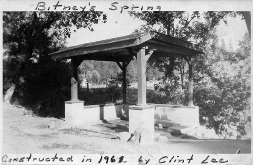
PIC 5-N 40:
Bitney Spring structure. Lone Cypress Ranch. 1963, built 1961 by Clint Lee. House.
Bitney Spring structure. Lone Cypress Ranch. 1963, built 1961 by Clint Lee. House.
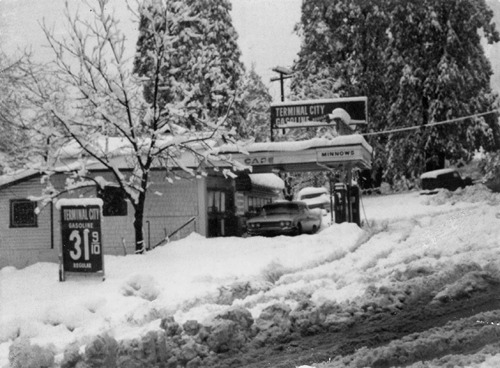
PIC 5-N 41:
Bitney's Corner. 1964, gas station, snow scene.
Bitney's Corner. 1964, gas station, snow scene.
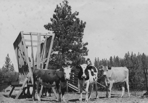
PIC 5-N 42:
Lone Cypress Ranch. Cows Susie, Elsie & Poncho.
Lone Cypress Ranch. Cows Susie, Elsie & Poncho.
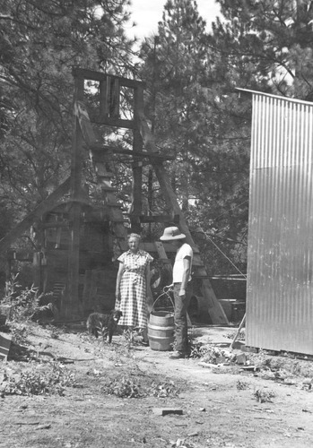
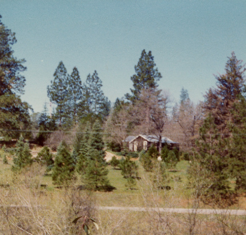
PIC 5-N 43:
Lone Cypress Ranch. Lee, Clint. "silver bucket" of old owners, Mrs. Calter, Clint. At old mine Lone... See More
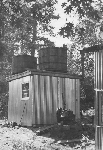
PIC 5-N 44:
Lone Cypress Ranch. Old mine buildings.
Lone Cypress Ranch. Old mine buildings.
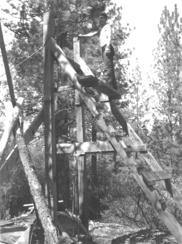
PIC 5-N 45:
Lone Cypress Ranch. Silver Bucket Ranch. 1960, old mine, Clint Lee, Mrs. Salter.
Lone Cypress Ranch. Silver Bucket Ranch. 1960, old mine, Clint Lee, Mrs. Salter.
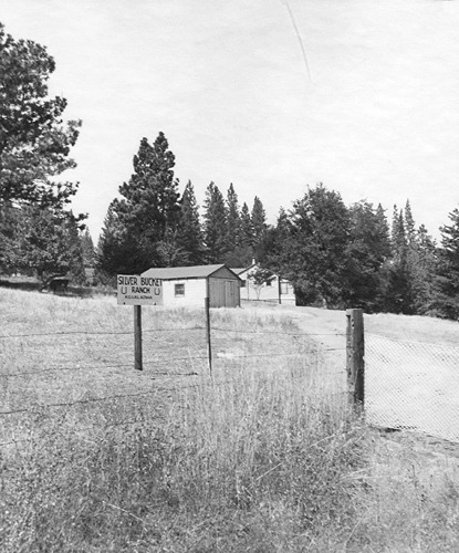
PIC 5-N 46:
Lone Cypress Ranch. Silver Bucket Ranch. Altman, H. G. & H. L.. 1953, gate, buildings. 1953, new owners renamed Lone Cypress... See More
PIC 5-N 47:
[No description of available].
[No description of available].
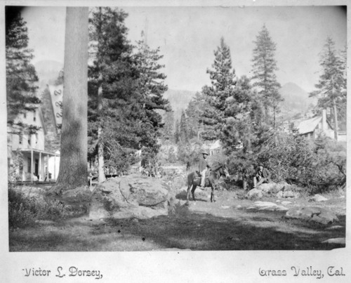
PIC 5-N 48:
Soda Springs Hotel. Hopkins, Mark. Building, horseback rider (Mark Hopkins?). Soda Springs Hotel (Mark Hopkins) on neg. envelope.
Soda Springs Hotel. Hopkins, Mark. Building, horseback rider (Mark Hopkins?). Soda Springs Hotel (Mark Hopkins) on neg. envelope.
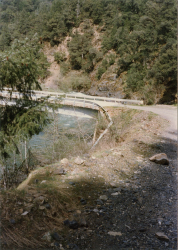
PIC 5-N 49-56:
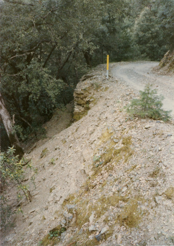
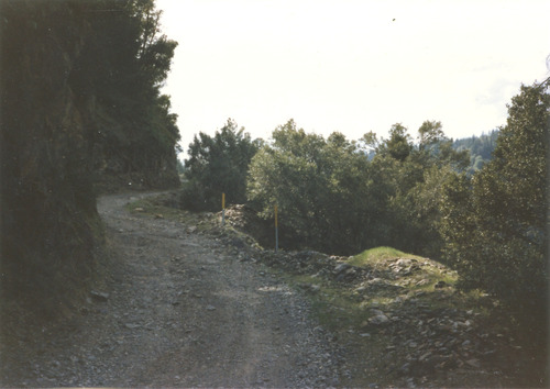
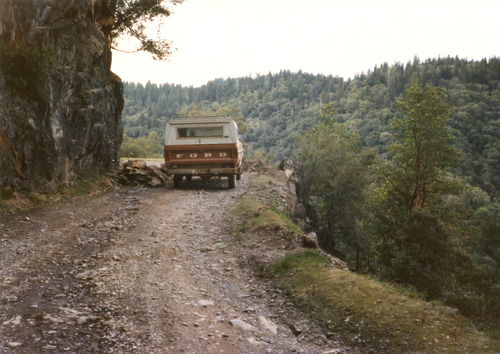
Foote's Crossing Road. 1985, color, series showing condition of roadway.
Foote's Crossing Road. 1985, color, series showing condition of roadway.
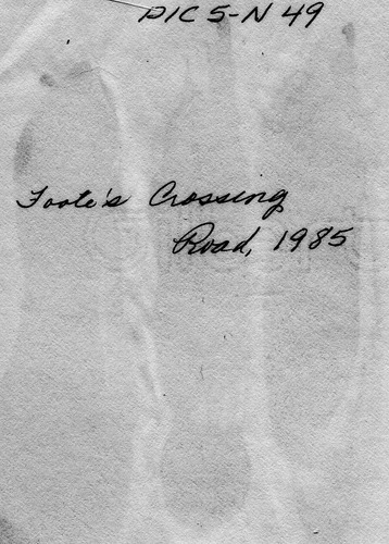
PIC 5-N 49-BACK:
[No associated photo or description available].
[No associated photo or description available].
PIC 5-N 50:
[No description of available].
[No description of available].
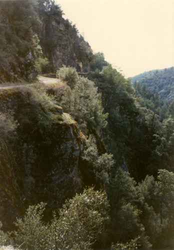
PIC 5-N 51:
[No description of available].
[No description of available].
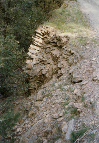
PIC 5-N 52:
[No description of available].
[No description of available].
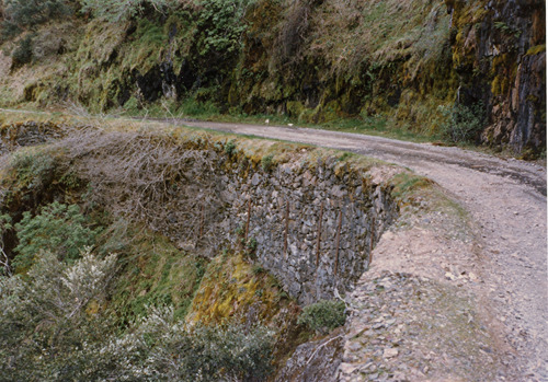
PIC 5-N 53:
[No description of available].
[No description of available].
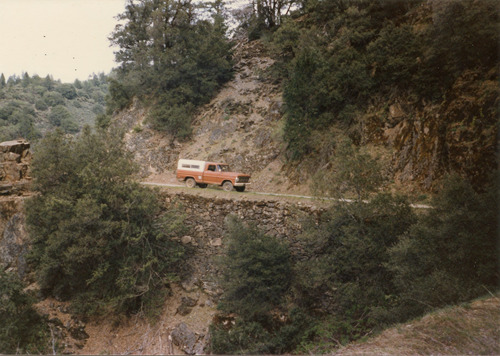
PIC 5-N 54:
[No description of available].
[No description of available].
PIC 5-N 55:
[No description of available].
[No description of available].
PIC 5-N 56:
[No description of available].
[No description of available].
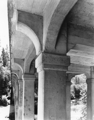
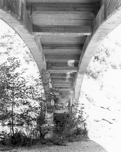
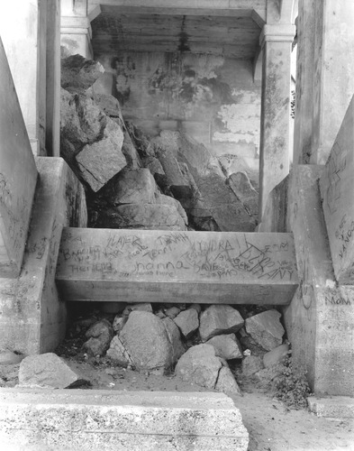
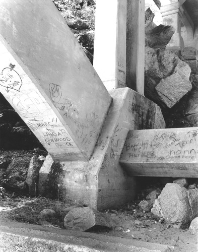
PIC 5-N 57-71:
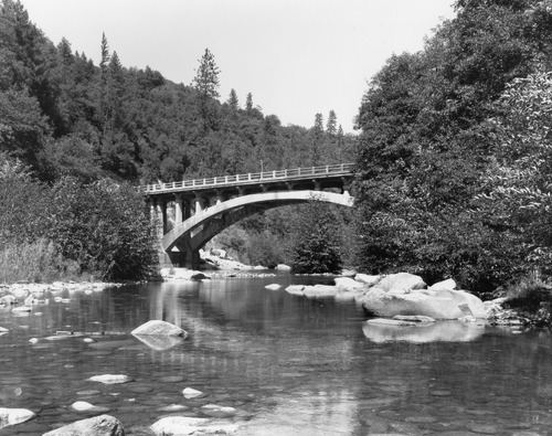
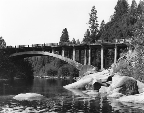
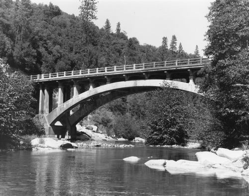
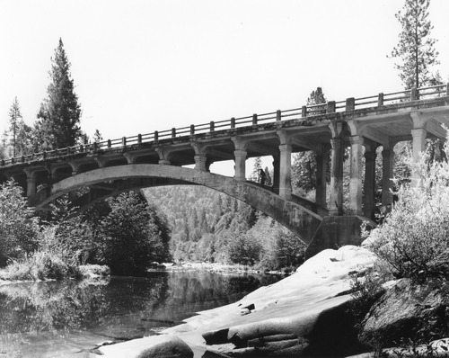
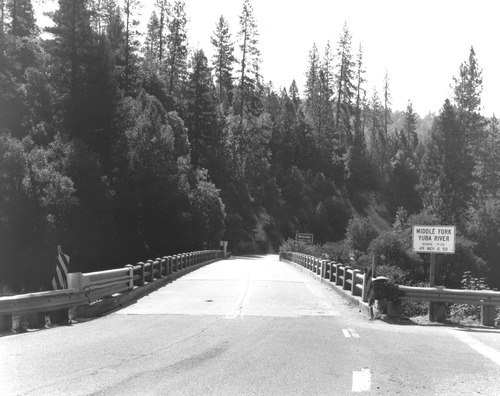
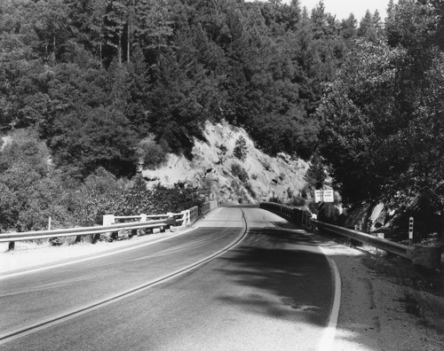
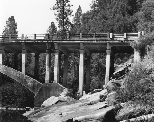
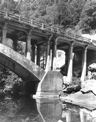
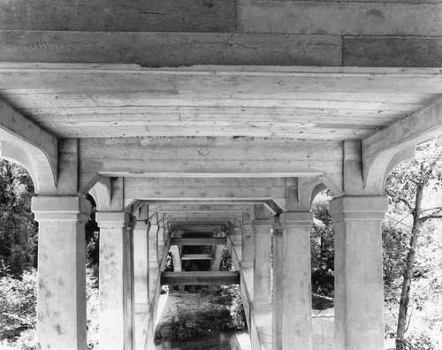
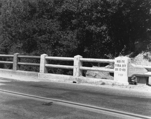
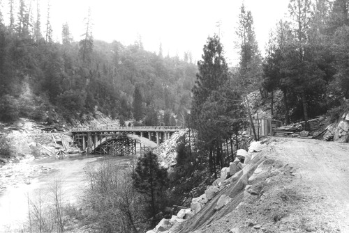
Freeman's Crossing Bridge. 1993 series before demolition, Middle Fork Yuba.
Freeman's Crossing Bridge. 1993 series before demolition, Middle Fork Yuba.
PIC 5-N 58:
[No description of available].
[No description of available].
PIC 5-N 59:
[No description of available].
[No description of available].
PIC 5-N 60:
[No description of available].
[No description of available].
PIC 5-N 61:
[No description of available].
[No description of available].
PIC 5-N 62:
[No description of available].
[No description of available].
PIC 5-N 63:
[No description of available].
[No description of available].
PIC 5-N 64:
[No description of available].
[No description of available].
PIC 5-N 65:
[No description of available].
[No description of available].
PIC 5-N 66:
[No description of available].
[No description of available].
PIC 5-N 67:
[No description of available].
[No description of available].
PIC 5-N 68:
[No description of available].
[No description of available].
PIC 5-N 69:
[No description of available].
[No description of available].
PIC 5-N 70:
[No description of available].
[No description of available].
PIC 5-N 71:
[No description of available].
[No description of available].
PIC 5-N 72-79:
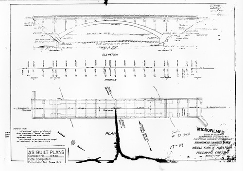
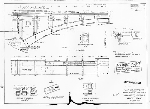
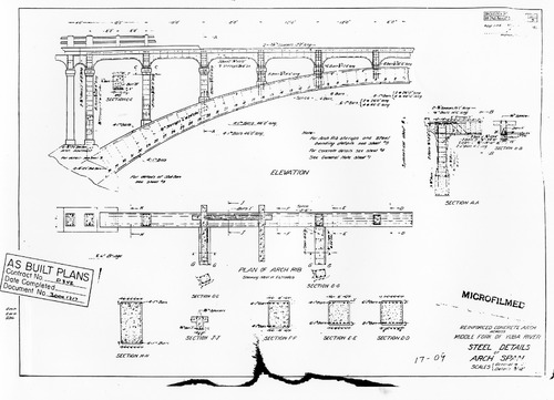
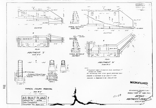
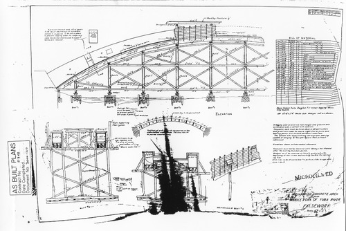
Freeman's Crossing Bridge. "As Built" plans for bridge.
Freeman's Crossing Bridge. "As Built" plans for bridge.
PIC 5-N 73:
[No description of available].
[No description of available].
PIC 5-N 73B:
[No description of available].
[No description of available].
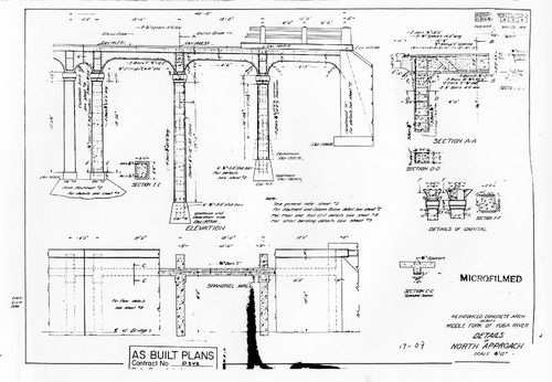
PIC 5-N 74:
[No description of available].
[No description of available].
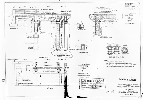
PIC 5-N 75:
[No description of available].
[No description of available].
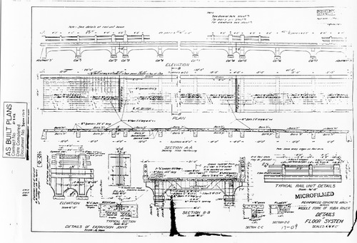
PIC 5-N 76:
[No description of available].
[No description of available].
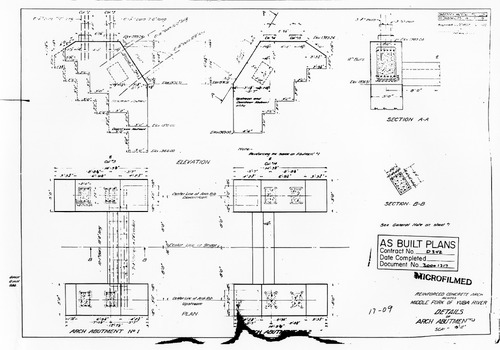
PIC 5-N 77:
[No description of available].
[No description of available].
PIC 5-N 78:
[No description of available].
[No description of available].
PIC 5-N 79:
[No description of available].
[No description of available].
PIC 5-N 80:
[No description of available].
[No description of available].
PIC 5-N 81-85:
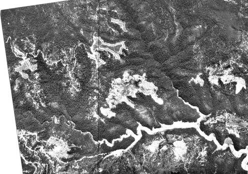
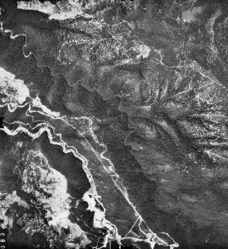
Steep Hollow-Greenhorn Creek. Greenhorn Creek-Steep Hollow. Series of aerial photos, no date.
Steep Hollow-Greenhorn Creek. Greenhorn Creek-Steep Hollow. Series of aerial photos, no date.
PIC 5-N 81-BACK:
[No associated photo or description available].
[No associated photo or description available].
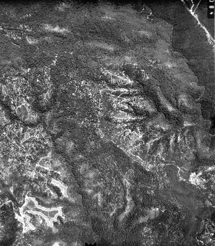
PIC 5-N 82:
[No description of available].
[No description of available].
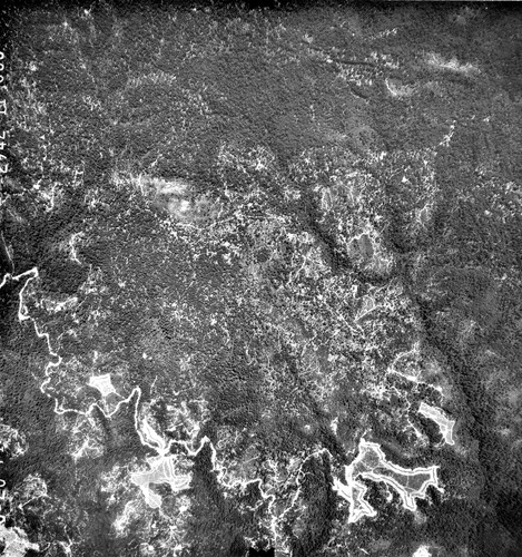
PIC 5-N 83:
[No description of available].
[No description of available].
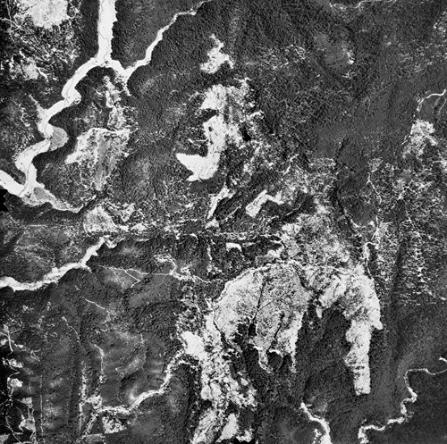
PIC 5-N 84:
[No description of available].
[No description of available].
PIC 5-N 85:
[No description of available].
[No description of available].
PIC 5-N 86:
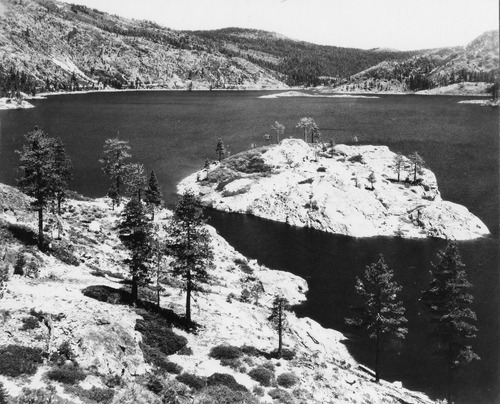
Bowman Lake. Overview of lake.
Bowman Lake. Overview of lake.
PIC 5-N-87:
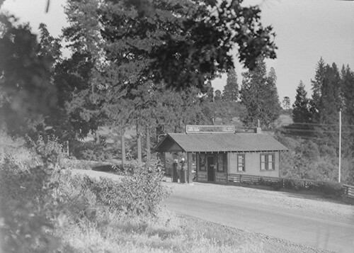
Town Talk Service Station. Ca. 1930's? visible pumps.
Town Talk Service Station. Ca. 1930's? visible pumps.
PIC 5-N 88:
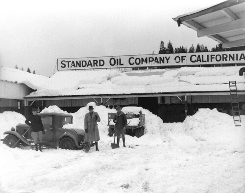
Standard Oil Co. of CA. Town Talk. Town Talk distribution plant, snow, ca. 1920"s. Ca. 1920's Standard Oil Co. of Ca distribution.
Standard Oil Co. of CA. Town Talk. Town Talk distribution plant, snow, ca. 1920"s. Ca. 1920's Standard Oil Co. of Ca distribution.
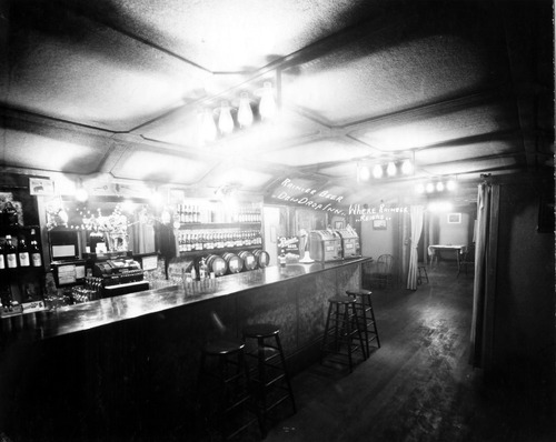
PIC 5-N 89A:
Dew Drop Inn. Interior of bar.
Dew Drop Inn. Interior of bar.
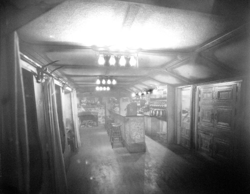
PIC 5-N 89B:
Dew Drop Inn. Another view of bar interior.
Dew Drop Inn. Another view of bar interior.
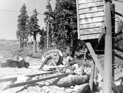
PIC 5-N 90A:
Donner Ski Ranch. 1948 construction views.
Donner Ski Ranch. 1948 construction views.

PIC 5-N 90 A-Q:
Donner Ski Ranch. 1948 construction views.
Donner Ski Ranch. 1948 construction views.
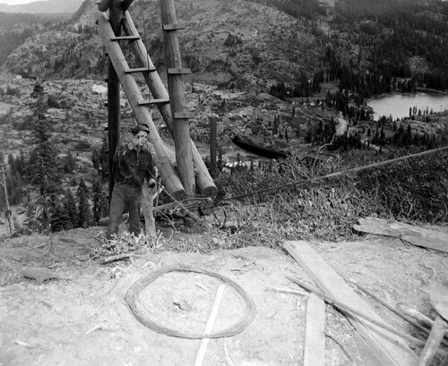
PIC 5-N 90B:
Donner Ski Ranch. 1948 construction views.
Donner Ski Ranch. 1948 construction views.
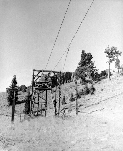
PIC 5-N 90C:
Donner Ski Ranch. 1948 construction views.
Donner Ski Ranch. 1948 construction views.
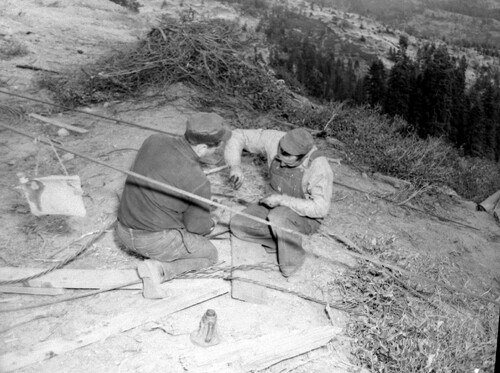
PIC 5-N 90D:
Donner Ski Ranch. 1948 construction views.
Donner Ski Ranch. 1948 construction views.
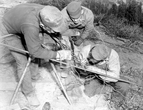
PIC 5-N 90E:
Donner Ski Ranch. 1948 construction views.
Donner Ski Ranch. 1948 construction views.
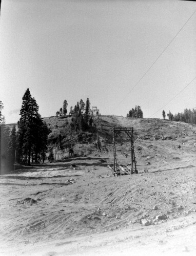
PIC 5-N 90F:
Donner Ski Ranch. 1948 construction views.
Donner Ski Ranch. 1948 construction views.
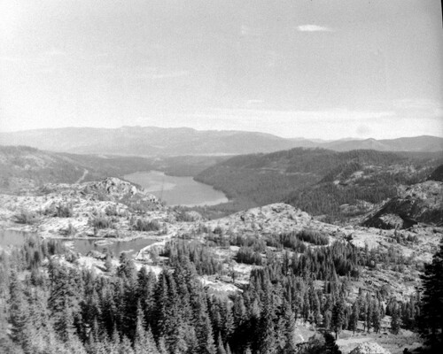
PIC 5-N 90G:
Donner Ski Ranch. 1948 construction views.
Donner Ski Ranch. 1948 construction views.
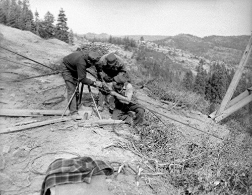
PIC 5-N 90H:
Donner Ski Ranch. 1948 construction views.
Donner Ski Ranch. 1948 construction views.
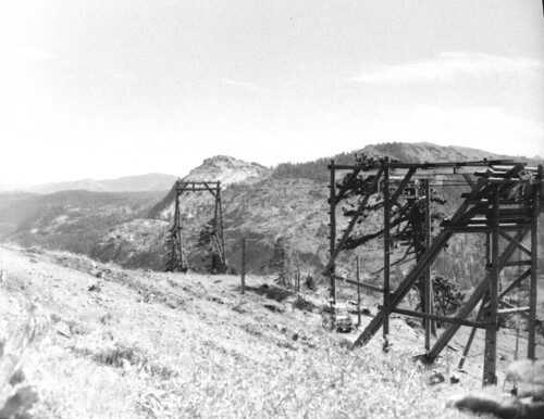
PIC 5-N 90I:
Donner Ski Ranch. 1948 construction views.
Donner Ski Ranch. 1948 construction views.
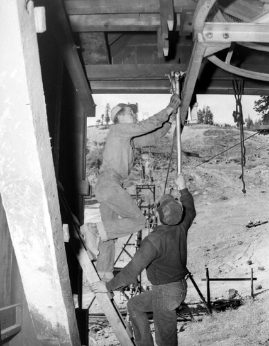
PIC 5-N 90J:
Donner Ski Ranch. 1948 construction views.
Donner Ski Ranch. 1948 construction views.
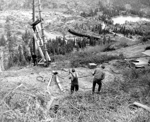
PIC 5-N 90K:
Donner Ski Ranch. 1948 construction views.
Donner Ski Ranch. 1948 construction views.
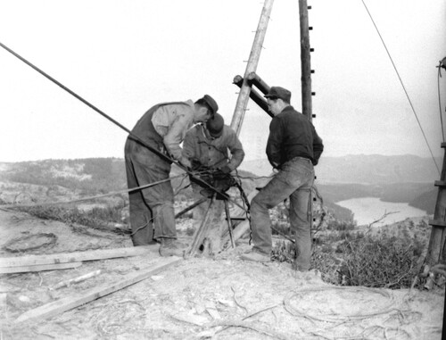
PIC 5-N 90L:
Donner Ski Ranch. 1948 construction views.
Donner Ski Ranch. 1948 construction views.
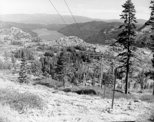
PIC 5-N 90M:
Donner Ski Ranch. 1948 construction views.
Donner Ski Ranch. 1948 construction views.
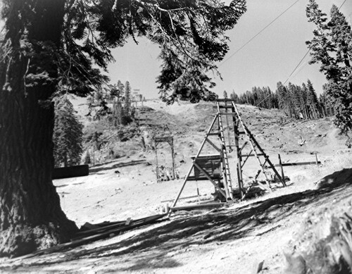
PIC 5-N 90N:
Donner Ski Ranch. 1948 construction views.
Donner Ski Ranch. 1948 construction views.
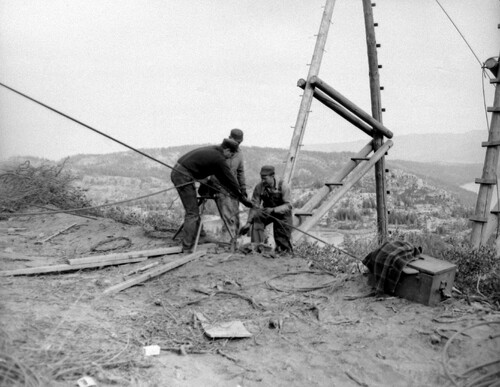
PIC 5-N 90O:
Donner Ski Ranch. 1948 construction views.
Donner Ski Ranch. 1948 construction views.
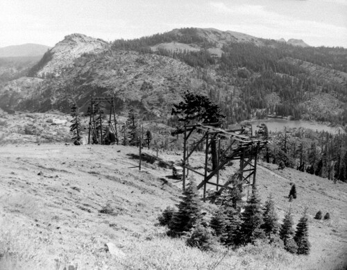
PIC 5-N 90P:
Donner Ski Ranch. 1948 construction views.
Donner Ski Ranch. 1948 construction views.
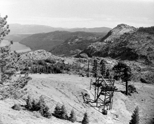
PIC 5-N 90Q:
Donner Ski Ranch. 1948 construction views.
Donner Ski Ranch. 1948 construction views.
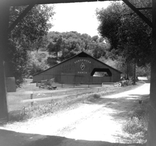
PIC 5-N 91 A & B:
Ponderosa Ranch. 2 views of barn with name on roof etc.
Ponderosa Ranch. 2 views of barn with name on roof etc.
PIC 5-N 91A-BACK:
[No associated photo or description available].
[No associated photo or description available].
PIC 5-N 91B-BACK:
[No associated photo or description available].
[No associated photo or description available].
PIC 5-N 92:
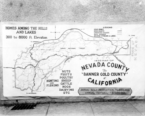
Nevada County Map. 1933 tourist/advertising map.
Nevada County Map. 1933 tourist/advertising map.
PIC 5-N 93A:
Lower Colfax Rd., 12218. 1955, Elmer Robinson house (S.F. Mayor).
Lower Colfax Rd., 12218. 1955, Elmer Robinson house (S.F. Mayor).

PIC 5-N 93A-O:
Lower Colfax Rd., 12218. 1955, Elmer Robinson house (S.F. Mayor).
Lower Colfax Rd., 12218. 1955, Elmer Robinson house (S.F. Mayor).
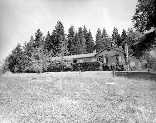
PIC 5-N 93B:
Lower Colfax Rd., 12218. 1955, Elmer Robinson house (S.F. Mayor).
Lower Colfax Rd., 12218. 1955, Elmer Robinson house (S.F. Mayor).
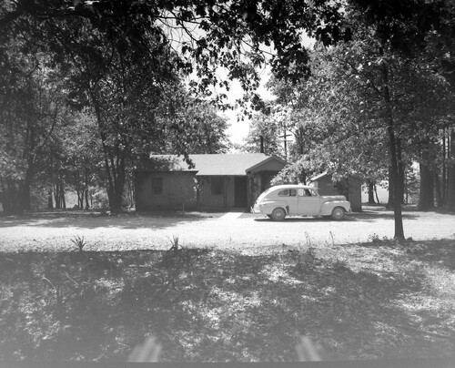
PIC 5-N 93C:
Lower Colfax Rd., 12218. 1955, Elmer Robinson house (S.F. Mayor).
Lower Colfax Rd., 12218. 1955, Elmer Robinson house (S.F. Mayor).
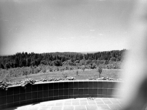
PIC 5-N 93D:
Lower Colfax Rd., 12218. 1955, Elmer Robinson house (S.F. Mayor).
Lower Colfax Rd., 12218. 1955, Elmer Robinson house (S.F. Mayor).

PIC 5-N 93E:
Lower Colfax Rd., 12218. 1955, Elmer Robinson house (S.F. Mayor).
Lower Colfax Rd., 12218. 1955, Elmer Robinson house (S.F. Mayor).
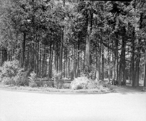
PIC 5-N 93F:
Lower Colfax Rd., 12218. 1955, Elmer Robinson house (S.F. Mayor).
Lower Colfax Rd., 12218. 1955, Elmer Robinson house (S.F. Mayor).
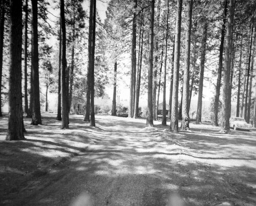
PIC 5-N 93G:
Lower Colfax Rd., 12218. 1955, Elmer Robinson house (S.F. Mayor).
Lower Colfax Rd., 12218. 1955, Elmer Robinson house (S.F. Mayor).
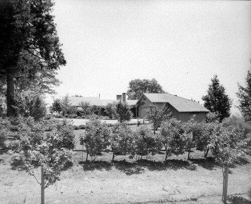
PIC 5-N 93H:
Lower Colfax Rd., 12218. 1955, Elmer Robinson house (S.F. Mayor).
Lower Colfax Rd., 12218. 1955, Elmer Robinson house (S.F. Mayor).
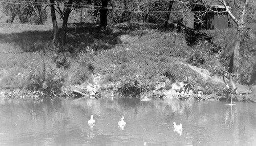
PIC 5-N 93I:
Lower Colfax Rd., 12218. 1955, Elmer Robinson house (S.F. Mayor).
Lower Colfax Rd., 12218. 1955, Elmer Robinson house (S.F. Mayor).
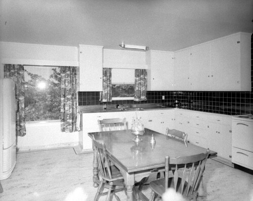
PIC 5-N 93J:
Lower Colfax Rd., 12218. 1955, Elmer Robinson house (S.F. Mayor).
Lower Colfax Rd., 12218. 1955, Elmer Robinson house (S.F. Mayor).
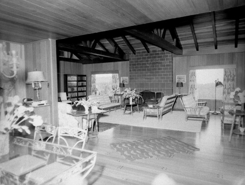
PIC 5-N 93K:
Lower Colfax Rd., 12218. 1955, Elmer Robinson house (S.F. Mayor).
Lower Colfax Rd., 12218. 1955, Elmer Robinson house (S.F. Mayor).
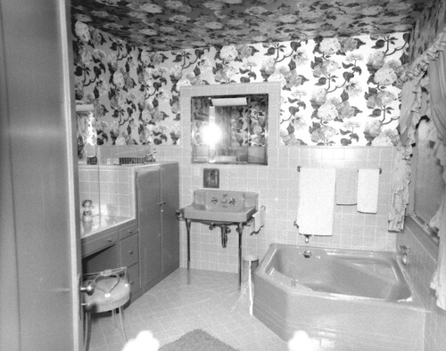
PIC 5-N 93L:
Lower Colfax Rd., 12218. 1955, Elmer Robinson house (S.F. Mayor).
Lower Colfax Rd., 12218. 1955, Elmer Robinson house (S.F. Mayor).
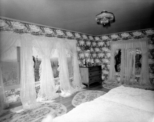
PIC 5-N 93M:
Lower Colfax Rd., 12218. 1955, Elmer Robinson house (S.F. Mayor).
Lower Colfax Rd., 12218. 1955, Elmer Robinson house (S.F. Mayor).
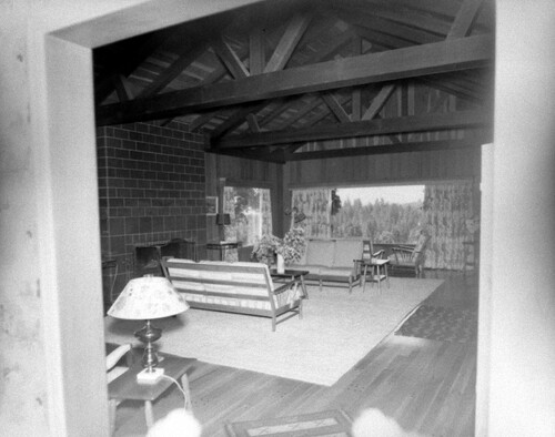
PIC 5-N 93N:
Lower Colfax Rd., 12218. 1955, Elmer Robinson house (S.F. Mayor).
Lower Colfax Rd., 12218. 1955, Elmer Robinson house (S.F. Mayor).
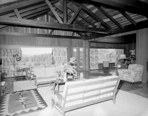
PIC 5-N 93O:
Lower Colfax Rd., 12218. 1955, Elmer Robinson house (S.F. Mayor).
Lower Colfax Rd., 12218. 1955, Elmer Robinson house (S.F. Mayor).
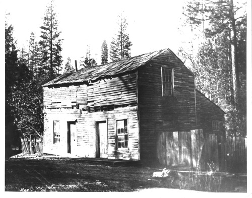
PIC 5-N 94:
[No description of available].
[No description of available].
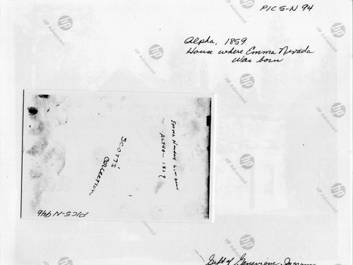
PIC 5-N 94B (2):
[No description of available].
[No description of available].
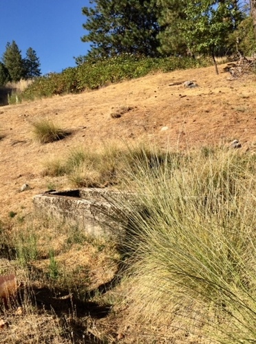
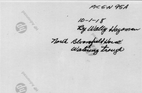
PIC 5-N 95A:
Horse water trough. 10-1-2018, North Bloomfield Rd.
Horse water trough. 10-1-2018, North Bloomfield Rd.
PIC 5-N 95A-BACK:
[No associated photo or description available].
[No associated photo or description available].

PIC 5-N 95 A-D:
Horse water trough. 10-1-2018, North Bloomfield Rd.
Horse water trough. 10-1-2018, North Bloomfield Rd.
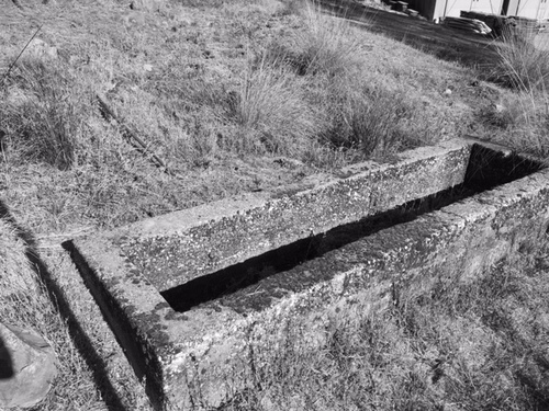
PIC 5-N 95B:
Horse water trough. 10-1-2018, North Bloomfield Rd.
Horse water trough. 10-1-2018, North Bloomfield Rd.
PIC 5-N 95B-BACK:
[No associated photo or description available].
[No associated photo or description available].
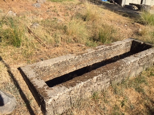
PIC 5-N 95C:
Horse water trough. 10-1-2018, North Bloomfield Rd.
Horse water trough. 10-1-2018, North Bloomfield Rd.
PIC 5-N 95C-BACK:
[No associated photo or description available].
[No associated photo or description available].
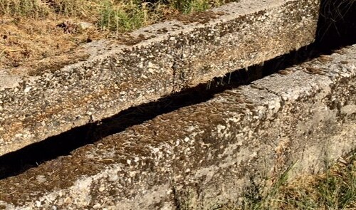
PIC 5-N 95D:
Horse water trough. 10-1-2018, North Bloomfield Rd.
Horse water trough. 10-1-2018, North Bloomfield Rd.
PIC 5-N 95D-BACK:
[No associated photo or description available].
[No associated photo or description available].
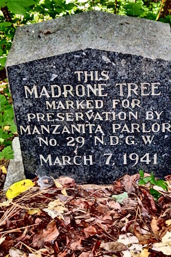
PIC 5-N 96A:
Madrone Tree Historical Marker. Placed 1941 by N.D.G.W.
Madrone Tree Historical Marker. Placed 1941 by N.D.G.W.

PIC 5-N 96 A-D:
Madrone Tree Historical Marker. Placed 1941 by N.D.G.W.
Madrone Tree Historical Marker. Placed 1941 by N.D.G.W.
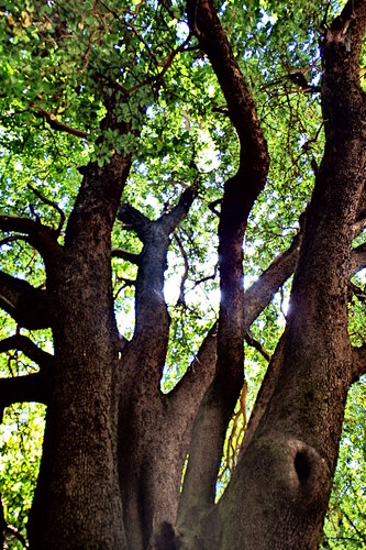
PIC 5-N 96B:
Madrone Tree Historical Marker. Placed 1941 by N.D.G.W.
Madrone Tree Historical Marker. Placed 1941 by N.D.G.W.
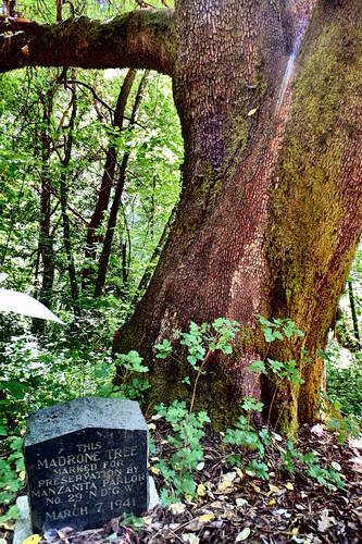
PIC 5-N 96C:
Madrone Tree Historical Marker. Placed 1941 by N.D.G.W.
Madrone Tree Historical Marker. Placed 1941 by N.D.G.W.
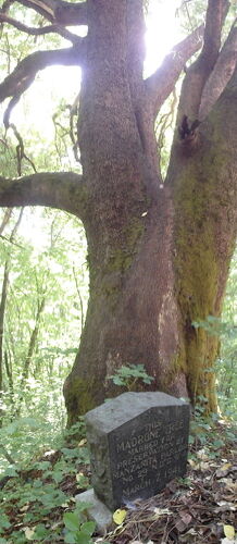
PIC 5-N 96D:
Madrone Tree Historical Marker. Placed 1941 by N.D.G.W.
Madrone Tree Historical Marker. Placed 1941 by N.D.G.W.
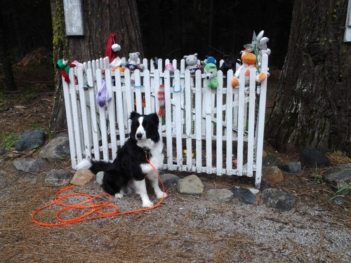
PIC 5-N 97:
Lone Grave (Hyw. 20). Kaylie. Grave with "Kaylie" forensic search dog. Forensic search dog signaling body scent.
Lone Grave (Hyw. 20). Kaylie. Grave with "Kaylie" forensic search dog. Forensic search dog signaling body scent.
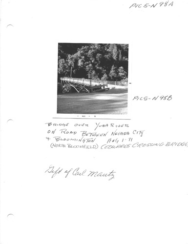
PIC 5-N 98A & B:
Edwards Crossing Bridge. 1971, shows steel arch.
Edwards Crossing Bridge. 1971, shows steel arch.
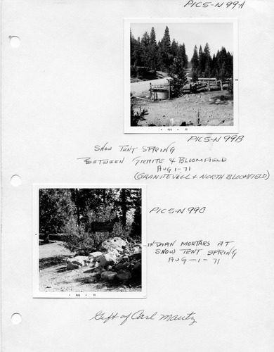
PIC 5-N 99A:
Snow Tent Spring. 1971 Indian Mortars.
Snow Tent Spring. 1971 Indian Mortars.

PIC 5-N 99A & B:
Snow Tent Spring. 1971 between Graniteville & North Bloomfield.
Snow Tent Spring. 1971 between Graniteville & North Bloomfield.

PIC 5-N 99A & C:
Snow Tent Spring. 1971 Indian Mortars.
Snow Tent Spring. 1971 Indian Mortars.
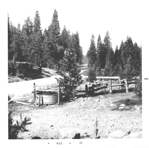
PIC 5-N 99B:
Snow Tent Spring. 1971 Indian Mortars.
Snow Tent Spring. 1971 Indian Mortars.
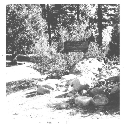
PIC 5-N 99C:
Snow Tent Spring. 1971 Indian Mortars.
Snow Tent Spring. 1971 Indian Mortars.
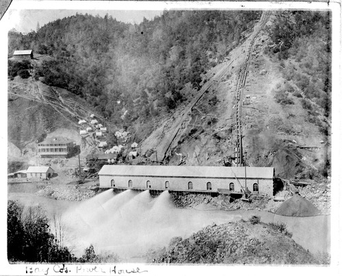
PIC 5-N 100:
Bay Counties Power House. Large building, in operation.
Bay Counties Power House. Large building, in operation.
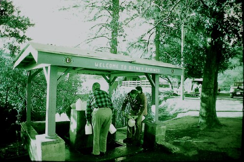
PIC 5-N 101:
Bitney Springs. 4 people filling jugs, Lions Club logo.
Bitney Springs. 4 people filling jugs, Lions Club logo.
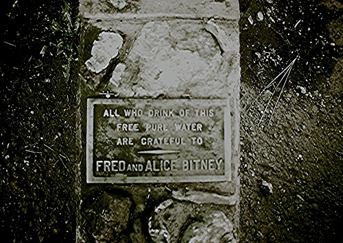
PIC 5-N 102:
Bitney Springs. Bitney, Fred & Alice. Plaque, namind Fred & Alice Bitney. Bitney Springs named for them.
Bitney Springs. Bitney, Fred & Alice. Plaque, namind Fred & Alice Bitney. Bitney Springs named for them.


