Enter a name, company, place or keywords to search across this item. Then click "Search" (or hit Enter).
Collection: Maps > Nevada County Recorders Maps
Nevada County Recorders Survey Maps Book 15 (274 images)
Zoom Out
Zoom In (Please allow time for high-res images to load)
Zoom: 100%
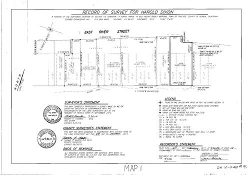
Record of Survey Book 15, pg. 001 (2011)
NC Recorders Map Survey 15-001:
Dixon, Harold. River Street, East. Sierra Pacific. Stevens, W.. T17N R16E Sec. 14. Truckee River. Carroll/Fickle. Stevens, J.
NC Recorders Map Survey 15-001:
Dixon, Harold. River Street, East. Sierra Pacific. Stevens, W.. T17N R16E Sec. 14. Truckee River. Carroll/Fickle. Stevens, J.
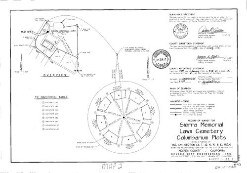
Record of Survey Book 15, pg. 002 (2011)
NC Recorders Map Survey 15-002:
Sierra Memorial Lawn Cemetery Columbarium Plot. T16N R8E Sec. 13. Bost Ave.
NC Recorders Map Survey 15-002:
Sierra Memorial Lawn Cemetery Columbarium Plot. T16N R8E Sec. 13. Bost Ave.
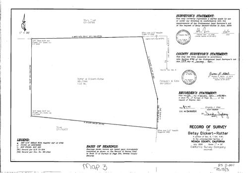
Record of Survey Book 15, pg. 003 (2011)
NC Recorders Map Survey 15-003:
Dickert-Ratter, Betsy. T15N R9E Sec. 6
NC Recorders Map Survey 15-003:
Dickert-Ratter, Betsy. T15N R9E Sec. 6
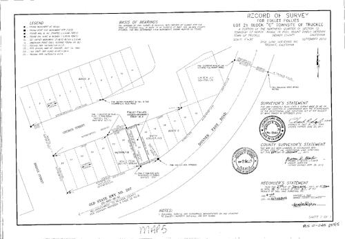
Record of Survey Book 15, pg. 005 (2011)
NC Recorders Map Survey 15-005:
Follet Follies. Truckee Block C Lot 21. Church St. (Truckee). Donner Pass Rd.. Bridge St. (Truckee). Tanner, Mark
NC Recorders Map Survey 15-005:
Follet Follies. Truckee Block C Lot 21. Church St. (Truckee). Donner Pass Rd.. Bridge St. (Truckee). Tanner, Mark
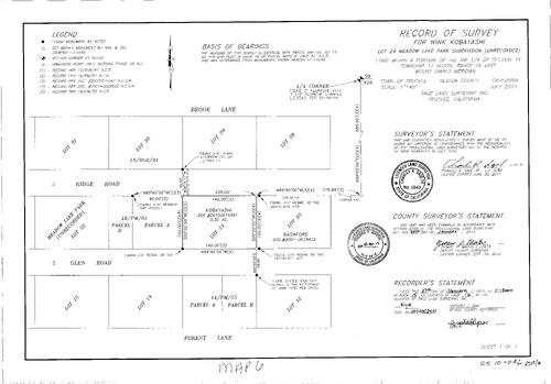
Record of Survey Book 15, pg. 006 (2011)
NC Recorders Map Survey 15-006:
Kobayashi, Wink. Meadow Lake Park Subdivision Lot 24. T17N R16E Sec. 16. Brook Lane. Ridge Road (Meadow Lake). Glen Road. Parcel Map 16-81 parcel A & B. Parcel Map 15-55 parcel A & B
NC Recorders Map Survey 15-006:
Kobayashi, Wink. Meadow Lake Park Subdivision Lot 24. T17N R16E Sec. 16. Brook Lane. Ridge Road (Meadow Lake). Glen Road. Parcel Map 16-81 parcel A & B. Parcel Map 15-55 parcel A & B
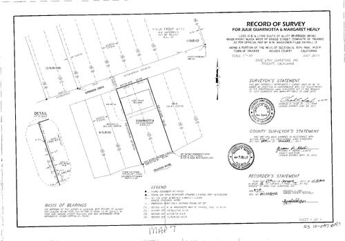
Record of Survey Book 15, pg. 007 (2011)
NC Recorders Map Survey 15-007:
Guarnotta, Julie. Healy, Margaret. Truckee River. Riverside Drive
NC Recorders Map Survey 15-007:
Guarnotta, Julie. Healy, Margaret. Truckee River. Riverside Drive
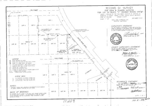
Record of Survey Book 15, pg. 008 (2011)
NC Recorders Map Survey 15-008:
de Sousa, John & Sharon. Donner Woods Unit #1 Block C Lot 24. Fir Street. South Shore Dr.. Pine Street (Truckee)
NC Recorders Map Survey 15-008:
de Sousa, John & Sharon. Donner Woods Unit #1 Block C Lot 24. Fir Street. South Shore Dr.. Pine Street (Truckee)
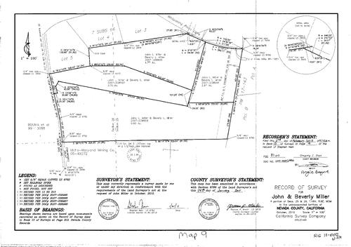
Record of Survey Book 15, pg. 009 (2011)
NC Recorders Map Survey 15-009:
Miller, John & Beverly. T16N R8E Sec. 25. T16N R8E Sec. 26. Parcel Map Book 17, pg. 143 parcel A & B. Idaho-Maryland Mining Co.. Whispering Pines Lane
NC Recorders Map Survey 15-009:
Miller, John & Beverly. T16N R8E Sec. 25. T16N R8E Sec. 26. Parcel Map Book 17, pg. 143 parcel A & B. Idaho-Maryland Mining Co.. Whispering Pines Lane
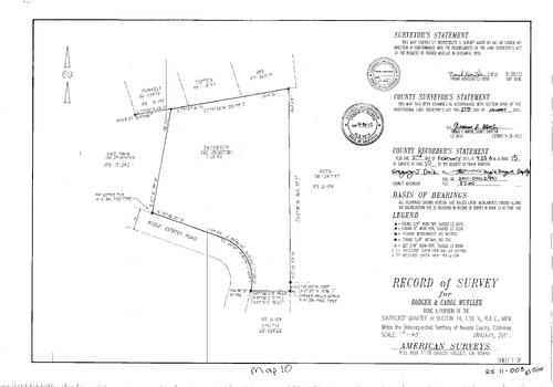
Record of Survey Book 15, pg. 010 (2011)
NC Recorders Map Survey 15-010:
Main, H. & J.. Ridge Estates Road. Mueller, Rodger & Carol. T16N R8E Sec. 14
NC Recorders Map Survey 15-010:
Main, H. & J.. Ridge Estates Road. Mueller, Rodger & Carol. T16N R8E Sec. 14
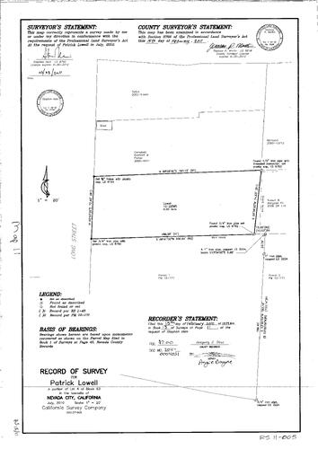
Record of Survey Book 15, pg. 011 (2011)
NC Recorders Map Survey 15-011:
NC Recorders Map Survey 15-011:
Lowell, Patrick. Long Street. Nevada City Block 63 lot 4. Parcel Map 10-171, parcel 1, 2. Eli,... See More
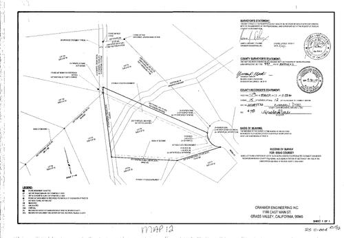
Record of Survey Book 15, pg. 012 (2011)
NC Recorders Map Survey 15-012:
Coursey, Doug. Alta Sierra Estates 14-B lot 75, 76. Ancona Court
NC Recorders Map Survey 15-012:
Coursey, Doug. Alta Sierra Estates 14-B lot 75, 76. Ancona Court
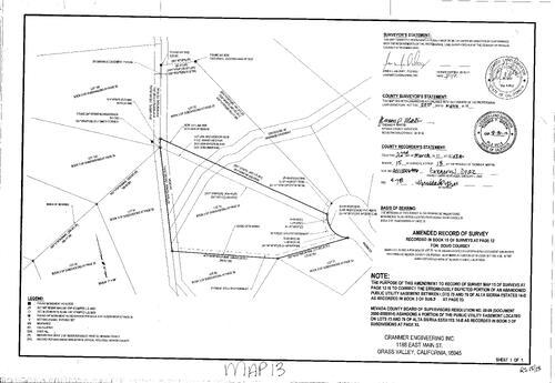
Record of Survey Book 15, pg. 013 (2011)
NC Recorders Map Survey 15-013:
Coursey, Doug. Record of Survey Book 15, pg. 12 (Amended). Ancona St.. Subdivision Book 3, pg. 33 lot75-77,90-92, 102-103
NC Recorders Map Survey 15-013:
Coursey, Doug. Record of Survey Book 15, pg. 12 (Amended). Ancona St.. Subdivision Book 3, pg. 33 lot75-77,90-92, 102-103
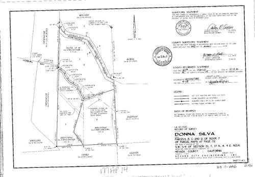
Record of Survey Book 15, pg. 014 (2011)
NC Recorders Map Survey 15-014:
Silva, Donna. Parcel Map Book 7, pg. 72 parcel B,C,D. T17N R9E Sec. 31. Honeysuckle Way. Homburg Way
NC Recorders Map Survey 15-014:
Silva, Donna. Parcel Map Book 7, pg. 72 parcel B,C,D. T17N R9E Sec. 31. Honeysuckle Way. Homburg Way
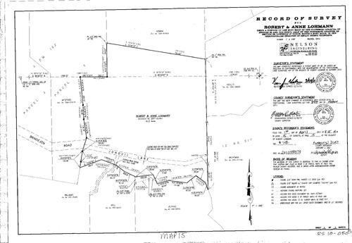
Record of Survey Book 15, pg. 015 (2011)
NC Recorders Map Survey 15-015:
Lohmann, Robert & Anne. Parcel Map Book 3, pg. 182 parcel 3, 4. Brindlejon Road. Jonquil Lane. Rock Creek. T17N R9E Sec. 28. T17N R9E Sec. 33
NC Recorders Map Survey 15-015:
Lohmann, Robert & Anne. Parcel Map Book 3, pg. 182 parcel 3, 4. Brindlejon Road. Jonquil Lane. Rock Creek. T17N R9E Sec. 28. T17N R9E Sec. 33
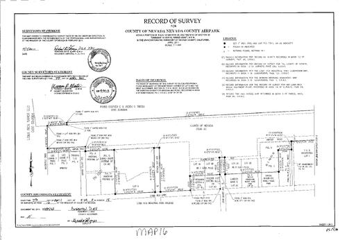
Record of Survey Book 15, pg. 016 (2011)
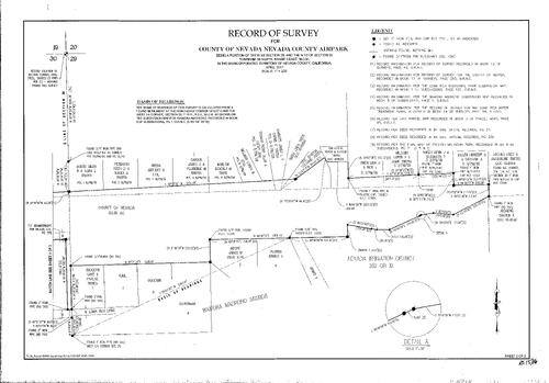
NC Recorders Map Survey 15-016-1:
NC Recorders Map Survey 15-016-1:
Loma Rica Ranch LLC. T16N R9E Sec. 29. T16N R9E Sec. 30. Parks, Stephen E. & Judith D.. Macboyle Dr.. Loma Rica Dr.. Administration Way. John Bauer Ave.. Loma Rica Industrial Park. Parcel Map Book 11, pg. 227... See More
Record of Survey Book 15, pg. 016 (2011)
NC Recorders Map Survey 15-016-2:
NC Recorders Map Survey 15-016-2:
Loma Rica Ranch LLC. T16N R9E Sec. 29. T16N R9E Sec. 30. Parks, Stephen E. & Judith D.. Macboyle Dr.. Loma Rica Dr.. Administration Way. John Bauer Ave.. Loma Rica Industrial Park. Parcel Map Book 11, pg. 227... See More
Record of Survey Book 15, pg. 017 (2011)
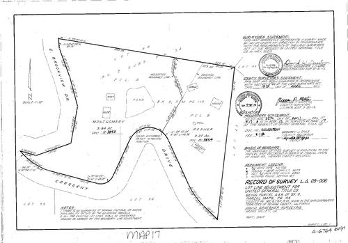
NC Recorders Map Survey 15-017:
United General title Co.. Parcel Map Book 6, pg. 155 parcel A & B. Brookview Dr., East. Crescent Dr.
NC Recorders Map Survey 15-017:
United General title Co.. Parcel Map Book 6, pg. 155 parcel A & B. Brookview Dr., East. Crescent Dr.
Record of Survey Book 15, pg. 018 (2011)
NC Recorders Map Survey 15-018-1:
NC Recorders Map Survey 15-018-1:
State of California. Record of Survey Book 8, pg. 49 parcel 3, 4. Parcel Map Book 4, pg. 109 parcel A & B. T16N R8E Sec. 26. T16N R8E Sec. 34. T16N R8E Sec. 35. Empire St., East. State Highway 174. Race St... See More

Record of Survey Book 15, pg. 018 (2011)
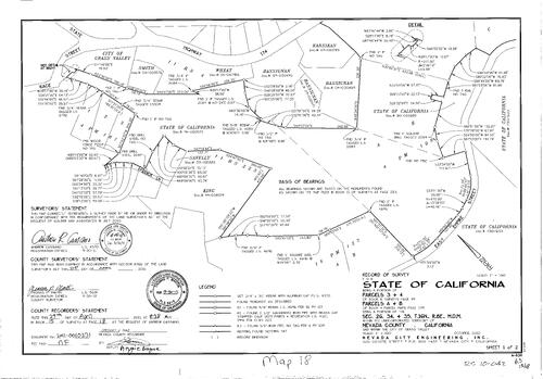
NC Recorders Map Survey 15-018-2:
NC Recorders Map Survey 15-018-2:
State of California. Record of Survey Book 8, pg. 49 parcel 3, 4. Parcel Map Book 4, pg. 109 parcel A & B. T16N R8E Sec. 26. T16N R8E Sec. 34. T16N R8E Sec. 35. Empire St., East. State Highway 174. Race St... See More
Record of Survey Book 15, pg. 019 (2011)
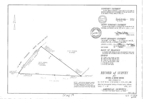
NC Recorders Map Survey 15-019:
Hensel, Russell & Bonnie. T15N R8E Sec. 11. La Barr Meadows Rd.. Parcel Map Book 18, pg. 350 parcel 2, 3. Sciacca, C. & J.
NC Recorders Map Survey 15-019:
Hensel, Russell & Bonnie. T15N R8E Sec. 11. La Barr Meadows Rd.. Parcel Map Book 18, pg. 350 parcel 2, 3. Sciacca, C. & J.
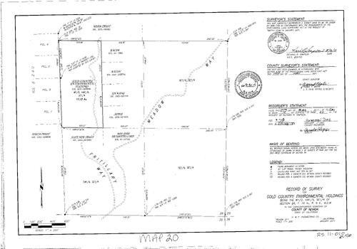
Record of Survey Book 15, pg. 020 (2011)
NC Recorders Map Survey 15-020:
Gold Country Environmental Holdings. T16N R9E Sec. 26. Lewis, Timothy. Meadow Way. Fritillary Way
NC Recorders Map Survey 15-020:
Gold Country Environmental Holdings. T16N R9E Sec. 26. Lewis, Timothy. Meadow Way. Fritillary Way
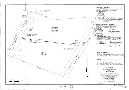
Record of Survey Book 15, pg. 021 (2011)
NC Recorders Map Survey 15-021:
Webb, James. Parcel Map Book 4, pg. 173 parcel 2, 3. Snowbourne Dr.. Blazing Star Rd.
NC Recorders Map Survey 15-021:
Webb, James. Parcel Map Book 4, pg. 173 parcel 2, 3. Snowbourne Dr.. Blazing Star Rd.
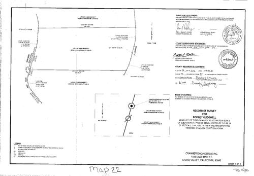
Record of Survey Book 15, pg. 022 (2011)
NC Recorders Map Survey 15-022:
Glidewell, Rodney. Subdivision Book 5, pg. 25 lot 4, 5, 6. Hiers Property. T14N R8E Sec. 2. Hiers Rd.. Killian Rd.
NC Recorders Map Survey 15-022:
Glidewell, Rodney. Subdivision Book 5, pg. 25 lot 4, 5, 6. Hiers Property. T14N R8E Sec. 2. Hiers Rd.. Killian Rd.
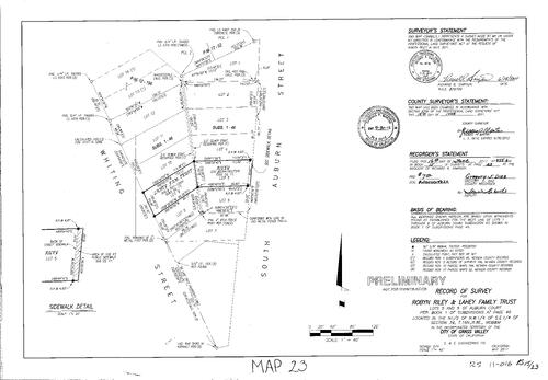
Record of Survey Book 15, pg. 023 (2011)
NC Recorders Map Survey 15-023:
Riley, Robyn. Lahey Family Trust. Subdivision Book 1, pg. 46 lot 5, 9. T16N R8E Sec. 34. Whiting St.. Auburn St., South. Parcel Map Book 12, pg. 194. Parcel Map Book 17, pg. 52 parcel 1, 2
NC Recorders Map Survey 15-023:
Riley, Robyn. Lahey Family Trust. Subdivision Book 1, pg. 46 lot 5, 9. T16N R8E Sec. 34. Whiting St.. Auburn St., South. Parcel Map Book 12, pg. 194. Parcel Map Book 17, pg. 52 parcel 1, 2
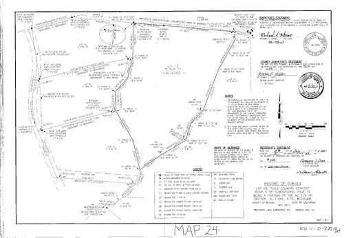
Record of Survey Book 15, pg. 24 (2011)
NC Recorders Map Survey 15-024:
Record of Survey Book 15, pg. 24. Clayton Rd.. Weggens Way. Subdivision Book 5, pg. 72 Lot 43. Parcel Map Book 13, pg. 84. T14N R7E Sec. 14. Cole Country Estates
NC Recorders Map Survey 15-024:
Record of Survey Book 15, pg. 24. Clayton Rd.. Weggens Way. Subdivision Book 5, pg. 72 Lot 43. Parcel Map Book 13, pg. 84. T14N R7E Sec. 14. Cole Country Estates
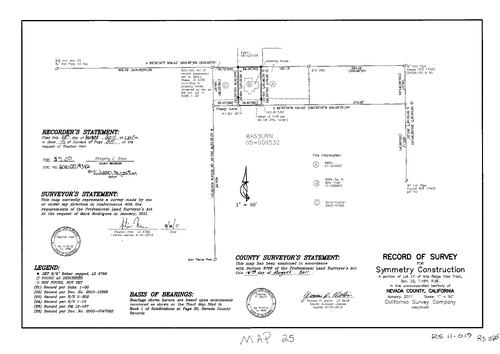
Record of Survey Book 15, pg. 25 (2011)
NC Recorders Map Survey 15-025:
Record of Survey Book 15, pg. 25. Symmetry Construction. Alta Ridge View Tract Lot 11. T16N R8E Sec. 22. Frosty Lane
NC Recorders Map Survey 15-025:
Record of Survey Book 15, pg. 25. Symmetry Construction. Alta Ridge View Tract Lot 11. T16N R8E Sec. 22. Frosty Lane
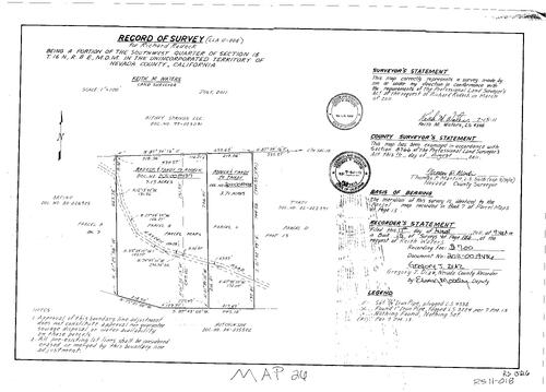
Record of Survey Book 15, pg. 26 (2011)
NC Recorders Map Survey 15-026:
Record of Survey Book 15, pg. 26. Rodeck, Richard. T16N R8E Sec. 18. Hayden Rd.. Parcel Map Book 7, pg. 13
NC Recorders Map Survey 15-026:
Record of Survey Book 15, pg. 26. Rodeck, Richard. T16N R8E Sec. 18. Hayden Rd.. Parcel Map Book 7, pg. 13
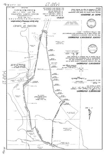
Record of Survey Book 15, pg. 27 (2011)
NC Recorders Map Survey 15-027-1:
NC Recorders Map Survey 15-027-1:
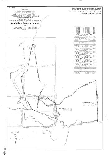
Record of Survey Book 15, pg. 27. San Juan Mining Corporation. T17N R19E Lot 46 Sec. 4, 5, 9. Union... See More
Record of Survey Book 15, pg. 27 (2011)
NC Recorders Map Survey 15-027-2:
NC Recorders Map Survey 15-027-2:
Record of Survey Book 15, pg. 27. San Juan Mining Corporation. T17N R19E Lot 46 Sec. 4, 5, 9. Union... See More
Record of Survey Book 15, pg. 28 (2011)
NC Recorders Map Survey 15-028:
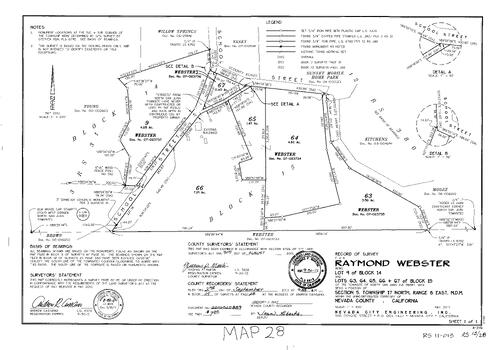
Record of Survey Book 15, pg. 28. Webster, Raymond. North San Juan Block 14, lot 9. North San Juan Block 15, Lot 63-67. T17N R8E Sec. 5. School St. (North San Juan). Record of Survey Book 3, pg. 31
NC Recorders Map Survey 15-028:
Record of Survey Book 15, pg. 28. Webster, Raymond. North San Juan Block 14, lot 9. North San Juan Block 15, Lot 63-67. T17N R8E Sec. 5. School St. (North San Juan). Record of Survey Book 3, pg. 31
Record of Survey Book 15, pg. 29 (2011)
NC Recorders Map Survey 15-029:
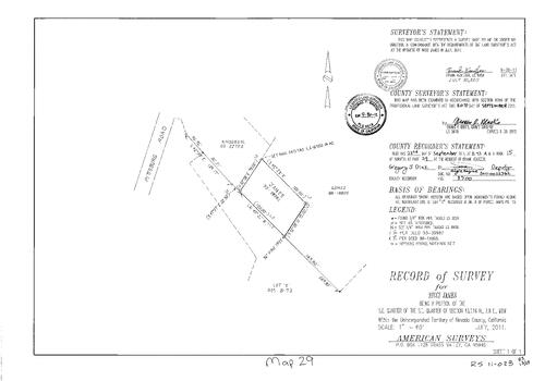
Record of Survey Book 15, pg. 29. James, Nicci. T16N R8E sec. 13. Pittsburg Rd.
NC Recorders Map Survey 15-029:
Record of Survey Book 15, pg. 29. James, Nicci. T16N R8E sec. 13. Pittsburg Rd.
Record of Survey Book 15, pg. 30 (2011)
NC Recorders Map Survey 15-030:
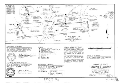
Record of Survey Book 15, pg. 30. Rushing, Rebecca L.. T16N R9E Sec. 9. Burjer Rd.. M. S. 684. Omega. St. Louis Quartz Mine. M.S. 3761. Burjer Greenwood Associates. NID Snow Mountain Ditch
NC Recorders Map Survey 15-030:
Record of Survey Book 15, pg. 30. Rushing, Rebecca L.. T16N R9E Sec. 9. Burjer Rd.. M. S. 684. Omega. St. Louis Quartz Mine. M.S. 3761. Burjer Greenwood Associates. NID Snow Mountain Ditch
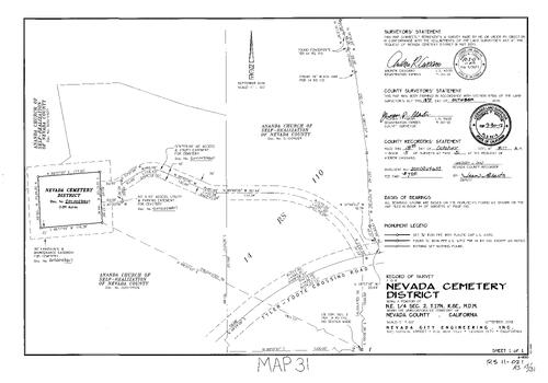
Record of Survey Book 15, pg. 31 (2011)
NC Recorders Map Survey 15-031:
Record of Survey Book 15, pg. 31. Nevada Cemetery District. T17N R8E Sec. 2. Tyler-Foote Crossing Rd.. Ananda Church of Self-Realization
NC Recorders Map Survey 15-031:
Record of Survey Book 15, pg. 31. Nevada Cemetery District. T17N R8E Sec. 2. Tyler-Foote Crossing Rd.. Ananda Church of Self-Realization
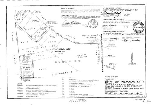
Record of Survey Book 15, pg. 32 (2011)
NC Recorders Map Survey 15-032-1:
NC Recorders Map Survey 15-032-1:
Record of Survey Book 15, pg. 32. Pioneer Park. City of Nevada City. Nevada City Townsite Block 60 Lots 1,2,3,4,7,8,9. Nimrod St.. Park Ave.. Max Solaro Dr.. T16N R9E Sec. 7. Silva Ave.. Record of Survey Book 9,... See More
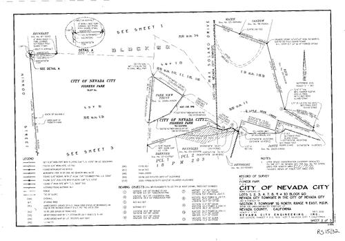
Record of Survey Book 15, pg. 32 (2011)
NC Recorders Map Survey 15-032-2:
NC Recorders Map Survey 15-032-2:
Record of Survey Book 15, pg. 32. Pioneer Park. City of Nevada City. Nevada City Townsite Block 60 Lots 1,2,3,4,7,8,9. Nimrod St.. Park Ave.. Max Solaro Dr.. T16N R9E Sec. 7. Silva Ave.. Record of Survey Book 9,... See More
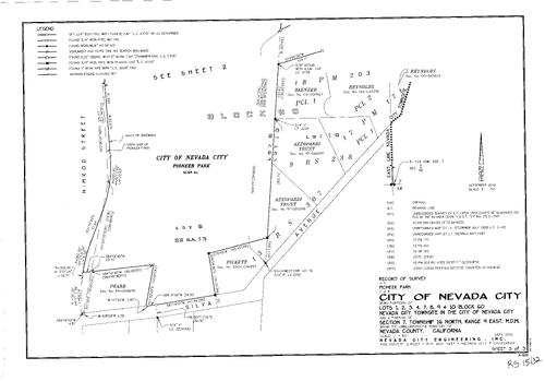
Record of Survey Book 15, pg. 32 (2011)
NC Recorders Map Survey 15-032-3:
NC Recorders Map Survey 15-032-3:
Record of Survey Book 15, pg. 32. Pioneer Park. City of Nevada City. Nevada City Townsite Block 60 Lots 1,2,3,4,7,8,9. Nimrod St.. Park Ave.. Max Solaro Dr.. T16N R9E Sec. 7. Silva Ave.. Record of Survey Book 9,... See More
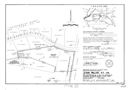
Record of Survey Book 15, pg. 33 (2011)
NC Recorders Map Survey 15-033:
Record of Survey Book 15, pg. 33. Miller, John et ux. T16N R8E Sec. 25 & 26. NID Annexation map. Whispering Pines Lane. Record of Survey Book 13, pg. 213. Subdivision Book 7, pg. 66
NC Recorders Map Survey 15-033:
Record of Survey Book 15, pg. 33. Miller, John et ux. T16N R8E Sec. 25 & 26. NID Annexation map. Whispering Pines Lane. Record of Survey Book 13, pg. 213. Subdivision Book 7, pg. 66
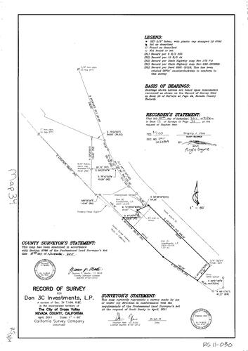
Record of Survey Book 15, pg. 34 (2011)
NC Recorders Map Survey 15-034:
NC Recorders Map Survey 15-034:
Record of Survey Book 15, pg. 34. Don 3C Investments L.P.. T16N R8E Sec. 34. Golden Center Freeway... See More
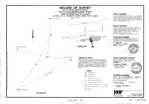
Record of Survey Book 15, pg. 35 (2011)
NC Recorders Map Survey 15-035-1:
Record of Survey Book 15, pg. 35. Scotts Flat Dam Monitoring Survey. T16N R9E Sec. 2 & 11. Scotts Flat Dam Rd.. Scotts Flat Rd.. State Highway 20
NC Recorders Map Survey 15-035-1:
Record of Survey Book 15, pg. 35. Scotts Flat Dam Monitoring Survey. T16N R9E Sec. 2 & 11. Scotts Flat Dam Rd.. Scotts Flat Rd.. State Highway 20
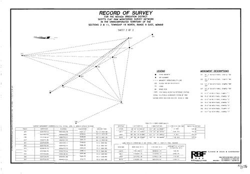
Record of Survey Book 15, pg. 35 (2011)
NC Recorders Map Survey 15-035-2:
Record of Survey Book 15, pg. 35. Scotts Flat Dam Monitoring Survey. T16N R9E Sec. 2 & 11. Scotts Flat Dam Rd.. Scotts Flat Rd.. State Highway 20
NC Recorders Map Survey 15-035-2:
Record of Survey Book 15, pg. 35. Scotts Flat Dam Monitoring Survey. T16N R9E Sec. 2 & 11. Scotts Flat Dam Rd.. Scotts Flat Rd.. State Highway 20
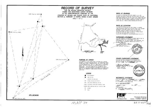
Record of Survey Book 15, pg. 36 (2011)
NC Recorders Map Survey 15-036-1:
Record of Survey Book 15, pg. 36. NID Combie Dam Monitoring Survey. T13N R8E Sec. 2
NC Recorders Map Survey 15-036-1:
Record of Survey Book 15, pg. 36. NID Combie Dam Monitoring Survey. T13N R8E Sec. 2
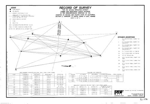
Record of Survey Book 15, pg. 36 (2011)
NC Recorders Map Survey 15-036-2:
Record of Survey Book 15, pg. 36. NID Combie Dam Monitoring Survey. T13N R8E Sec. 2
NC Recorders Map Survey 15-036-2:
Record of Survey Book 15, pg. 36. NID Combie Dam Monitoring Survey. T13N R8E Sec. 2
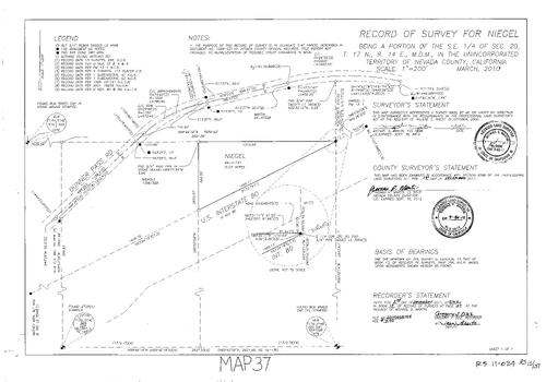
Record of Survey Book 15, pg. 37 (2011)
NC Recorders Map Survey 15-037:
Record of Survey Book 15, pg. 37. Niegel,. T17N R14E Sec. 20. Donner Pass Rd.. Interstate 80
NC Recorders Map Survey 15-037:
Record of Survey Book 15, pg. 37. Niegel,. T17N R14E Sec. 20. Donner Pass Rd.. Interstate 80
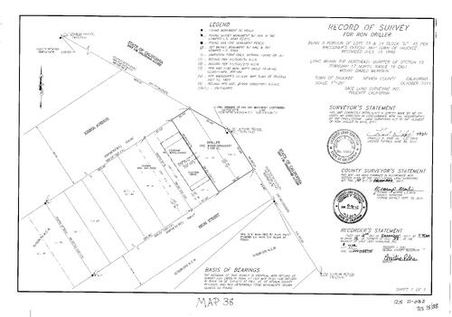
Record of Survey Book 15, pg. 38 (2011)
NC Recorders Map Survey 15-038:
Record of Survey Book 15, pg. 38. Driller, Ron. T17N R16E Sec. 15. Interstate 80. High St.. Keiser Ave.
NC Recorders Map Survey 15-038:
Record of Survey Book 15, pg. 38. Driller, Ron. T17N R16E Sec. 15. Interstate 80. High St.. Keiser Ave.
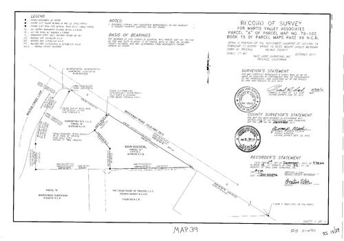
Record of Survey Book 15, pg. 39 (2011)
NC Recorders Map Survey 15-039:
Record of Survey Book 15, pg. 39. Martis Valley Associates. Parcel Map Book 15, pg. 99 parcel A. Winter Creek Loop. Brockway Rd.
NC Recorders Map Survey 15-039:
Record of Survey Book 15, pg. 39. Martis Valley Associates. Parcel Map Book 15, pg. 99 parcel A. Winter Creek Loop. Brockway Rd.
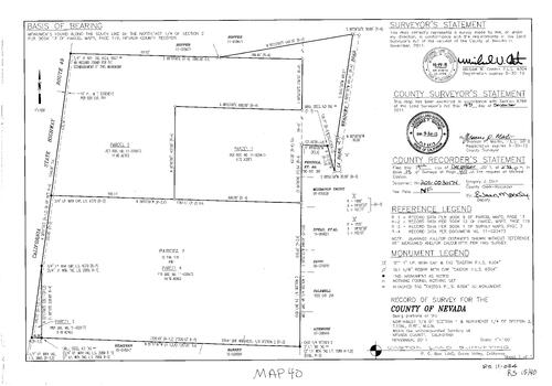
Record of Survey Book 15, pg. 40 (2011)
NC Recorders Map Survey 15-040:
Record of Survey Book 15, pg. 40. State Highway 49. La Barr Meadows Rd.. T15N R8E Sec. 1, 2. Parcel Map Book 12, pg. 179
NC Recorders Map Survey 15-040:
Record of Survey Book 15, pg. 40. State Highway 49. La Barr Meadows Rd.. T15N R8E Sec. 1, 2. Parcel Map Book 12, pg. 179
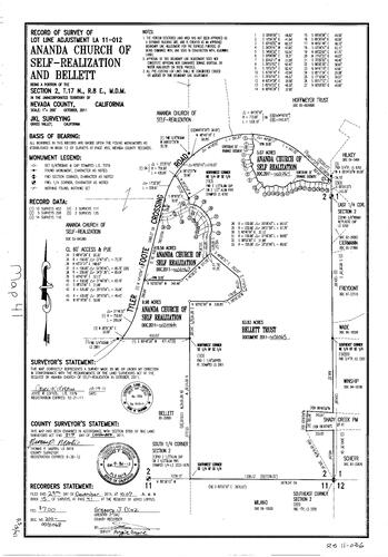
Record of Survey Book 15, pg. 41 (2011)
NC Recorders Map Survey 15-041:
NC Recorders Map Survey 15-041:
Record of Survey Book 15, pg. 41. Ananda Chruch of Self-Realization. T17N R8E Sec. 2. Tyler-Foote... See More
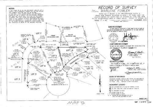
Record of Survey Book 15, pg. 42 (2012)
NC Recorders Map Survey 15-042:
Record of Survey Book 15, pg. 42. Fowler, Marlene. Subdivision Book 1, pg. 106 Block H. T16N R8E Sec. 26. Partridge Dr.. Hanging Wall Dr.
NC Recorders Map Survey 15-042:
Record of Survey Book 15, pg. 42. Fowler, Marlene. Subdivision Book 1, pg. 106 Block H. T16N R8E Sec. 26. Partridge Dr.. Hanging Wall Dr.
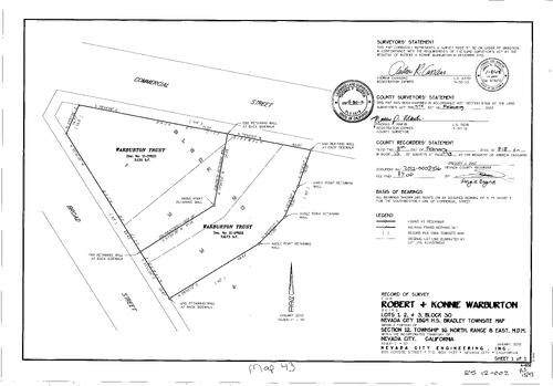
Record of Survey Book 15, pg. 43 (2012)
NC Recorders Map Survey 15-043:
Record of Survey Book 15, pg. 43. Warburton, Robert & Konnie. Nevada City Block 30 Lot 1, 2, 3. Broad St.. Commercial St.. Warburton Trust
NC Recorders Map Survey 15-043:
Record of Survey Book 15, pg. 43. Warburton, Robert & Konnie. Nevada City Block 30 Lot 1, 2, 3. Broad St.. Commercial St.. Warburton Trust
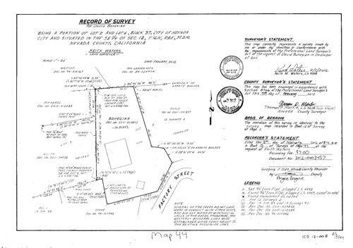
Record of Survey Book 15, pg. 44 (2012)
NC Recorders Map Survey 15-044:
Record of Survey Book 15, pg. 44. Bohegian, David. Nevada City Block 37 Lot 2, 6. T16N R8E Sec. 12. Factory St.. Record of Survey Book 12, pg. 2
NC Recorders Map Survey 15-044:
Record of Survey Book 15, pg. 44. Bohegian, David. Nevada City Block 37 Lot 2, 6. T16N R8E Sec. 12. Factory St.. Record of Survey Book 12, pg. 2
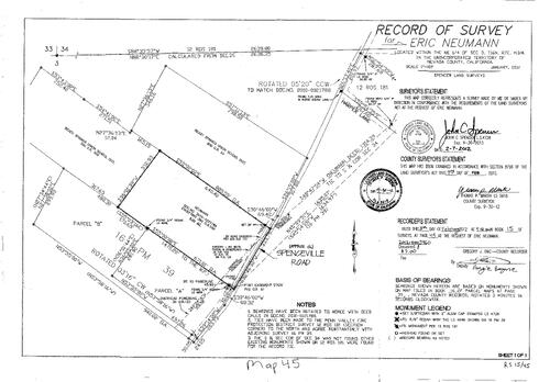
Record of Survey Book 15, pg. 45 (2012)
NC Recorders Map Survey 15-045:
Record of Survey Book 15, pg. 45. Neumann, Eric. T16N R7E Sec. 3. Parcel Map Book 16, pg. 39. Ready Springs Union School District. Spenceville Rd.. Harper Lane
NC Recorders Map Survey 15-045:
Record of Survey Book 15, pg. 45. Neumann, Eric. T16N R7E Sec. 3. Parcel Map Book 16, pg. 39. Ready Springs Union School District. Spenceville Rd.. Harper Lane
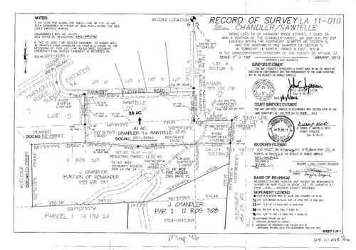
Record of Survey Book 16, pg. 046 (2016)
NC Recorders Map Survey 15-046:
NC Recorders Map Survey 15-046:
Schram, Lorinda. T17N R9E Sec. 6. Record of Survey Book 15, pg. 46. Harmony Ridge Estates Subdivision. Subdivision Book 1, pg. 34. Cedar View Rd.. Harmony Estates Rd.. Chandler, J.. Parcel Map Book 14, pg. 24... See More
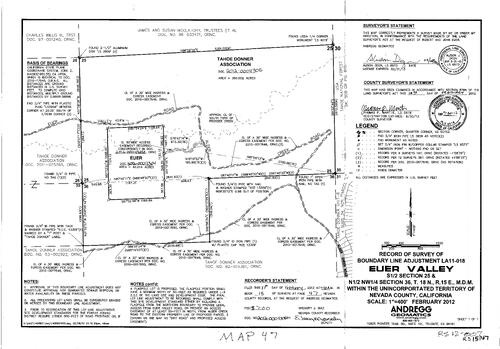
Record of Survey Book 15, pg. 47 (2012)
NC Recorders Map Survey 15-047:
Record of Survey Book 15, pg. 47. Euer Valley. T18N R15E Sec. 36. Tahoe Donner Assoc.. Euer Valley Rd.. Alder Creek Rd.
NC Recorders Map Survey 15-047:
Record of Survey Book 15, pg. 47. Euer Valley. T18N R15E Sec. 36. Tahoe Donner Assoc.. Euer Valley Rd.. Alder Creek Rd.
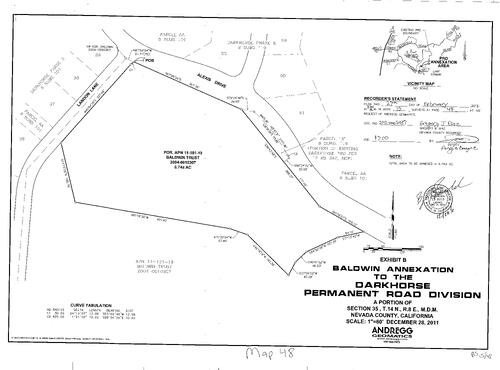
Record of Survey Book 15, pg. 48 (2012)
NC Recorders Map Survey 15-048:
Record of Survey Book 15, pg. 48. Darkhorse Permanent Road Div. Baldwin Annexation. Landon Lane. Alexis Dr.. T14N R8E Sec. 35. Subdivision Book 8, pg. 101
NC Recorders Map Survey 15-048:
Record of Survey Book 15, pg. 48. Darkhorse Permanent Road Div. Baldwin Annexation. Landon Lane. Alexis Dr.. T14N R8E Sec. 35. Subdivision Book 8, pg. 101
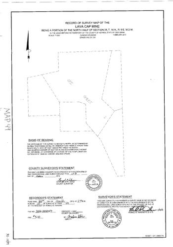
Record of Survey Book 15, pg. 49 (2012)
NC Recorders Map Survey 15-049-1:
NC Recorders Map Survey 15-049-1:
Record of Survey Book 15, pg. 49. Lava Cap Mine. T16N R9E Sec. 28. Lava Cap Mining Corp.. Elder... See More
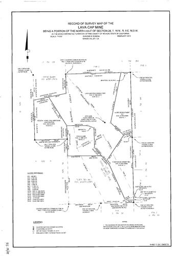
Record of Survey Book 15, pg. 49 (2012)
NC Recorders Map Survey 15-049-2:
NC Recorders Map Survey 15-049-2:
Record of Survey Book 15, pg. 49. Lava Cap Mine. T16N R9E Sec. 28. Lava Cap Mining Corp.. Elder... See More
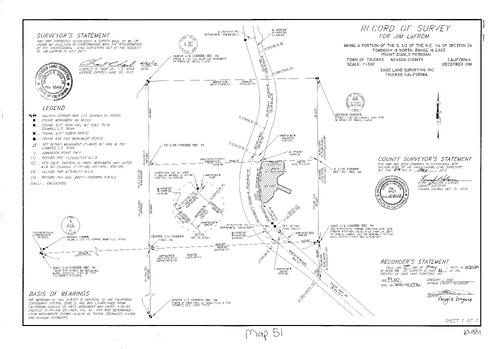
Record of Survey Book 15, pg. 51 (2012)
NC Recorders Map Survey 15-051-1:
Record of Survey Book 15, pg. 51. LaFrom, Jim. T18N R16E Sec. 34. State Highway 89. Alder Creek Rd., East. Prosser Lake View Estates Unit 5
NC Recorders Map Survey 15-051-1:
Record of Survey Book 15, pg. 51. LaFrom, Jim. T18N R16E Sec. 34. State Highway 89. Alder Creek Rd., East. Prosser Lake View Estates Unit 5
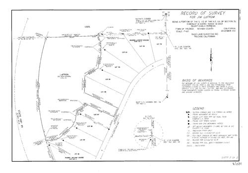
Record of Survey Book 15, pg. 51 (2012)
NC Recorders Map Survey 15-051-2:
Record of Survey Book 15, pg. 51. LaFrom, Jim. T18N R16E Sec. 34. State Highway 89. Alder Creek Rd., East. Prosser Lake View Estates Unit 5
NC Recorders Map Survey 15-051-2:
Record of Survey Book 15, pg. 51. LaFrom, Jim. T18N R16E Sec. 34. State Highway 89. Alder Creek Rd., East. Prosser Lake View Estates Unit 5
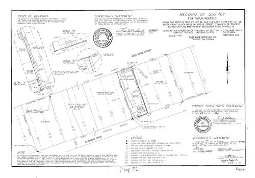
Record of Survey Book 15, pg. 52 (2012)
NC Recorders Map Survey 15-052:
Record of Survey Book 15, pg. 52. Tatum Rentals. T17N R16E Sec. 15. Truckee River Front Block. River St., West. Riverside Dr.
NC Recorders Map Survey 15-052:
Record of Survey Book 15, pg. 52. Tatum Rentals. T17N R16E Sec. 15. Truckee River Front Block. River St., West. Riverside Dr.
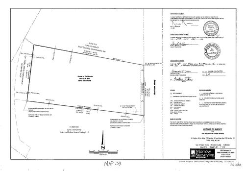
Record of Survey Book 15, pg. 53 (2012)
NC Recorders Map Survey 15-053:
Record of Survey Book 15, pg. 53. California Dept. of General Services. T16N R8E Sec. 23, 24. Sutton Way. Gold Country Investments Inc.. Interra-Vision G.V. LLC
NC Recorders Map Survey 15-053:
Record of Survey Book 15, pg. 53. California Dept. of General Services. T16N R8E Sec. 23, 24. Sutton Way. Gold Country Investments Inc.. Interra-Vision G.V. LLC
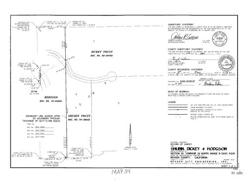
Record of Survey Book 15, pg. 54 (2012)
NC Recorders Map Survey 15-054:
Record of Survey Book 15, pg. 54. Shubin, Dickey & Hodson. T16N R8E Sec. 15. Stockdale Rd.. Parcel Map Book 18, pg. 8. Dickey Trust. Shubin Trust
NC Recorders Map Survey 15-054:
Record of Survey Book 15, pg. 54. Shubin, Dickey & Hodson. T16N R8E Sec. 15. Stockdale Rd.. Parcel Map Book 18, pg. 8. Dickey Trust. Shubin Trust
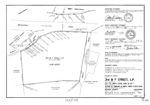
Record of Survey Book 15, pg. 55 (2012)
NC Recorders Map Survey 15-055:
NC Recorders Map Survey 15-055:
Record of Survey Book 15, pg. 55. 3rd & F Street L.P.. White Ledge Lote Lot 177 & Lot 1. T16N R8E Sec. 33. McCourtney Rd.. Gene's Rd.. Auburn Rd.. Nevada County Cons. Fire Protection District. Roman Catholic... See More
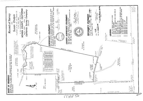
Record of Survey Book 15, pg. 56 (2012)
NC Recorders Map Survey 15-056:
Record of Survey Book 15, pg. 56. Chalpin, Susan. T17N R9E Sec. 33. Rock Creek. Fleitas. Cooper Rd.
NC Recorders Map Survey 15-056:
Record of Survey Book 15, pg. 56. Chalpin, Susan. T17N R9E Sec. 33. Rock Creek. Fleitas. Cooper Rd.
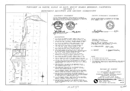
Record of Survey Book 15, pg. 57 (2012)
NC Recorders Map Survey 15-057-1:
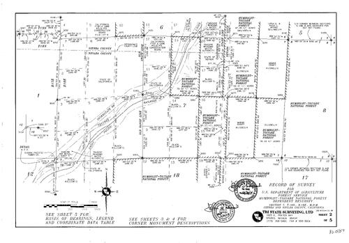
Record of Survey Book 15, pg. 57. T18N R18E Sec. 7. U.S. Dept. of Agriculture Forest Service. Interstate 80. U.P.R.R.. Truckee River
NC Recorders Map Survey 15-057-1:
Record of Survey Book 15, pg. 57. T18N R18E Sec. 7. U.S. Dept. of Agriculture Forest Service. Interstate 80. U.P.R.R.. Truckee River
Record of Survey Book 15, pg. 57 (2012)
NC Recorders Map Survey 15-057-2:
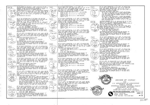
Record of Survey Book 15, pg. 57. T18N R18E Sec. 7. U.S. Dept. of Agriculture Forest Service. Interstate 80. U.P.R.R.. Truckee River
NC Recorders Map Survey 15-057-2:
Record of Survey Book 15, pg. 57. T18N R18E Sec. 7. U.S. Dept. of Agriculture Forest Service. Interstate 80. U.P.R.R.. Truckee River
Record of Survey Book 15, pg. 57 (2012)
NC Recorders Map Survey 15-057-3:
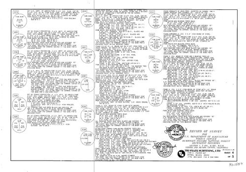
Record of Survey Book 15, pg. 57. T18N R18E Sec. 7. U.S. Dept. of Agriculture Forest Service. Interstate 80. U.P.R.R.. Truckee River
NC Recorders Map Survey 15-057-3:
Record of Survey Book 15, pg. 57. T18N R18E Sec. 7. U.S. Dept. of Agriculture Forest Service. Interstate 80. U.P.R.R.. Truckee River
Record of Survey Book 15, pg. 57 (2012)
NC Recorders Map Survey 15-057-4:
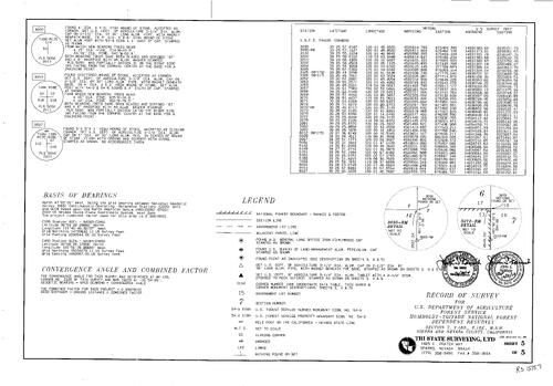
Record of Survey Book 15, pg. 57. T18N R18E Sec. 7. U.S. Dept. of Agriculture Forest Service. Interstate 80. U.P.R.R.. Truckee River
NC Recorders Map Survey 15-057-4:
Record of Survey Book 15, pg. 57. T18N R18E Sec. 7. U.S. Dept. of Agriculture Forest Service. Interstate 80. U.P.R.R.. Truckee River
Record of Survey Book 15, pg. 57 (2012)
NC Recorders Map Survey 15-057-5:
Record of Survey Book 15, pg. 57. T18N R18E Sec. 7. U.S. Dept. of Agriculture Forest Service. Interstate 80. U.P.R.R.. Truckee River
NC Recorders Map Survey 15-057-5:
Record of Survey Book 15, pg. 57. T18N R18E Sec. 7. U.S. Dept. of Agriculture Forest Service. Interstate 80. U.P.R.R.. Truckee River
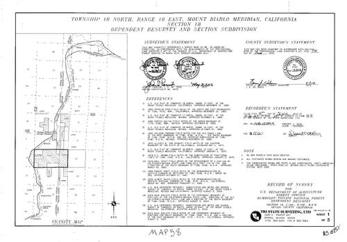
Record of Survey Book 15, pg. 58 (2012)
NC Recorders Map Survey 15-058-1:
Record of Survey Book 15, pg. 58. T18N R18E Sec. 18. U.S. Dept. of Agriculture Forest Service. Interstate 80. U.P.R.R.. Truckee River
NC Recorders Map Survey 15-058-1:
Record of Survey Book 15, pg. 58. T18N R18E Sec. 18. U.S. Dept. of Agriculture Forest Service. Interstate 80. U.P.R.R.. Truckee River
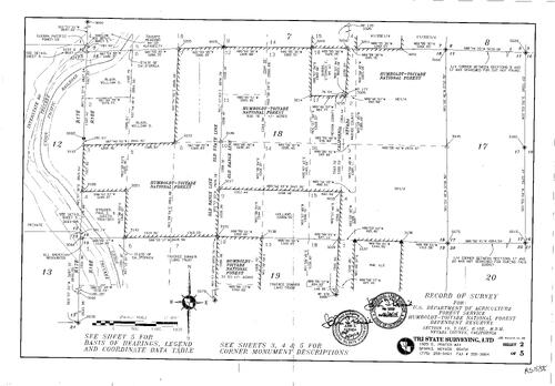
Record of Survey Book 15, pg. 58 (2012)
NC Recorders Map Survey 15-058-2:
Record of Survey Book 15, pg. 58. T18N R18E Sec. 18. U.S. Dept. of Agriculture Forest Service. Interstate 80. U.P.R.R.. Truckee River
NC Recorders Map Survey 15-058-2:
Record of Survey Book 15, pg. 58. T18N R18E Sec. 18. U.S. Dept. of Agriculture Forest Service. Interstate 80. U.P.R.R.. Truckee River
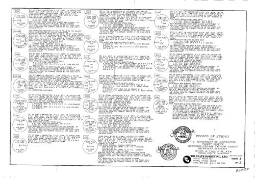
Record of Survey Book 15, pg. 58 (2012)
NC Recorders Map Survey 15-058-3:
Record of Survey Book 15, pg. 58. T18N R18E Sec. 18. U.S. Dept. of Agriculture Forest Service. Interstate 80. U.P.R.R.. Truckee River
NC Recorders Map Survey 15-058-3:
Record of Survey Book 15, pg. 58. T18N R18E Sec. 18. U.S. Dept. of Agriculture Forest Service. Interstate 80. U.P.R.R.. Truckee River

Record of Survey Book 15, pg. 58 (2012)
NC Recorders Map Survey 15-058-4:
Record of Survey Book 15, pg. 58. T18N R18E Sec. 18. U.S. Dept. of Agriculture Forest Service. Interstate 80. U.P.R.R.. Truckee River
NC Recorders Map Survey 15-058-4:
Record of Survey Book 15, pg. 58. T18N R18E Sec. 18. U.S. Dept. of Agriculture Forest Service. Interstate 80. U.P.R.R.. Truckee River
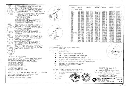
Record of Survey Book 15, pg. 58 (2012)
NC Recorders Map Survey 15-058-5:
Record of Survey Book 15, pg. 58. T18N R18E Sec. 18. U.S. Dept. of Agriculture Forest Service. Interstate 80. U.P.R.R.. Truckee River
NC Recorders Map Survey 15-058-5:
Record of Survey Book 15, pg. 58. T18N R18E Sec. 18. U.S. Dept. of Agriculture Forest Service. Interstate 80. U.P.R.R.. Truckee River
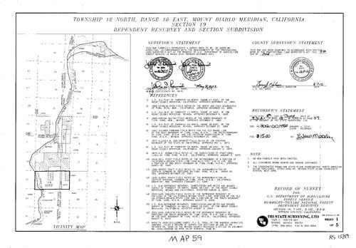
Record of Survey Book 15, pg. 59 (2012)
NC Recorders Map Survey 15-059-1:
Record of Survey Book 15, pg. 59. T18N R18E Sec. 19. U.S. Dept. of Agriculture Forest Service. Interstate 80. U.P.R.R.. Truckee River
NC Recorders Map Survey 15-059-1:
Record of Survey Book 15, pg. 59. T18N R18E Sec. 19. U.S. Dept. of Agriculture Forest Service. Interstate 80. U.P.R.R.. Truckee River
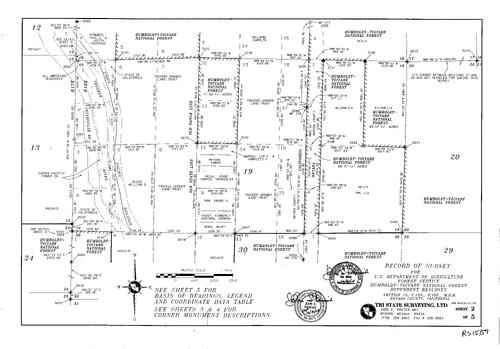
Record of Survey Book 15, pg. 59 (2012)
NC Recorders Map Survey 15-059-2:
Record of Survey Book 15, pg. 59. T18N R18E Sec. 19. U.S. Dept. of Agriculture Forest Service. Interstate 80. U.P.R.R.. Truckee River
NC Recorders Map Survey 15-059-2:
Record of Survey Book 15, pg. 59. T18N R18E Sec. 19. U.S. Dept. of Agriculture Forest Service. Interstate 80. U.P.R.R.. Truckee River
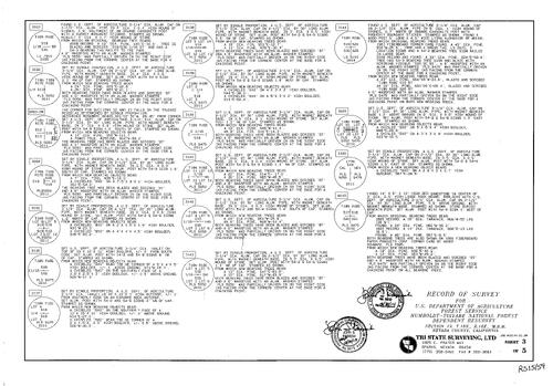
Record of Survey Book 15, pg. 59 (2012)
NC Recorders Map Survey 15-059-3:
Record of Survey Book 15, pg. 59. T18N R18E Sec. 19. U.S. Dept. of Agriculture Forest Service. Interstate 80. U.P.R.R.. Truckee River
NC Recorders Map Survey 15-059-3:
Record of Survey Book 15, pg. 59. T18N R18E Sec. 19. U.S. Dept. of Agriculture Forest Service. Interstate 80. U.P.R.R.. Truckee River
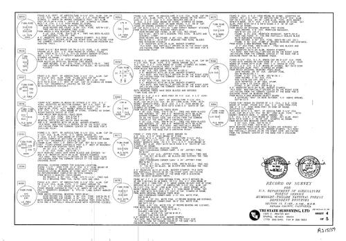
Record of Survey Book 15, pg. 59 (2012)
NC Recorders Map Survey 15-059-4:
Record of Survey Book 15, pg. 59. T18N R18E Sec. 19. U.S. Dept. of Agriculture Forest Service. Interstate 80. U.P.R.R.. Truckee River
NC Recorders Map Survey 15-059-4:
Record of Survey Book 15, pg. 59. T18N R18E Sec. 19. U.S. Dept. of Agriculture Forest Service. Interstate 80. U.P.R.R.. Truckee River
Record of Survey Book 15, pg. 59 (2012)
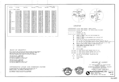
NC Recorders Map Survey 15-059-5:
Record of Survey Book 15, pg. 59. T18N R18E Sec. 19. U.S. Dept. of Agriculture Forest Service. Interstate 80. U.P.R.R.. Truckee River
NC Recorders Map Survey 15-059-5:
Record of Survey Book 15, pg. 59. T18N R18E Sec. 19. U.S. Dept. of Agriculture Forest Service. Interstate 80. U.P.R.R.. Truckee River
Record of Survey Book 15, pg. 60 (2012)
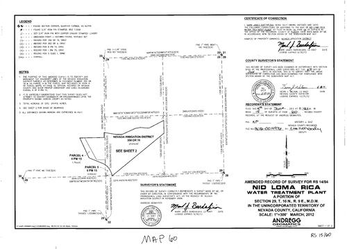
NC Recorders Map Survey 15-060-1:
Record of Survey Book 15, pg. 60. NIC Loma Rica Water Treatment Plant. T16N R9E Sec. 29. Loma Rica Dr.. County of Nevada. Parcel Map Book 6, pg. 15 parcel 4 & 5
NC Recorders Map Survey 15-060-1:
Record of Survey Book 15, pg. 60. NIC Loma Rica Water Treatment Plant. T16N R9E Sec. 29. Loma Rica Dr.. County of Nevada. Parcel Map Book 6, pg. 15 parcel 4 & 5
Record of Survey Book 15, pg. 60 (2012)
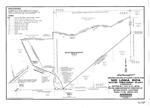
NC Recorders Map Survey 15-060-2:
Record of Survey Book 15, pg. 60. NIC Loma Rica Water Treatment Plant. T16N R9E Sec. 29. Loma Rica Dr.. County of Nevada. Parcel Map Book 6, pg. 15 parcel 4 & 5
NC Recorders Map Survey 15-060-2:
Record of Survey Book 15, pg. 60. NIC Loma Rica Water Treatment Plant. T16N R9E Sec. 29. Loma Rica Dr.. County of Nevada. Parcel Map Book 6, pg. 15 parcel 4 & 5
Record of Survey Book 15, pg. 61 (2012)
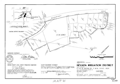
NC Recorders Map Survey 15-061:
Record of Survey Book 15, pg. 61. NID Annexation. T16N R8E Sec. 33. Auburn Rd.. McCourtney Rd.. Nevada County Fairgrounds. Gene's Rd.. Cliff's Place
NC Recorders Map Survey 15-061:
Record of Survey Book 15, pg. 61. NID Annexation. T16N R8E Sec. 33. Auburn Rd.. McCourtney Rd.. Nevada County Fairgrounds. Gene's Rd.. Cliff's Place
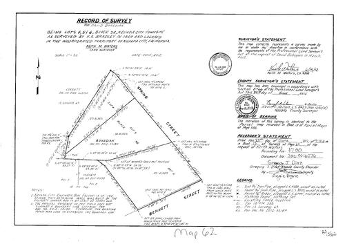
Record of Survey Book 15, pg. 62 (2012)
NC Recorders Map Survey 15-062:
Record of Survey Book 15, pg. 62. Bohegian, David. Nevada City Block 38 lots 4, 5, 6. Spring St.. Bennett St.
NC Recorders Map Survey 15-062:
Record of Survey Book 15, pg. 62. Bohegian, David. Nevada City Block 38 lots 4, 5, 6. Spring St.. Bennett St.
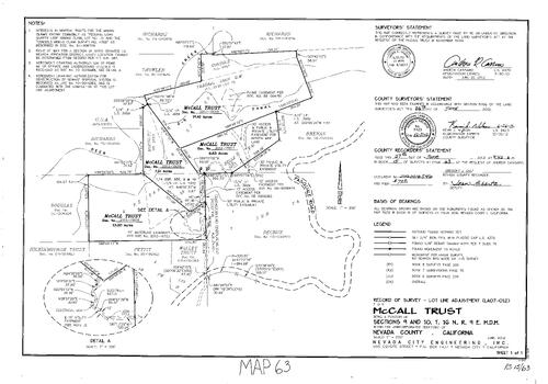
Record of Survey Book 15, pg. 63 (2012)
NC Recorders Map Survey 15-063:
NC Recorders Map Survey 15-063:
Record of Survey Book 15, pg. 63. McCall Trust. T16N R9E Sec. 9 & 10. Federal Loan Quartz Mine. NID D-S Canal. Hidden Mine Lane. Deer Creek. Pasquale Rd.. Subdivision Book 7, pg. 76. Belle Quartz Mine. M.S. 2232... See More
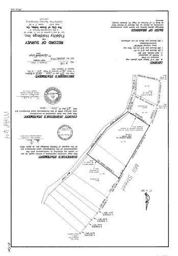
Record of Survey Book 15, pg. 64 (2012)
NC Recorders Map Survey 15-064:
NC Recorders Map Survey 15-064:
Record of Survey Book 15, pg. 64. Fidelity Holdings Inc.. Grass Valley Block 43 lot 17 & 18. Mill... See More
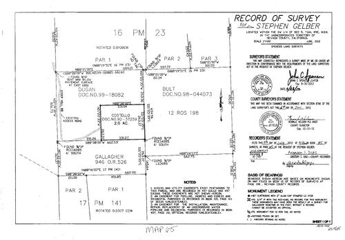
Record of Survey Book 15, pg. 65 (2012)
NC Recorders Map Survey 15-065:
Record of Survey Book 15, pg. 65. Gelber, Stephen. T16N R9E Sec. 5. Steep Hill Rd.. Parcel Map Book 16, pg. 23. Record of Survey Book 12, pg. 198. Parcel Map Book 17, pg. 141
NC Recorders Map Survey 15-065:
Record of Survey Book 15, pg. 65. Gelber, Stephen. T16N R9E Sec. 5. Steep Hill Rd.. Parcel Map Book 16, pg. 23. Record of Survey Book 12, pg. 198. Parcel Map Book 17, pg. 141
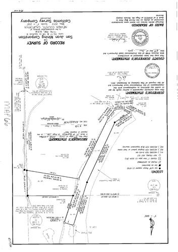
Record of Survey Book 15, pg. 66 (2012)
NC Recorders Map Survey 15-066:
NC Recorders Map Survey 15-066:
San Juan Mining Corporation. 17N R9E Sec. 9 lots 16, 17, 18. Golden Sierra Inc.. Callaway, Timothy... See More
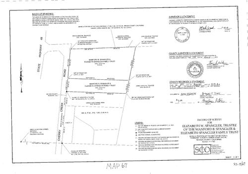
Record of Survey Book 15, pg. 67 (2012)
NC Recorders Map Survey 15-067:
Record of Survey Book 15, pg. 67. Spangler, Elizabeth W., Trustee. Spangler, Manford B. & Family Trust. T14N R8E Sec. 3. State Highway 49. Cherry Creek Rd.. Parcel Map Book 4, pg. 125
NC Recorders Map Survey 15-067:
Record of Survey Book 15, pg. 67. Spangler, Elizabeth W., Trustee. Spangler, Manford B. & Family Trust. T14N R8E Sec. 3. State Highway 49. Cherry Creek Rd.. Parcel Map Book 4, pg. 125
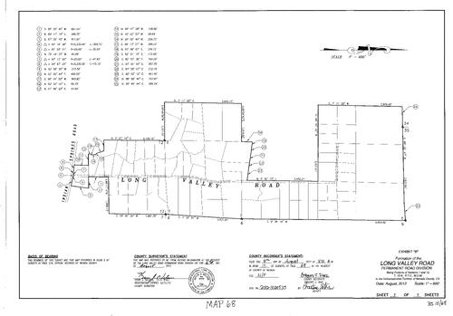
Record of Survey Book 15, pg. 68 (2012)
NC Recorders Map Survey 15-068:
Record of Survey Book 15, pg. 68. Long Valley Road Permanent Road Div.. Indian Springs Rd.. Long Valley Rd.. T15N R7E Sec. 1 & 12
NC Recorders Map Survey 15-068:
Record of Survey Book 15, pg. 68. Long Valley Road Permanent Road Div.. Indian Springs Rd.. Long Valley Rd.. T15N R7E Sec. 1 & 12
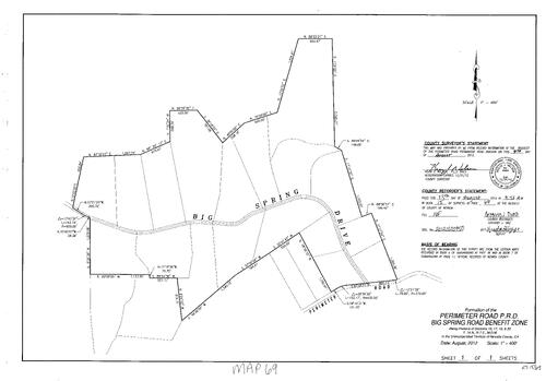
Record of Survey Book 15, pg. 69 (2012)
NC Recorders Map Survey 15-069:
Record of Survey Book 15, pg. 69. Perimeter Road Permanent Road Div.. Big Spring Road Benefit Zone
NC Recorders Map Survey 15-069:
Record of Survey Book 15, pg. 69. Perimeter Road Permanent Road Div.. Big Spring Road Benefit Zone
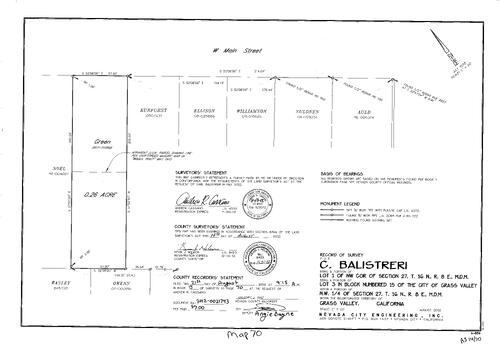
Record of Survey Book 15, pg. 70 (2012)
NC Recorders Map Survey 15-070:
Record of Survey Book 15, pg. 70. Balistreri, C.. T16N R8E Sec. 27. Grass Valley Block 15 lot 3. Main St., West
NC Recorders Map Survey 15-070:
Record of Survey Book 15, pg. 70. Balistreri, C.. T16N R8E Sec. 27. Grass Valley Block 15 lot 3. Main St., West
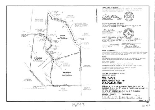
Record of Survey Book 15, pg. 71 (2012)
NC Recorders Map Survey 15-071:
NC Recorders Map Survey 15-071:
Record of Survey Book 15, pg. 71. Wilson, Brusseau & Cavanaugh. Parcel Map Book 6, pg. 220 parcel 4. Parcel Map Book 7, pg. 72 parcels B, C, & D. T17N R9E Sec. 31. Honeysuckle Way. Homburg Way. Record of Survey... See More
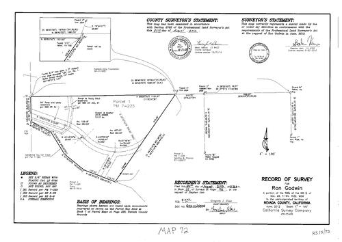
Record of Survey Book 15, pg. 72 (2012)
NC Recorders Map Survey 15-072:
Record of Survey Book 15, pg. 72. Godwin, Ron. T16N R8E Sec. 29. Parcel Map Book 7, pg. 225 Parcel 1. Squirrel Creek. NID Rough & Ready Ditch. Baltic Gravel Mine
NC Recorders Map Survey 15-072:
Record of Survey Book 15, pg. 72. Godwin, Ron. T16N R8E Sec. 29. Parcel Map Book 7, pg. 225 Parcel 1. Squirrel Creek. NID Rough & Ready Ditch. Baltic Gravel Mine
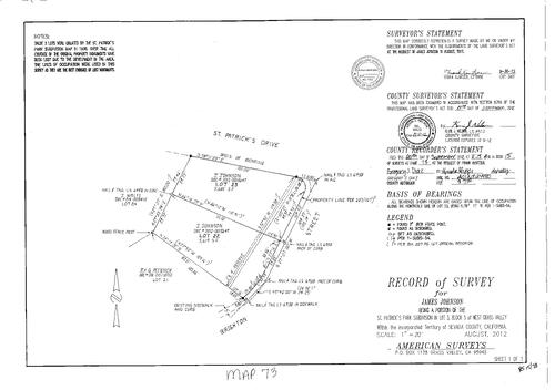
Record of Survey Book 15, pg. 73 (2012)
NC Recorders Map Survey 15-073:
Record of Survey Book 15, pg. 73. Johnson, James. St. Patrick's Dr.. Brighton St.. St. Patrick's Park Subdivision. Grass Valley, West Block 5 Lot 3
NC Recorders Map Survey 15-073:
Record of Survey Book 15, pg. 73. Johnson, James. St. Patrick's Dr.. Brighton St.. St. Patrick's Park Subdivision. Grass Valley, West Block 5 Lot 3
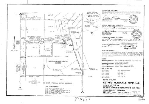
Record of Survey Book 15, pg. 74 (2012)
NC Recorders Map Survey 15-074-1:
NC Recorders Map Survey 15-074-1:
Record of Survey Book 15, pg. 74. Olympic Mortgage Fund Inc.. T15N R8E lots 12, 13, 23, 24. Azores Development Co.. M.S. 4061. Grey Eagle. Parcel Map Book 4, pg. 141. M.S. 4264. Frankfort Lode. Record of Survey... See More
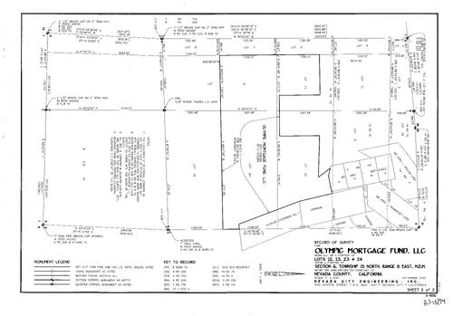
Record of Survey Book 15, pg. 74 (2012)
NC Recorders Map Survey 15-074-2:
NC Recorders Map Survey 15-074-2:
Record of Survey Book 15, pg. 74. Olympic Mortgage Fund Inc.. T15N R8E lots 12, 13, 23, 24. Azores Development Co.. M.S. 4061. Grey Eagle. Parcel Map Book 4, pg. 141. M.S. 4264. Frankfort Lode. Record of Survey... See More
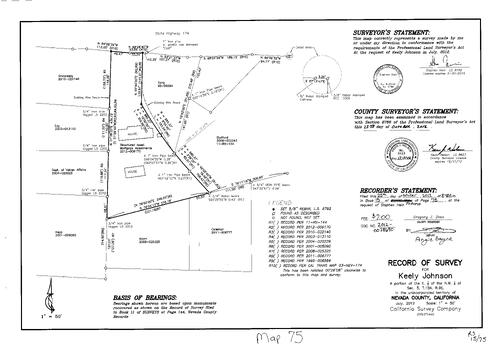
Record of Survey Book 15, pg. 75 (2012)
NC Recorders Map Survey 15-075:
Record of Survey Book 15, pg. 75Johnson, Keely. T15N R9E Sec. 5. State Highway 174
NC Recorders Map Survey 15-075:
Record of Survey Book 15, pg. 75Johnson, Keely. T15N R9E Sec. 5. State Highway 174
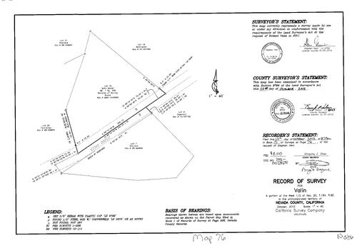
Record of Survey Book 15, pg. 76 (2012)
NC Recorders Map Survey 15-076:
. Valin. T16N R9E Sec. 20. Echo Woods. Record of Survey Book 1, pg. 226. Echo Dr.
NC Recorders Map Survey 15-076:
. Valin. T16N R9E Sec. 20. Echo Woods. Record of Survey Book 1, pg. 226. Echo Dr.
Record of Survey Book 15, pg. 77 (2012)
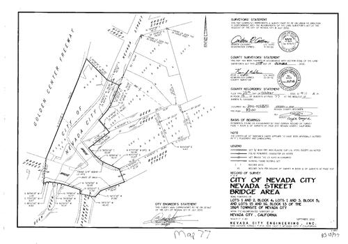
NC Recorders Map Survey 15-077:
Record of Survey Book 15, pg. 77. City of Nevada City, Nevada St. Bridge Area. Broad St.. Deer Creek. Sacramento St.. Boulder St.. High St.. Golden Center Freeway. Grove St.
NC Recorders Map Survey 15-077:
Record of Survey Book 15, pg. 77. City of Nevada City, Nevada St. Bridge Area. Broad St.. Deer Creek. Sacramento St.. Boulder St.. High St.. Golden Center Freeway. Grove St.
Record of Survey Book 15, pg. 78 (2012)
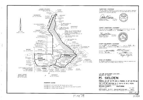
NC Recorders Map Survey 15-078:
Record of Survey Book 15, pg. 78. Selden, M.. Parcel Map Book 18, pg. 201 parcel 13. Parcel Map Book 20, pg. 62 parcel 3. T16N R8E Sec. 11. Old Downieville Highway. Champion Rd.. NID Woods Ravine Spill Channel
NC Recorders Map Survey 15-078:
Record of Survey Book 15, pg. 78. Selden, M.. Parcel Map Book 18, pg. 201 parcel 13. Parcel Map Book 20, pg. 62 parcel 3. T16N R8E Sec. 11. Old Downieville Highway. Champion Rd.. NID Woods Ravine Spill Channel
Record of Survey Book 15, pg. 79 (2012)
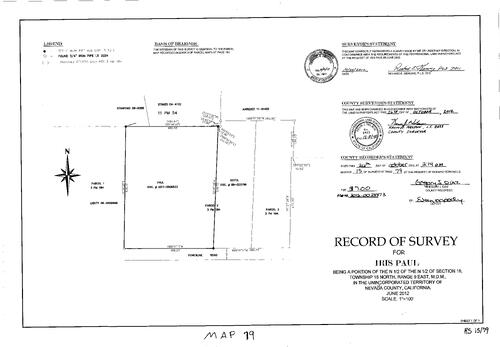
NC Recorders Map Survey 15-079:
Record of Survey Book 15, pg. 79. Paul, Iris. T15N R9E Sec. 16. Powerline Rd.. Parcel Map Book 11, pg. 54. Parcel Map Book 3, pg. 184
NC Recorders Map Survey 15-079:
Record of Survey Book 15, pg. 79. Paul, Iris. T15N R9E Sec. 16. Powerline Rd.. Parcel Map Book 11, pg. 54. Parcel Map Book 3, pg. 184
Record of Survey Book 15, pg. 80 (2012)
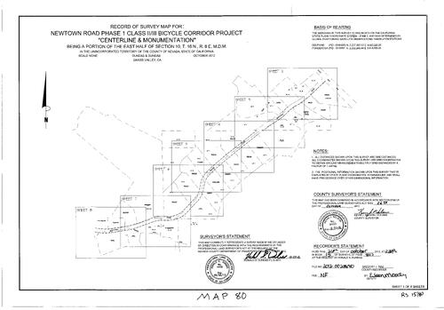
NC Recorders Map Survey 15-080-1:
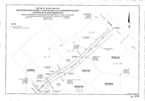
Record of Survey Book 15, pg. 80. Newtown Rd. Phase I Bicycle Corridor Project. State Highway 49. T17N R8E Sec. 10
NC Recorders Map Survey 15-080-1:
Record of Survey Book 15, pg. 80. Newtown Rd. Phase I Bicycle Corridor Project. State Highway 49. T17N R8E Sec. 10
Record of Survey Book 15, pg. 80 (2012)
NC Recorders Map Survey 15-080-2:
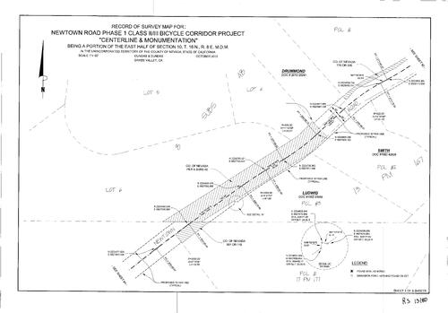
Record of Survey Book 15, pg. 80. Newtown Rd. Phase I Bicycle Corridor Project. State Highway 49. T17N R8E Sec. 10
NC Recorders Map Survey 15-080-2:
Record of Survey Book 15, pg. 80. Newtown Rd. Phase I Bicycle Corridor Project. State Highway 49. T17N R8E Sec. 10
Record of Survey Book 15, pg. 80 (2012)
NC Recorders Map Survey 15-080-3:
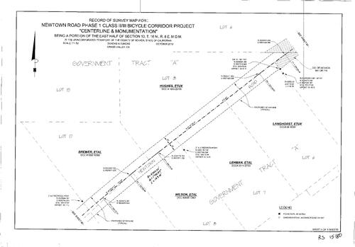
Record of Survey Book 15, pg. 80. Newtown Rd. Phase I Bicycle Corridor Project. State Highway 49. T17N R8E Sec. 10
NC Recorders Map Survey 15-080-3:
Record of Survey Book 15, pg. 80. Newtown Rd. Phase I Bicycle Corridor Project. State Highway 49. T17N R8E Sec. 10
Record of Survey Book 15, pg. 80 (2012)
NC Recorders Map Survey 15-080-4:
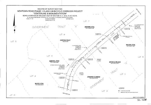
Record of Survey Book 15, pg. 80. Newtown Rd. Phase I Bicycle Corridor Project. State Highway 49. T17N R8E Sec. 10
NC Recorders Map Survey 15-080-4:
Record of Survey Book 15, pg. 80. Newtown Rd. Phase I Bicycle Corridor Project. State Highway 49. T17N R8E Sec. 10
Record of Survey Book 15, pg. 80 (2012)
NC Recorders Map Survey 15-080-5:
Record of Survey Book 15, pg. 80. Newtown Rd. Phase I Bicycle Corridor Project. State Highway 49. T17N R8E Sec. 10
NC Recorders Map Survey 15-080-5:
Record of Survey Book 15, pg. 80. Newtown Rd. Phase I Bicycle Corridor Project. State Highway 49. T17N R8E Sec. 10
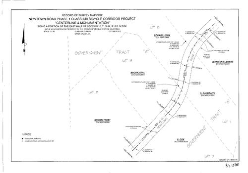
Record of Survey Book 15, pg. 80 (2012)
NC Recorders Map Survey 15-080-6:
Record of Survey Book 15, pg. 80. Newtown Rd. Phase I Bicycle Corridor Project. State Highway 49. T17N R8E Sec. 10
NC Recorders Map Survey 15-080-6:
Record of Survey Book 15, pg. 80. Newtown Rd. Phase I Bicycle Corridor Project. State Highway 49. T17N R8E Sec. 10
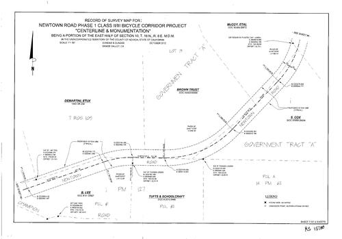
Record of Survey Book 15, pg. 80 (2012)
NC Recorders Map Survey 15-080-7:
Record of Survey Book 15, pg. 80. Newtown Rd. Phase I Bicycle Corridor Project. State Highway 49. T17N R8E Sec. 10
NC Recorders Map Survey 15-080-7:
Record of Survey Book 15, pg. 80. Newtown Rd. Phase I Bicycle Corridor Project. State Highway 49. T17N R8E Sec. 10
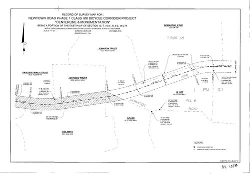
Record of Survey Book 15, pg. 80 (2012)
NC Recorders Map Survey 15-080-8:
Record of Survey Book 15, pg. 80. Newtown Rd. Phase I Bicycle Corridor Project. State Highway 49. T17N R8E Sec. 10
NC Recorders Map Survey 15-080-8:
Record of Survey Book 15, pg. 80. Newtown Rd. Phase I Bicycle Corridor Project. State Highway 49. T17N R8E Sec. 10
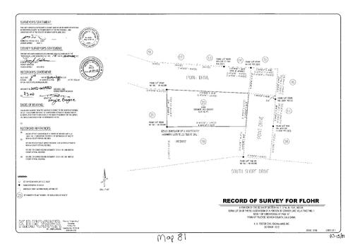
Record of Survey Book 15, pg. 81 (2012)
NC Recorders Map Survey 15-081:
Record of Survey Book 15, pg. 81. Flour,. Point Dr.. Subdivision Book 1, pg. 97. Shore Dr., South. T17N R15E Sec. 14
NC Recorders Map Survey 15-081:
Record of Survey Book 15, pg. 81. Flour,. Point Dr.. Subdivision Book 1, pg. 97. Shore Dr., South. T17N R15E Sec. 14
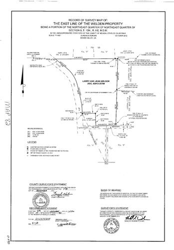
Record of Survey Book 15, pg. 82 (2012)
NC Recorders Map Survey 15-082:
NC Recorders Map Survey 15-082:
Record of Survey Book 15, pg. 82. Weldon, Larry & Jean. State Highway 174. T15N R9E Sec. 9... See More
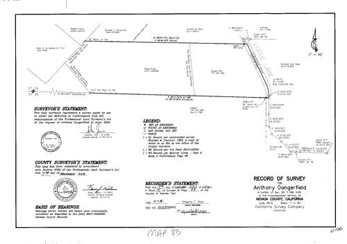
Record of Survey Book 15, pg. 83 (2012)
NC Recorders Map Survey 15-083:
Record of Survey Book 15, pg. 83. Dangerfield, Anthony. T16N R6E Sec. 26. Logue Lane
NC Recorders Map Survey 15-083:
Record of Survey Book 15, pg. 83. Dangerfield, Anthony. T16N R6E Sec. 26. Logue Lane
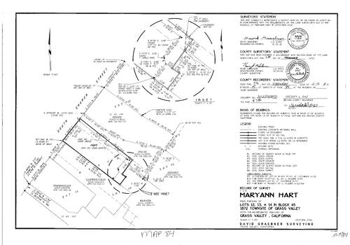
Record of Survey Book 15, pg. 84 (2012)
NC Recorders Map Survey 15-084:
Record of Survey Book 15, pg. 84. Hart, Maryann. Grass Valley Block 45 Lots 12, 13, 14. Church St., South. Record of Survey Book 11, pg. 179. Record of Survey Book 13, pg. 339
NC Recorders Map Survey 15-084:
Record of Survey Book 15, pg. 84. Hart, Maryann. Grass Valley Block 45 Lots 12, 13, 14. Church St., South. Record of Survey Book 11, pg. 179. Record of Survey Book 13, pg. 339
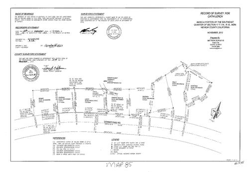
Record of Survey Book 15, pg. 85 (2012)
NC Recorders Map Survey 15-085:
Lerch, Cathi. Donner Pass Rd.. T17N R15E Sec. 17. Donner Summit Tramways. Diamond Head Oil. Record of Survey Book 15, pg. 85
NC Recorders Map Survey 15-085:
Lerch, Cathi. Donner Pass Rd.. T17N R15E Sec. 17. Donner Summit Tramways. Diamond Head Oil. Record of Survey Book 15, pg. 85
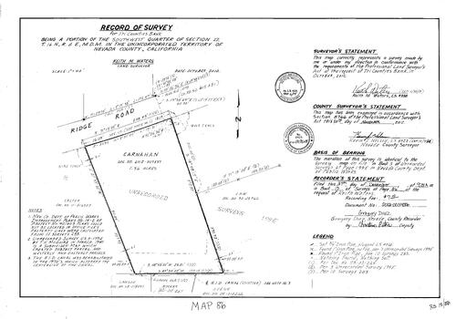
Record of Survey Book 15, pg. 86 (2012)
NC Recorders Map Survey 15-086:
Record of Survey Book 15, pg. 86. Tri-County Bank. T16N R8E Sec. 22. Ridge Rd.. Carnahan,. NID Canal
NC Recorders Map Survey 15-086:
Record of Survey Book 15, pg. 86. Tri-County Bank. T16N R8E Sec. 22. Ridge Rd.. Carnahan,. NID Canal
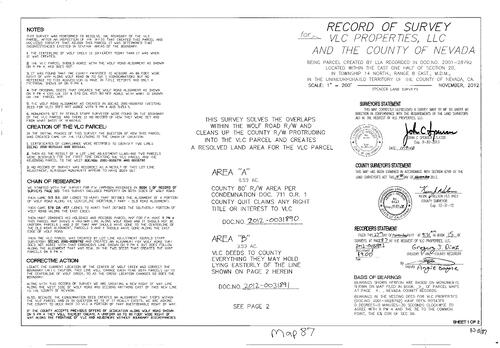
Record of Survey Book 15, pg. 87 (2012)
NC Recorders Map Survey 15-087-1:
Record of Survey Book 15, pg. 87. VLC Properties LLC. County of Nevada. Wolf Creek. Wolf Rd.. Cedar Gold Quartz Mine
NC Recorders Map Survey 15-087-1:
Record of Survey Book 15, pg. 87. VLC Properties LLC. County of Nevada. Wolf Creek. Wolf Rd.. Cedar Gold Quartz Mine
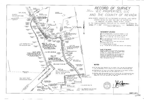
Record of Survey Book 15, pg. 87 (2012)
NC Recorders Map Survey 15-087-2:
Record of Survey Book 15, pg. 87. VLC Properties LLC. County of Nevada. Wolf Creek. Wolf Rd.. Cedar Gold Quartz Mine
NC Recorders Map Survey 15-087-2:
Record of Survey Book 15, pg. 87. VLC Properties LLC. County of Nevada. Wolf Creek. Wolf Rd.. Cedar Gold Quartz Mine
Survey Map Book 15, pg. 88
NC Recorders Map Survey 15-088
NC Recorders Map Survey 15-088
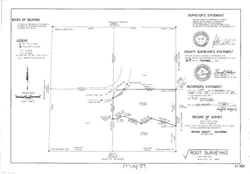
Record of Survey Book 15, pg. 89 (2012)
NC Recorders Map Survey 15-089:
Record of Survey Book 15, pg. 89. State Highway 49. McIntosh, Doug. T18N R8E Sec. 33
NC Recorders Map Survey 15-089:
Record of Survey Book 15, pg. 89. State Highway 49. McIntosh, Doug. T18N R8E Sec. 33
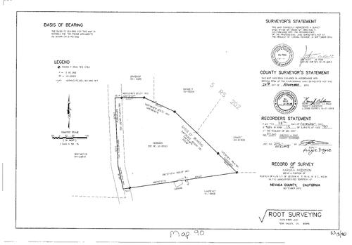
Record of Survey Book 15, pg. 90 (2012)
NC Recorders Map Survey 15-090:
Record of Survey Book 15, pg. 90. Record of Survey Book 5, pg. 202. Hodgson, Karuna. T15N R9E Sec. 6
NC Recorders Map Survey 15-090:
Record of Survey Book 15, pg. 90. Record of Survey Book 5, pg. 202. Hodgson, Karuna. T15N R9E Sec. 6
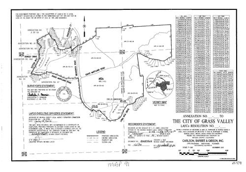
Record of Survey Book 15, pg. 91 (2012)
NC Recorders Map Survey 15-091:
Record of Survey Book 15, pg. 91. City of Grass Valley Annexation. T16N R8E Sec. 24 & 25. T16N R9E Sec. 19, 30. Ranchview Ct.. Sutton Way. Idaho Maryland Rd.. Brunswick Rd.. Loma Rica Rd.
NC Recorders Map Survey 15-091:
Record of Survey Book 15, pg. 91. City of Grass Valley Annexation. T16N R8E Sec. 24 & 25. T16N R9E Sec. 19, 30. Ranchview Ct.. Sutton Way. Idaho Maryland Rd.. Brunswick Rd.. Loma Rica Rd.
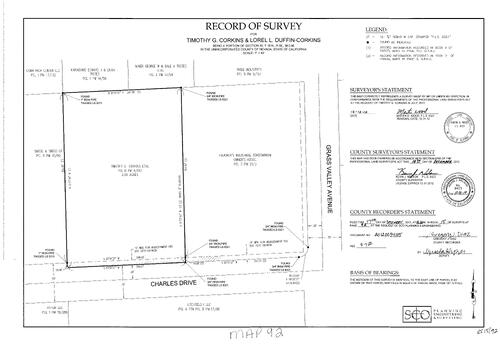
Record of Survey Book 15, pg. 92 (2012)
NC Recorders Map Survey 15-092:
Record of Survey Book 15, pg. 92. Corkins, Timothy G.. Duffin-Corkins, Lorel L.. Grass Valley Ave.. Charles Dr.. T16N R9E Sec. 30
NC Recorders Map Survey 15-092:
Record of Survey Book 15, pg. 92. Corkins, Timothy G.. Duffin-Corkins, Lorel L.. Grass Valley Ave.. Charles Dr.. T16N R9E Sec. 30
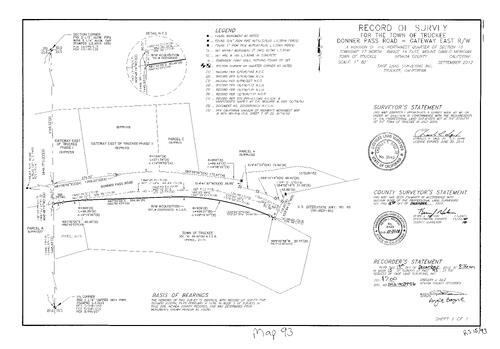
Record of Survey Book 15, pg. 93 (2012)
NC Recorders Map Survey 15-093:
Record of Survey Book 15, pg. 93. Truckee, Town of. Donner Pass Rd.. Gateway East R/W. T17N R16E Sec. 15. Parcel Map Book 8, pg. 227. Parcel Map Book 19,pg. 101. Parcel Map Book 19, pg. 59. Interstate 80
NC Recorders Map Survey 15-093:
Record of Survey Book 15, pg. 93. Truckee, Town of. Donner Pass Rd.. Gateway East R/W. T17N R16E Sec. 15. Parcel Map Book 8, pg. 227. Parcel Map Book 19,pg. 101. Parcel Map Book 19, pg. 59. Interstate 80

Record of Survey Book 15, pg. 94 (2012)
NC Recorders Map Survey 15-094:
Exra Properties. T17N R8E Sec. 21, 22. Murphy Ranch. Milhous Properties LLC. Record of Survey Book 15, pg. 94
NC Recorders Map Survey 15-094:
Exra Properties. T17N R8E Sec. 21, 22. Murphy Ranch. Milhous Properties LLC. Record of Survey Book 15, pg. 94
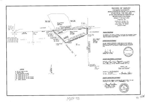
Record of Survey Book 15, pg. 95 (2013)
NC Recorders Map Survey 15-095:
Record of Survey Book 15, pg. 95. Parcel Map Book 15, pg. 111. Greenhorn Rd.. Schroeder, Margy. T16N R9E Sec. 34. Jones Ridge Rd.
NC Recorders Map Survey 15-095:
Record of Survey Book 15, pg. 95. Parcel Map Book 15, pg. 111. Greenhorn Rd.. Schroeder, Margy. T16N R9E Sec. 34. Jones Ridge Rd.
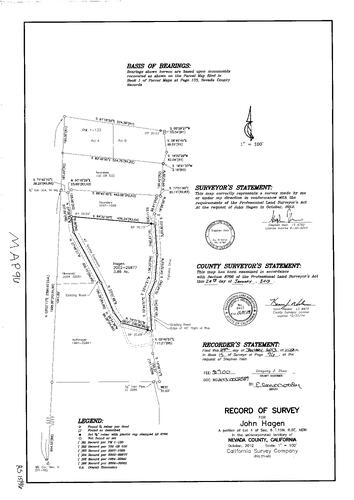
Record of Survey Book 15, pg. 96 (2013)
NC Recorders Map Survey 15-096:
NC Recorders Map Survey 15-096:
Record of Survey Book 15, pg. 96. Parcel Map Book 1, pg. 133. Highland Dr.. Hagen, John. T15N R9... See More
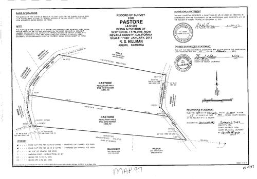
Record of Survey Book 15, pg. 97 (2013)
NC Recorders Map Survey 15-097:
Record of Survey Book 15, pg. 97. Pastore,. T17N R9E Sec. 26. Lightning Tree Rd.
NC Recorders Map Survey 15-097:
Record of Survey Book 15, pg. 97. Pastore,. T17N R9E Sec. 26. Lightning Tree Rd.
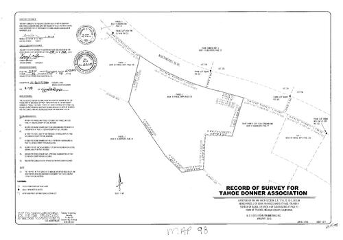
Record of Survey Book 15, pg. 98 (2013)
NC Recorders Map Survey 15-098:
Record of Survey Book 15, pg. 98. Northwood Blvd.. Parcel Map Book 10, pg. 178 parcel 2. Subdivision Book 4, pg. 41 Block J. Tahoe Donner Association. T17N R16E Sec. 5
NC Recorders Map Survey 15-098:
Record of Survey Book 15, pg. 98. Northwood Blvd.. Parcel Map Book 10, pg. 178 parcel 2. Subdivision Book 4, pg. 41 Block J. Tahoe Donner Association. T17N R16E Sec. 5
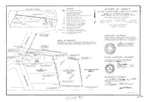
Record of Survey Book 15, pg. 99 (2013)
NC Recorders Map Survey 15-099:
NC Recorders Map Survey 15-099:
Record of Survey Book 15, pg. 99. Truckee Donner Public Utility District. Subdivision Book 4, pg. 36 parcel A & K. T17N R16E Sec. 8. Skislope Way. Bermgarten Rd.. Record of Survey Book 6, pg. 46. Tahoe Donner Unit... See More
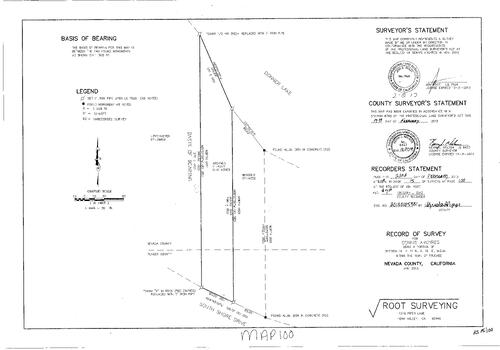
Record of Survey Book 15, pg. 100 (2013)
NC Recorders Map Survey 15-100:
Record of Survey Book 15, pg. 100. Donner Lake. Nevada/Placer County Line. Shore Dr., South. Argyres, Dennis. T17N R15E Sec. 14
NC Recorders Map Survey 15-100:
Record of Survey Book 15, pg. 100. Donner Lake. Nevada/Placer County Line. Shore Dr., South. Argyres, Dennis. T17N R15E Sec. 14
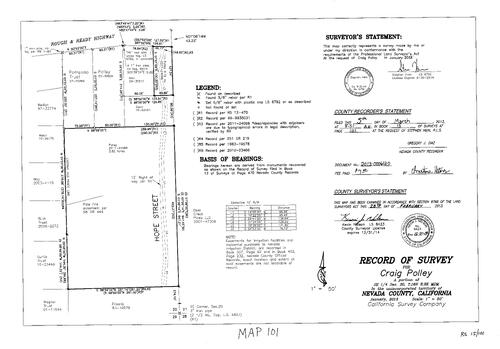
Record of Survey Book 15, pg. 101 (2013)
NC Recorders Map Survey 15-101:
Polley, Craig. T16N R8E Sec. 20. Rough & Ready Highway. Hope St.. Record of Survey Book 15, pg. 101
NC Recorders Map Survey 15-101:
Polley, Craig. T16N R8E Sec. 20. Rough & Ready Highway. Hope St.. Record of Survey Book 15, pg. 101
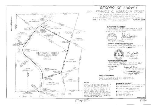
Record of Survey Book 15, pg. 102 (2013)
NC Recorders Map Survey 15-102:
Record of Survey Book 15, pg. 102. Kerrigan, Francis G., Trust. T15N R9E Sec. 7. Record of Survey Book 3, pg. 46. Record of Survey Book 3, pg. 50. Record of Survey Book 3, pg. 62. Record of Survey Book 3, pg. 60
NC Recorders Map Survey 15-102:
Record of Survey Book 15, pg. 102. Kerrigan, Francis G., Trust. T15N R9E Sec. 7. Record of Survey Book 3, pg. 46. Record of Survey Book 3, pg. 50. Record of Survey Book 3, pg. 62. Record of Survey Book 3, pg. 60
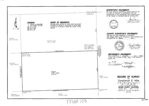
Record of Survey Book 15, pg. 103 (2013)
NC Recorders Map Survey 15-103:
Hills, Constance G.. T16N R8E Sec. 51. Record of Survey Book 15, pg. 103
NC Recorders Map Survey 15-103:
Hills, Constance G.. T16N R8E Sec. 51. Record of Survey Book 15, pg. 103
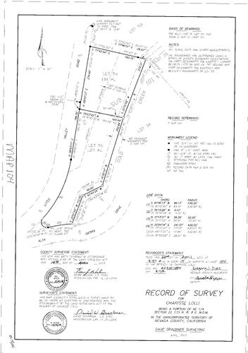
Record of Survey Book 15, pg. 104 (2013)
NC Recorders Map Survey 15-104:
NC Recorders Map Survey 15-104:
Record of Survey Book 15, pg. 104. Lolli, Charisse. T15N R8E Sec. 22. Little Valley Rd.. Alta... See More
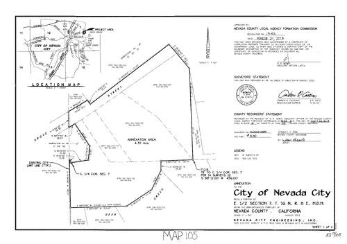
Record of Survey Book 15, pg. 105 (2013)
NC Recorders Map Survey 15-105:
Record of Survey Book 15, pg. 105. City of Nevada City Annexation. T16N R8E Sec. 7. Grove St.. Deer Creek
NC Recorders Map Survey 15-105:
Record of Survey Book 15, pg. 105. City of Nevada City Annexation. T16N R8E Sec. 7. Grove St.. Deer Creek
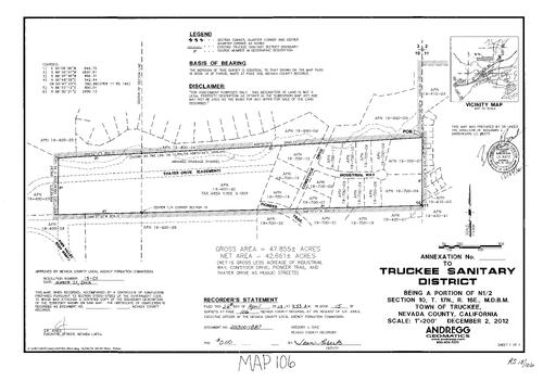
Record of Survey Book 15, pg. 106 (2013)
NC Recorders Map Survey 15-106:
Record of Survey Book 15, pg. 106. Truckee Sanitary District. T17N R16E Sec. 10. Thayer Dr.. Pioneer Trail. Comstock Dr.. Industrial Way. Euer Valley Rd.
NC Recorders Map Survey 15-106:
Record of Survey Book 15, pg. 106. Truckee Sanitary District. T17N R16E Sec. 10. Thayer Dr.. Pioneer Trail. Comstock Dr.. Industrial Way. Euer Valley Rd.
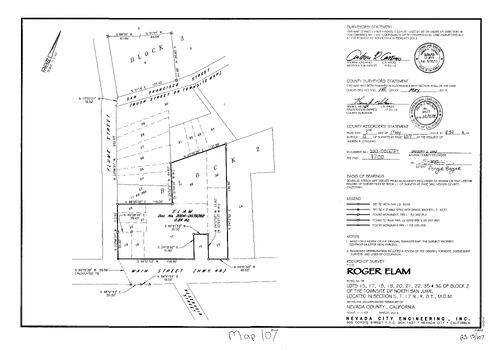
Record of Survey Book 15, pg. 107 (2013)
NC Recorders Map Survey 15-107:
Record of Survey Book 15, pg. 107. Elam, Roger. North San Juan Block 2 lots 15,17,18-22,35, 36. Reservoir St.. Main St., North San Juan. State Highway 49. Flume St.. San Francisco St.. Bush St.
NC Recorders Map Survey 15-107:
Record of Survey Book 15, pg. 107. Elam, Roger. North San Juan Block 2 lots 15,17,18-22,35, 36. Reservoir St.. Main St., North San Juan. State Highway 49. Flume St.. San Francisco St.. Bush St.
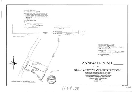
Record of Survey Book 15, pg. 108 (2013)
NC Recorders Map Survey 15-108:
Record of Survey Book 15, pg. 108. Nevada County Sanitation District #1 Annexation. Subdivision Book 2, pg. 21 lot 6. Spenceville Rd.
NC Recorders Map Survey 15-108:
Record of Survey Book 15, pg. 108. Nevada County Sanitation District #1 Annexation. Subdivision Book 2, pg. 21 lot 6. Spenceville Rd.
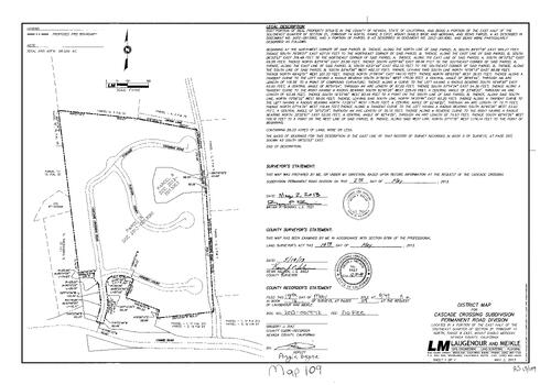
Record of Survey Book 15, pg. 109 (2013)
NC Recorders Map Survey 15-109:
Record of Survey Book 15, pg. 109. Cascade Crossing Subdivision Permanent Road Div.. Linton Lane. Cascade Crossing Rd.. Rubicon Ct.. Armstrong Rd.. Kenebec Ct.. Combie Rd.. T14N R8E Sec. 21
NC Recorders Map Survey 15-109:
Record of Survey Book 15, pg. 109. Cascade Crossing Subdivision Permanent Road Div.. Linton Lane. Cascade Crossing Rd.. Rubicon Ct.. Armstrong Rd.. Kenebec Ct.. Combie Rd.. T14N R8E Sec. 21
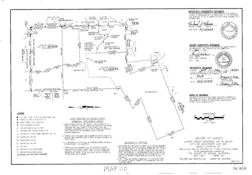
Record of Survey Book 15, pg. 110 (2013)
NC Recorders Map Survey 15-110:
Record of Survey Book 15, pg. 110. Advent Ministries Inc.. T16N R9E Sec. 9. Willow Valley Mines Rd.. New Constitution Lode. Record of Survey Book 4, pg. 134
NC Recorders Map Survey 15-110:
Record of Survey Book 15, pg. 110. Advent Ministries Inc.. T16N R9E Sec. 9. Willow Valley Mines Rd.. New Constitution Lode. Record of Survey Book 4, pg. 134
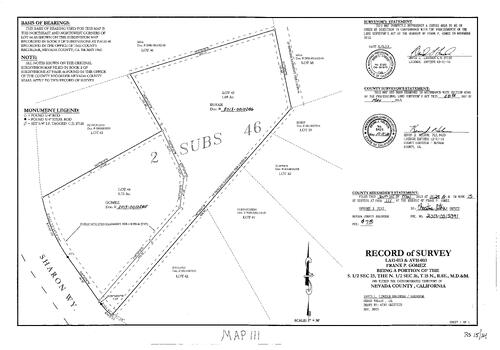
Record of Survey Book 15, pg. 111 (2013)
NC Recorders Map Survey 15-111:
Record of Survey Book 15, pg. 111. Subdivision Book 2, pg. 46. Sharon Way. Gomez, Frank P.. T15N R8E Sec. 23 & 26
NC Recorders Map Survey 15-111:
Record of Survey Book 15, pg. 111. Subdivision Book 2, pg. 46. Sharon Way. Gomez, Frank P.. T15N R8E Sec. 23 & 26
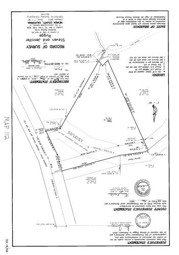
Record of Survey Book 15, pg. 112 (2013)
NC Recorders Map Survey 15-112:
NC Recorders Map Survey 15-112:
Record of Survey Book 15, pg. 112. Rugge, Steven & Jennifer. Madrona Springs Acres Lots 18 & 20... See More
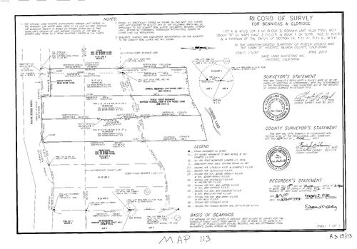
Record of Survey Book 15, pg. 113 (2013)
NC Recorders Map Survey 15-113:
Record of Survey Book 15, pg. 113. Bennicas & Eldridge. Subdivision Book 1, pg. 34 Block 2 lot 3, 4. Donner Lake Villa #1. Shore Dr., South. Nevada/Placer County line
NC Recorders Map Survey 15-113:
Record of Survey Book 15, pg. 113. Bennicas & Eldridge. Subdivision Book 1, pg. 34 Block 2 lot 3, 4. Donner Lake Villa #1. Shore Dr., South. Nevada/Placer County line
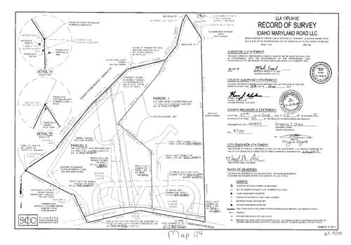
Record of Survey Book 15, pg. 114 (2013)
NC Recorders Map Survey 15-114:
Record of Survey Book 15, pg. 114. Idaho Maryland Road LLC. T16N R8E Sec. 26. Golden Center Freeway. Subdivision Book 7, pg. 99 parcel 8. Old Barn Self Storage
NC Recorders Map Survey 15-114:
Record of Survey Book 15, pg. 114. Idaho Maryland Road LLC. T16N R8E Sec. 26. Golden Center Freeway. Subdivision Book 7, pg. 99 parcel 8. Old Barn Self Storage
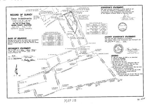
Record of Survey Book 15, pg. 115 (2013)
NC Recorders Map Survey 15-115:
Record of Survey Book 15, pg. 115. Swan Investments. T16N R8E Sec. 26. Main St., East. Golden Center Freeway
NC Recorders Map Survey 15-115:
Record of Survey Book 15, pg. 115. Swan Investments. T16N R8E Sec. 26. Main St., East. Golden Center Freeway
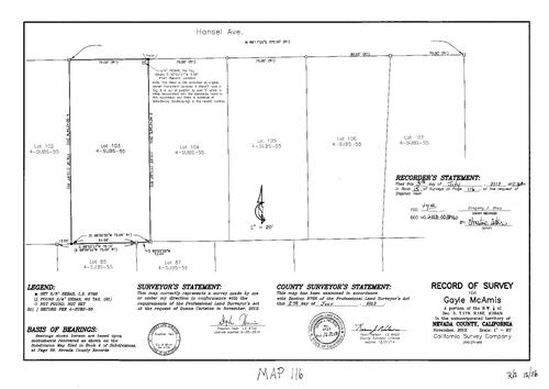
Record of Survey Book 15, pg. 116 (2013)
NC Recorders Map Survey 15-116:
Record of Survey Book 15, pg. 116. McAmis, Gayle. T17N R16E Sec. 5. Hansel Ave.. Subdivision Book 4, pg. 55
NC Recorders Map Survey 15-116:
Record of Survey Book 15, pg. 116. McAmis, Gayle. T17N R16E Sec. 5. Hansel Ave.. Subdivision Book 4, pg. 55
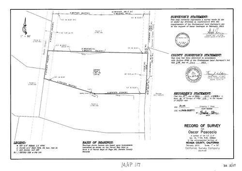
Record of Survey Book 15, pg. 117 (2013)
NC Recorders Map Survey 15-117:
Record of Survey Book 15, pg. 117. Pascacio, Oscar. T16N R8E Sec. 29. Squirrel Creek Rd.. Basin St.. Parcel Map 4 Book, Pg. 160 parcel 4. Parcel Map Book 3, pg. 206 parcel 4
NC Recorders Map Survey 15-117:
Record of Survey Book 15, pg. 117. Pascacio, Oscar. T16N R8E Sec. 29. Squirrel Creek Rd.. Basin St.. Parcel Map 4 Book, Pg. 160 parcel 4. Parcel Map Book 3, pg. 206 parcel 4
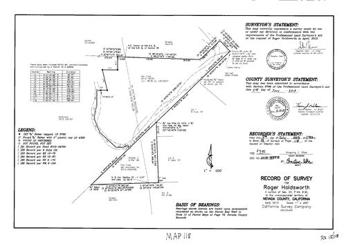
Record of Survey Book 15, pg. 118 (2013)
NC Recorders Map Survey 15-118:
Record of Survey Book 15, pg. 118. Holdsworth, Roger. T14N R8E Sec. 20. Wolf Creek, South. Subdivision Book 8, pg. 181. Parcel Map Book 5, pg. 98. HAJ Trust
NC Recorders Map Survey 15-118:
Record of Survey Book 15, pg. 118. Holdsworth, Roger. T14N R8E Sec. 20. Wolf Creek, South. Subdivision Book 8, pg. 181. Parcel Map Book 5, pg. 98. HAJ Trust
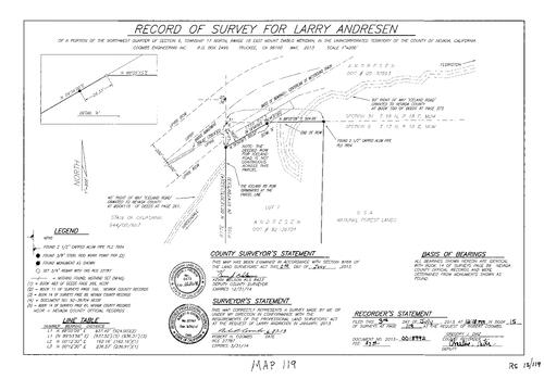
Record of Survey Book 15, pg. 119 (2013)
NC Recorders Map Survey 15-119:
Record of Survey Book 15, pg. 119. Andresen, Larry. U.P.R.R.. Iceland Rd.. U. S. Nationa Forest. T17N R8E Sec. 6
NC Recorders Map Survey 15-119:
Record of Survey Book 15, pg. 119. Andresen, Larry. U.P.R.R.. Iceland Rd.. U. S. Nationa Forest. T17N R8E Sec. 6
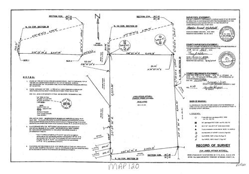
Record of Survey Book 15, pg. 120 (2013)
NC Recorders Map Survey 15-120:
Record of Survey Book 15, pg. 120. Mitchell, James Arthur. Mitchell, Charles Ernest. T17N R8E Sec. 29
NC Recorders Map Survey 15-120:
Record of Survey Book 15, pg. 120. Mitchell, James Arthur. Mitchell, Charles Ernest. T17N R8E Sec. 29
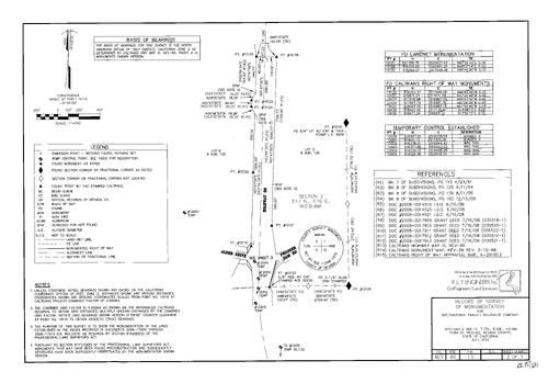
Record of Survey Book 15, pg. 121 (2013)
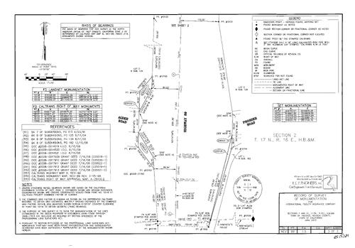
NC Recorders Map Survey 15-121-1:
Record of Survey Book 15, pg. 121. T17N R16E Sec. 2. International Fidelity Insurance Co.. Alder Dr.. State Highway 89. Prosser Dam Rd.
NC Recorders Map Survey 15-121-1:
Record of Survey Book 15, pg. 121. T17N R16E Sec. 2. International Fidelity Insurance Co.. Alder Dr.. State Highway 89. Prosser Dam Rd.
Record of Survey Book 15, pg. 121 (2013)
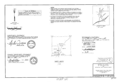
NC Recorders Map Survey 15-121-2:
Record of Survey Book 15, pg. 121. T17N R16E Sec. 2. International Fidelity Insurance Co.. Alder Dr.. State Highway 89. Prosser Dam Rd.
NC Recorders Map Survey 15-121-2:
Record of Survey Book 15, pg. 121. T17N R16E Sec. 2. International Fidelity Insurance Co.. Alder Dr.. State Highway 89. Prosser Dam Rd.
Record of Survey Book 15, pg. 121 (2013)
NC Recorders Map Survey 15-121-3:
Record of Survey Book 15, pg. 121. T17N R16E Sec. 2. International Fidelity Insurance Co.. Alder Dr.. State Highway 89. Prosser Dam Rd.
NC Recorders Map Survey 15-121-3:
Record of Survey Book 15, pg. 121. T17N R16E Sec. 2. International Fidelity Insurance Co.. Alder Dr.. State Highway 89. Prosser Dam Rd.
Record of Survey Book 15, pg. 122 (2013)
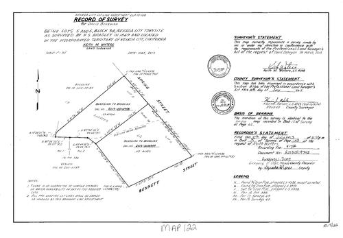
NC Recorders Map Survey 15-122:
Record of Survey Book 15, pg. 122. Bohegian, David. Nevada City Townsite Block 38, lots 5, 6. Spring St.. Bennett St.. Record of Survey Book 15, pg. 62
NC Recorders Map Survey 15-122:
Record of Survey Book 15, pg. 122. Bohegian, David. Nevada City Townsite Block 38, lots 5, 6. Spring St.. Bennett St.. Record of Survey Book 15, pg. 62
Record of Survey Book 15, pg. 123 (2013)
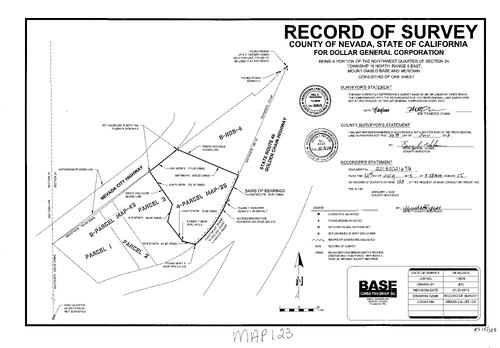
NC Recorders Map Survey 15-123:
Record of Survey Book 15, pg. 123. Dollar General Corporation. Golden Center Freeway. Nevada City Highway. Parcel Map Book 5, pg. 43. Parcel Map Book 4, pg. 25
NC Recorders Map Survey 15-123:
Record of Survey Book 15, pg. 123. Dollar General Corporation. Golden Center Freeway. Nevada City Highway. Parcel Map Book 5, pg. 43. Parcel Map Book 4, pg. 25
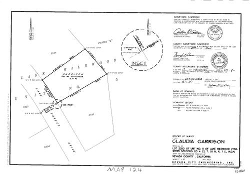
Record of Survey Book 15, pg. 124 (2013)
NC Recorders Map Survey 15-124:
Record of Survey Book 15, pg. 124. Garrison, Claudia. Lake Wildwood Unit 5 lot 2183. T16N R7E Sec. 20, 21. Lake Forest Dr.
NC Recorders Map Survey 15-124:
Record of Survey Book 15, pg. 124. Garrison, Claudia. Lake Wildwood Unit 5 lot 2183. T16N R7E Sec. 20, 21. Lake Forest Dr.
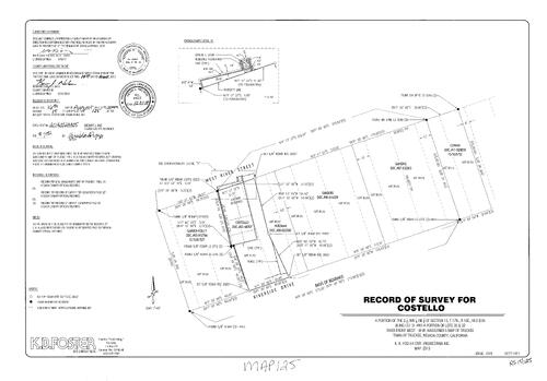
Record of Survey Book 15, pg. 125 (2013)
NC Recorders Map Survey 15-125:
Record of Survey Book 15, pg. 125. River St., West. Riverside Dr.. Costello,. T17N R16E Sec. 15. River Front, West Lot 30, 31,32
NC Recorders Map Survey 15-125:
Record of Survey Book 15, pg. 125. River St., West. Riverside Dr.. Costello,. T17N R16E Sec. 15. River Front, West Lot 30, 31,32
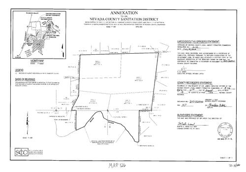
Record of Survey Book 15, pg. 126 (2013)
NC Recorders Map Survey 15-126:
Record of Survey Book 15, pg. 126. Nevada County Sanitation Dist. Annexation. Rincon Way. Bear River. Record of Survey Book 12, pg. 377. T14N R8E Sec. 33. T13N R8E Sec. 4
NC Recorders Map Survey 15-126:
Record of Survey Book 15, pg. 126. Nevada County Sanitation Dist. Annexation. Rincon Way. Bear River. Record of Survey Book 12, pg. 377. T14N R8E Sec. 33. T13N R8E Sec. 4
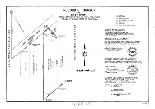
Record of Survey Book 15, pg. 127 (2013)
NC Recorders Map Survey 15-127:
Record of Survey Book 15, pg. 127. Benton, Diane P.. T15N R8E Sec. 12. LaBarr Meadows Dr.
NC Recorders Map Survey 15-127:
Record of Survey Book 15, pg. 127. Benton, Diane P.. T15N R8E Sec. 12. LaBarr Meadows Dr.
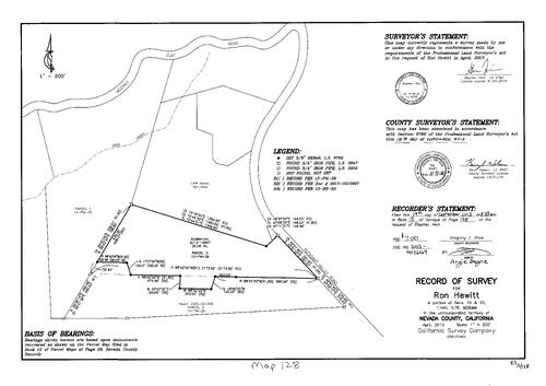
Record of Survey Book 15, pg. 128 (2013)
NC Recorders Map Survey 15-128:
Record of Survey Book 15, pg. 128. Hewitt, Ron. T16N R7E Sec. 19, 20. Mooney Flat Rd.. Pleasant Valley Rd.. Deer Creek. Parcel Map Book 13, pg. 29 parcel 1, 2
NC Recorders Map Survey 15-128:
Record of Survey Book 15, pg. 128. Hewitt, Ron. T16N R7E Sec. 19, 20. Mooney Flat Rd.. Pleasant Valley Rd.. Deer Creek. Parcel Map Book 13, pg. 29 parcel 1, 2
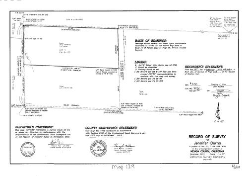
Record of Survey Book 15, pg. 129 (2013)
NC Recorders Map Survey 15-129:
Record of Survey Book 15, pg. 129. Burns, Jennifer. T16N R6E Sec. 23
NC Recorders Map Survey 15-129:
Record of Survey Book 15, pg. 129. Burns, Jennifer. T16N R6E Sec. 23
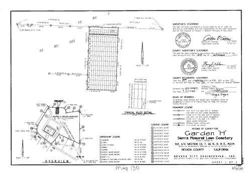
Record of Survey Book 15, pg. 130 (2013)
NC Recorders Map Survey 15-130:
Record of Survey Book 15, pg. 130. Hooper & Weaver Mortuary. Sierra Memorial Lawn Cemetery Garden "H". Parcel Map Book 19, pg. 50. Bost Ave.. Record of Survey Book 12, pg. 325
NC Recorders Map Survey 15-130:
Record of Survey Book 15, pg. 130. Hooper & Weaver Mortuary. Sierra Memorial Lawn Cemetery Garden "H". Parcel Map Book 19, pg. 50. Bost Ave.. Record of Survey Book 12, pg. 325
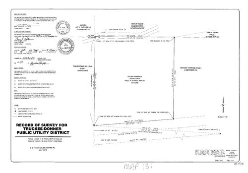
Record of Survey Book 15, pg. 131 (2013)
NC Recorders Map Survey 15-131:
Record of Survey Book 15, pg. 131. Truckee Donner Public Utility District. Parcel Map Book 15, pg. 68 parcel 1. River View Dr.. Subdivision Book 8, pg. 126. Parcel Map Book 18, pg. 233
NC Recorders Map Survey 15-131:
Record of Survey Book 15, pg. 131. Truckee Donner Public Utility District. Parcel Map Book 15, pg. 68 parcel 1. River View Dr.. Subdivision Book 8, pg. 126. Parcel Map Book 18, pg. 233
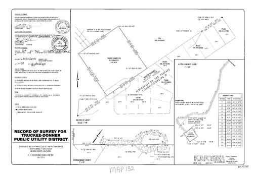
Record of Survey Book 15, pg. 132 (2013)
NC Recorders Map Survey 15-132:
Record of Survey Book 15, pg. 132. Truckee Donner Public Utility District. T18N R17E Sec. 34. Subdivision Book 1, pg. 37. Hirschdale on the Truckee
NC Recorders Map Survey 15-132:
Record of Survey Book 15, pg. 132. Truckee Donner Public Utility District. T18N R17E Sec. 34. Subdivision Book 1, pg. 37. Hirschdale on the Truckee
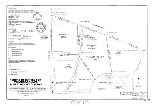
Record of Survey Book 15, pg. 133 (2013)
NC Recorders Map Survey 15-133:
Record of Survey Book 15, pg. 133. Truckee Donner Public Utility District. Donner Lake Rd.. Subdivision Book 6, pg. 4. Cedar Point Dr.. T17N R15E Sec. 14
NC Recorders Map Survey 15-133:
Record of Survey Book 15, pg. 133. Truckee Donner Public Utility District. Donner Lake Rd.. Subdivision Book 6, pg. 4. Cedar Point Dr.. T17N R15E Sec. 14
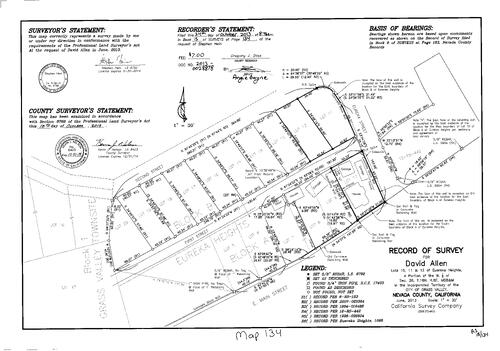
Record of Survey, Book 15, pg. 134 (2013)
NC Recorders Map Survey 15-134:
NC Recorders Map Survey 15-134:
Allen, David. First St., G.V.. Second St., G.V.. Eureka St., G.V.. Main St., East, G.V.. Eureka Heights, Lots 10, 11, 12. Record of Survey Book 15, pg. 134. T16N R8E Sec. 26 lots 10, 11, 12. Eureka Heights Block... See More
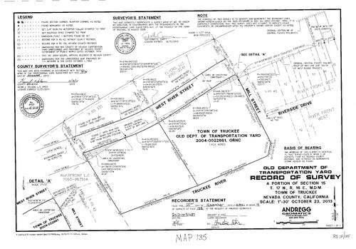
Record of Survey, Book 15, pg. 135 (2013)
NC Recorders Map Survey 15-135:
NC Recorders Map Survey 15-135:
Truckee, Town of, old Dept. of Transportation Yard. River St., West. Mill St., Truckee. Truckee River. Riverside Dr., Truckee. Record of Survey Book 15, pg. 135. Dept. of Transportation Yard (Old, Truckee). Flyers... See More
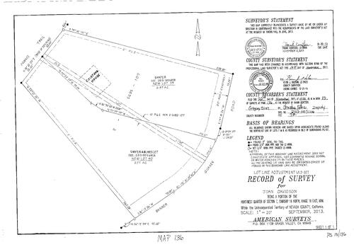
Record of Survey, Book 15, pg. 136 (2013)
NC Recorders Map Survey 15-136:
Davidson, Joan (Lot Line Adjustment). Banner Quaker Rd.. Pawnee Trail. Shafter & Blanscet. T16N R10E Sec. 7. Subdivision book 2, pg. 107. Record of Survey Book 15, pg. 136
NC Recorders Map Survey 15-136:
Davidson, Joan (Lot Line Adjustment). Banner Quaker Rd.. Pawnee Trail. Shafter & Blanscet. T16N R10E Sec. 7. Subdivision book 2, pg. 107. Record of Survey Book 15, pg. 136
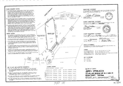
Record of Survey, Book 15, pg. 137 (2013)
NC Recorders Map Survey 15-137:
Sperlazza, James. Lake Wildwood Unit 2 lot 692. Record of Survey Book 15, pg. 137. Subdivision Book 3, pg. 39
NC Recorders Map Survey 15-137:
Sperlazza, James. Lake Wildwood Unit 2 lot 692. Record of Survey Book 15, pg. 137. Subdivision Book 3, pg. 39
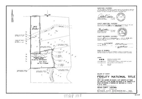
Record of Survey, Book 15, pg. 138 (2013)
NC Recorders Map Survey 15-138:
NC Recorders Map Survey 15-138:
Fidelity Nationa Title. Big Oak Valley. Ince Trust. Chanterelle Lane. Big Oak Dr.. Record of Survey Book 15, pg. 138. Fidelity National Title. T15N R6E Sec. 2. Record of Survey Book 4, pg. 147 lot 3. Record of... See More
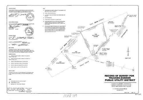
Record of Survey, Book 15, pg. 139 (2013)
NC Recorders Map Survey 15-139:
Truckee-Donner Public Utility District. Jiboom St., East. Trout Creek. State Highway 267. Record of Survey Book 15, pg. 139. Truckee Donner Public Utility District. T17N R16E Sec. 10. Jibboom St., East
NC Recorders Map Survey 15-139:
Truckee-Donner Public Utility District. Jiboom St., East. Trout Creek. State Highway 267. Record of Survey Book 15, pg. 139. Truckee Donner Public Utility District. T17N R16E Sec. 10. Jibboom St., East
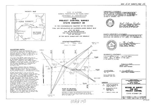
Record of Survey, Book 15, pg. 140 (2013)
NC Recorders Map Survey 15-140-1:
NC Recorders Map Survey 15-140-1:
State Highway 20, GPS Control Project,. Record of Survey Book 15, pg. 140. State Highway 20 GPS Project Control. State of California. T15N R4E Sec. 25. T15N R6 Sec. 19, 25, 28, 29, 30, 33, 34, 35, 36. T15N R7E... See More
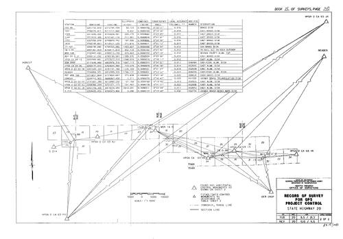
Record of Survey, Book 15, pg. 140 (2013)
NC Recorders Map Survey 15-140-2:
NC Recorders Map Survey 15-140-2:
State Highway 20, GPS Control Project,. Record of Survey Book 15, pg. 140. State Highway 20 GPS Project Control. State of California. T15N R4E Sec. 25. T15N R6 Sec. 19, 25, 28, 29, 30, 33, 34, 35, 36. T15N R7E... See More
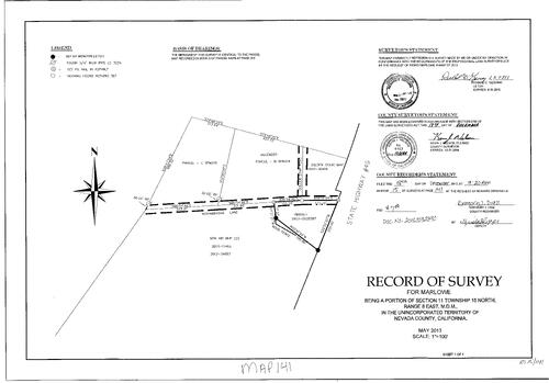
Record of Survey, Book 15, pg. 141 (2013)
NC Recorders Map Survey 15-141:
NC Recorders Map Survey 15-141:
Mountain Air Mobil Home Park. Marlowe. Norambagua Lane. Golden Star Rd.. Record of Survey Book 15, pg. 141T15N R8E Sec. 11. State Highway 49. Parcel Map Book 5, pg. 216. Golden State Mobile Home Park. Mountain Air... See More
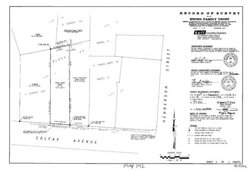
Record of Survey, Book 15, pg. 142 (2013)
NC Recorders Map Survey 15-142:
Ewing Family Trust. Colfax Ave.. Henderson St.. Record of Survey Book 15, pg. 142. Record of Survey Book 6, pg. 116. Parcel Map Book 11, pg. 15. Grass Valley Townsite Block 34 lot 7. T16N R8E Sec. 27
NC Recorders Map Survey 15-142:
Ewing Family Trust. Colfax Ave.. Henderson St.. Record of Survey Book 15, pg. 142. Record of Survey Book 6, pg. 116. Parcel Map Book 11, pg. 15. Grass Valley Townsite Block 34 lot 7. T16N R8E Sec. 27
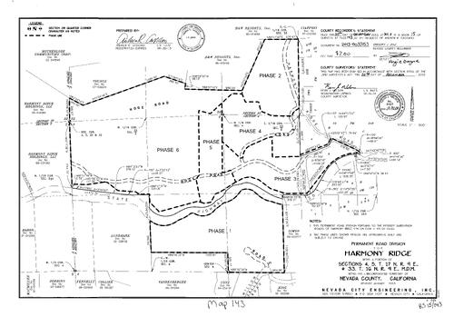
Record of Survey, Book 15, pg. 143 (2013)
NC Recorders Map Survey 15-143:
Harmony Ridge Permanent Road Division. State Highway 20. Harmony Ridge Rd.. Willow Valley Rd.. Record of Survey Book 15, pg. 143. T16N R9E Sec. 33. T17N R9E Sec. 4 & 5. Hoge Rd.. Road "B". Road "C"
NC Recorders Map Survey 15-143:
Harmony Ridge Permanent Road Division. State Highway 20. Harmony Ridge Rd.. Willow Valley Rd.. Record of Survey Book 15, pg. 143. T16N R9E Sec. 33. T17N R9E Sec. 4 & 5. Hoge Rd.. Road "B". Road "C"
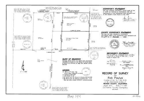
Record of Survey, Book 15, pg. 144 (2013)
NC Recorders Map Survey 15-144:
Paulus, Robert E., III, "Rob". Paulus, Christopher & Shirley. Record of Survey Book 15, pg. 144. T18N R11E Sec. 14
NC Recorders Map Survey 15-144:
Paulus, Robert E., III, "Rob". Paulus, Christopher & Shirley. Record of Survey Book 15, pg. 144. T18N R11E Sec. 14
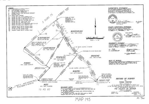
Record of Survey Book 15, pg. 145 (2014)
NC Recorders Map Survey 15-145:
Record of Survey Book 15, pg. 145. Tonoyan, Tigran. Mooney Flat Townsite Block 1 lot 10. T16N R6E Sec. 26. Logue Lane. Subdivision Book 2, pg. 75. Record of Survey Book 15, pg. 83
NC Recorders Map Survey 15-145:
Record of Survey Book 15, pg. 145. Tonoyan, Tigran. Mooney Flat Townsite Block 1 lot 10. T16N R6E Sec. 26. Logue Lane. Subdivision Book 2, pg. 75. Record of Survey Book 15, pg. 83
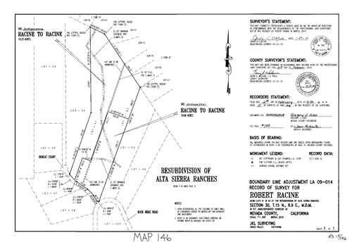
Record of Survey Book 15, pg. 146 (2014)
NC Recorders Map Survey 15-146:
Record of Survey Book 15, pg. 146. Bobcat Court. Buck Ridge Rd.. T15N R9E Sec. 30. Subdivision Book 3, pg. 31 Lots 41, 42
NC Recorders Map Survey 15-146:
Record of Survey Book 15, pg. 146. Bobcat Court. Buck Ridge Rd.. T15N R9E Sec. 30. Subdivision Book 3, pg. 31 Lots 41, 42
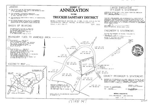
Record of Survey Book 15, pg. 147 (2014)
NC Recorders Map Survey 15-147:
Record of Survey Book 15, pg. 147. Truckee Sanitary District Annexation. T18N R17E Sec. 33. Whitehorse Rd.. Stallion Way
NC Recorders Map Survey 15-147:
Record of Survey Book 15, pg. 147. Truckee Sanitary District Annexation. T18N R17E Sec. 33. Whitehorse Rd.. Stallion Way
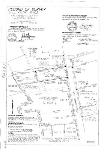
Record of Survey Book 15, pg. 148 (2014)
NC Recorders Map Survey 15-148:
NC Recorders Map Survey 15-148:
Record of Survey Book 15, pg. 148. Racz, Kathy. Grass Valley Townsite Block 5 lot 6. Auburn St.,... See More
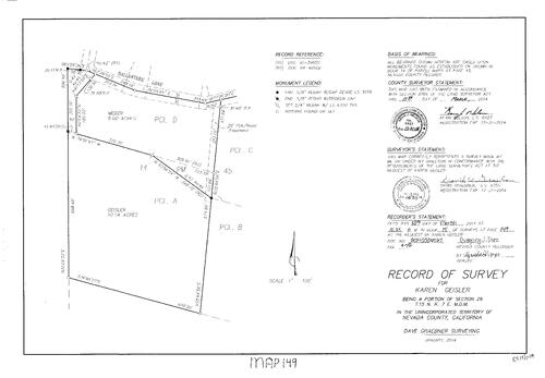
Record of Survey Book 15, pg. 149 (2014)
NC Recorders Map Survey 15-149:
Record of Survey Book 15, pg. 149. Geisler, Karen. T15N R7E Sec. 26. Ballantree Lane
NC Recorders Map Survey 15-149:
Record of Survey Book 15, pg. 149. Geisler, Karen. T15N R7E Sec. 26. Ballantree Lane
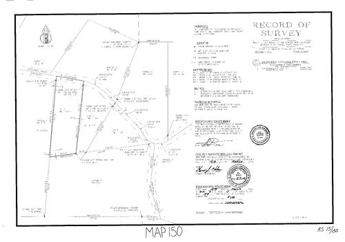
Record of Survey Book 15, pg. 150 (2014)
NC Recorders Map Survey 15-150:
Record of Survey Book 15, pg. 150. Horn, Ella. Parcel Map Book 11, pg. 141 parcel 1. McDaniel Rd.
NC Recorders Map Survey 15-150:
Record of Survey Book 15, pg. 150. Horn, Ella. Parcel Map Book 11, pg. 141 parcel 1. McDaniel Rd.
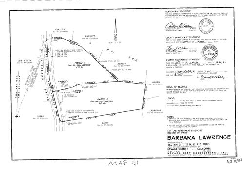
Record of Survey Book 15, pg. 151 (2014)
NC Recorders Map Survey 15-151:
Record of Survey Book 15, pg. 151. Lawrence, Barbara. T15N R9E Sec. 6. Highland Dr.. Record of Survey Book 5, pg. 202
NC Recorders Map Survey 15-151:
Record of Survey Book 15, pg. 151. Lawrence, Barbara. T15N R9E Sec. 6. Highland Dr.. Record of Survey Book 5, pg. 202
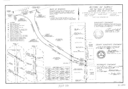
Record of Survey Book 15, pg. 152 (2014)
NC Recorders Map Survey 15-152:
Record of Survey Book 15, pg. 152. Glenshire Dr. Right of Way. San Francisco Fly Casting Club. Subdivision Book 3, pg. 32
NC Recorders Map Survey 15-152:
Record of Survey Book 15, pg. 152. Glenshire Dr. Right of Way. San Francisco Fly Casting Club. Subdivision Book 3, pg. 32
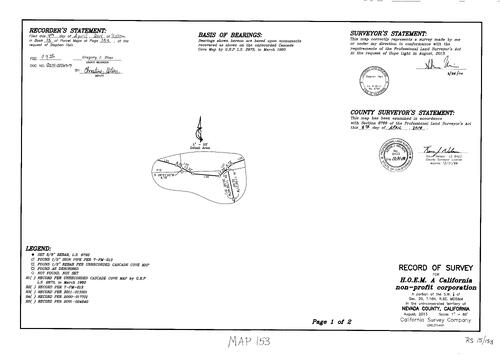
Record of Survey Book 15, pg. 153 (2014)
NC Recorders Map Survey 15-153-1:
Record of Survey Book 15, pg. 153. H.O.E.M.. T16N R9E Sec. 20. Morro Dr.. Bolinas Way. Cascade Cove. Parcel Map Book 7, pg. 213
NC Recorders Map Survey 15-153-1:
Record of Survey Book 15, pg. 153. H.O.E.M.. T16N R9E Sec. 20. Morro Dr.. Bolinas Way. Cascade Cove. Parcel Map Book 7, pg. 213
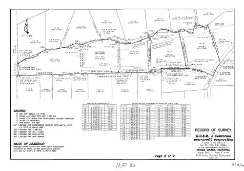
Record of Survey Book 15, pg. 153 (2014)
NC Recorders Map Survey 15-153-2:
Record of Survey Book 15, pg. 153. H.O.E.M.. T16N R9E Sec. 20. Morro Dr.. Bolinas Way. Cascade Cove. Parcel Map Book 7, pg. 213
NC Recorders Map Survey 15-153-2:
Record of Survey Book 15, pg. 153. H.O.E.M.. T16N R9E Sec. 20. Morro Dr.. Bolinas Way. Cascade Cove. Parcel Map Book 7, pg. 213
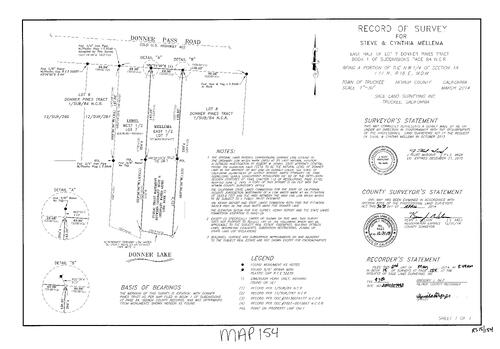
Record of Survey Book 15, pg. 154 (2014)
NC Recorders Map Survey 15-154:
Record of Survey Book 15, pg. 154. Mellema, Steve & Cynthia. Subdivision Book 1, pg. 84 lot 7. T17N R16E Sec. 18. Donner Pass Rd.. Donner Lake
NC Recorders Map Survey 15-154:
Record of Survey Book 15, pg. 154. Mellema, Steve & Cynthia. Subdivision Book 1, pg. 84 lot 7. T17N R16E Sec. 18. Donner Pass Rd.. Donner Lake
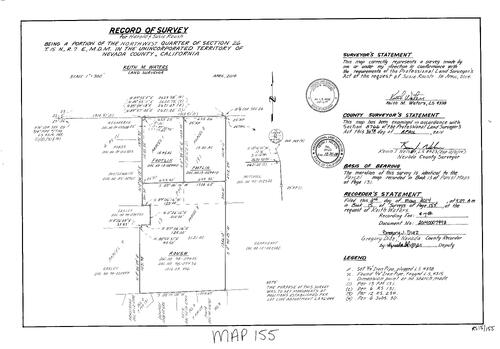
Record of Survey Book 15, pg. 155 (2014)
NC Recorders Map Survey 15-155:
Record of Survey Book 15, pg. 155. Roush, Harold & Susie. T15N R7E Sec. 26. Parcel Map Book 13,pg. 131
NC Recorders Map Survey 15-155:
Record of Survey Book 15, pg. 155. Roush, Harold & Susie. T15N R7E Sec. 26. Parcel Map Book 13,pg. 131
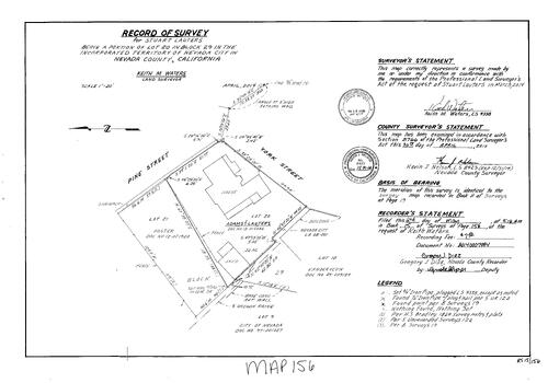
Record of Survey Book 15, pg. 156 (2014)
NC Recorders Map Survey 15-156:
Record of Survey Book 15, pg. 156. Lauters, Stuard. Nevada City Block 29 lot 20. Pine St., North. York St.. Oregon Ravine
NC Recorders Map Survey 15-156:
Record of Survey Book 15, pg. 156. Lauters, Stuard. Nevada City Block 29 lot 20. Pine St., North. York St.. Oregon Ravine
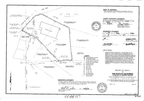
Record of Survey Book 15, pg. 157 (2014)
NC Recorders Map Survey 15-157:
NC Recorders Map Survey 15-157:
Record of Survey Book 15, pg. 157. State of California. T16N R8E Sec. 13. Armory Building. NCHS History Center. Nevada City Highway. Ridge Rd.. Parcel Map Book 10, pg 147. Sierra Presbyterian Church. Record of... See More
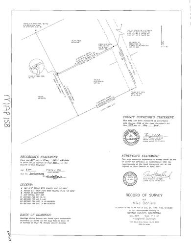
Record of Survey Book 15, pg. 158 (2014)
NC Recorders Map Survey 15-158:
Record of Survey Book 15, pg. 158. Daniels, Mike. T16N R9E Sec. 21. Lava Dome Way. Lava Cap Mine Rd.
NC Recorders Map Survey 15-158:
Record of Survey Book 15, pg. 158. Daniels, Mike. T16N R9E Sec. 21. Lava Dome Way. Lava Cap Mine Rd.
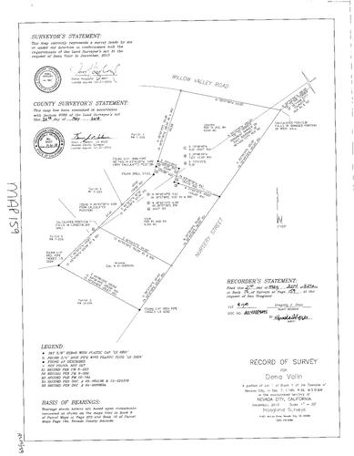
Record of Survey Book 15, pg. 159 (2014)
NC Recorders Map Survey 15-159:
Record of Survey Book 15, pg. 159. Valin, Dena. Nevada City Block 1 Lot 1. T16N R9E Sec. 7. Nursery St.
NC Recorders Map Survey 15-159:
Record of Survey Book 15, pg. 159. Valin, Dena. Nevada City Block 1 Lot 1. T16N R9E Sec. 7. Nursery St.
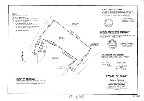
Record of Survey Book 15, pg. 160 (2014)
NC Recorders Map Survey 15-160:
Record of Survey Book 15, pg. 160. Tucker, Tyson. T16N R8E Sec. 13. Nevada City Highway. Lower Grass Valley Dr.. Superior Propane. Sierra View LLC
NC Recorders Map Survey 15-160:
Record of Survey Book 15, pg. 160. Tucker, Tyson. T16N R8E Sec. 13. Nevada City Highway. Lower Grass Valley Dr.. Superior Propane. Sierra View LLC
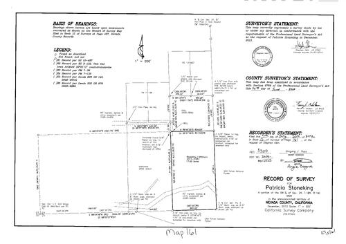
Record of Survey Book 15, pg. 161 (2014)
NC Recorders Map Survey 15-161:
Record of Survey Book 15, pg. 161. Stoneking, Patricia. T18N R10E Sec. 24. U. S. Tahoe National Forest
NC Recorders Map Survey 15-161:
Record of Survey Book 15, pg. 161. Stoneking, Patricia. T18N R10E Sec. 24. U. S. Tahoe National Forest
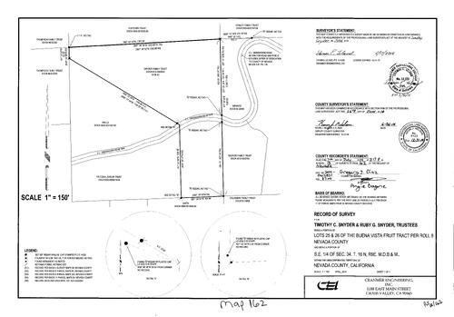
Record of Survey Book 15, pg. 162 (2014)
NC Recorders Map Survey 15-162:
Record of Survey Book 15, pg. 162. Snyder, Timothy C.. Snyder, Ruby G.. T16N R9E Sec. 34. Buena Vista Fruit Tract Lot 25, 26. Greenhorn Rd.. Snyder Family Trust
NC Recorders Map Survey 15-162:
Record of Survey Book 15, pg. 162. Snyder, Timothy C.. Snyder, Ruby G.. T16N R9E Sec. 34. Buena Vista Fruit Tract Lot 25, 26. Greenhorn Rd.. Snyder Family Trust
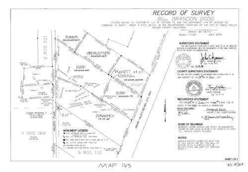
Record of Survey Book 15, pg. 163 (2014)
NC Recorders Map Survey 15-163:
Record of Survey Book 15, pg. 163. Dodd, Brandon. T16N R8E Sec. 13, 24. Miller's Place. Grass Valley/Nevada City Hwy.
NC Recorders Map Survey 15-163:
Record of Survey Book 15, pg. 163. Dodd, Brandon. T16N R8E Sec. 13, 24. Miller's Place. Grass Valley/Nevada City Hwy.
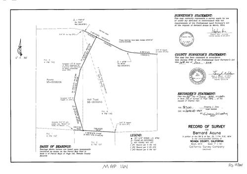
Record of Survey Book 15, pg. 164 (2014)
NC Recorders Map Survey 15-164:
Record of Survey Book 15, pg. 164. Acuna, Bernard. Rector Rd.. T17N R9E Sec. 30. Parcel Map Book 4, pg. 145 parcel A&B. Parcel Map Book 6, pg. 197
NC Recorders Map Survey 15-164:
Record of Survey Book 15, pg. 164. Acuna, Bernard. Rector Rd.. T17N R9E Sec. 30. Parcel Map Book 4, pg. 145 parcel A&B. Parcel Map Book 6, pg. 197
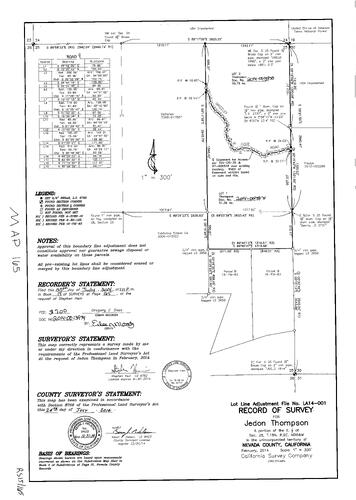
Record of Survey Book 15, pg. 165 (2014)
NC Recorders Map Survey 15-165:
Record of Survey Book 15, pg. 165. Thompson, Jedon. T18N R9E Sec. 25. Grizzly Ridge Rd.
NC Recorders Map Survey 15-165:
Record of Survey Book 15, pg. 165. Thompson, Jedon. T18N R9E Sec. 25. Grizzly Ridge Rd.
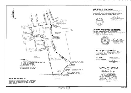
Record of Survey Book 15, pg. 166 (2014)
NC Recorders Map Survey 15-166:
Record of Survey Book 15, pg. 166. Jones, Mirriam. T16N R9E Sec. 20. Idaho Maryland Rd.. Subdivision Book 2, pg. 26. Juniper Dr.
NC Recorders Map Survey 15-166:
Record of Survey Book 15, pg. 166. Jones, Mirriam. T16N R9E Sec. 20. Idaho Maryland Rd.. Subdivision Book 2, pg. 26. Juniper Dr.
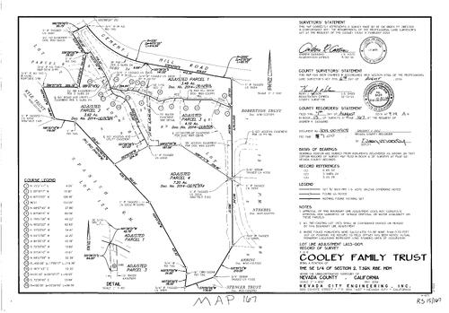
Record of Survey Book 15, pg. 167 (2014)
NC Recorders Map Survey 15-167:
Record of Survey Book 15, pg. 167. Cooley Family Trust. T16N R8E Sec. 2. Cement Hill Rd.. Subdivision Book 3, pg. 24. Spanish Quartz Mine lot 122. NID Red Hill Ditch
NC Recorders Map Survey 15-167:
Record of Survey Book 15, pg. 167. Cooley Family Trust. T16N R8E Sec. 2. Cement Hill Rd.. Subdivision Book 3, pg. 24. Spanish Quartz Mine lot 122. NID Red Hill Ditch
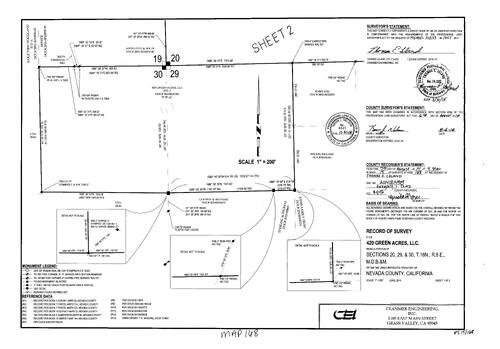
Record of Survey Book 15, pg. 168 (2014)
NC Recorders Map Survey 15-168-1:
Record of Survey Book 15, pg. 168. 420 Green Acres LLC. T16N R8E Sec. 20, 29, 30. Baltic Gravel Mining Co.. Rough & Ready Hwy.
NC Recorders Map Survey 15-168-1:
Record of Survey Book 15, pg. 168. 420 Green Acres LLC. T16N R8E Sec. 20, 29, 30. Baltic Gravel Mining Co.. Rough & Ready Hwy.
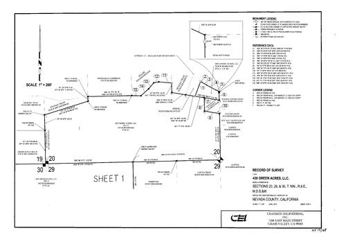
Record of Survey Book 15, pg. 168 (2014)
NC Recorders Map Survey 15-168-2:
Record of Survey Book 15, pg. 168. 420 Green Acres LLC. T16N R8E Sec. 20, 29, 30. Baltic Gravel Mining Co.. Rough & Ready Hwy.
NC Recorders Map Survey 15-168-2:
Record of Survey Book 15, pg. 168. 420 Green Acres LLC. T16N R8E Sec. 20, 29, 30. Baltic Gravel Mining Co.. Rough & Ready Hwy.
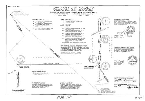
Record of Survey Book 15, pg. 169 (2014)
NC Recorders Map Survey 15-169:
Record of Survey Book 15, pg. 169. T18N R18E Sec. 6 & 7. Nevada/Sierra County Line. California/Nevada State Line. Record of Survey Book 15, pg. 57
NC Recorders Map Survey 15-169:
Record of Survey Book 15, pg. 169. T18N R18E Sec. 6 & 7. Nevada/Sierra County Line. California/Nevada State Line. Record of Survey Book 15, pg. 57
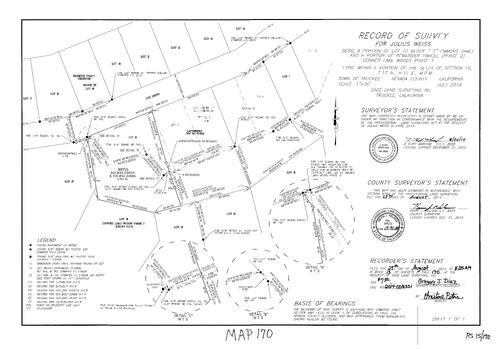
Record of Survey Book 15, pg. 170 (2014)
NC Recorders Map Survey 15-170:
Record of Survey Book 15, pg. 170. Ute Dr.. Subdivision Book 8, pg. 7. Weiss, Julius. Emmons Tract Block C Lot 10. Donner Lake Woods Phase 1. T17N R15E Sec. 15
NC Recorders Map Survey 15-170:
Record of Survey Book 15, pg. 170. Ute Dr.. Subdivision Book 8, pg. 7. Weiss, Julius. Emmons Tract Block C Lot 10. Donner Lake Woods Phase 1. T17N R15E Sec. 15
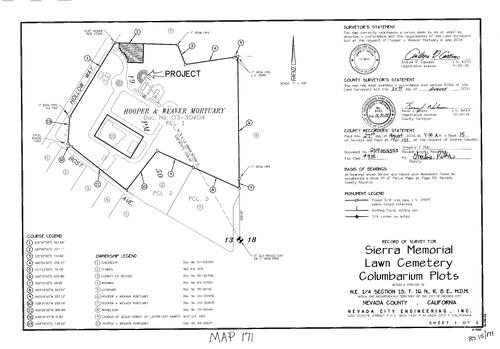
Record of Survey Book 15, pg. 171 (2014)
NC Recorders Map Survey 15-171-1:
Record of Survey Book 15, pg. 171. Sierra Memorial Lawn Cemetery Columbarium Plots. Hooper & Weaver Mortuary. Parcel Map Book 19, pg. 50. Hollow Way. Bost Ave.. T16N R8E Sec. 13
NC Recorders Map Survey 15-171-1:
Record of Survey Book 15, pg. 171. Sierra Memorial Lawn Cemetery Columbarium Plots. Hooper & Weaver Mortuary. Parcel Map Book 19, pg. 50. Hollow Way. Bost Ave.. T16N R8E Sec. 13
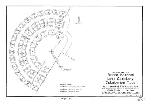
Record of Survey Book 15, pg. 171 (2014)
NC Recorders Map Survey 15-171-2:
Record of Survey Book 15, pg. 171. Sierra Memorial Lawn Cemetery Columbarium Plots. Hooper & Weaver Mortuary. Parcel Map Book 19, pg. 50. Hollow Way. Bost Ave.. T16N R8E Sec. 13
NC Recorders Map Survey 15-171-2:
Record of Survey Book 15, pg. 171. Sierra Memorial Lawn Cemetery Columbarium Plots. Hooper & Weaver Mortuary. Parcel Map Book 19, pg. 50. Hollow Way. Bost Ave.. T16N R8E Sec. 13
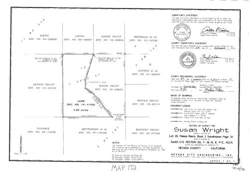
Record of Survey Book 15, pg. 172 (2014)
NC Recorders Map Survey 15-172:
Record of Survey Book 15, pg. 172. Wright, Susan. Subdivision Book 1, pg. 31 lot 15. Manion Ranch. T16N R9E Sec. 26
NC Recorders Map Survey 15-172:
Record of Survey Book 15, pg. 172. Wright, Susan. Subdivision Book 1, pg. 31 lot 15. Manion Ranch. T16N R9E Sec. 26
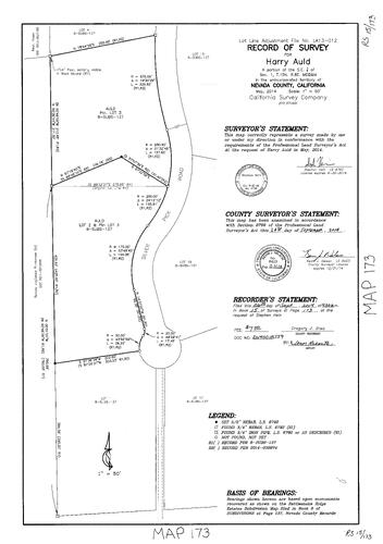
Record of Survey Book 15, pg. 173 (2014)
NC Recorders Map Survey 15-173:
NC Recorders Map Survey 15-173:
Record of Survey Book 15, pg. 173. Auld, Harry. T15N R8E Sec. 1. Subdivision Book 8, pg. 137... See More
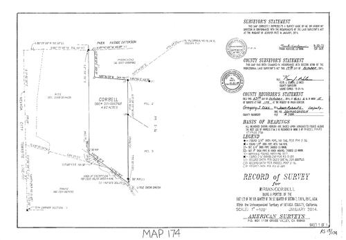
Record of Survey Book 15, pg. 174 (2014)
NC Recorders Map Survey 15-174:
Record of Survey Book 15, pg. 174. Corbell, Brian. Park Ave. Extension. Little Deer Creek. Nevada City Townsite Line. T16N R9E Sec. 7
NC Recorders Map Survey 15-174:
Record of Survey Book 15, pg. 174. Corbell, Brian. Park Ave. Extension. Little Deer Creek. Nevada City Townsite Line. T16N R9E Sec. 7
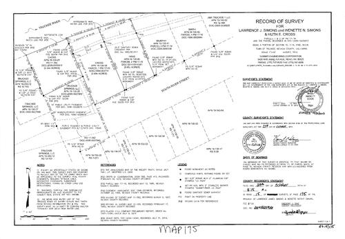
Record of Survey Book 15, pg. 175 (2014)
NC Recorders Map Survey 15-175:
Record of Survey Book 15, pg. 175. Simons, Lawrence J. & Wenette N.. Cross, Ruth E.. Parcel Map Book 17, pg. 16 parcel 1 & 2. T17N R16E Sec. 15. Truckee River. River St., South
NC Recorders Map Survey 15-175:
Record of Survey Book 15, pg. 175. Simons, Lawrence J. & Wenette N.. Cross, Ruth E.. Parcel Map Book 17, pg. 16 parcel 1 & 2. T17N R16E Sec. 15. Truckee River. River St., South
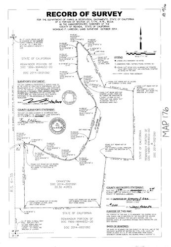
Record of Survey Book 15, pg. 176 (2014)
NC Recorders Map Survey 15-176:
Record of Survey Book 15, pg. 176. California Department of Recreation & Parks. T17N R7E Sec. 27
NC Recorders Map Survey 15-176:
Record of Survey Book 15, pg. 176. California Department of Recreation & Parks. T17N R7E Sec. 27
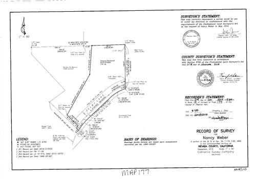
Record of Survey Book 15, pg. 177 (2014)
NC Recorders Map Survey 15-177:
Record of Survey Book 15, pg. 177. Weber, Nancy. Selby Lane. T17N R8E Sec. 36
NC Recorders Map Survey 15-177:
Record of Survey Book 15, pg. 177. Weber, Nancy. Selby Lane. T17N R8E Sec. 36
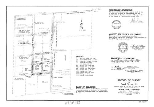
Record of Survey Book 15, pg. 178 (2014)
NC Recorders Map Survey 15-178:
Record of Survey Book 15, pg. 178. Schorcht, Fred. Kevin Lane. Justin Lane. Landon Lane. T15N R8E Sec. 4
NC Recorders Map Survey 15-178:
Record of Survey Book 15, pg. 178. Schorcht, Fred. Kevin Lane. Justin Lane. Landon Lane. T15N R8E Sec. 4

Record of Survey Book 15, pg. 179 (2014)
NC Recorders Map Survey 15-179-1:
Record of Survey Book 15, pg. 179. S.P.R.R.. Dolomite Way. Cinnabar Way. Dolomite Land Co., LLC. T17N R16E Sec. 16
NC Recorders Map Survey 15-179-1:
Record of Survey Book 15, pg. 179. S.P.R.R.. Dolomite Way. Cinnabar Way. Dolomite Land Co., LLC. T17N R16E Sec. 16
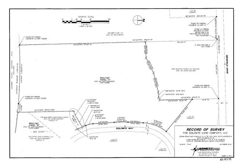
Record of Survey Book 15, pg. 179 (2014)
NC Recorders Map Survey 15-179-2:
Record of Survey Book 15, pg. 179. S.P.R.R.. Dolomite Way. Cinnabar Way. Dolomite Land Co., LLC. T17N R16E Sec. 16
NC Recorders Map Survey 15-179-2:
Record of Survey Book 15, pg. 179. S.P.R.R.. Dolomite Way. Cinnabar Way. Dolomite Land Co., LLC. T17N R16E Sec. 16
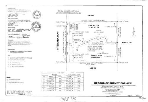
Record of Survey Book 15, pg. 180 (2014)
NC Recorders Map Survey 15-180:
Record of Survey Book 15, pg. 180. Subdivision Book 4, pg. 43 lots 177, 178. Sitzmark Way. T17N R16E Sec. 4
NC Recorders Map Survey 15-180:
Record of Survey Book 15, pg. 180. Subdivision Book 4, pg. 43 lots 177, 178. Sitzmark Way. T17N R16E Sec. 4
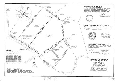
Record of Survey Book 15, pg. 181 (2014)
NC Recorders Map Survey 15-181:
Record of Survey Book 15, pg. 181. Krugler, Ken. T16N R9E Sec. 7. Uren St.. Bourbon Hill Rd.
NC Recorders Map Survey 15-181:
Record of Survey Book 15, pg. 181. Krugler, Ken. T16N R9E Sec. 7. Uren St.. Bourbon Hill Rd.
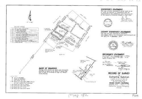
Record of Survey Book 15, pg. 182 (2014)
NC Recorders Map Survey 15-182:
Record of Survey Book 15, pg. 182. Gubman, Catherine. Grass Valley Block 45 lot 3. Church St., South. Mill St.
NC Recorders Map Survey 15-182:
Record of Survey Book 15, pg. 182. Gubman, Catherine. Grass Valley Block 45 lot 3. Church St., South. Mill St.
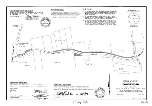
Record of Survey Book 15, pg. 183 (2014)
NC Recorders Map Survey 15-183-1:
Record of Survey Book 15, pg. 183. Combie Rd.. State Highway 49. Hacienda Dr., West. Magnolia Rd.. T14N R8E Sec. 21, 22, 27, 28. Record of Survey Book 14, pg. 103. Higgins Area Fire Protection District
NC Recorders Map Survey 15-183-1:
Record of Survey Book 15, pg. 183. Combie Rd.. State Highway 49. Hacienda Dr., West. Magnolia Rd.. T14N R8E Sec. 21, 22, 27, 28. Record of Survey Book 14, pg. 103. Higgins Area Fire Protection District
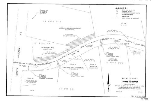
Record of Survey Book 15, pg. 183 (2014)
NC Recorders Map Survey 15-183-2:
Record of Survey Book 15, pg. 183. Combie Rd.. State Highway 49. Hacienda Dr., West. Magnolia Rd.. T14N R8E Sec. 21, 22, 27, 28. Record of Survey Book 14, pg. 103. Higgins Area Fire Protection District
NC Recorders Map Survey 15-183-2:
Record of Survey Book 15, pg. 183. Combie Rd.. State Highway 49. Hacienda Dr., West. Magnolia Rd.. T14N R8E Sec. 21, 22, 27, 28. Record of Survey Book 14, pg. 103. Higgins Area Fire Protection District
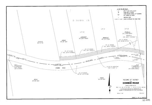
Record of Survey Book 15, pg. 183 (2014)
NC Recorders Map Survey 15-183-3:
Record of Survey Book 15, pg. 183. Combie Rd.. State Highway 49. Hacienda Dr., West. Magnolia Rd.. T14N R8E Sec. 21, 22, 27, 28. Record of Survey Book 14, pg. 103. Higgins Area Fire Protection District
NC Recorders Map Survey 15-183-3:
Record of Survey Book 15, pg. 183. Combie Rd.. State Highway 49. Hacienda Dr., West. Magnolia Rd.. T14N R8E Sec. 21, 22, 27, 28. Record of Survey Book 14, pg. 103. Higgins Area Fire Protection District
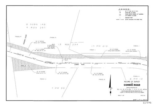
Record of Survey Book 15, pg. 183 (2014)
NC Recorders Map Survey 15-183-4:
Record of Survey Book 15, pg. 183. Combie Rd.. State Highway 49. Hacienda Dr., West. Magnolia Rd.. T14N R8E Sec. 21, 22, 27, 28. Record of Survey Book 14, pg. 103. Higgins Area Fire Protection District
NC Recorders Map Survey 15-183-4:
Record of Survey Book 15, pg. 183. Combie Rd.. State Highway 49. Hacienda Dr., West. Magnolia Rd.. T14N R8E Sec. 21, 22, 27, 28. Record of Survey Book 14, pg. 103. Higgins Area Fire Protection District
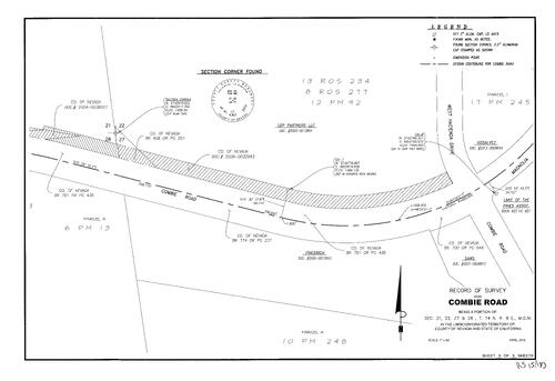
Record of Survey Book 15, pg. 183 (2014)
NC Recorders Map Survey 15-183-5:
Record of Survey Book 15, pg. 183. Combie Rd.. State Highway 49. Hacienda Dr., West. Magnolia Rd.. T14N R8E Sec. 21, 22, 27, 28. Record of Survey Book 14, pg. 103. Higgins Area Fire Protection District
NC Recorders Map Survey 15-183-5:
Record of Survey Book 15, pg. 183. Combie Rd.. State Highway 49. Hacienda Dr., West. Magnolia Rd.. T14N R8E Sec. 21, 22, 27, 28. Record of Survey Book 14, pg. 103. Higgins Area Fire Protection District
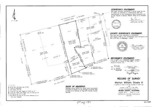
Record of Survey Book 15, pg. 184 (2015)
NC Recorders Map Survey 15-184:
Record of Survey Book 15, pg. 184. Steele, Marion William III. North San Juan Block 8. San Francisco St.. Mill St. (NSJ). San Juan St.. High St. (NSJ)
NC Recorders Map Survey 15-184:
Record of Survey Book 15, pg. 184. Steele, Marion William III. North San Juan Block 8. San Francisco St.. Mill St. (NSJ). San Juan St.. High St. (NSJ)
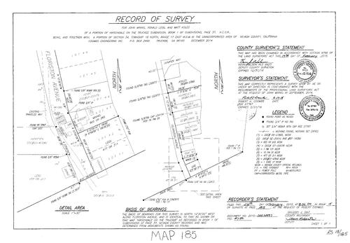
Record of Survey Book 15, pg. 185 (2015)
NC Recorders Map Survey 15-185:
Record of Survey Book 15, pg. 185. Minnis, John. Legg, Ronald. Koles, Matt. Subdivision Book 1, pg. 37. T18N R17E Sec. 34. Hirschdale on the Truckee. Floriston Ave.. Juniper Way
NC Recorders Map Survey 15-185:
Record of Survey Book 15, pg. 185. Minnis, John. Legg, Ronald. Koles, Matt. Subdivision Book 1, pg. 37. T18N R17E Sec. 34. Hirschdale on the Truckee. Floriston Ave.. Juniper Way
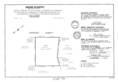
Record of Survey Book 15, pg. 186 (2015)
NC Recorders Map Survey 15-186:
. Street, Richard. Nevada City Block 3, lot 10. Nursery St.
NC Recorders Map Survey 15-186:
. Street, Richard. Nevada City Block 3, lot 10. Nursery St.
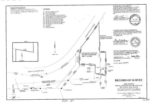
Record of Survey Book 15, pg. 187 (2015)
NC Recorders Map Survey 15-187:
Record of Survey Book 15, pg. 187. North Bloomfield Graniteville Rd.. Coyote St.. Skehan, Mike. T16N R9E Sec. 6. Nevada City Sugarloaf Properties. Haligan, Dave. Elias, Sara
NC Recorders Map Survey 15-187:
Record of Survey Book 15, pg. 187. North Bloomfield Graniteville Rd.. Coyote St.. Skehan, Mike. T16N R9E Sec. 6. Nevada City Sugarloaf Properties. Haligan, Dave. Elias, Sara
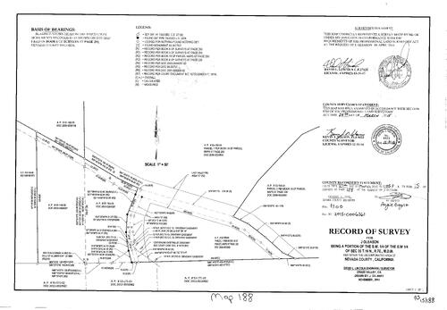
Record of Survey Book 15, pg. 188 (2015)
NC Recorders Map Survey 15-188:
Record of Survey Book 15, pg. 188. Gleason, J.. T16N R7E Sec. 35. Lazy Valley Rd.. Parcel Map Book 19, pg. 200
NC Recorders Map Survey 15-188:
Record of Survey Book 15, pg. 188. Gleason, J.. T16N R7E Sec. 35. Lazy Valley Rd.. Parcel Map Book 19, pg. 200
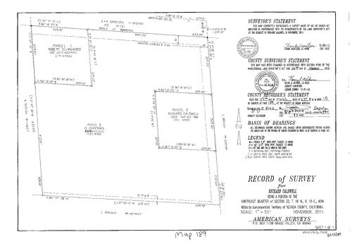
Record of Survey Book 15, pg. 189 (2015)
NC Recorders Map Survey 15-189:
Record of Survey Book 15, pg. 189. Caldwell, Richard. T16N R10E Sec. 32
NC Recorders Map Survey 15-189:
Record of Survey Book 15, pg. 189. Caldwell, Richard. T16N R10E Sec. 32
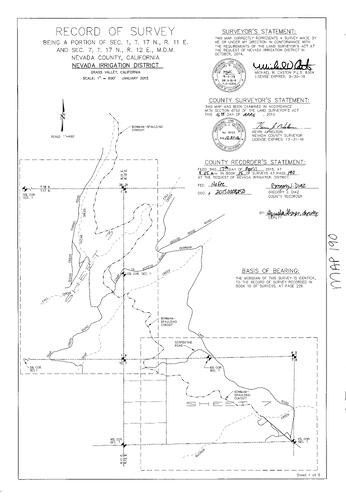
Record of Survey Book 15, pg. 190 (2015)
NC Recorders Map Survey 15-190-1:
NC Recorders Map Survey 15-190-1:
Record of Survey Book 15, pg. 190. NID. T17N R12E Sec. 7. Clear Creek Tunnel Rd.. Fall Creek... See More
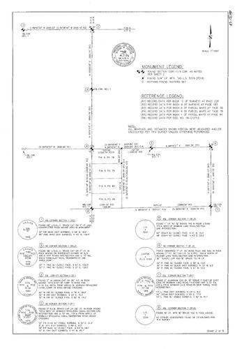
Record of Survey Book 15, pg. 190 (2015)
NC Recorders Map Survey 15-190-2:
NC Recorders Map Survey 15-190-2:
Record of Survey Book 15, pg. 190. NID. T17N R12E Sec. 7. Clear Creek Tunnel Rd.. Fall Creek... See More
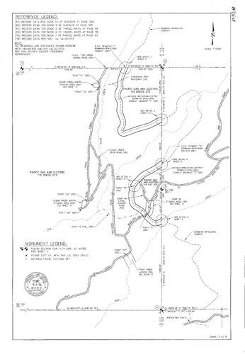
Record of Survey Book 15, pg. 190 (2015)
NC Recorders Map Survey 15-190-3:
NC Recorders Map Survey 15-190-3:
Record of Survey Book 15, pg. 190. NID. T17N R12E Sec. 7. Clear Creek Tunnel Rd.. Fall Creek... See More
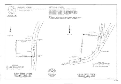
Record of Survey Book 15, pg. 190 (2015)
NC Recorders Map Survey 15-190-4:
NC Recorders Map Survey 15-190-4:
Record of Survey Book 15, pg. 190. NID. T17N R12E Sec. 7. Clear Creek Tunnel Rd.. Fall Creek. Grouse Ridge Rd.. Bowman Lake Rd.. Camp 19 Access Rd.. Trap Creek. Bowman-Spaulding Conduit. Serpentine Rd.. Rucker... See More
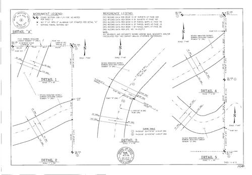
Record of Survey Book 15, pg. 190 (2015)
NC Recorders Map Survey 15-190-5:
NC Recorders Map Survey 15-190-5:
Record of Survey Book 15, pg. 190. NID. T17N R12E Sec. 7. Clear Creek Tunnel Rd.. Fall Creek. Grouse Ridge Rd.. Bowman Lake Rd.. Camp 19 Access Rd.. Trap Creek. Bowman-Spaulding Conduit. Serpentine Rd.. Rucker... See More
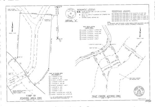
Record of Survey Book 15, pg. 190 (2015)
NC Recorders Map Survey 15-190-6:
NC Recorders Map Survey 15-190-6:
Record of Survey Book 15, pg. 190. NID. T17N R12E Sec. 7. Clear Creek Tunnel Rd.. Fall Creek. Grouse Ridge Rd.. Bowman Lake Rd.. Camp 19 Access Rd.. Trap Creek. Bowman-Spaulding Conduit. Serpentine Rd.. Rucker... See More
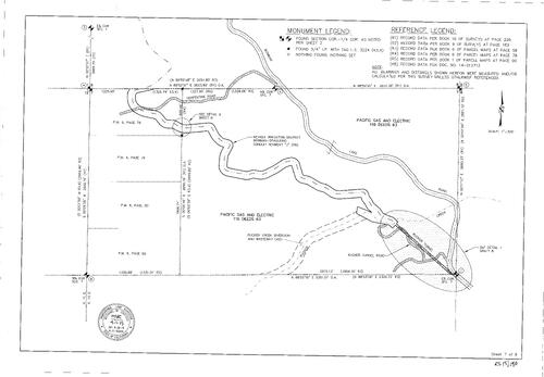
Record of Survey Book 15, pg. 190 (2015)
NC Recorders Map Survey 15-190-7:
NC Recorders Map Survey 15-190-7:
Record of Survey Book 15, pg. 190. NID. T17N R12E Sec. 7. Clear Creek Tunnel Rd.. Fall Creek. Grouse Ridge Rd.. Bowman Lake Rd.. Camp 19 Access Rd.. Trap Creek. Bowman-Spaulding Conduit. Serpentine Rd.. Rucker... See More
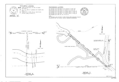
Record of Survey Book 15, pg. 190 (2015)
NC Recorders Map Survey 15-190-8:
NC Recorders Map Survey 15-190-8:
Record of Survey Book 15, pg. 190. NID. T17N R12E Sec. 7. Clear Creek Tunnel Rd.. Fall Creek. Grouse Ridge Rd.. Bowman Lake Rd.. Camp 19 Access Rd.. Trap Creek. Bowman-Spaulding Conduit. Serpentine Rd.. Rucker... See More
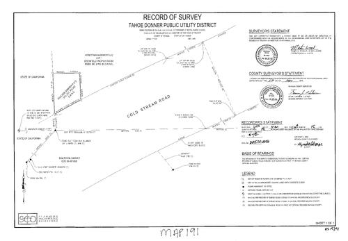
Record of Survey Book 15, pg. 191 (2015)
NC Recorders Map Survey 15-191:
Record of Survey Book 15, pg. 191. Tahoe Donner PUD. Cold Stream Rd.. T17N R16E Sec. 17
NC Recorders Map Survey 15-191:
Record of Survey Book 15, pg. 191. Tahoe Donner PUD. Cold Stream Rd.. T17N R16E Sec. 17
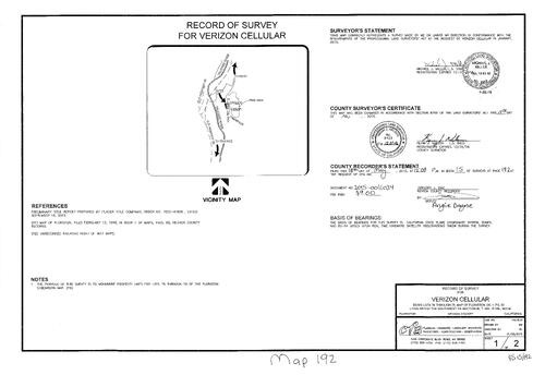
Record of Survey Book 15, pg. 192 (2015)
NC Recorders Map Survey 15-192-1:
Record of Survey Book 15, pg. 192. Verizon Cellular. Subdivision Book 1, pg. 88 lots 76-79. T18N R18E Sec. 30. Floriston Way. Cedar St.. Tamarack St.
NC Recorders Map Survey 15-192-1:
Record of Survey Book 15, pg. 192. Verizon Cellular. Subdivision Book 1, pg. 88 lots 76-79. T18N R18E Sec. 30. Floriston Way. Cedar St.. Tamarack St.
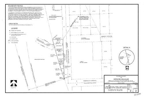
Record of Survey Book 15, pg. 192 (2015)
NC Recorders Map Survey 15-192-2:
Record of Survey Book 15, pg. 192. Verizon Cellular. Subdivision Book 1, pg. 88 lots 76-79. T18N R18E Sec. 30. Floriston Way. Cedar St.. Tamarack St.
NC Recorders Map Survey 15-192-2:
Record of Survey Book 15, pg. 192. Verizon Cellular. Subdivision Book 1, pg. 88 lots 76-79. T18N R18E Sec. 30. Floriston Way. Cedar St.. Tamarack St.
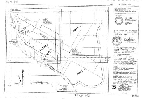
Record of Survey Book 15, pg. 193 (2015)
NC Recorders Map Survey 15-193-1:
Record of Survey Book 15, pg. 193. Truckee Tahoe Airport District. T17N R16E Sec. 13, 24. T17N R17E Sec. 18, 19. Joerger Rd.. State Highway 267. Martis Dam Rd.. Nevada/Placer County Line. Airport Rd.
NC Recorders Map Survey 15-193-1:
Record of Survey Book 15, pg. 193. Truckee Tahoe Airport District. T17N R16E Sec. 13, 24. T17N R17E Sec. 18, 19. Joerger Rd.. State Highway 267. Martis Dam Rd.. Nevada/Placer County Line. Airport Rd.
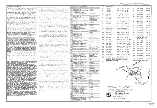
Record of Survey Book 15, pg. 193 (2015)
NC Recorders Map Survey 15-193-2:
Record of Survey Book 15, pg. 193. Truckee Tahoe Airport District. T17N R16E Sec. 13, 24. T17N R17E Sec. 18, 19. Joerger Rd.. State Highway 267. Martis Dam Rd.. Nevada/Placer County Line. Airport Rd.
NC Recorders Map Survey 15-193-2:
Record of Survey Book 15, pg. 193. Truckee Tahoe Airport District. T17N R16E Sec. 13, 24. T17N R17E Sec. 18, 19. Joerger Rd.. State Highway 267. Martis Dam Rd.. Nevada/Placer County Line. Airport Rd.
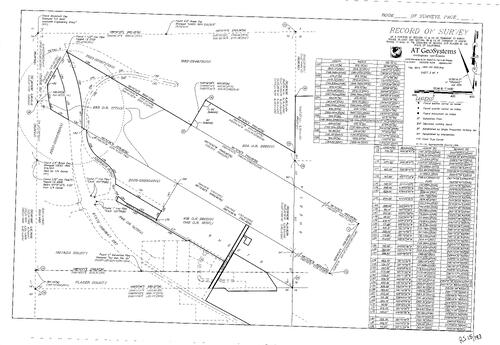
Record of Survey Book 15, pg. 193 (2015)
NC Recorders Map Survey 15-193-3:
Record of Survey Book 15, pg. 193. Truckee Tahoe Airport District. T17N R16E Sec. 13, 24. T17N R17E Sec. 18, 19. Joerger Rd.. State Highway 267. Martis Dam Rd.. Nevada/Placer County Line. Airport Rd.
NC Recorders Map Survey 15-193-3:
Record of Survey Book 15, pg. 193. Truckee Tahoe Airport District. T17N R16E Sec. 13, 24. T17N R17E Sec. 18, 19. Joerger Rd.. State Highway 267. Martis Dam Rd.. Nevada/Placer County Line. Airport Rd.
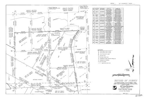
Record of Survey Book 15, pg. 193 (2015)
NC Recorders Map Survey 15-193-4:
Record of Survey Book 15, pg. 193. Truckee Tahoe Airport District. T17N R16E Sec. 13, 24. T17N R17E Sec. 18, 19. Joerger Rd.. State Highway 267. Martis Dam Rd.. Nevada/Placer County Line. Airport Rd.
NC Recorders Map Survey 15-193-4:
Record of Survey Book 15, pg. 193. Truckee Tahoe Airport District. T17N R16E Sec. 13, 24. T17N R17E Sec. 18, 19. Joerger Rd.. State Highway 267. Martis Dam Rd.. Nevada/Placer County Line. Airport Rd.
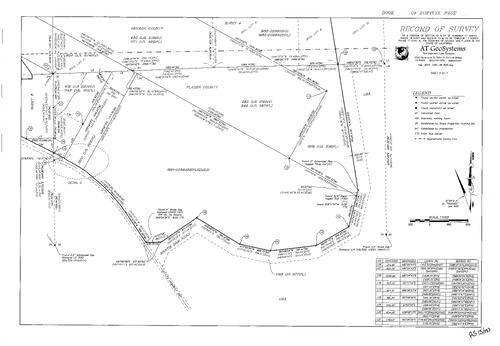
Record of Survey Book 15, pg. 193 (2015)
NC Recorders Map Survey 15-193-5:
Record of Survey Book 15, pg. 193. Truckee Tahoe Airport District. T17N R16E Sec. 13, 24. T17N R17E Sec. 18, 19. Joerger Rd.. State Highway 267. Martis Dam Rd.. Nevada/Placer County Line. Airport Rd.
NC Recorders Map Survey 15-193-5:
Record of Survey Book 15, pg. 193. Truckee Tahoe Airport District. T17N R16E Sec. 13, 24. T17N R17E Sec. 18, 19. Joerger Rd.. State Highway 267. Martis Dam Rd.. Nevada/Placer County Line. Airport Rd.
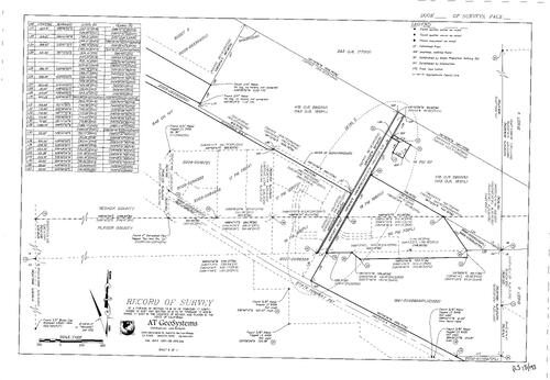
Record of Survey Book 15, pg. 193 (2015)
NC Recorders Map Survey 15-193-6:
Record of Survey Book 15, pg. 193. Truckee Tahoe Airport District. T17N R16E Sec. 13, 24. T17N R17E Sec. 18, 19. Joerger Rd.. State Highway 267. Martis Dam Rd.. Nevada/Placer County Line. Airport Rd.
NC Recorders Map Survey 15-193-6:
Record of Survey Book 15, pg. 193. Truckee Tahoe Airport District. T17N R16E Sec. 13, 24. T17N R17E Sec. 18, 19. Joerger Rd.. State Highway 267. Martis Dam Rd.. Nevada/Placer County Line. Airport Rd.
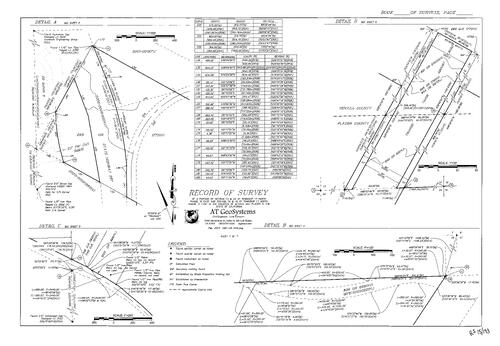
Record of Survey Book 15, pg. 193 (2015)
NC Recorders Map Survey 15-193-7:
Record of Survey Book 15, pg. 193. Truckee Tahoe Airport District. T17N R16E Sec. 13, 24. T17N R17E Sec. 18, 19. Joerger Rd.. State Highway 267. Martis Dam Rd.. Nevada/Placer County Line. Airport Rd.
NC Recorders Map Survey 15-193-7:
Record of Survey Book 15, pg. 193. Truckee Tahoe Airport District. T17N R16E Sec. 13, 24. T17N R17E Sec. 18, 19. Joerger Rd.. State Highway 267. Martis Dam Rd.. Nevada/Placer County Line. Airport Rd.
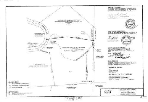
Record of Survey Book 15, pg. 194 (2015)
NC Recorders Map Survey 15-194:
Record of Survey Book 15, pg. 194. Thoroughbred Loop. Subdivision Book 6, pg. 34. Wright, Anne. T15N R8E Sec. 4
NC Recorders Map Survey 15-194:
Record of Survey Book 15, pg. 194. Thoroughbred Loop. Subdivision Book 6, pg. 34. Wright, Anne. T15N R8E Sec. 4
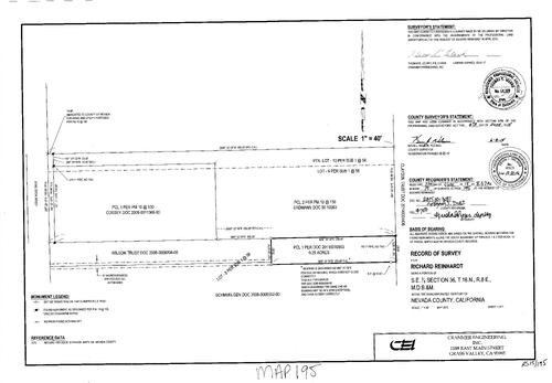
Record of Survey Book 15, pg. 195 (2015)
NC Recorders Map Survey 15-195:
Record of Survey Book 15, pg. 195. Reinhardt, Richard. Cedar Ridge Dr.. Subdivision Book 1, pg. 56. Parcel Map Book 10, pg. 130
NC Recorders Map Survey 15-195:
Record of Survey Book 15, pg. 195. Reinhardt, Richard. Cedar Ridge Dr.. Subdivision Book 1, pg. 56. Parcel Map Book 10, pg. 130
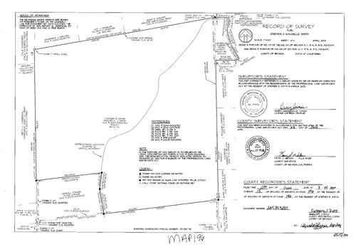
Record of Survey Book 15, pg. 196 (2015)
NC Recorders Map Survey 15-196:
Record of Survey Book 15, pg. 196. Smith, Stephen & Rachelle. T15N R8E Sec. 9, 10. Auburn Rd.. Hidden Valley Rd.
NC Recorders Map Survey 15-196:
Record of Survey Book 15, pg. 196. Smith, Stephen & Rachelle. T15N R8E Sec. 9, 10. Auburn Rd.. Hidden Valley Rd.
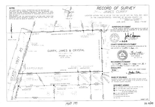
Record of Survey Book 15, pg. 197 (2015)
NC Recorders Map Survey 15-197:
Record of Survey Book 15, pg. 197. Curry, James & Crystal. T15N R8E Sec. 34. State Highway 49. Parcel Map Book 10, pg. 82. Parcel Map Book 8, pg. 48. Parcel Map Book 8, pg. 114
NC Recorders Map Survey 15-197:
Record of Survey Book 15, pg. 197. Curry, James & Crystal. T15N R8E Sec. 34. State Highway 49. Parcel Map Book 10, pg. 82. Parcel Map Book 8, pg. 48. Parcel Map Book 8, pg. 114
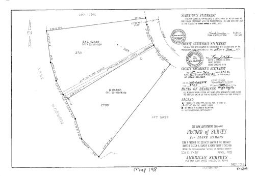
Record of Survey Book 15, pg. 198 (2015)
NC Recorders Map Survey 15-198:
Record of Survey Book 15, pg. 198. Harris, Diane. Ginger Loop. Lake Wildwood. T16N R17E Sec. 16
NC Recorders Map Survey 15-198:
Record of Survey Book 15, pg. 198. Harris, Diane. Ginger Loop. Lake Wildwood. T16N R17E Sec. 16
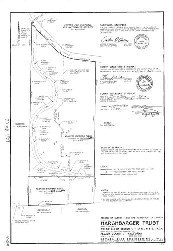
Record of Survey Book 15, pg. 199 (2015)
NC Recorders Map Survey 15-199:
NC Recorders Map Survey 15-199:
Record of Survey Book 15, pg. 199. Harshbarger Trust. Oak Tree Rd.. Record of Survey Book 10, pg... See More
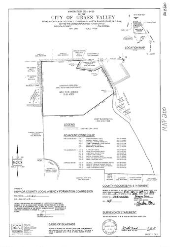
Record of Survey Book 15, pg. 200 (2015)
NC Recorders Map Survey 15-200:
NC Recorders Map Survey 15-200:
Record of Survey Book 15, pg. 200. Grass Valley Annexation. T15N R8E Sec. 2. Taylorville Rd.. Asset... See More
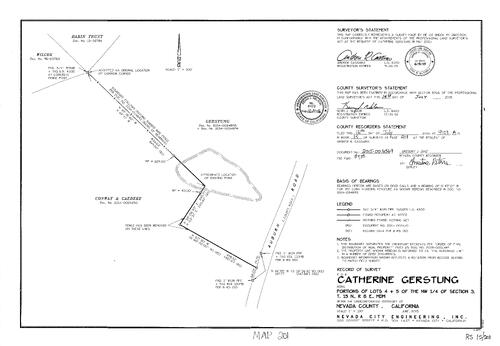
Record of Survey Book 15, pg. 201 (2015)
NC Recorders Map Survey 15-201:
Record of Survey Book 15, pg. 201. Gerstung, Catherine. T15N R8E Sec. 3 lots 4 & 5. Auburn Rd.
NC Recorders Map Survey 15-201:
Record of Survey Book 15, pg. 201. Gerstung, Catherine. T15N R8E Sec. 3 lots 4 & 5. Auburn Rd.
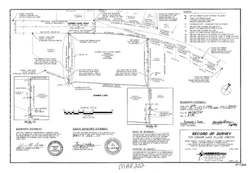
Record of Survey Book 15, pg. 202 (2015)
NC Recorders Map Survey 15-202:
Record of Survey Book 15, pg. 202. Donner Lake Village Owners. Donner Pass Rd.. Subdivision Book 7, pg. 4. T17N R15E Sec. 14
NC Recorders Map Survey 15-202:
Record of Survey Book 15, pg. 202. Donner Lake Village Owners. Donner Pass Rd.. Subdivision Book 7, pg. 4. T17N R15E Sec. 14
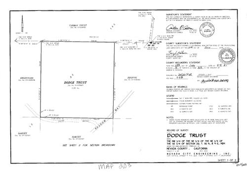
Record of Survey Book 15, pg. 203 (2015)
NC Recorders Map Survey 15-203-1:
Record of Survey Book 15, pg. 203. Dodge Trust. T16N R9E Sec. 26. Meadow Way. Record of Survey Book 12, pg. 165
NC Recorders Map Survey 15-203-1:
Record of Survey Book 15, pg. 203. Dodge Trust. T16N R9E Sec. 26. Meadow Way. Record of Survey Book 12, pg. 165
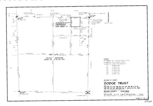
Record of Survey Book 15, pg. 203 (2015)
NC Recorders Map Survey 15-203-2:
Record of Survey Book 15, pg. 203. Dodge Trust. T16N R9E Sec. 26. Meadow Way. Record of Survey Book 12, pg. 165
NC Recorders Map Survey 15-203-2:
Record of Survey Book 15, pg. 203. Dodge Trust. T16N R9E Sec. 26. Meadow Way. Record of Survey Book 12, pg. 165
Survey Map Book 15, pg. 204
NC Recorders Map Survey 15-204
NC Recorders Map Survey 15-204
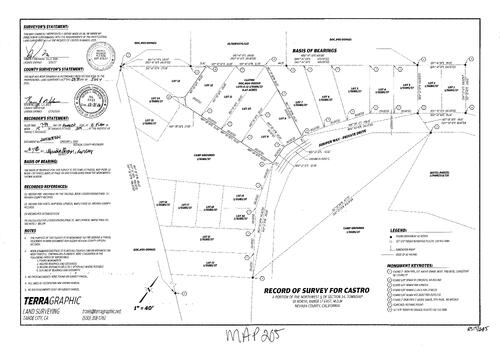
Record of Survey Book 15, pg. 205 (2015)
NC Recorders Map Survey 15-205:
Record of Survey Book 15, pg. 205. T18N R17E Sec. 34. Subdivision Book 1, pg. 37. Juniper Way. Parcel Map Book 1, pg. 131
NC Recorders Map Survey 15-205:
Record of Survey Book 15, pg. 205. T18N R17E Sec. 34. Subdivision Book 1, pg. 37. Juniper Way. Parcel Map Book 1, pg. 131
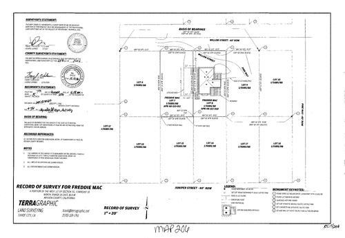
Record of Survey Book 15, pg. 206 (2015)
NC Recorders Map Survey 15-206:
Record of Survey Book 15, pg. 206. Freddie Mac. T18N R18E Sec. 30. Subdivision Book 1, pg. 88. Willow St.. Pine Way
NC Recorders Map Survey 15-206:
Record of Survey Book 15, pg. 206. Freddie Mac. T18N R18E Sec. 30. Subdivision Book 1, pg. 88. Willow St.. Pine Way
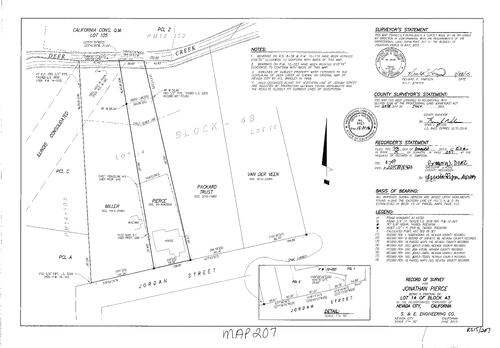
Record of Survey Book 15, pg. 207 (2015)
NC Recorders Map Survey 15-207:
. California Consolicated Quarta Mine lot 105. Parcel Map Book 16, pg. 110. Deer Creek. Illinois Consolidated. Jordan St.. Pierce, Jonathan. Nevada City Block 43 lot 14
NC Recorders Map Survey 15-207:
. California Consolicated Quarta Mine lot 105. Parcel Map Book 16, pg. 110. Deer Creek. Illinois Consolidated. Jordan St.. Pierce, Jonathan. Nevada City Block 43 lot 14
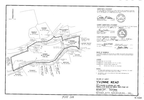
Record of Survey Book 15, pg. 208 (2015)
NC Recorders Map Survey 15-208:
Record of Survey Book 15, pg. 208. Read, Yvonne. Nevada City Block 41 lot 6. Parcel Map Book 16, pg. 119 parcel 2. Monroe St.. Wyoming Rd.. Deer Creek
NC Recorders Map Survey 15-208:
Record of Survey Book 15, pg. 208. Read, Yvonne. Nevada City Block 41 lot 6. Parcel Map Book 16, pg. 119 parcel 2. Monroe St.. Wyoming Rd.. Deer Creek
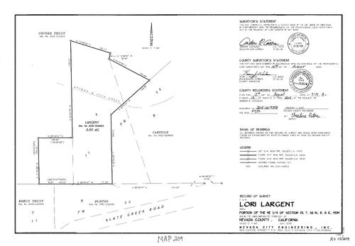
Record of Survey Book 15, pg. 209 (2015)
NC Recorders Map Survey 15-209:
Record of Survey Book 15, pg. 209. Largent, Lori. T16N R8E Sec. 15. Slate Creek Rd.. Deer Creek. Parcel Map Book 11, pg. 23
NC Recorders Map Survey 15-209:
Record of Survey Book 15, pg. 209. Largent, Lori. T16N R8E Sec. 15. Slate Creek Rd.. Deer Creek. Parcel Map Book 11, pg. 23
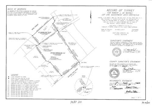
Record of Survey Book 15, pg. 210 (2015)
NC Recorders Map Survey 15-210:
Record of Survey Book 15, pg. 210. High St. (Truckee). Donner Pass Rd.. Micheli, Robert J.. Parcel Map Book 18, pg. 402 parcel 1. T17N R16E Sec. 5
NC Recorders Map Survey 15-210:
Record of Survey Book 15, pg. 210. High St. (Truckee). Donner Pass Rd.. Micheli, Robert J.. Parcel Map Book 18, pg. 402 parcel 1. T17N R16E Sec. 5
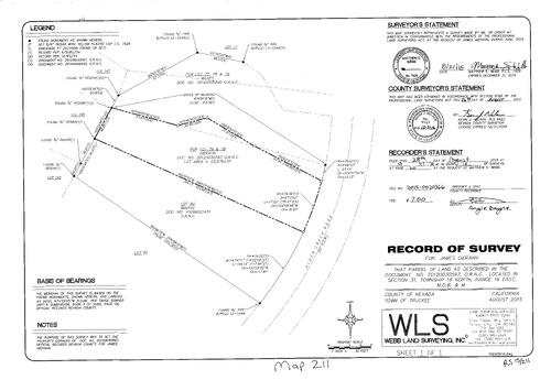
Record of Survey Book 15, pg. 211 (2015)
NC Recorders Map Survey 15-211:
Record of Survey Book 15, pg. 211. Alder Creek Rd.. Gierahn, James. T18N R16E Sec. 31
NC Recorders Map Survey 15-211:
Record of Survey Book 15, pg. 211. Alder Creek Rd.. Gierahn, James. T18N R16E Sec. 31
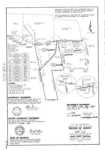
Record of Survey Book 15, pg. 212 (2015)
NC Recorders Map Survey 15-212:
Record of Survey Book 15, pg. 212. Zap, LLC. T14N R8E Sec. 20
NC Recorders Map Survey 15-212:
Record of Survey Book 15, pg. 212. Zap, LLC. T14N R8E Sec. 20
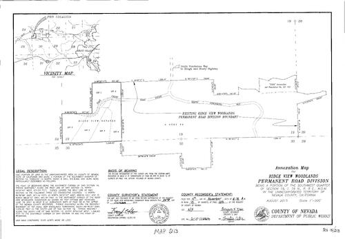
Record of Survey Book 15, pg. 213 (2015)
NC Recorders Map Survey 15-213:
Record of Survey Book 15, pg. 213. Ridge View Woodlands Permanent Rd. Div. Annexation. T16N R8E Sec. 19. Haas Court
NC Recorders Map Survey 15-213:
Record of Survey Book 15, pg. 213. Ridge View Woodlands Permanent Rd. Div. Annexation. T16N R8E Sec. 19. Haas Court
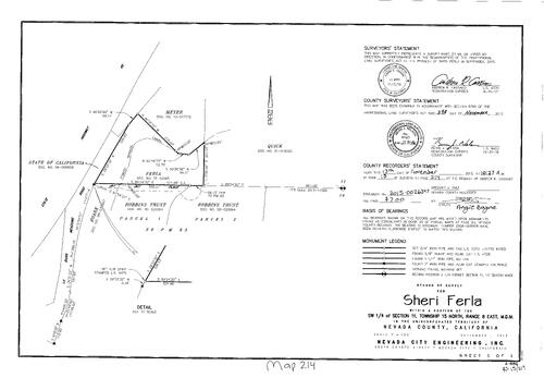
Record of Survey Book 15, pg. 214 (2015)
NC Recorders Map Survey 15-214:
Record of Survey Book 15, pg. 214. Ferla, Sheri. T15N R8E Sec. 11. State Highway 49. LaBarr Meadows Rd.. Forest Springs Canal. Parcel Map Book 20, pg. 83
NC Recorders Map Survey 15-214:
Record of Survey Book 15, pg. 214. Ferla, Sheri. T15N R8E Sec. 11. State Highway 49. LaBarr Meadows Rd.. Forest Springs Canal. Parcel Map Book 20, pg. 83
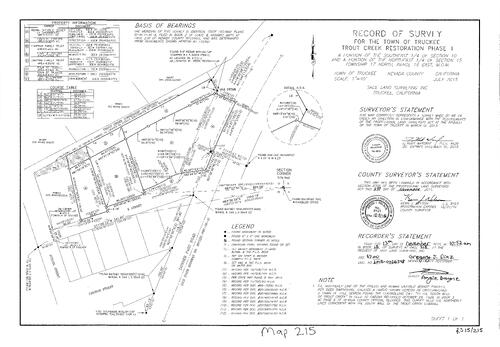
Record of Survey Book 15, pg. 215 (2015)
NC Recorders Map Survey 15-215:
Record of Survey Book 15, pg. 215. Town of Truckee Trough Creek Restoration Phase I. T17N R16E Sec. 10, 15. Trout Creek. E St. (Truckee). Donner Pass Rd.. School St. (Truckee). Church St. (Truckee)
NC Recorders Map Survey 15-215:
Record of Survey Book 15, pg. 215. Town of Truckee Trough Creek Restoration Phase I. T17N R16E Sec. 10, 15. Trout Creek. E St. (Truckee). Donner Pass Rd.. School St. (Truckee). Church St. (Truckee)
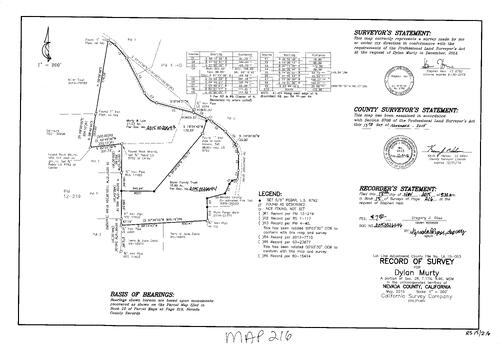
Record of Survey Book 15, pg. 216 (2015)
NC Recorders Map Survey 15-216:
Record of Survey Book 15, pg. 216. Murty, Dylan. T17N R9E Sec. 28. North Bloomfield Rd.. Nevada County Consolidated Fire Dept.
NC Recorders Map Survey 15-216:
Record of Survey Book 15, pg. 216. Murty, Dylan. T17N R9E Sec. 28. North Bloomfield Rd.. Nevada County Consolidated Fire Dept.
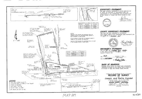
Record of Survey Book 15, pg. 217 (2015)
NC Recorders Map Survey 15-217:
Record of Survey Book 15, pg. 217. Kandell, Joseph & Netta. T15N R8E Sec. 1, 12. Goodall Mine Rd. easement. Rattlesnake Ridge Assoc.
NC Recorders Map Survey 15-217:
Record of Survey Book 15, pg. 217. Kandell, Joseph & Netta. T15N R8E Sec. 1, 12. Goodall Mine Rd. easement. Rattlesnake Ridge Assoc.
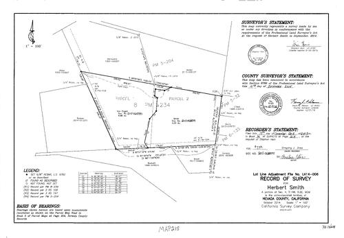
Record of Survey Book 15, pg. 218 (2015)
NC Recorders Map Survey 15-218:
Record of Survey Book 15, pg. 218. Smith, Herbert. T14N R8E Sec. 4. Kyler Ditch. Parcel Map Book 8, pg. 234. Parcel Map Book 6, pg. 135. Parcel Map Book 5, pg. 32
NC Recorders Map Survey 15-218:
Record of Survey Book 15, pg. 218. Smith, Herbert. T14N R8E Sec. 4. Kyler Ditch. Parcel Map Book 8, pg. 234. Parcel Map Book 6, pg. 135. Parcel Map Book 5, pg. 32


